


Alton Circular
Sat 1st Jun 2019
Walk Details:
Event Type
Group Walk
Region
Southern England
Local Group
London
Distance
22ml.
Start Time
09.10
Route
Alton railway station (dep London Waterloo 07.53 direct train)
General Notes
Lunch in Selborne - choice of pub, cafe or shop
Web Site
Start
Finish
Entry Details:
Cost
Walk Report
Alton Circular, Saturday 1st June 201921 walkers, 21 miles â leader Lonica Vanclay
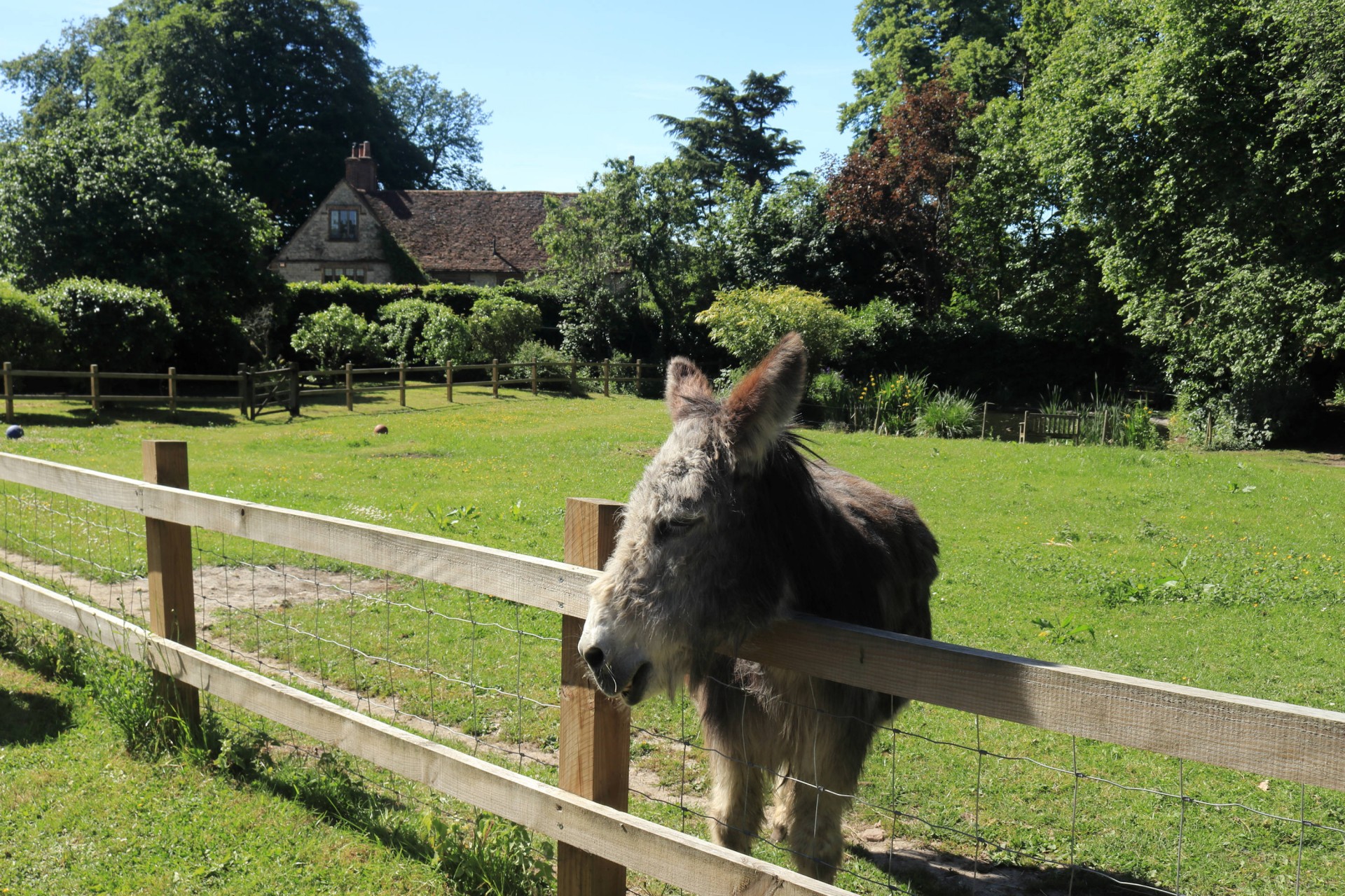
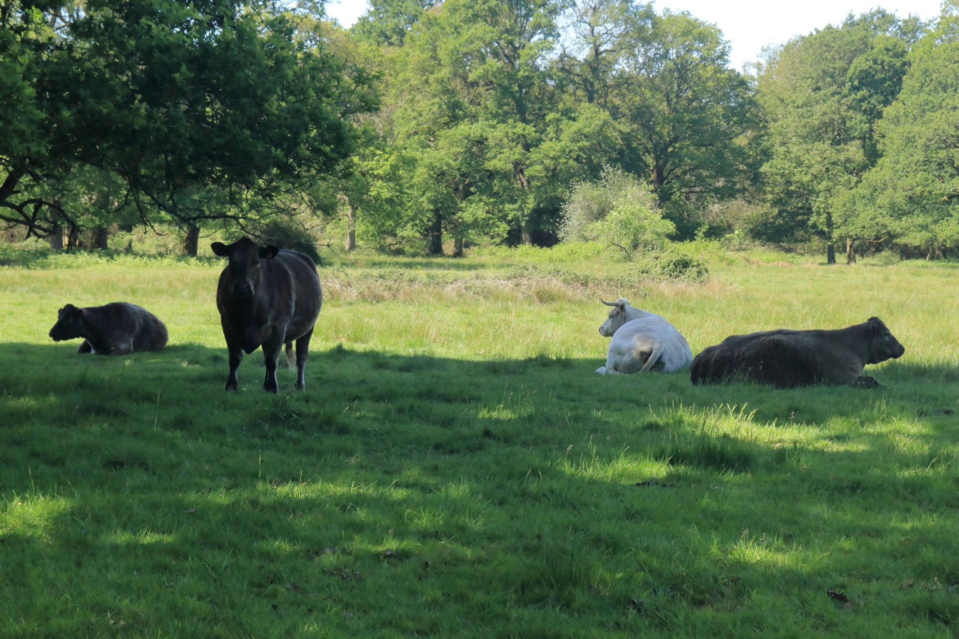
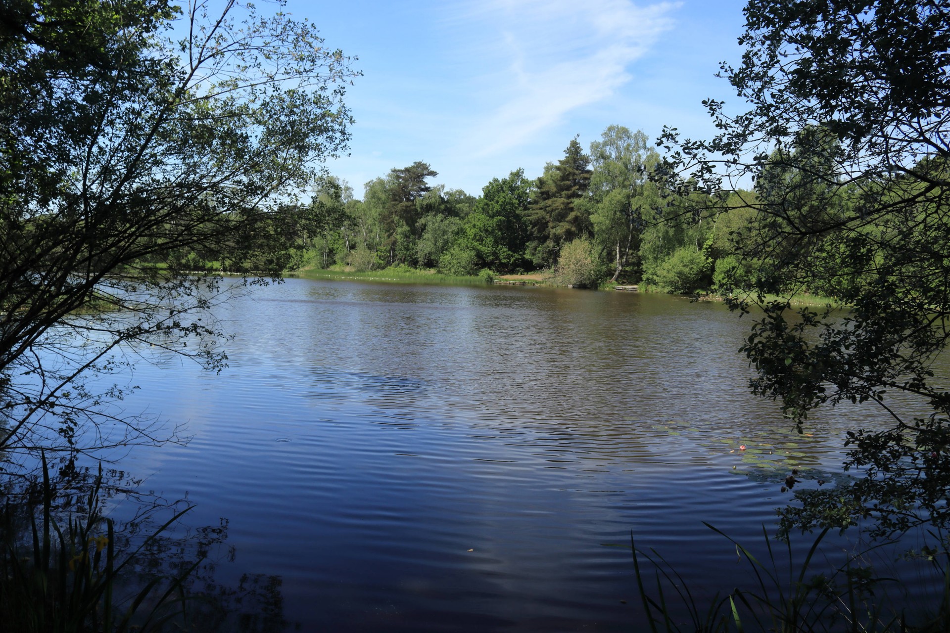
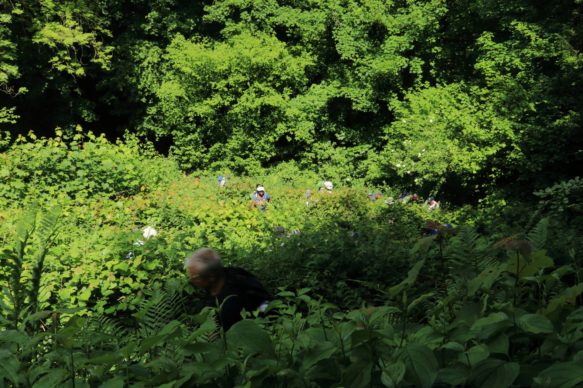
It was a beautiful sunny day so 21 people were there at Alton ready to join me for the walk. Hampshire at its wildest and finest.
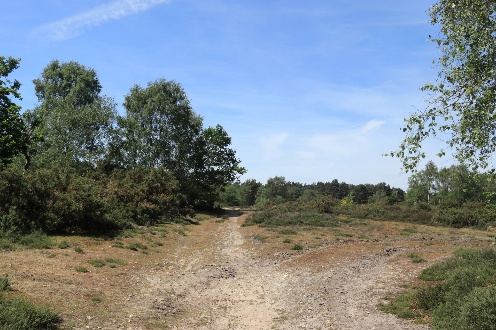
Woods and wheat fields and grand sweeping vistas ⦠the enjoyment of which was only heightened by the profusion of nettles hiding the paths, the array of stiles some of which were definitely eroded, makeshift and shonky and most exciting and unexpected of all (given it was high summer) a little boggy bit where we all had a chance to cool our feet.
Just 3 of us missed the train by a second and had to wait half an hour till the next one.
Photographs by Gavin Fuller; more from Gavin on the group Facebook site
Other Files
Download Walk ReportGPX
A GPX file of the above route may be downloaded by clicking the link below.
Note: GPX files of Group Walks are created by LDWA Group members, and may be downloaded only by other LDWA members. They should not be made available outside the LDWA, and are used at members' own risk.
Login to Download (Members Only)You can use the interactive controls to zoom in and out and to move around the map, or click on a path or a marker for more info. (interactive map help)
You can use the interactive controls to zoom in and out and to move around the map, or click on a path or a marker for more info. (interactive map help)
Contains Ordnance Survey data © Crown copyright and database right 2016.
© OpenStreetMap contributors under Open Database Licence
Rights of way data from selected Local Authorities
Large scale digital mapping is provided by John Thorn
At high zoom levels the route is indicative only.
© OpenStreetMap contributors under Open Database Licence
Rights of way data from selected Local Authorities
Large scale digital mapping is provided by John Thorn
At high zoom levels the route is indicative only.
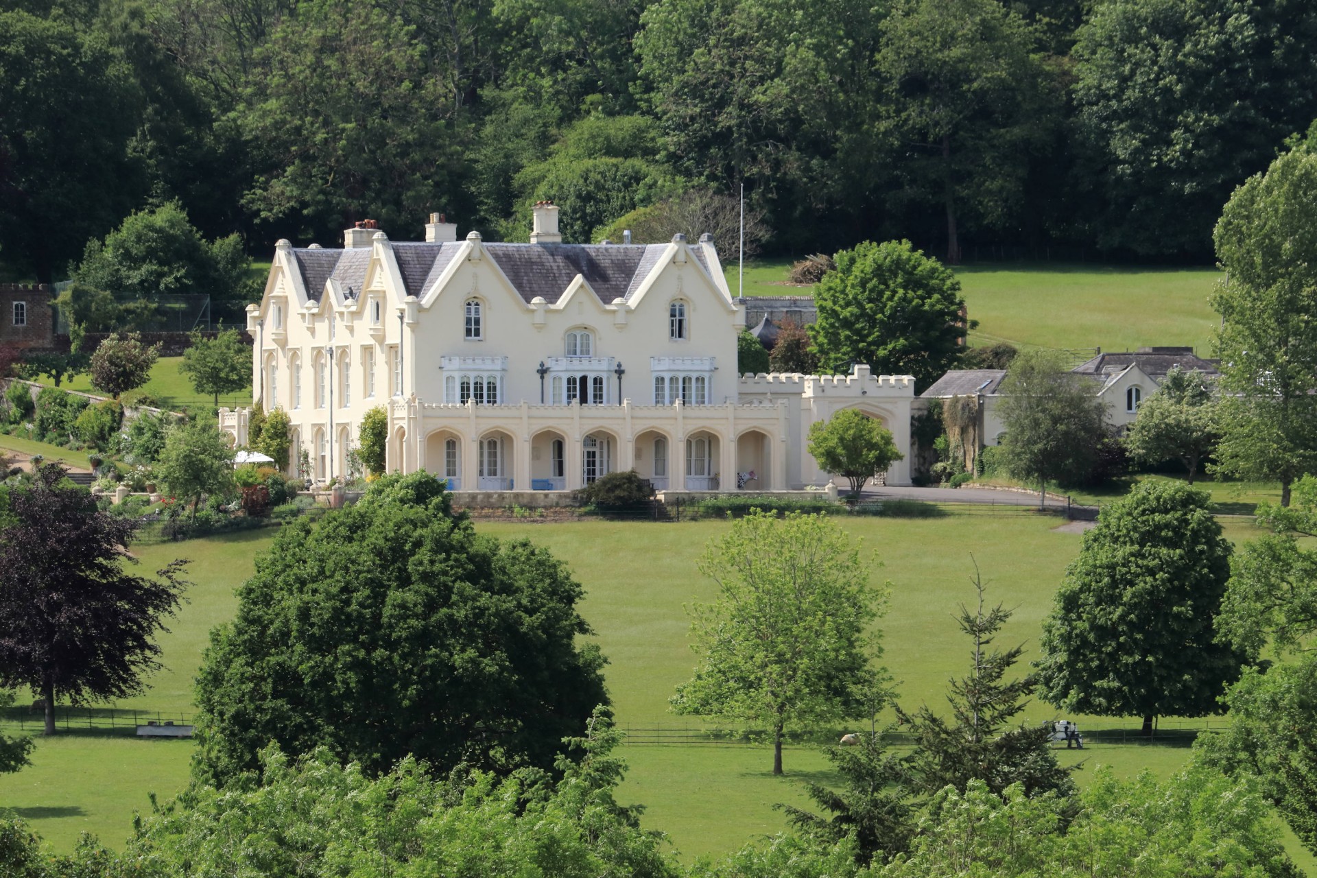
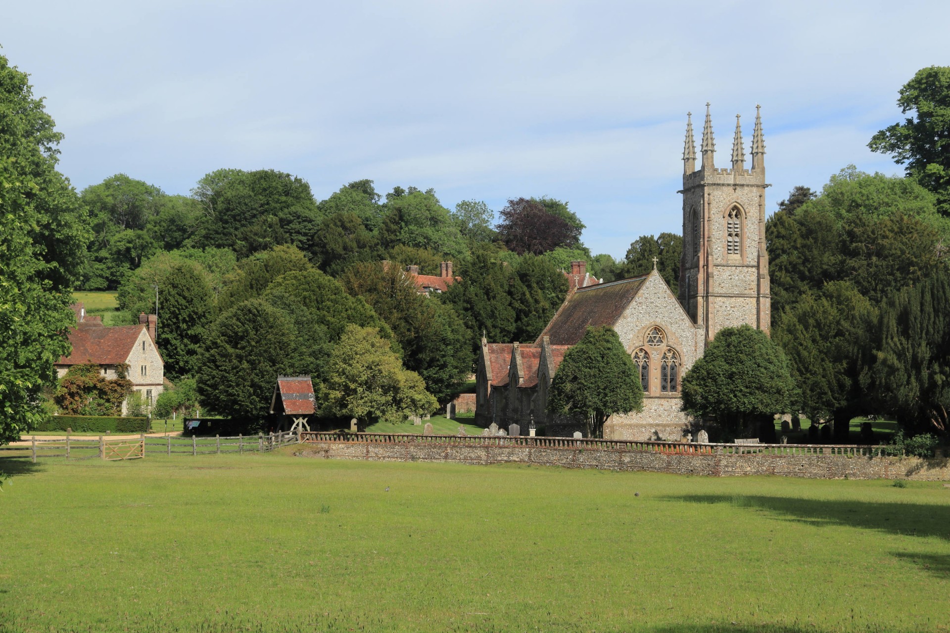
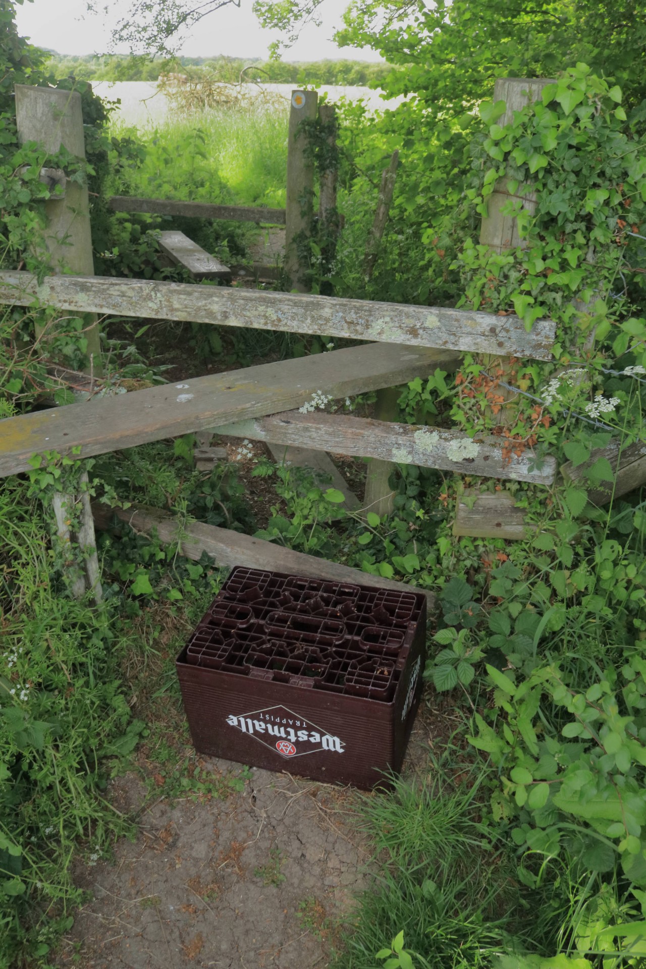
Gallery


Maps:
You can use the interactive controls to zoom in and out and to move around the map, or click on a marker for more info. (interactive map help)
Contains Ordnance Survey data © Crown copyright and database right 2016.
© OpenStreetMap contributors under Open Database Licence.
Rights of way data from selected Local Authorities.
Large scale digital mapping is provided by John Thorn.
© OpenStreetMap contributors under Open Database Licence.
Rights of way data from selected Local Authorities.
Large scale digital mapping is provided by John Thorn.


