


The Gainsborough Line Part 2: POP UP WALK
Fri 24th Aug 2018
Walk Details:
Event Type
Group Walk
Region
Southern England
Local Group
London
Distance
15ml.
Start Time
10.33
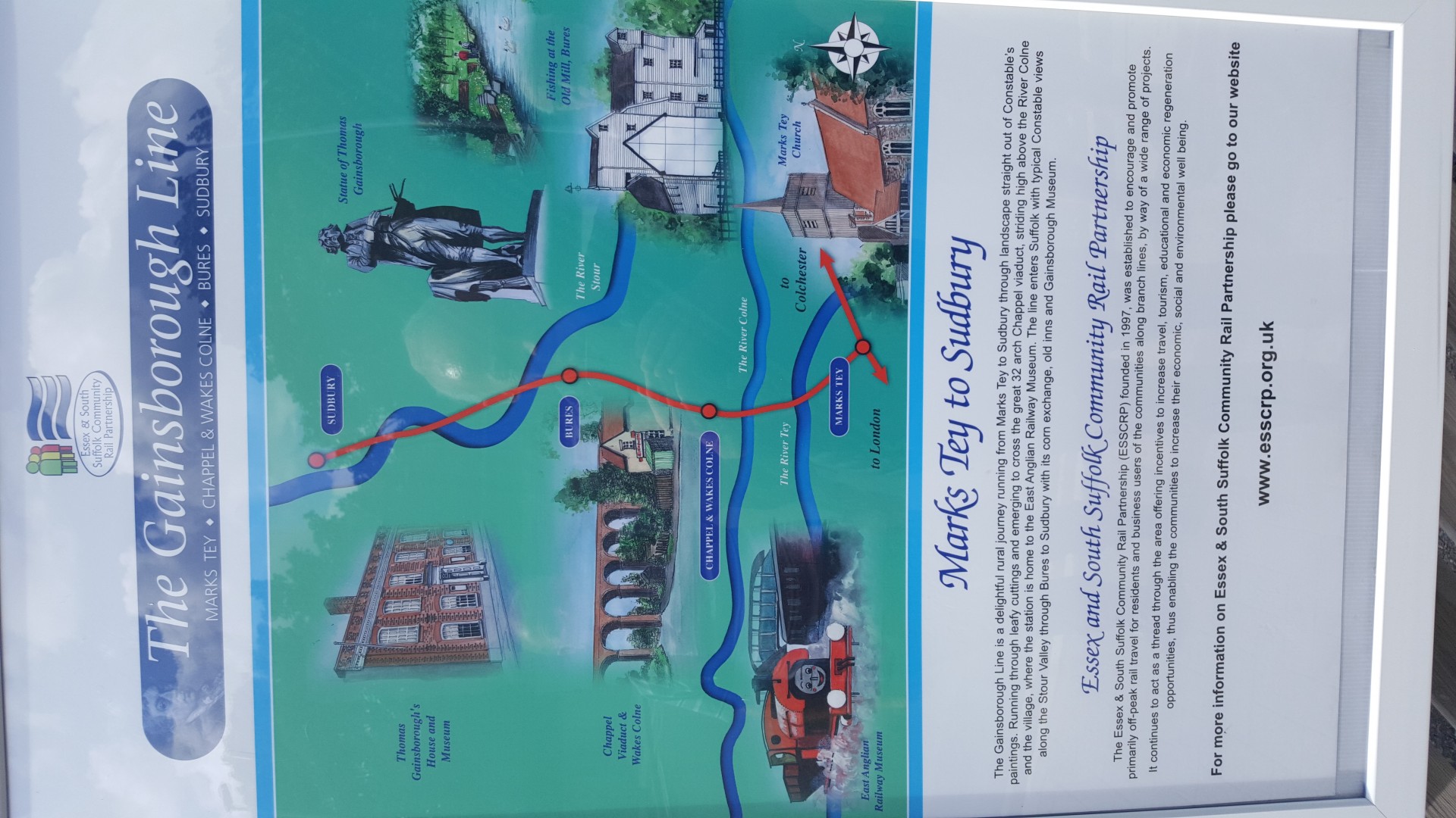
Route
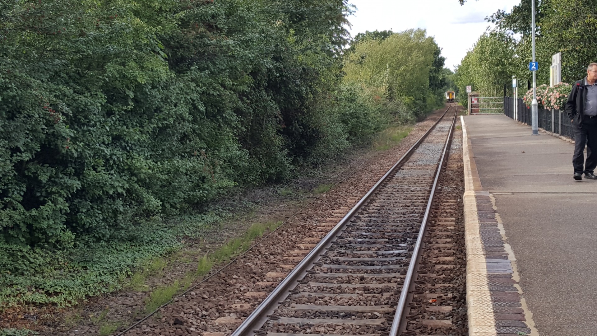
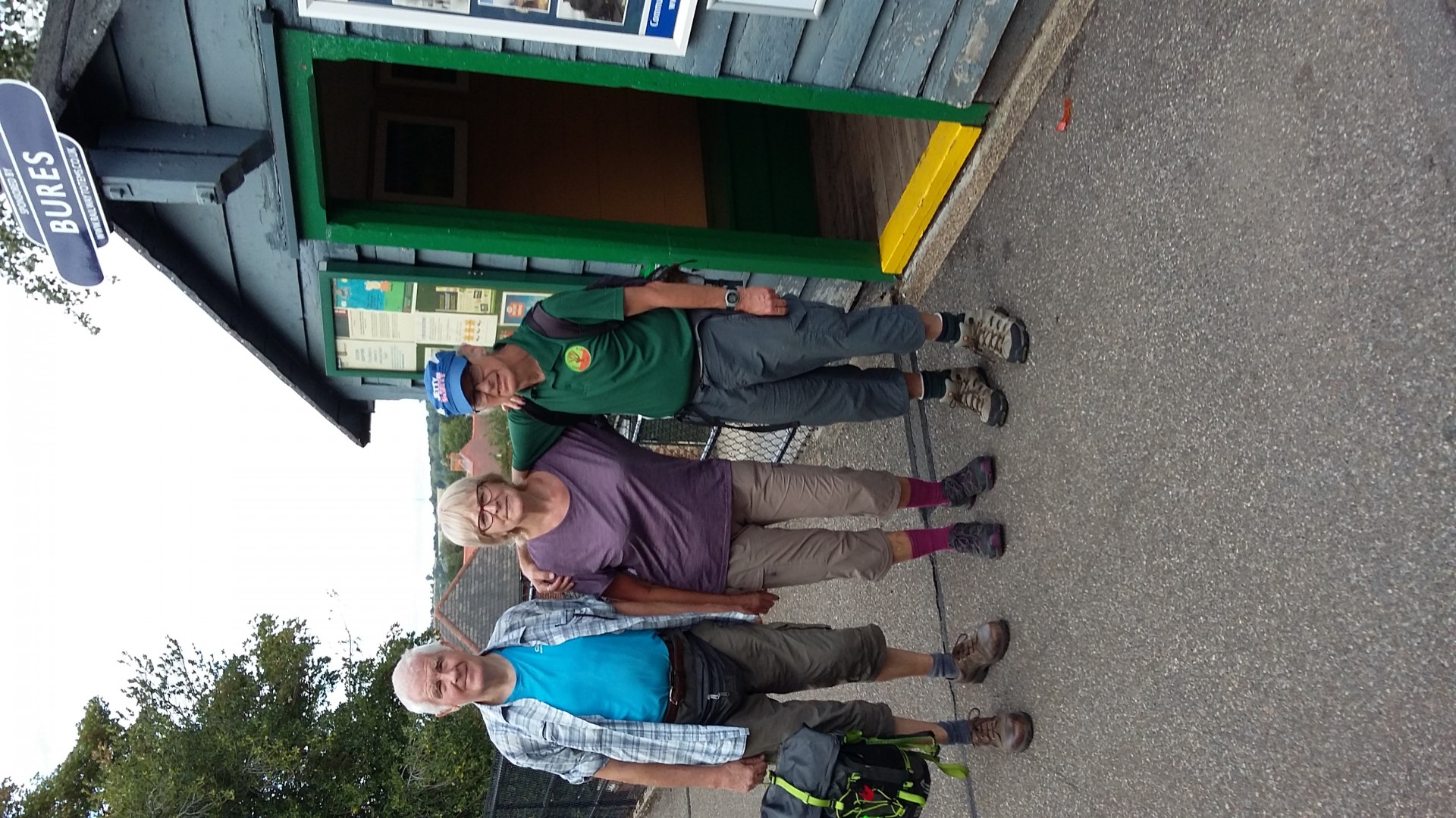
Marks Tey Station (Liverpool Street 09.38) Finish: Bures Station (Hourly Service to Liverpool Street, Change at Marks Tey)
A linear walk loosely following the route of this Essex / Suffolk branch line which miraculously survived the Beeching cuts
General Notes
Refreshments at 6 miles and at the end, but bring own survival gear as the route has not been recced. So who knows what will happen, not recommended for those with a nervous disposition
Web Site
Start and Finish
Entry Details:
Cost
Walk Report
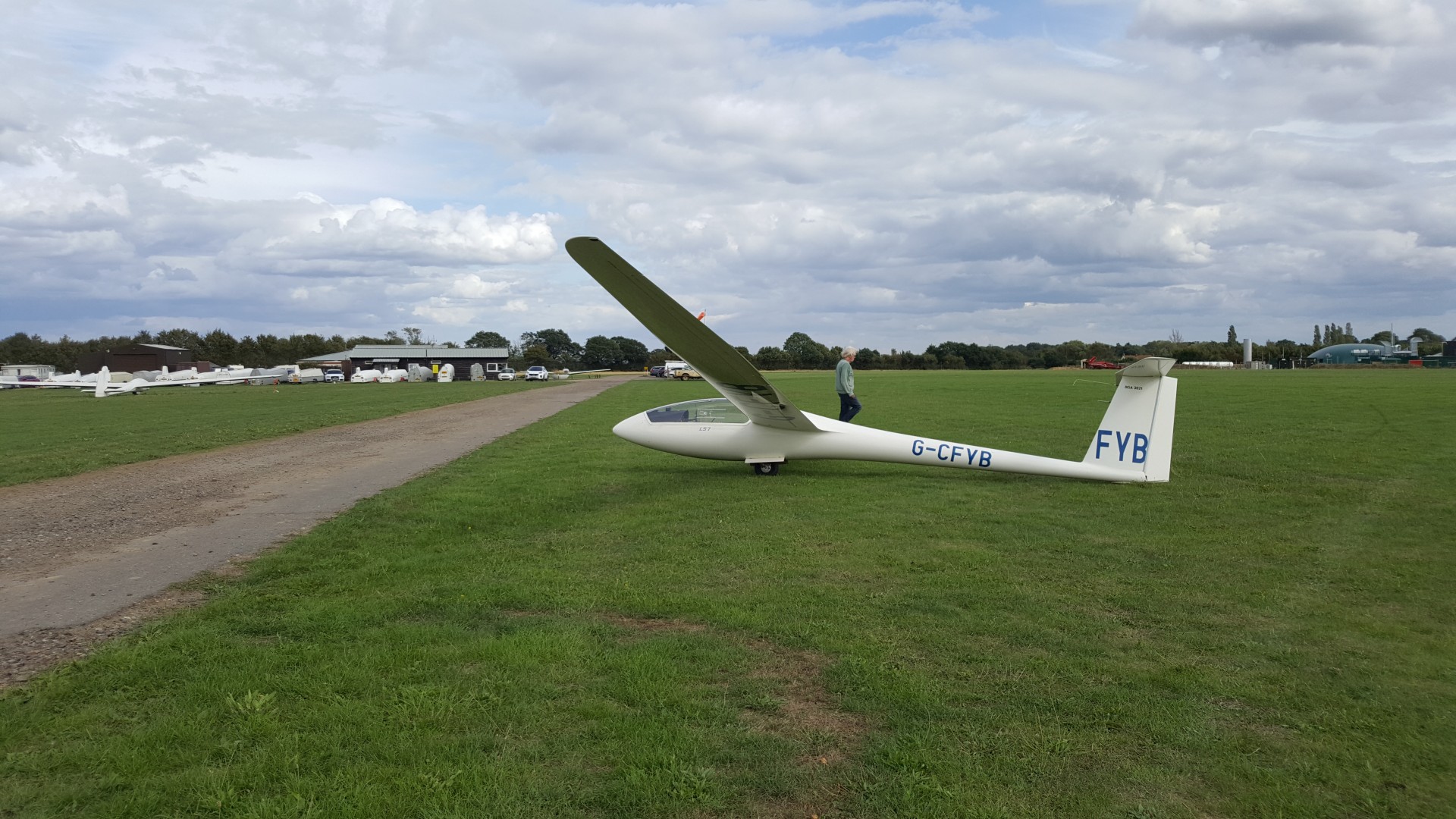
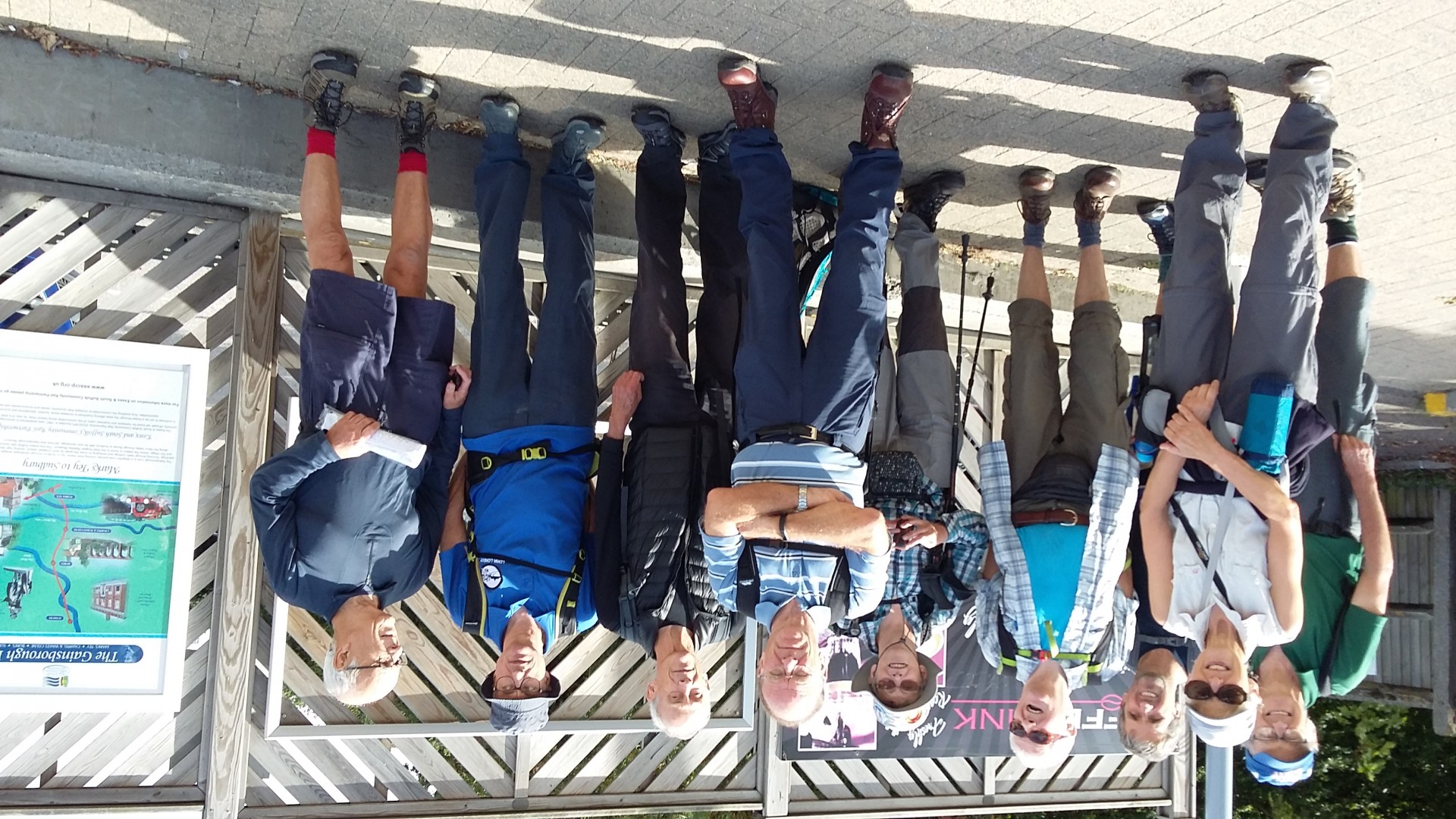
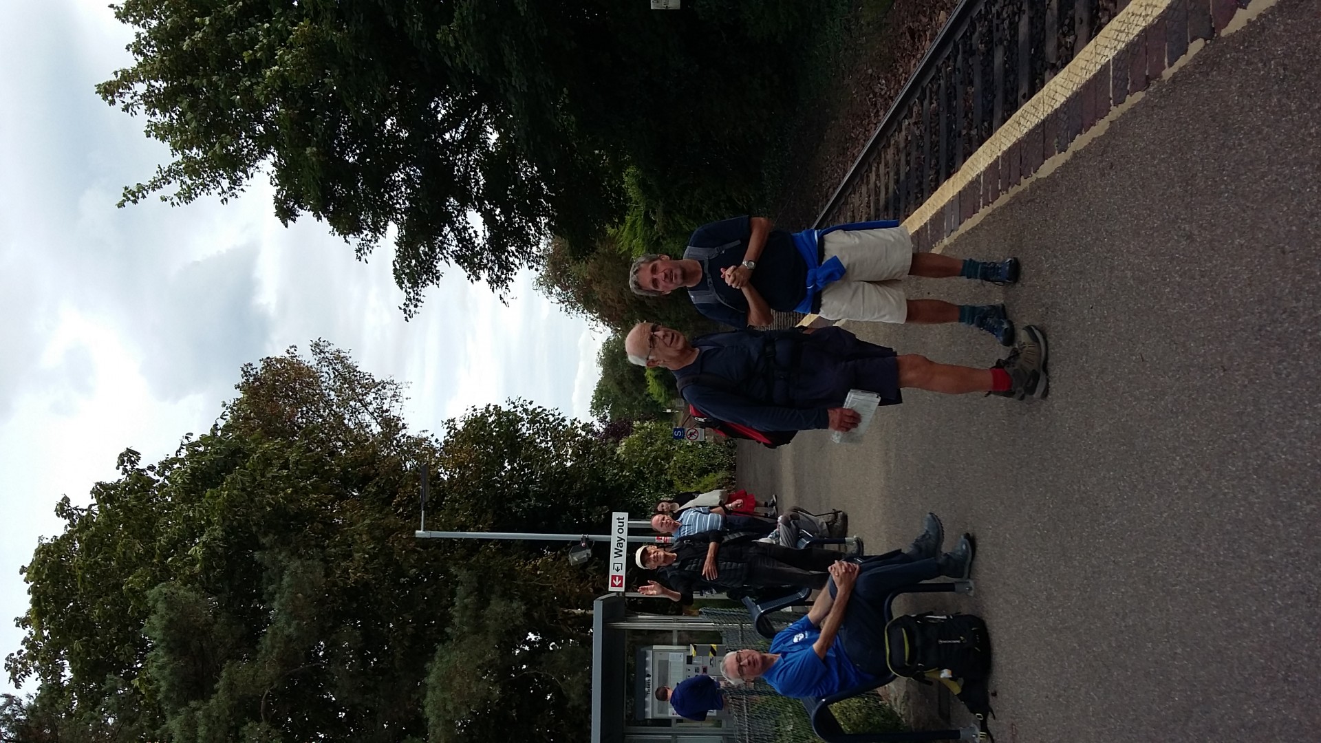
The Gainsborough Line Part 2, Friday 24th August 201810 walkers, 15 miles - leader Ron Williamson
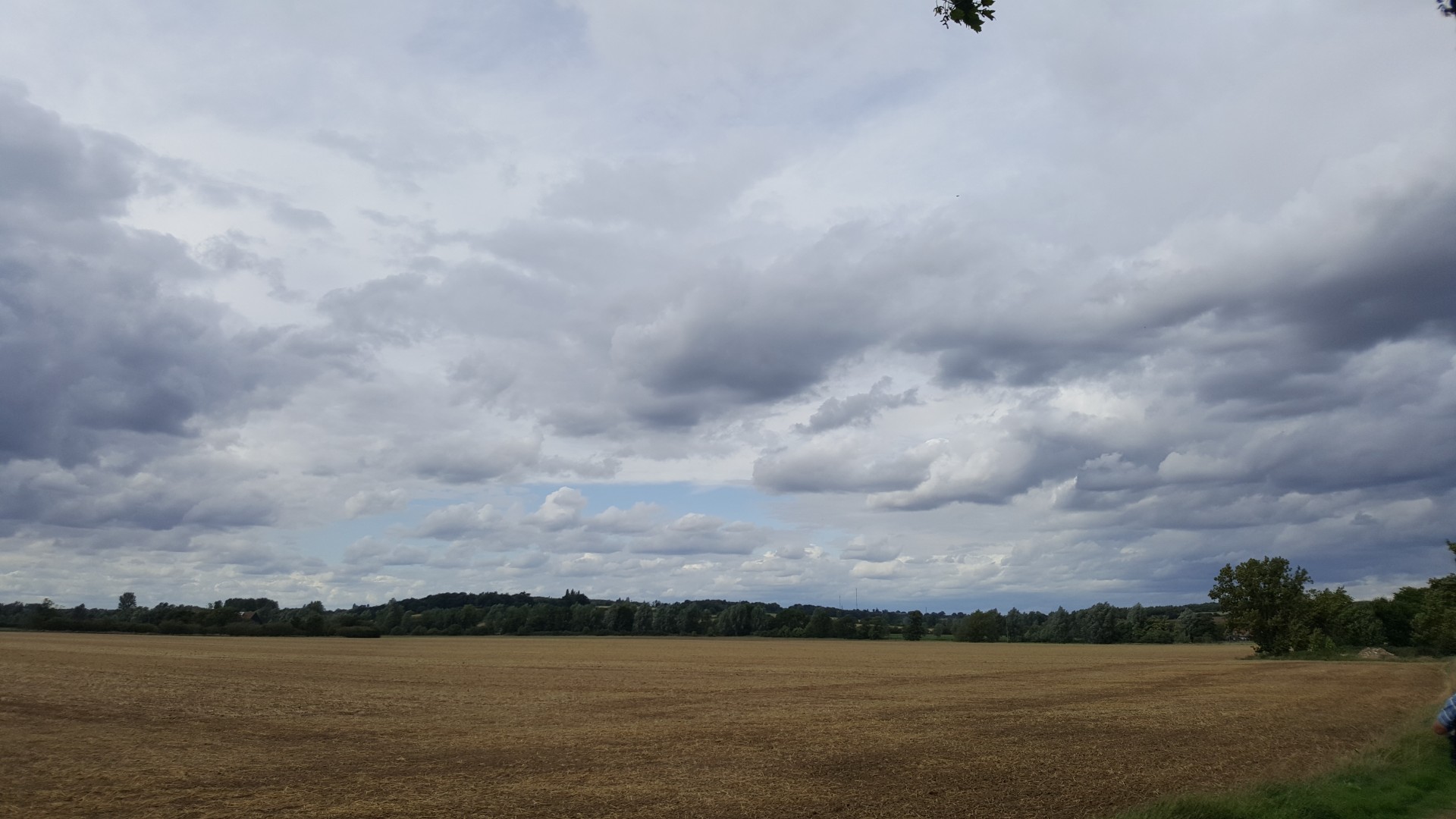
Today's adventure began at the large commuter village of Marks Tey some seven miles west of Colchester and the starting point for the single-track branch line to Sudbury. Our route meandered northwards to the water meadows of the Colne valley before crossing the watershed and exploring the rolling countryside bordering the western flank of the Stour valley, a landscape much favoured by Gainsborough and Constable.
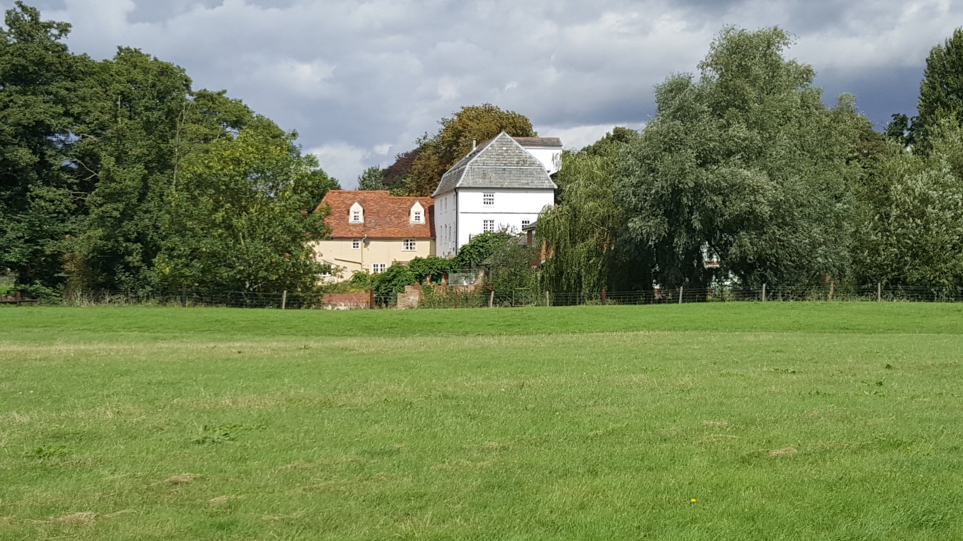
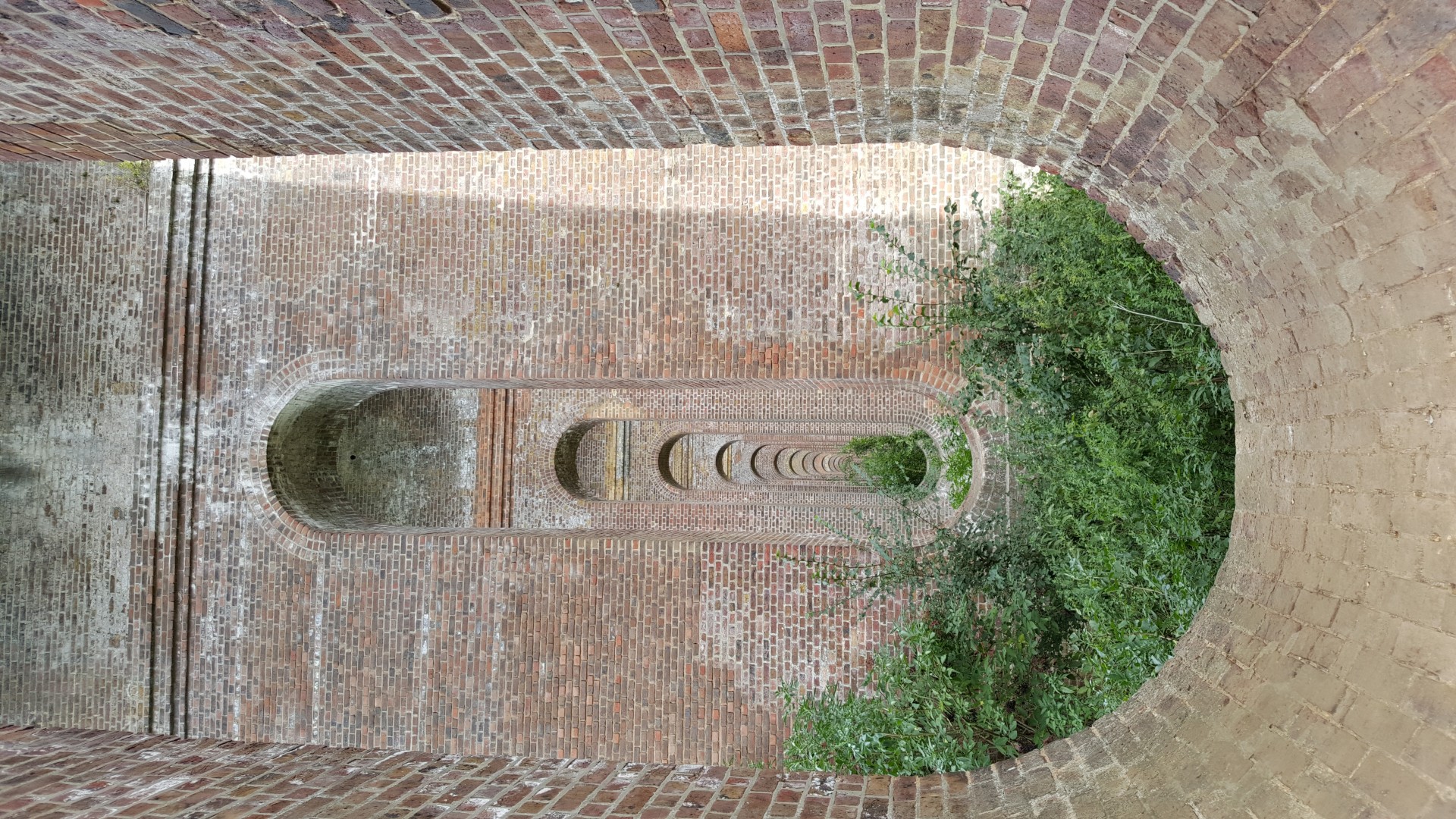
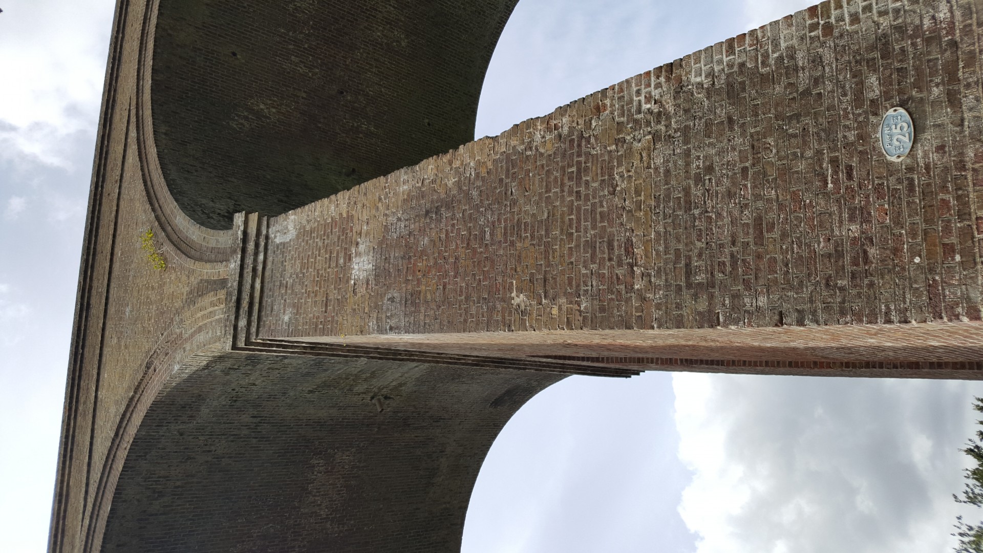
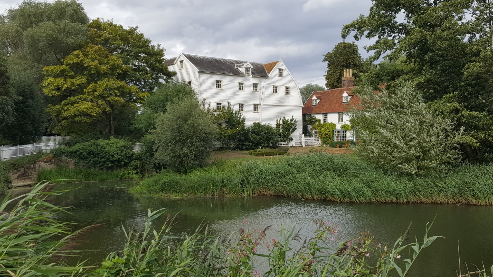
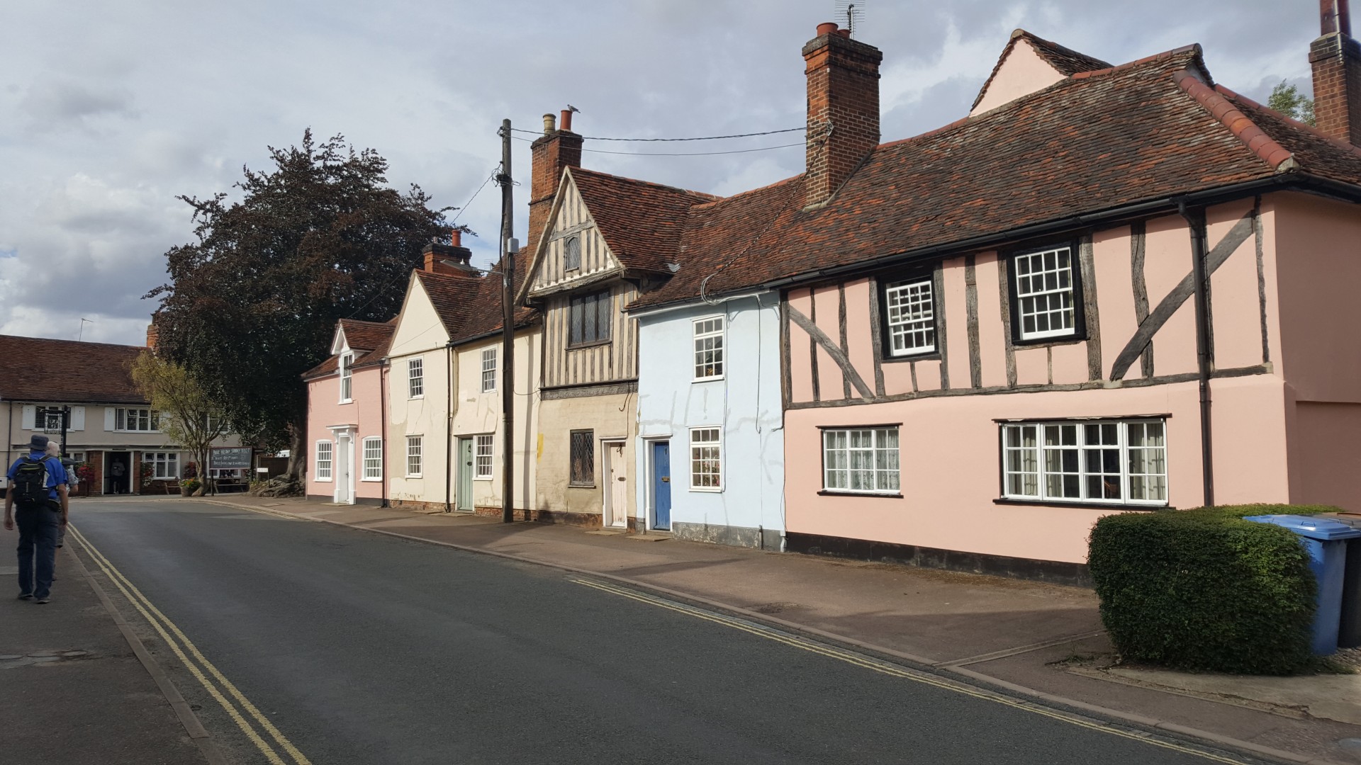
Our wanderings led us to, Great Tey with its 16th century pub and Norman church with a unique central tower, Chappel, a riverside village famous for its 1066ft long brick built rail viaduct, Fordham Hall estate 500 acres which thanks to an anonymous donation is now managed by the Woodland Trust as public access land and our destination of Bures a village on the river Stour half in Essex and half in Suffolk.
An area not usually visited by London LDWA but a great example of how diverse the county of Essex is and to quote from a knowledgeable member well worth the train fare even if the beer is expensive.
Photographs by Roderick Smith and Joelle Paul
Other Files
Download Walk ReportGallery


Maps:
You can use the interactive controls to zoom in and out and to move around the map, or click on a marker for more info. (interactive map help)
Contains Ordnance Survey data © Crown copyright and database right 2016.
© OpenStreetMap contributors under Open Database Licence.
Rights of way data from selected Local Authorities.
Large scale digital mapping is provided by John Thorn.
© OpenStreetMap contributors under Open Database Licence.
Rights of way data from selected Local Authorities.
Large scale digital mapping is provided by John Thorn.


