


Billingshurst Circular
Sat 30th Mar 2019
Walk Details:
South east from Billingshurst to Pulborough through fields, woods and vineyards including a stretch on the West Sussex Literary Trail then across to the west of the river and back through fields, woods and river banks
Entry Details:
Walk Report
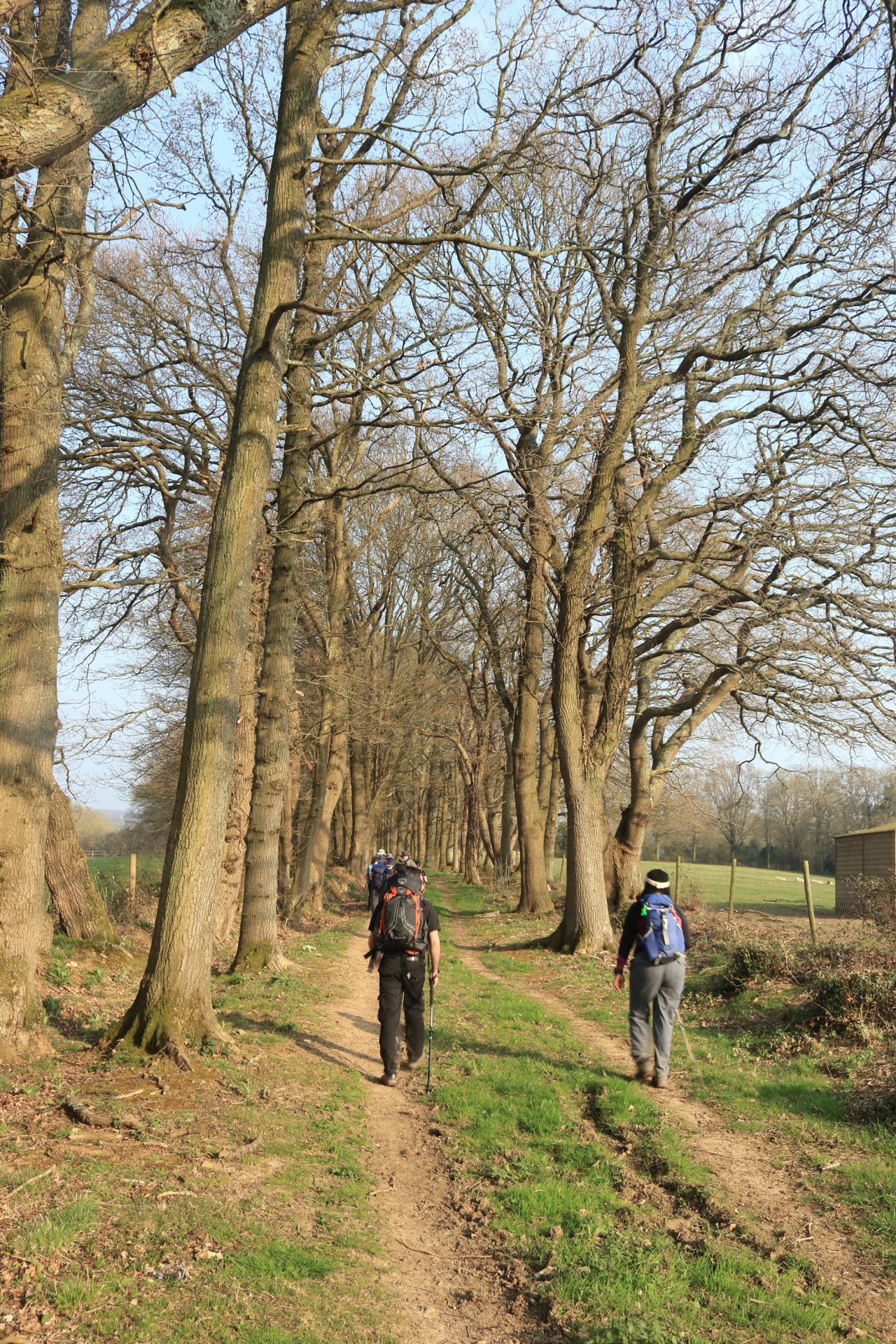
Billingshurst Circular, Saturday 30th March 201919 walkers, 21.4 miles â leader Lonica Vanclay
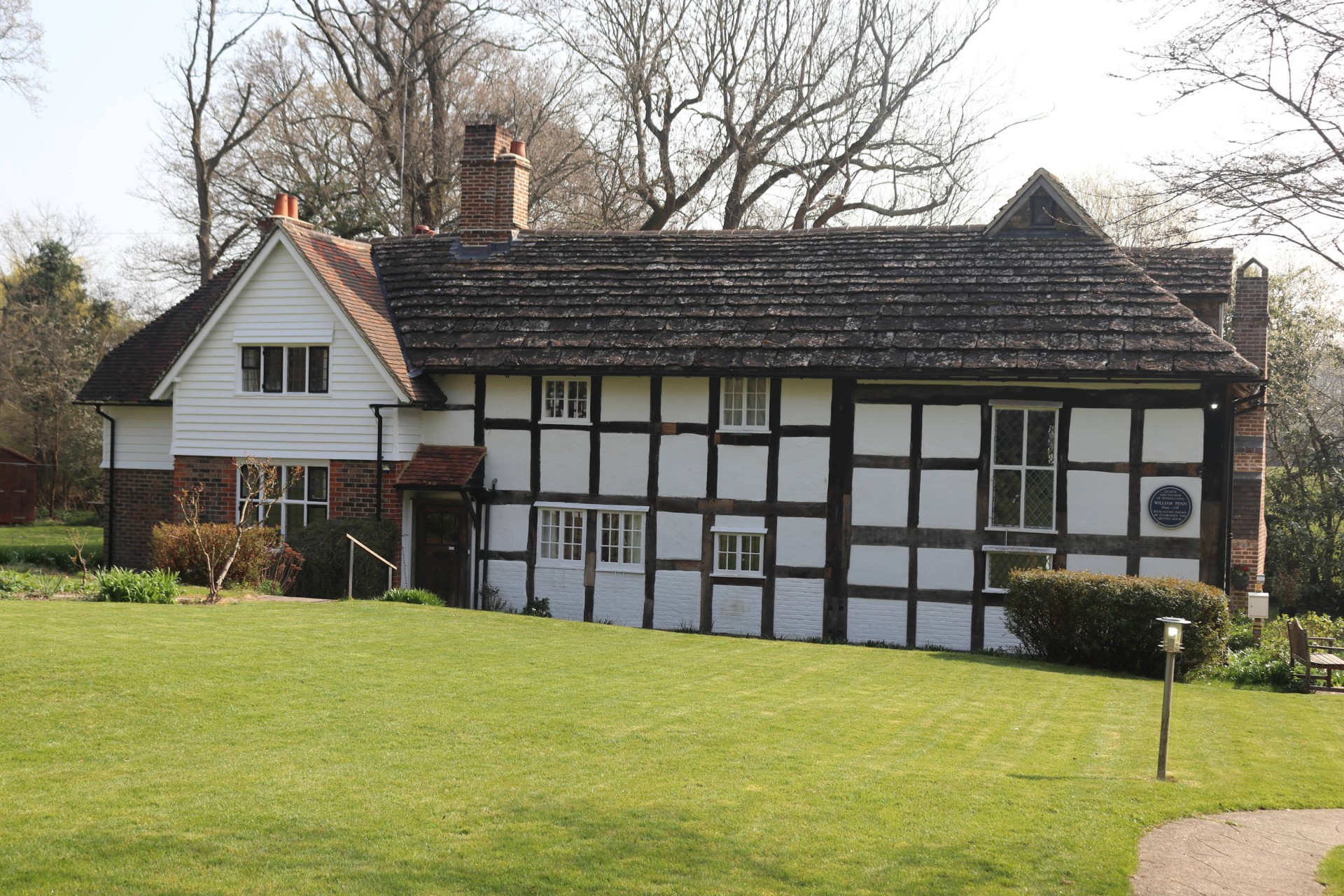
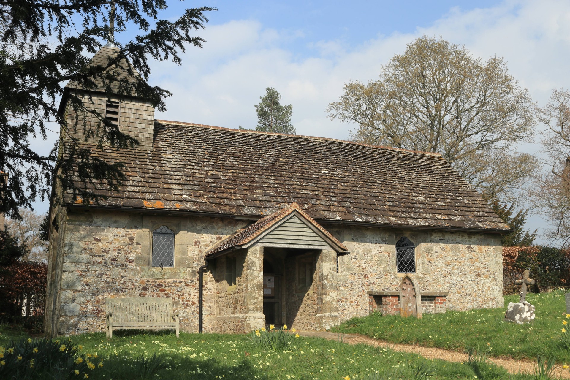
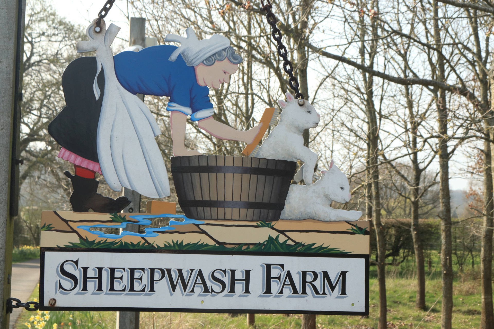
Fabulous sunny spring weather with the flowers, blossoms and even some fresh green leaf shoots out in their full glory. 18 walkers joined me for a 21 mile walk from Billingshurst through fields, woods, heathlands and river meadows and even a vineyard. Some beautiful timbered old houses en route ... and cows, horses, alpacas and a deer ... and even some decent mud. Just one short sharp hill and a few gentle rises giving great views of the South Downs and the Weald the other side. A quintessential English spring dayâs walk. Some of us raced to catch the train so not even a wait for that; others finished the day with a tipple in the very busy pub.
Photographs by Gavin Fuller; more photos by Gavin on the group Facebook site
Other Files
Download Walk ReportGPX
A GPX file of the above route may be downloaded by clicking the link below.
Note: GPX files of Group Walks are created by LDWA Group members, and may be downloaded only by other LDWA members. They should not be made available outside the LDWA, and are used at members' own risk.
Login to Download (Members Only)You can use the interactive controls to zoom in and out and to move around the map, or click on a path or a marker for more info. (interactive map help)
You can use the interactive controls to zoom in and out and to move around the map, or click on a path or a marker for more info. (interactive map help)
© OpenStreetMap contributors under Open Database Licence
Rights of way data from selected Local Authorities
Large scale digital mapping is provided by John Thorn
At high zoom levels the route is indicative only.
Gallery

Maps:
You can use the interactive controls to zoom in and out and to move around the map, or click on a marker for more info. (interactive map help)
© OpenStreetMap contributors under Open Database Licence.
Rights of way data from selected Local Authorities.
Large scale digital mapping is provided by John Thorn.


