
Nick's 75th
Sun 30th Sep 2018
Walk Details:
Event Type
Group Walk
Region
Southern England
Local Group
Thames Valley
Distance
c19ml.
Start Time
09.00
Route
Goring (Wheel Orchard) c.p. or arrive by train and join walk at station: please contact leader to confirm rendezvous
General Notes
Optional pub at end of walk
Web Site
Start and Finish
Entry Details:
Cost
Walk Report
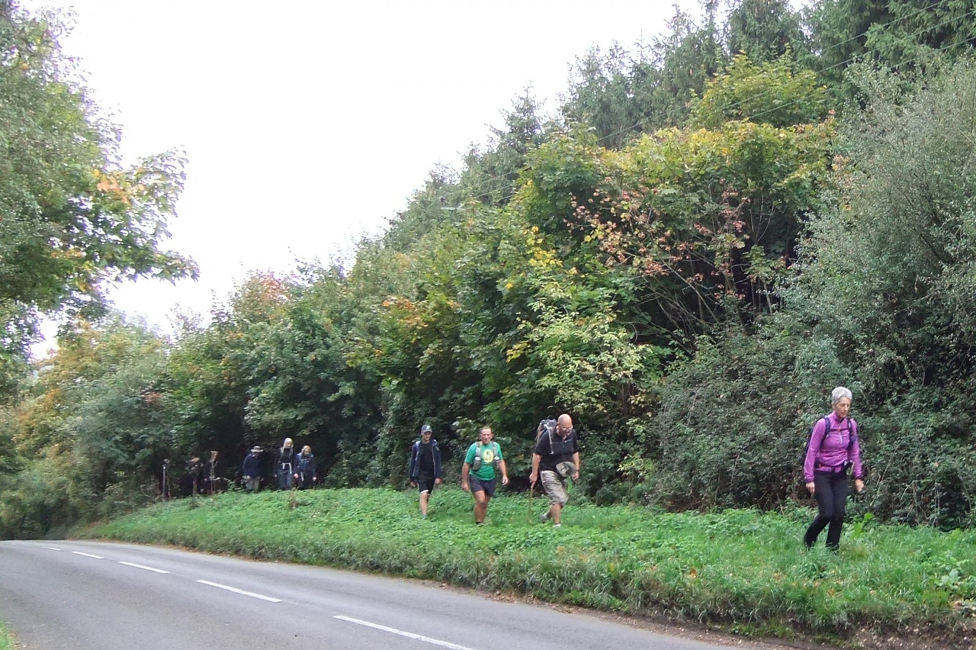
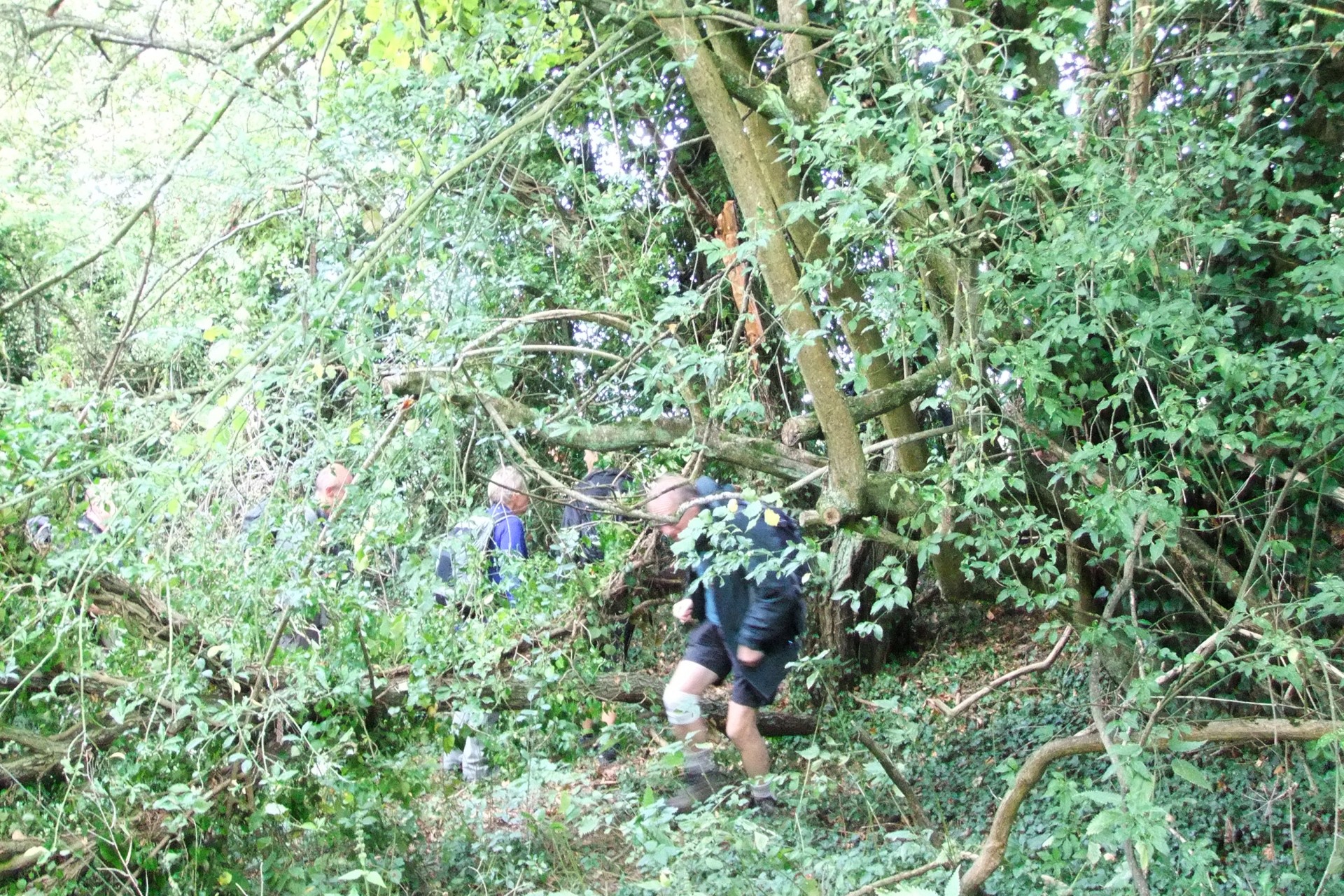
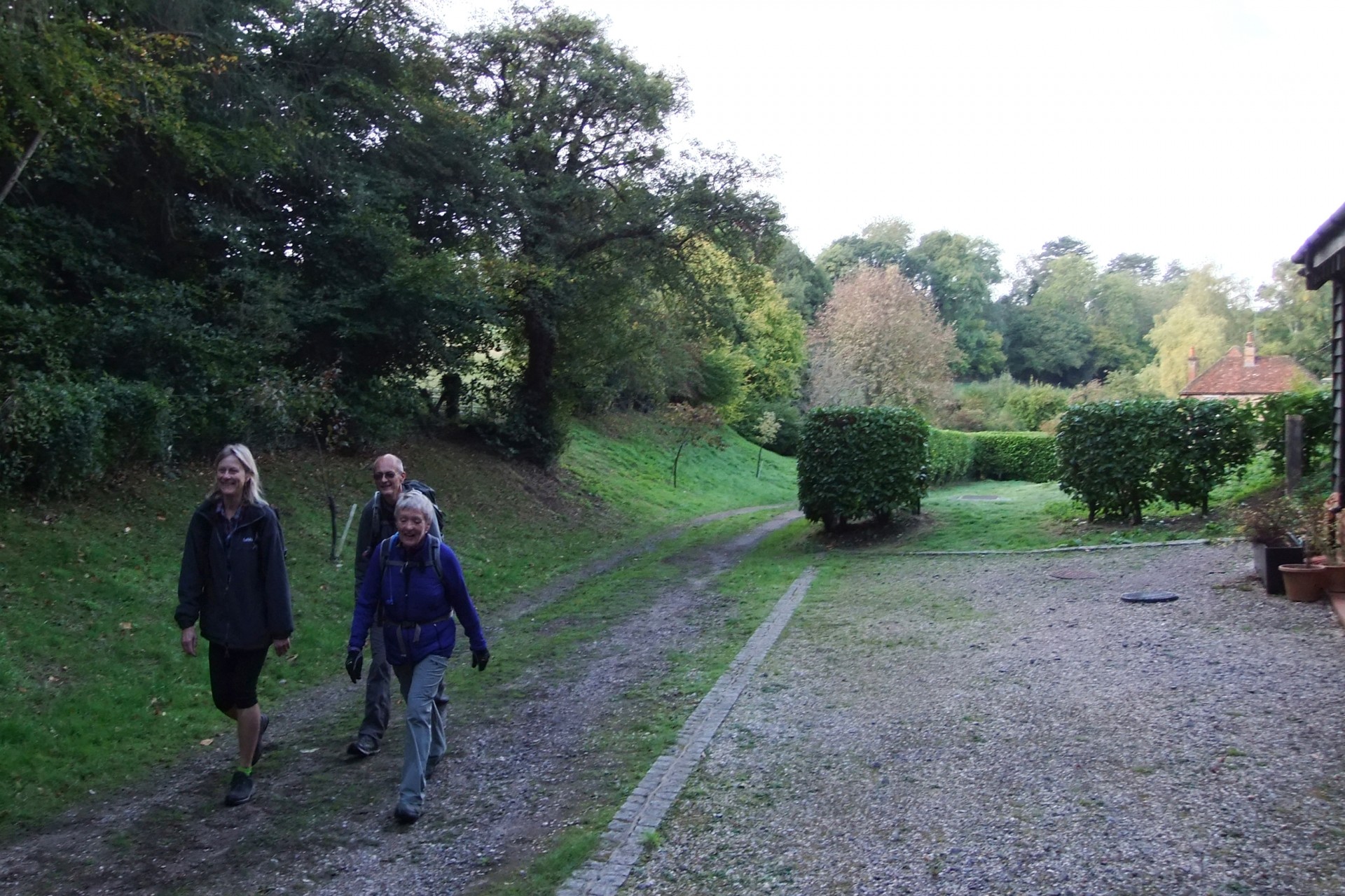
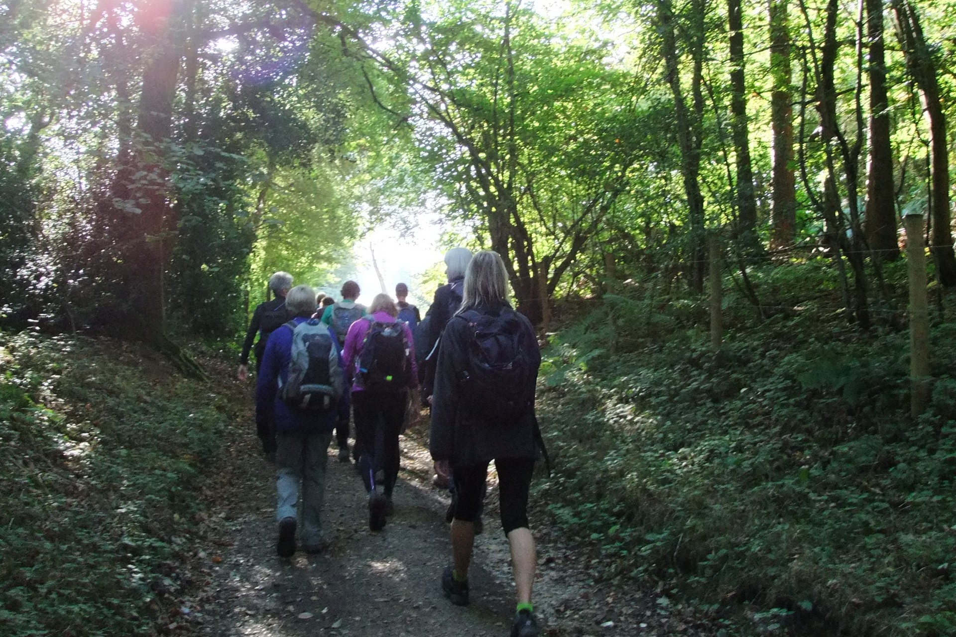
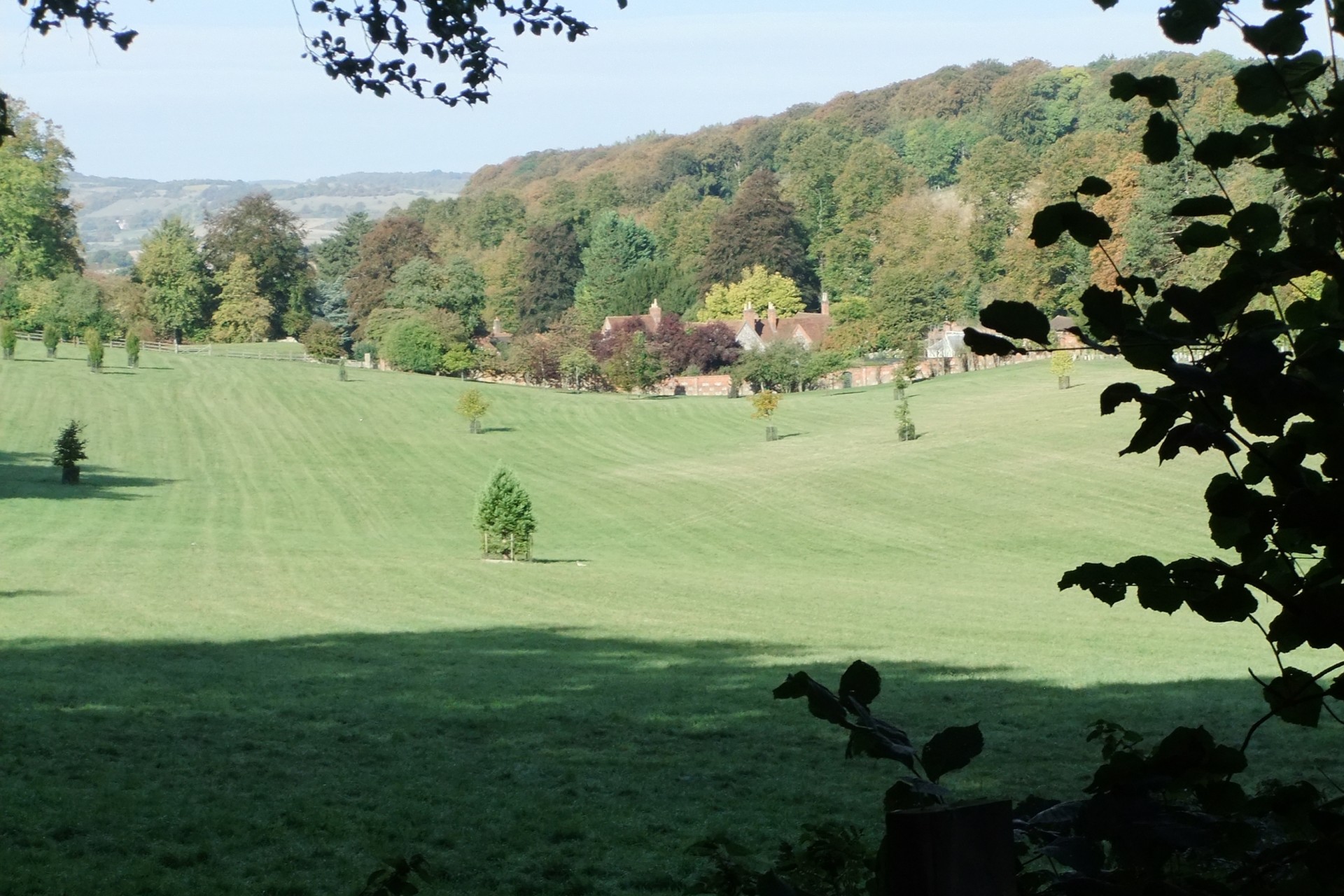
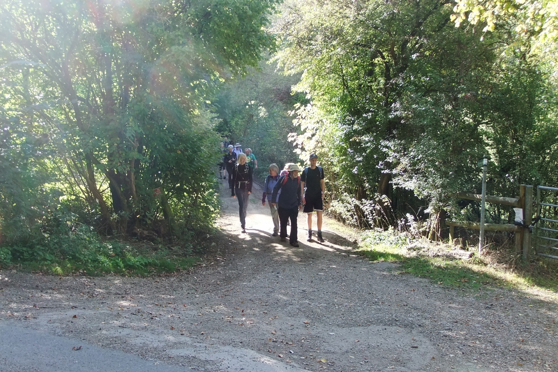
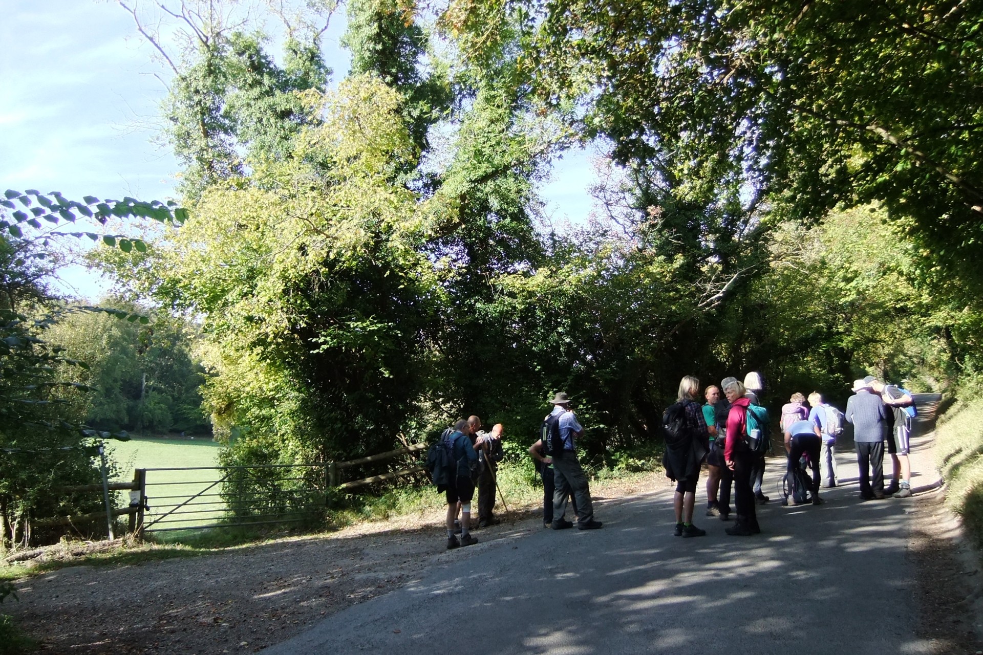
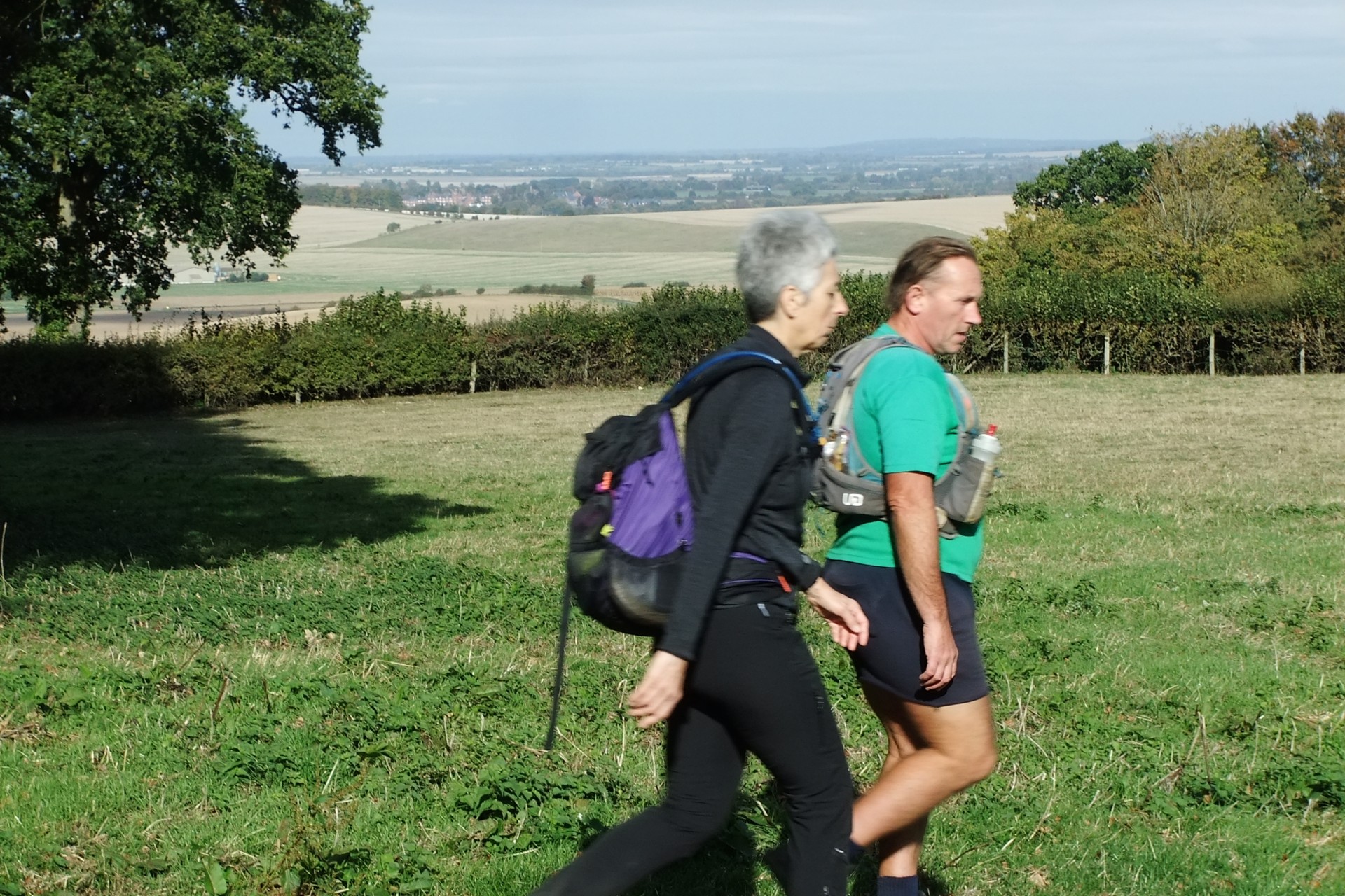
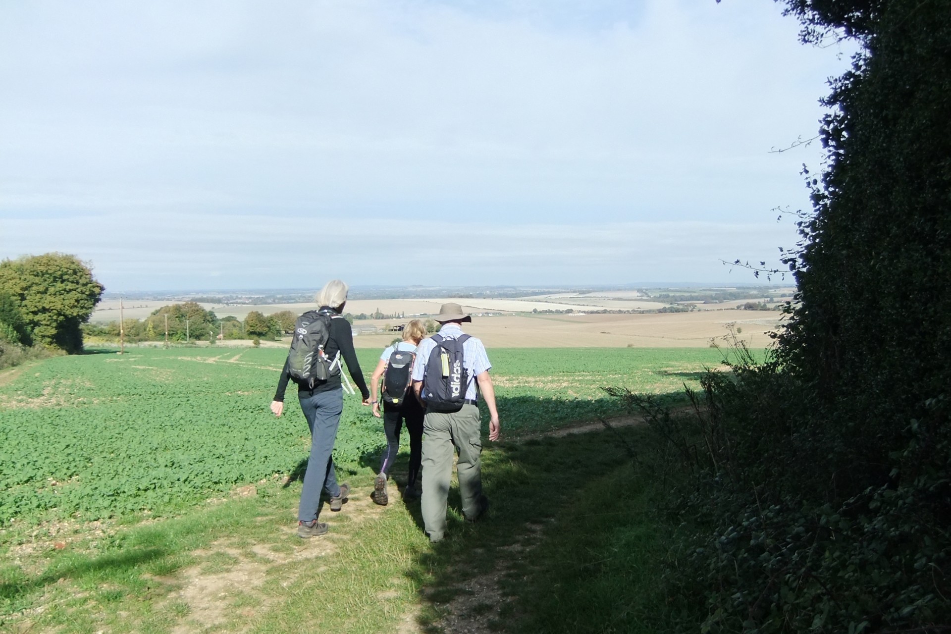
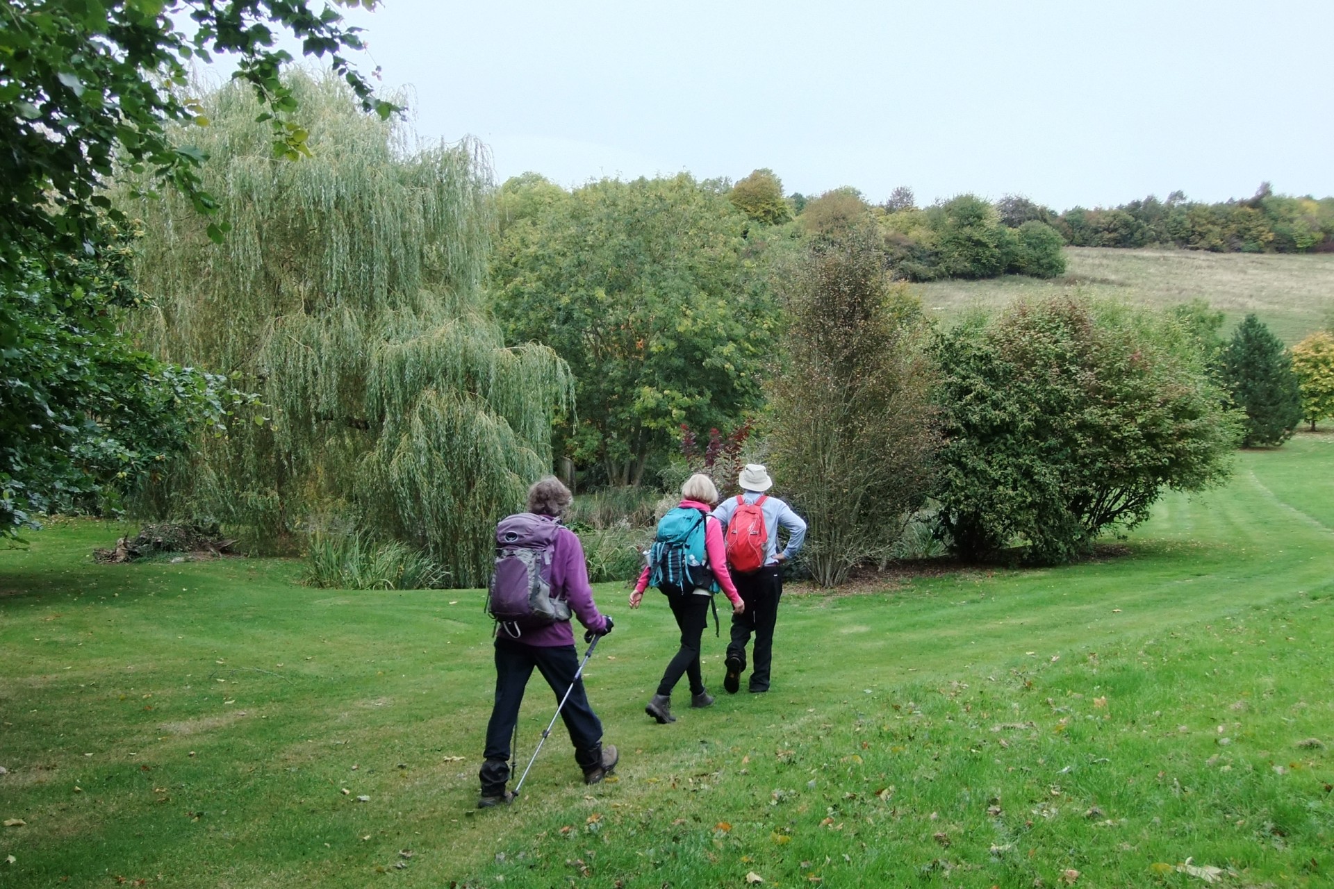
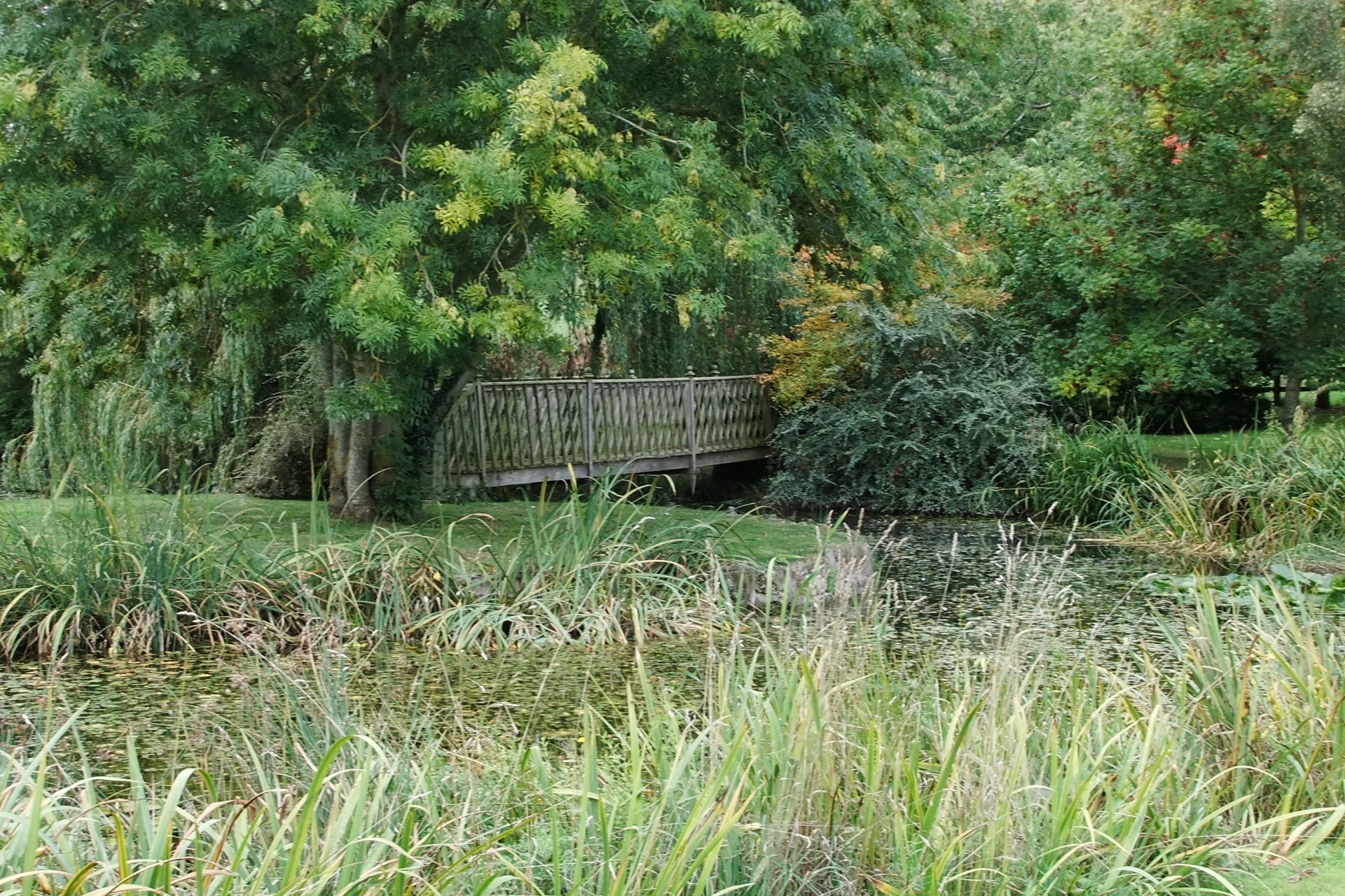
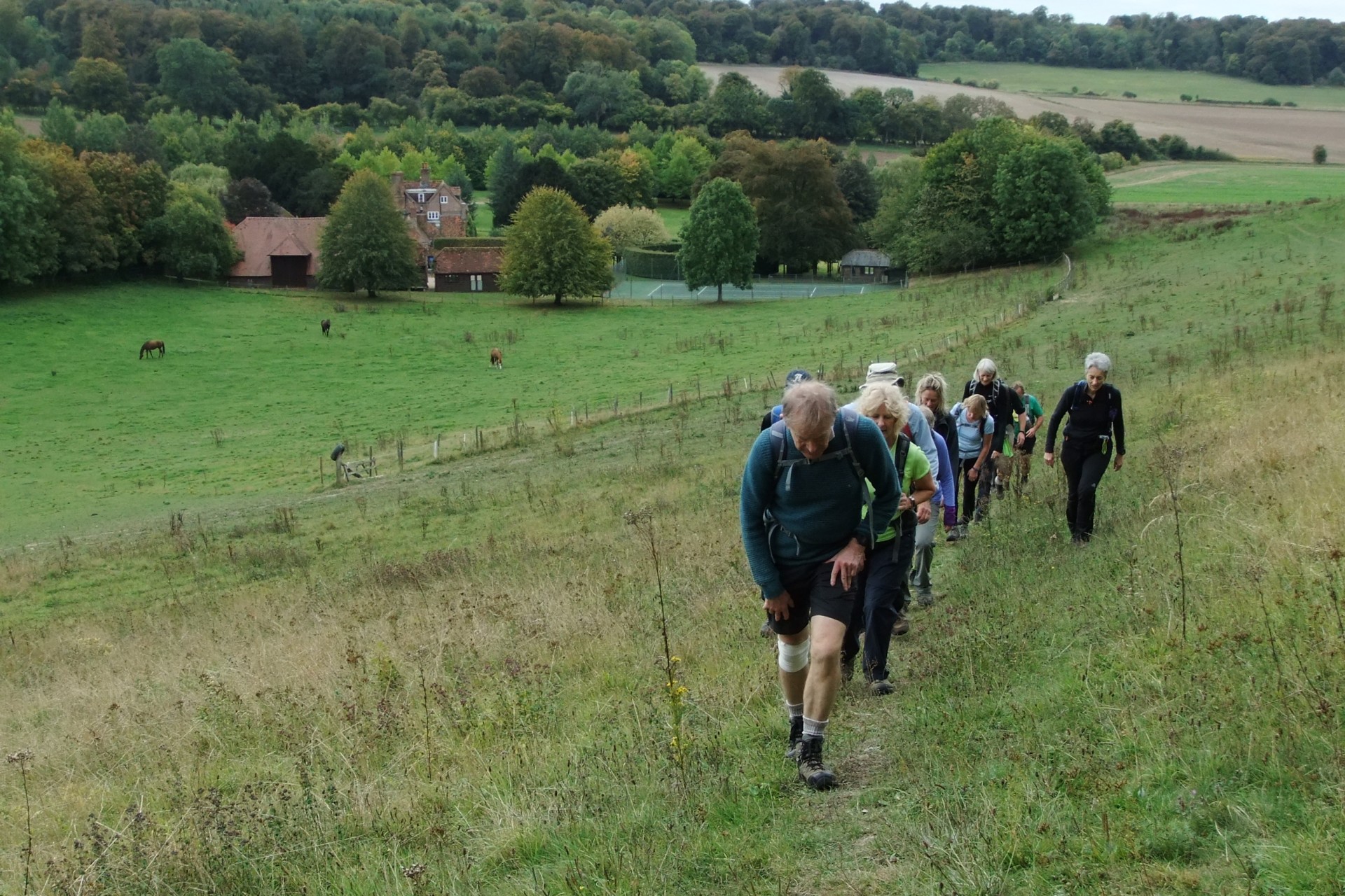
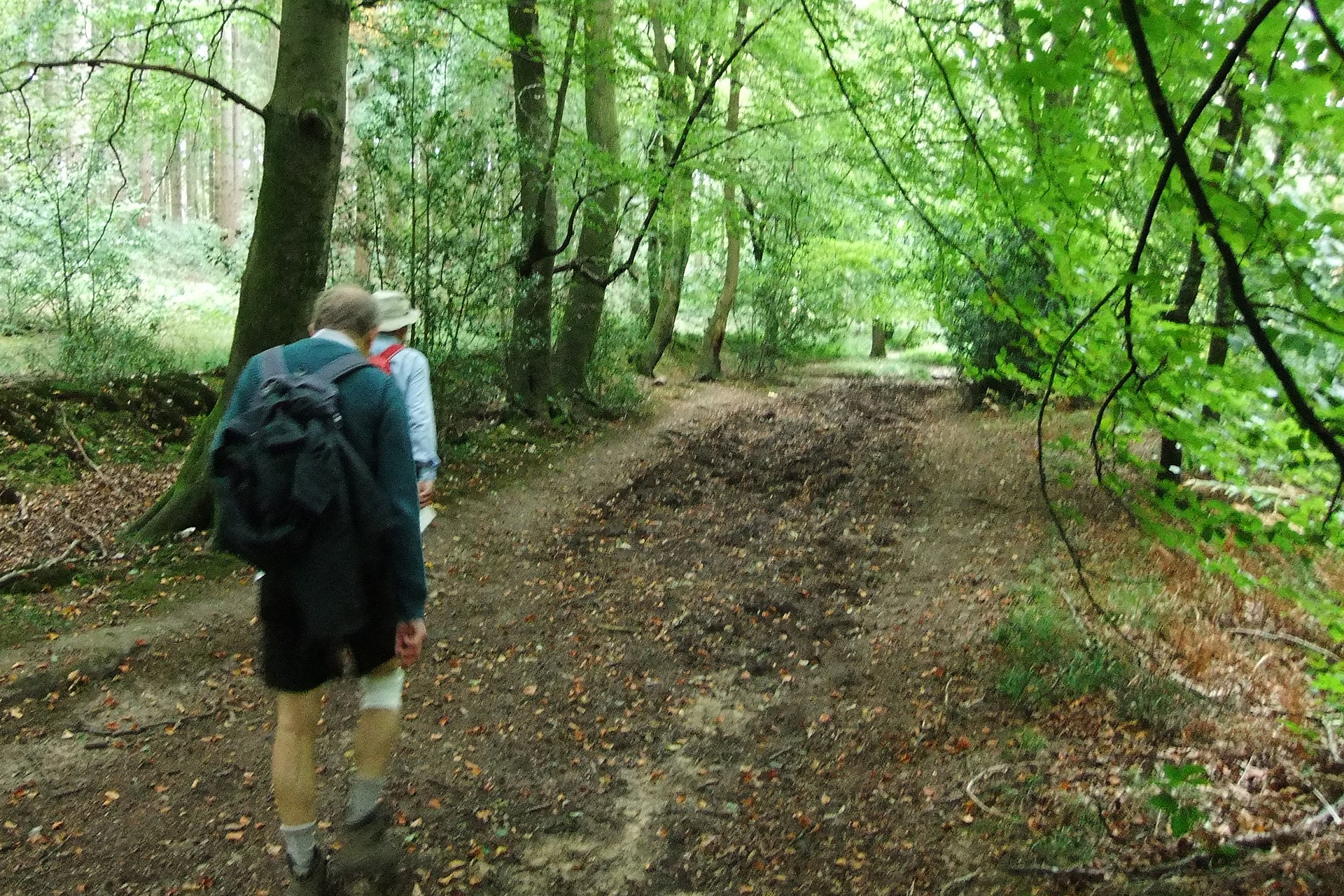
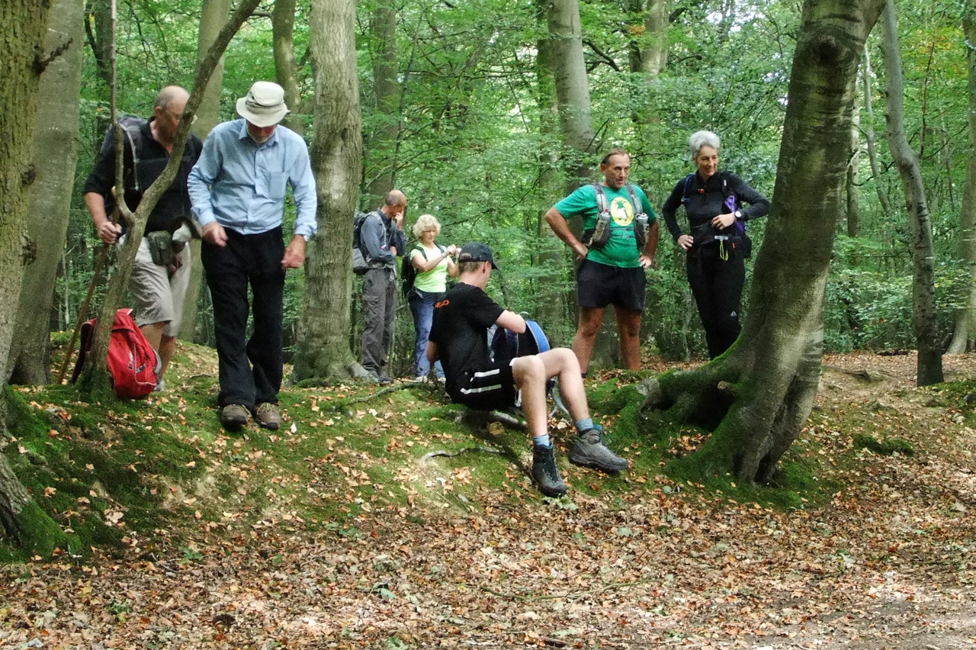
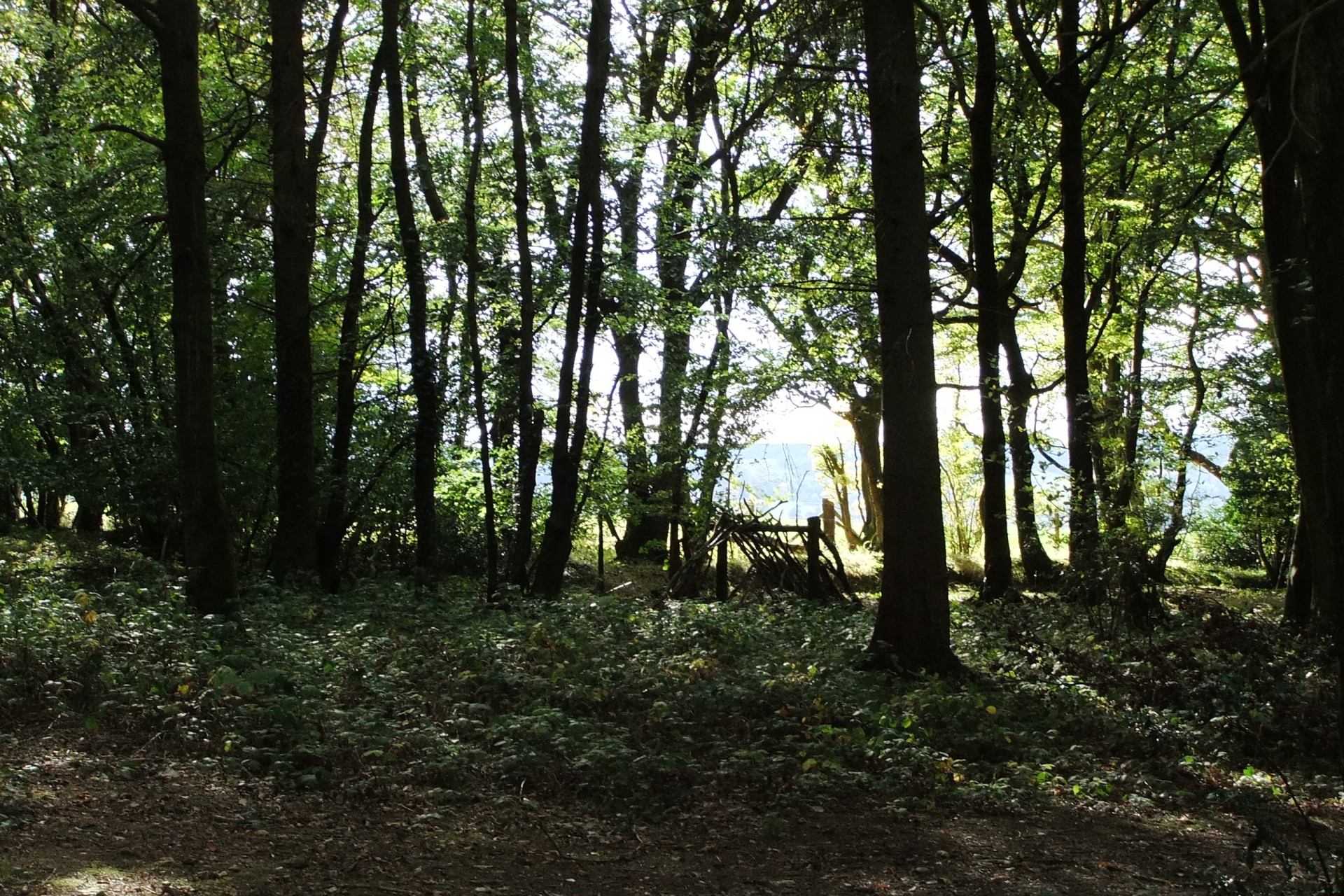
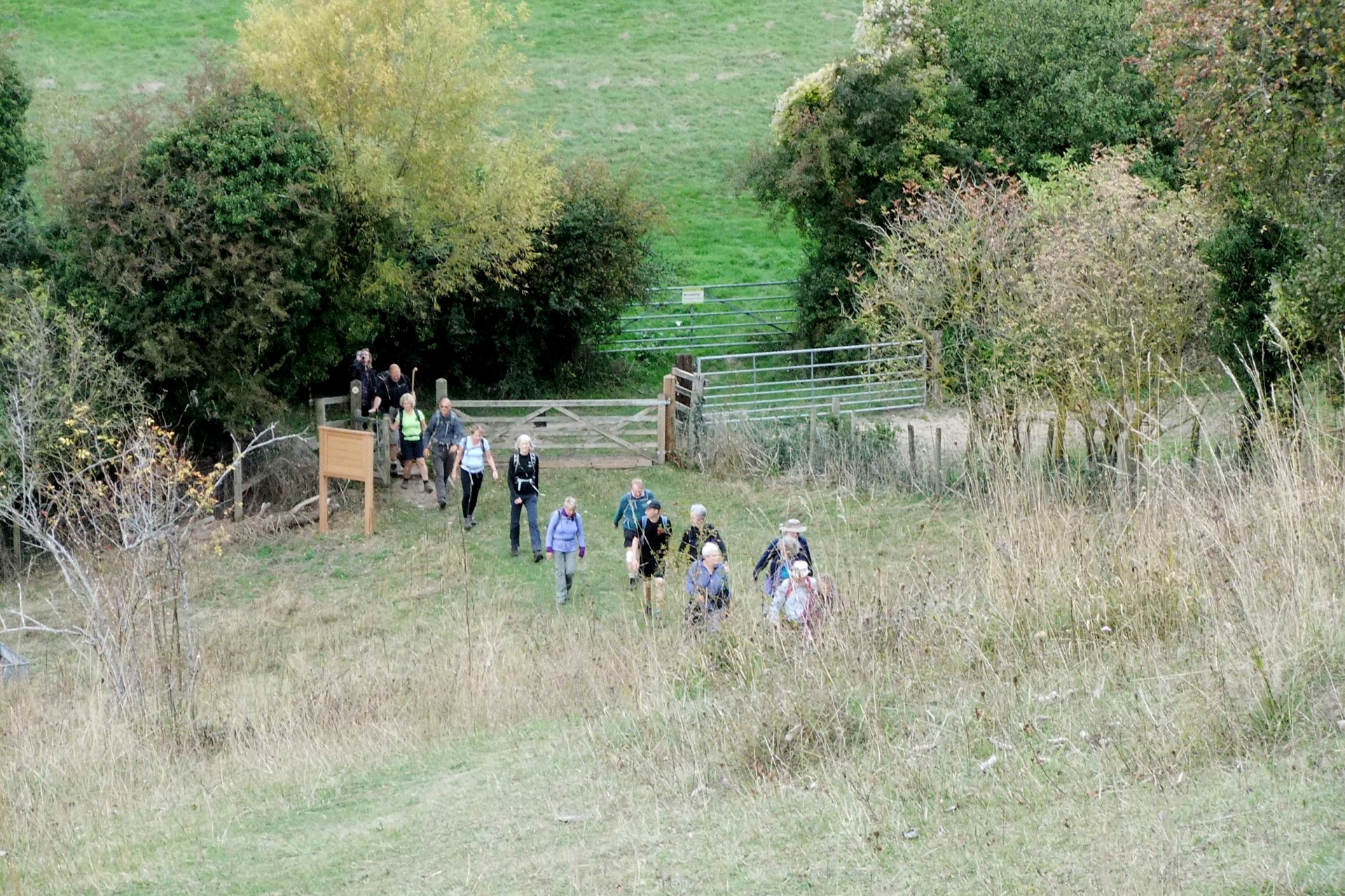
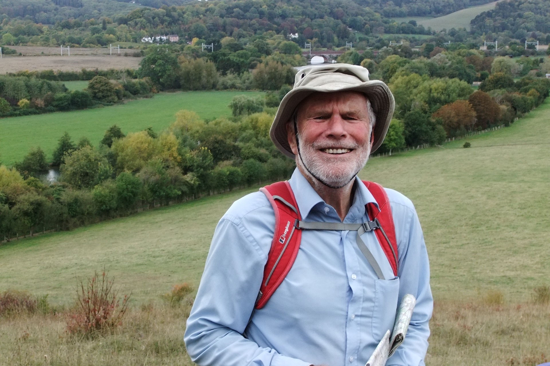
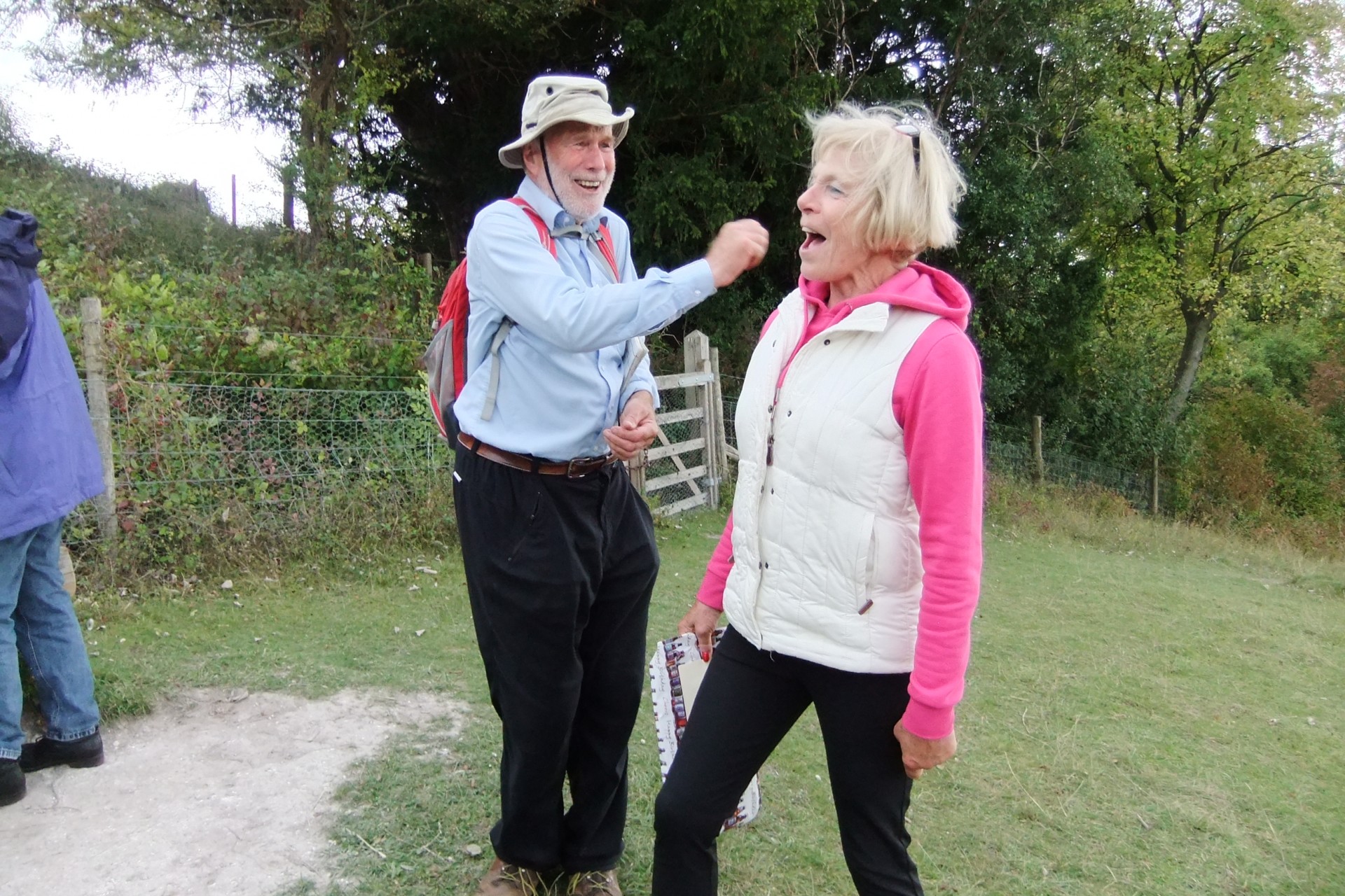
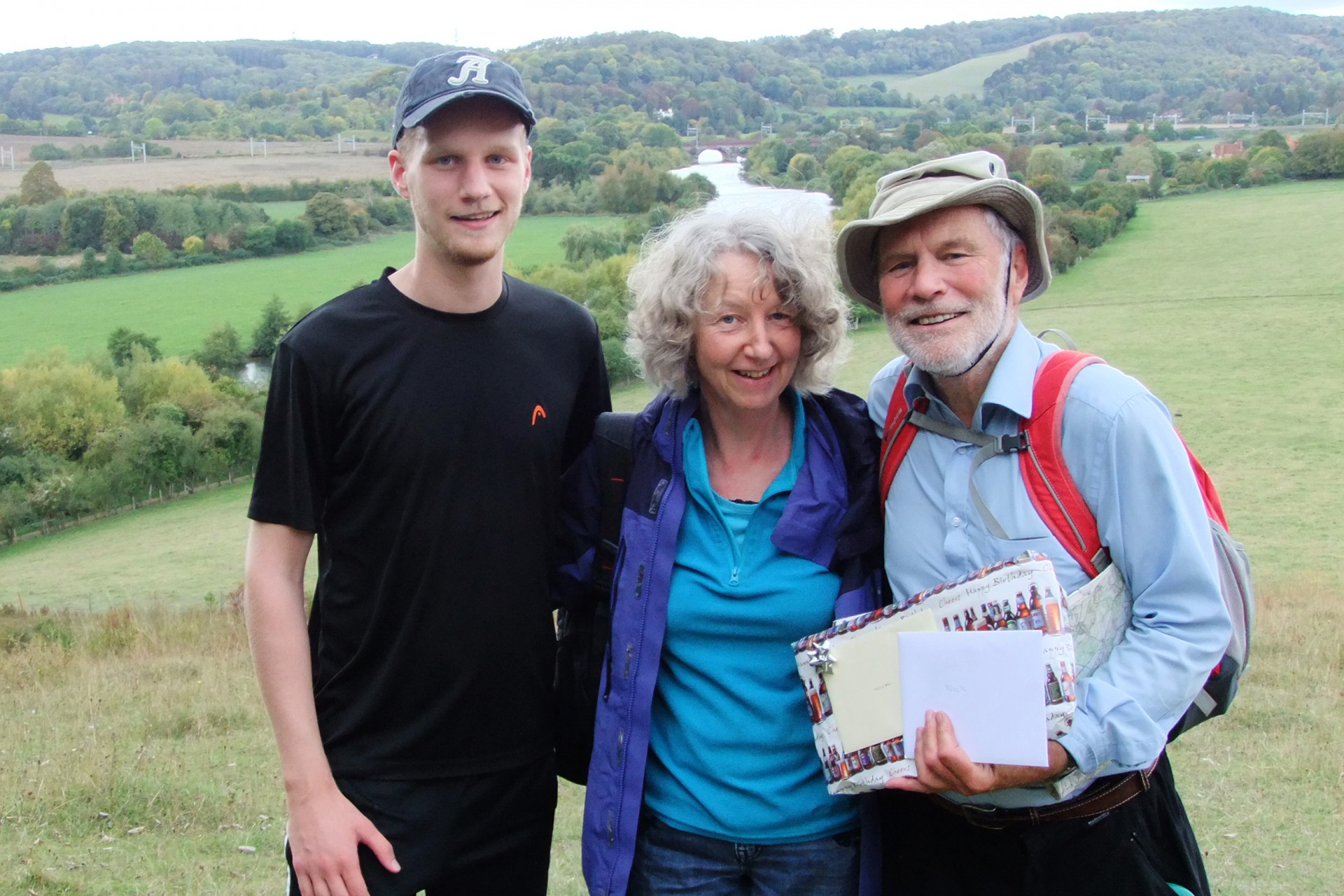
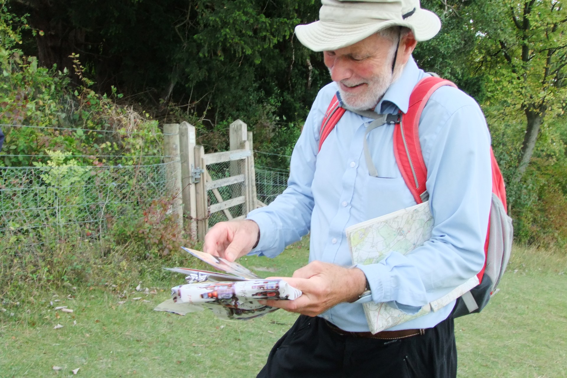
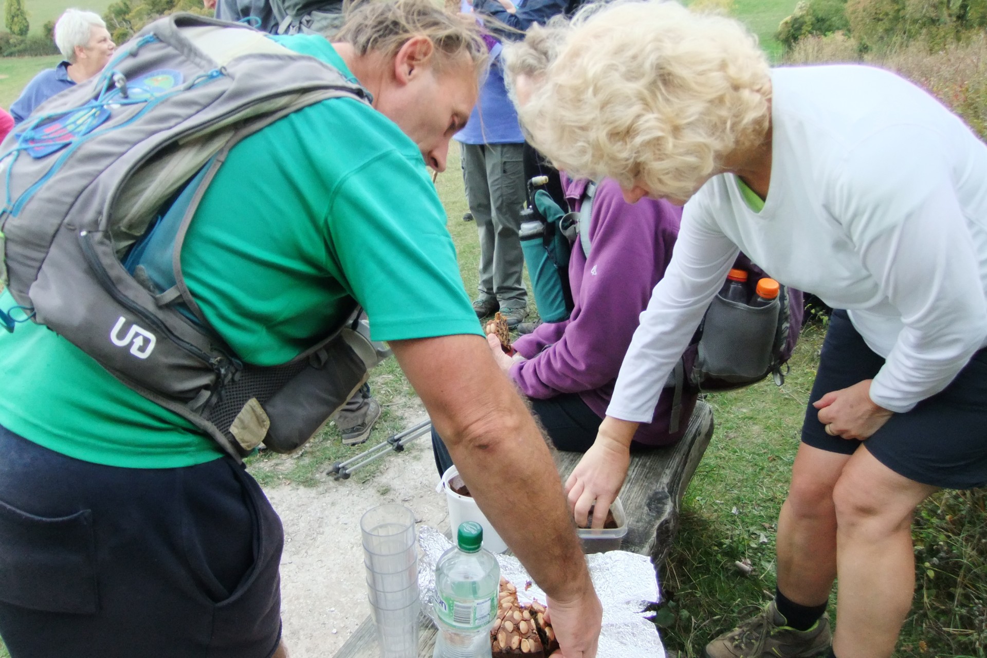
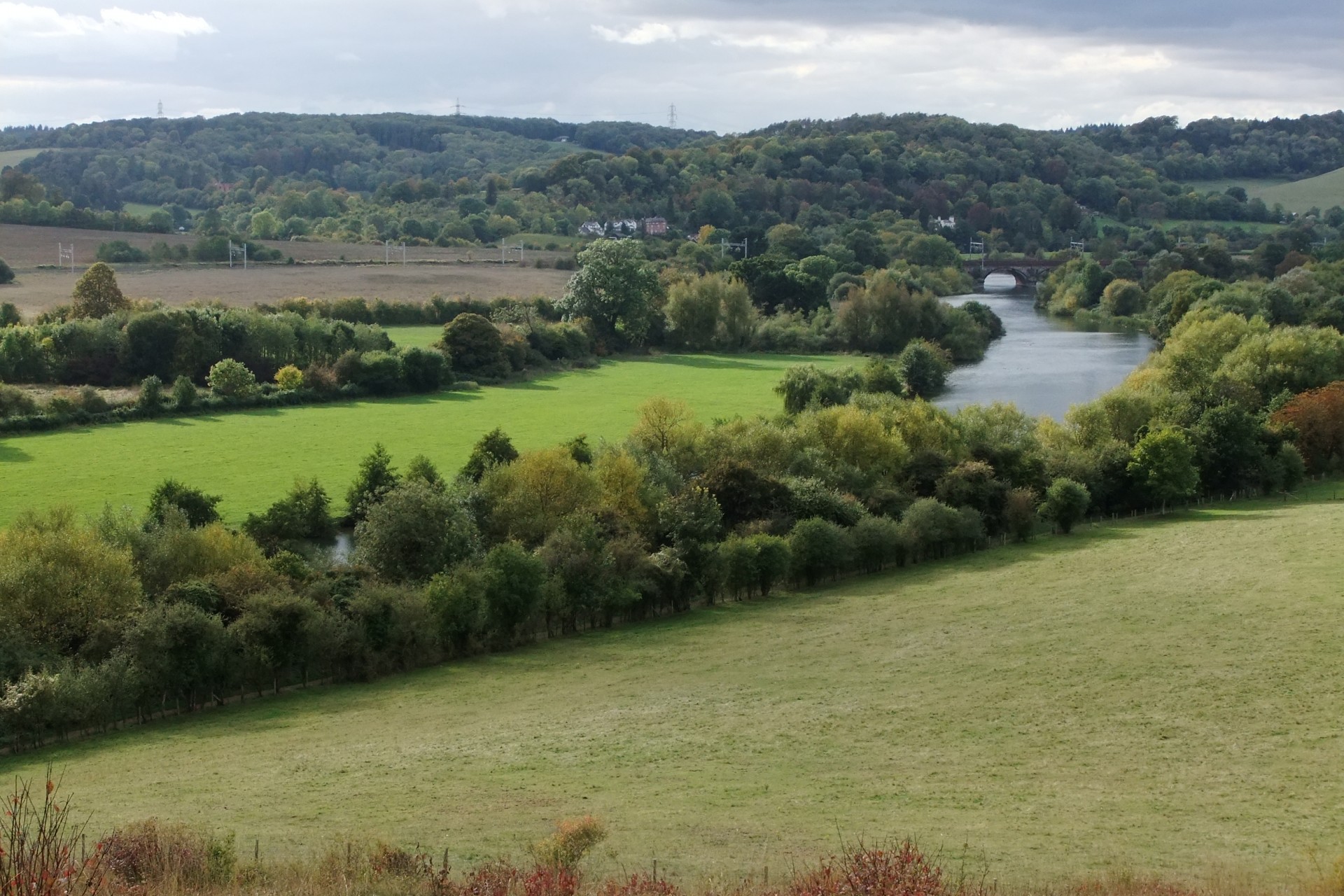
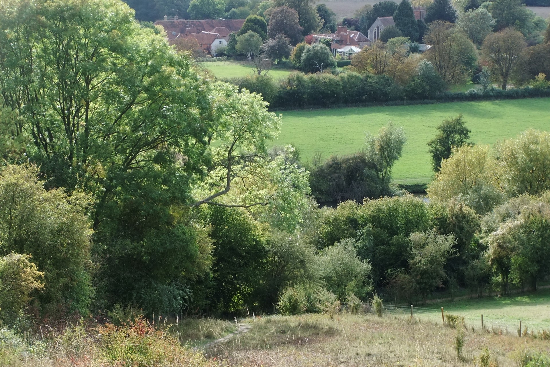
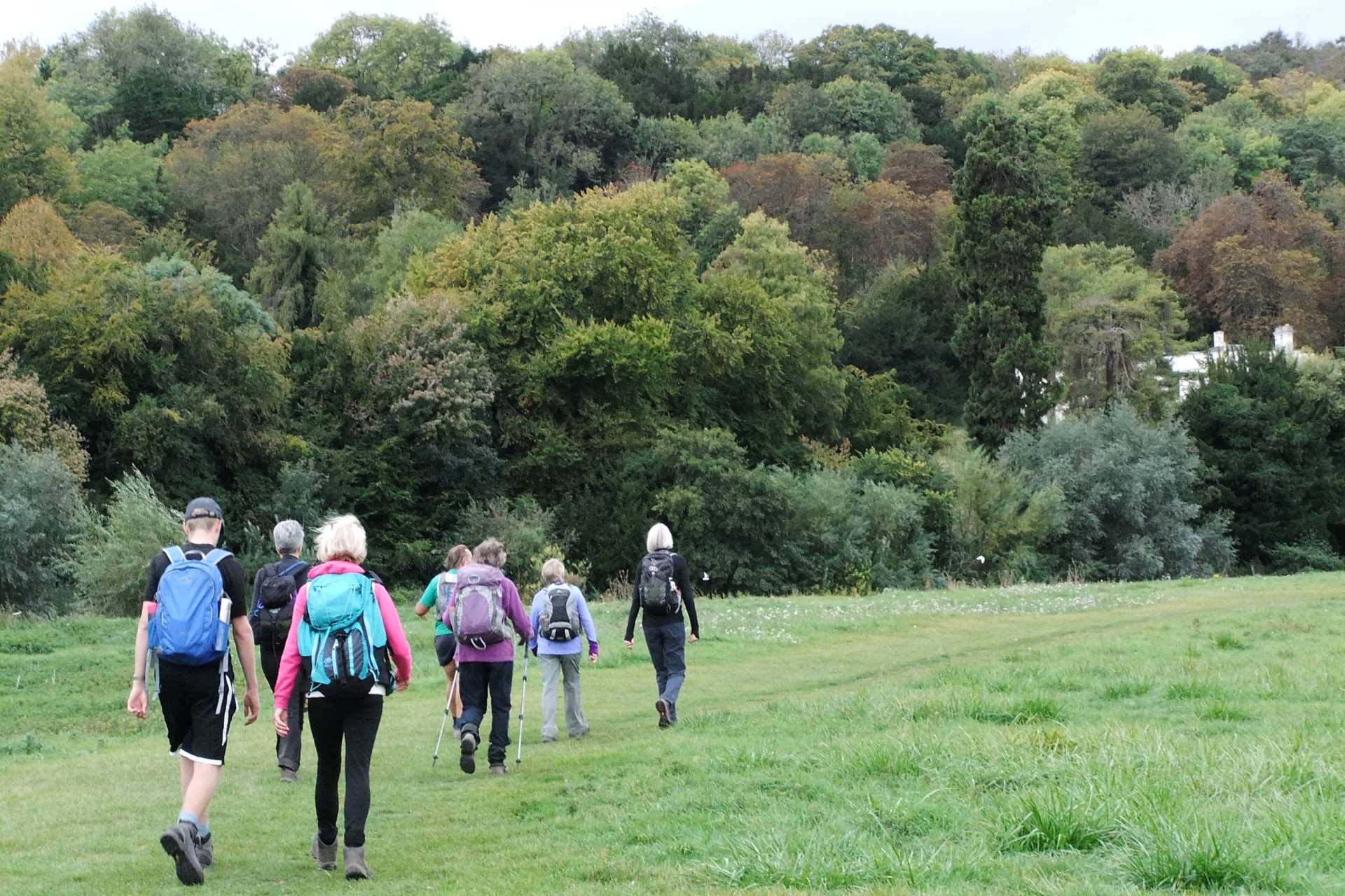
Nick's 75th Walk was an AAA walk, (an Autumnal Anniversary Amble in this case), just a few days after the occasion itself. It was celebrated in style with a home-baked cake brought by Nick's wife to the afternoon stop at the BBOWT nature reserve viewpoint south of Goring, with a "surprise" presentation. Adding to the family event, Nick's son joined us for the whole walk.The route was 20 miles from Goring village car park, featuring sections of the Chiltern Way Extension out and back, and long stretches of woodland. The route looped out via the Great Chalk Wood avoiding the new surprisingly robust fence with barbed wire now restricting the established path up from Sheepcot Field (it may be an unintended consequence if large groups detour through the burial ground). After joining the Chiltern Way Extension at Beech Lane, the views opened up and the group had its morning stop looking down from the edge of Dean Wood near Woodcote. Still, mostly on the Chiltern Way Extension the route led to Bottom Farm and John's Gate before heading east to Judges Road in unusually dry conditions, and Wyfold Wood for the lunch stop. The return route was via Cane End, Nuney Green and Whitchurch Hill, later with another short section of the Great Chalk Wood. Only two miles were left after the afternoon stop at BBOWT, and the group speeded up and spread out making its way back in cooling conditions but probably fuelled by the cake too.
Text and photos by Helen Abbott.
Other Files
GPX
A GPX file of the above route may be downloaded by clicking the link below.
Note: GPX files of Group Walks are created by LDWA Group members, and may be downloaded only by other LDWA members. They should not be made available outside the LDWA, and are used at members' own risk.
Login to Download (Members Only)You can use the interactive controls to zoom in and out and to move around the map, or click on a path or a marker for more info. (interactive map help)
You can use the interactive controls to zoom in and out and to move around the map, or click on a path or a marker for more info. (interactive map help)
Contains Ordnance Survey data © Crown copyright and database right 2016.
© OpenStreetMap contributors under Open Database Licence
Rights of way data from selected Local Authorities
Large scale digital mapping is provided by John Thorn
At high zoom levels the route is indicative only.
© OpenStreetMap contributors under Open Database Licence
Rights of way data from selected Local Authorities
Large scale digital mapping is provided by John Thorn
At high zoom levels the route is indicative only.
Gallery
Maps:
You can use the interactive controls to zoom in and out and to move around the map, or click on a marker for more info. (interactive map help)
Contains Ordnance Survey data © Crown copyright and database right 2016.
© OpenStreetMap contributors under Open Database Licence.
Rights of way data from selected Local Authorities.
Large scale digital mapping is provided by John Thorn.
© OpenStreetMap contributors under Open Database Licence.
Rights of way data from selected Local Authorities.
Large scale digital mapping is provided by John Thorn.


