


!!! POPUP !!! RESCHEDULED from 1/3 N'wood Hills- Rick'worth
Tue 13th Mar 2018
Walk Details:
Event Details Updated
Update 2/3/18
This walk has been re-scheduled from Thu 1 March
NOTE: arrangements for this walk are as shown in these details and are confirmed now
Event Type
Group Walk
Region
Southern England
Local Group
London
Distance
11ml.
Start Time
10.25
Route
Meet Northwood Hills station ticket office (Met. line). Watford or Amersham train from Aldgate Station 09.39, Baker Street 09.50 arr. Northwood Hills Station 10.25,. Finish Rickmansworth
The walk follows the Hillingdon Trail and then the Grand Union Canal and lakes as far as Rickmansworth
General Notes
NOTES:
* This is day 2 of two-day walk to Rickmansworth (day 1 on 22 Feb).
* Could be muddy in places.
* Bring own lunch or alternatively snacks and late lunch at finish.
* Finish at Pennsylvanian (Wetherspoons)
Web Site
Start
Finish
Entry Details:
Cost
Walk Report
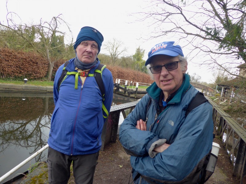
Northwood Hills to Rickmansworth Part 2, Tuesday 13th March 20184 walkers, 11 miles - leader Godfrey O'Callaghan
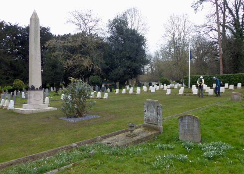
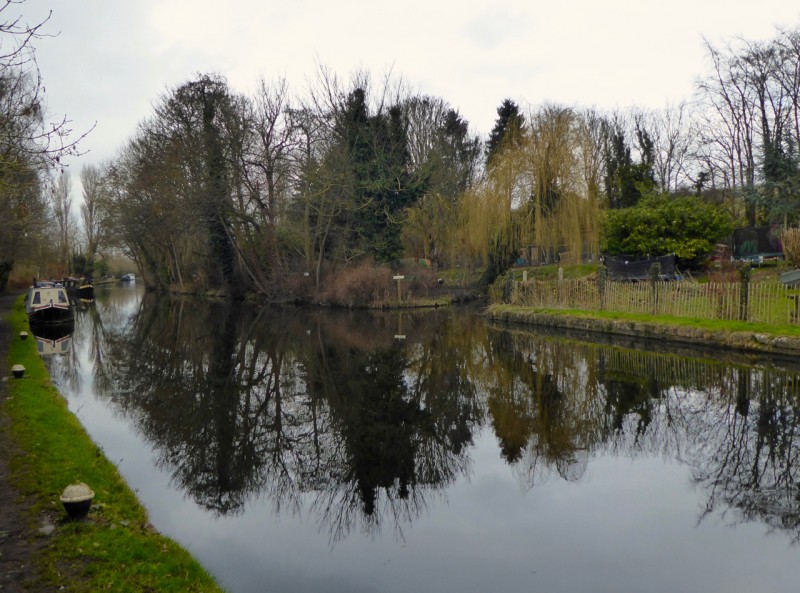
Mud! Slippery mud, squelching mud, pull-your-boots-off-mud. The heavy rain of yesterday left the ground saturated. The intrepid though do not give it too much thought - or, rather, give voice to the thought apart for the odd expletive. So we squelched and slithered our way across Ruislip Woods and along the Hillingdon Trail - with probably the best signage of any trial in the country - to eventually reach the Colne Valley and the Grand Union Canal. On the way we stopped to look over the graves in the Anzac cemetery at Harefield Church. The Colne Valley, shared with the Grand Union Canal is a watery landscape shared with old gravel pits now filled with water and water fowl. Four of London Group made the walk which began at Northwood Hills Station and finished at Rickmansworth. The day was cloudy with a little sun at times but still so that the watery world provided plenty of mirror-like reflections. A good outing nicely finished off at the Wetherspoon's in Rickmansworth.
Other Files
Download Walk ReportGallery
Maps:
You can use the interactive controls to zoom in and out and to move around the map, or click on a marker for more info. (interactive map help)
Contains Ordnance Survey data © Crown copyright and database right 2016.
© OpenStreetMap contributors under Open Database Licence.
Rights of way data from selected Local Authorities.
Large scale digital mapping is provided by John Thorn.
© OpenStreetMap contributors under Open Database Licence.
Rights of way data from selected Local Authorities.
Large scale digital mapping is provided by John Thorn.


