


The 2 Hams walk
Sat 12th Jan 2019
Walk Details:
Event Type
Group Walk
Region
Southern England
Local Group
London
Distance
19ml.
Start Time
09.05
Route
Circular from Amersham station (8.27 from Marylebone) north via Chesham and Ley Hill
General Notes
Pub or picnic lunch at Ashley Green. Some woodland tracks could be very muddy
Web Site
Start
Finish
Entry Details:
Cost
Walk Report
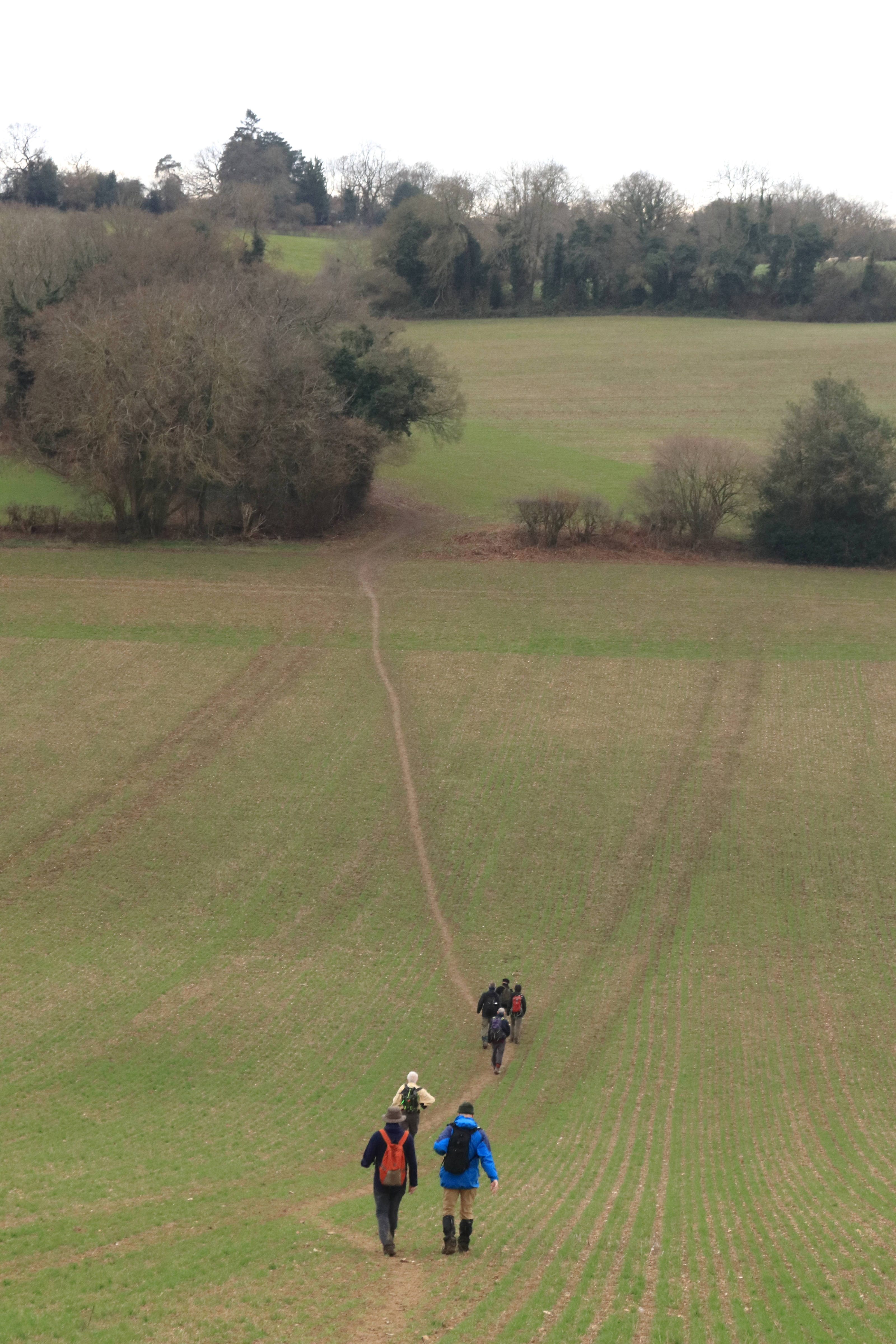
The 2 Hams Walk, Saturday 12th January 20198 walkers, 20 miles - leader Jerome Ripp
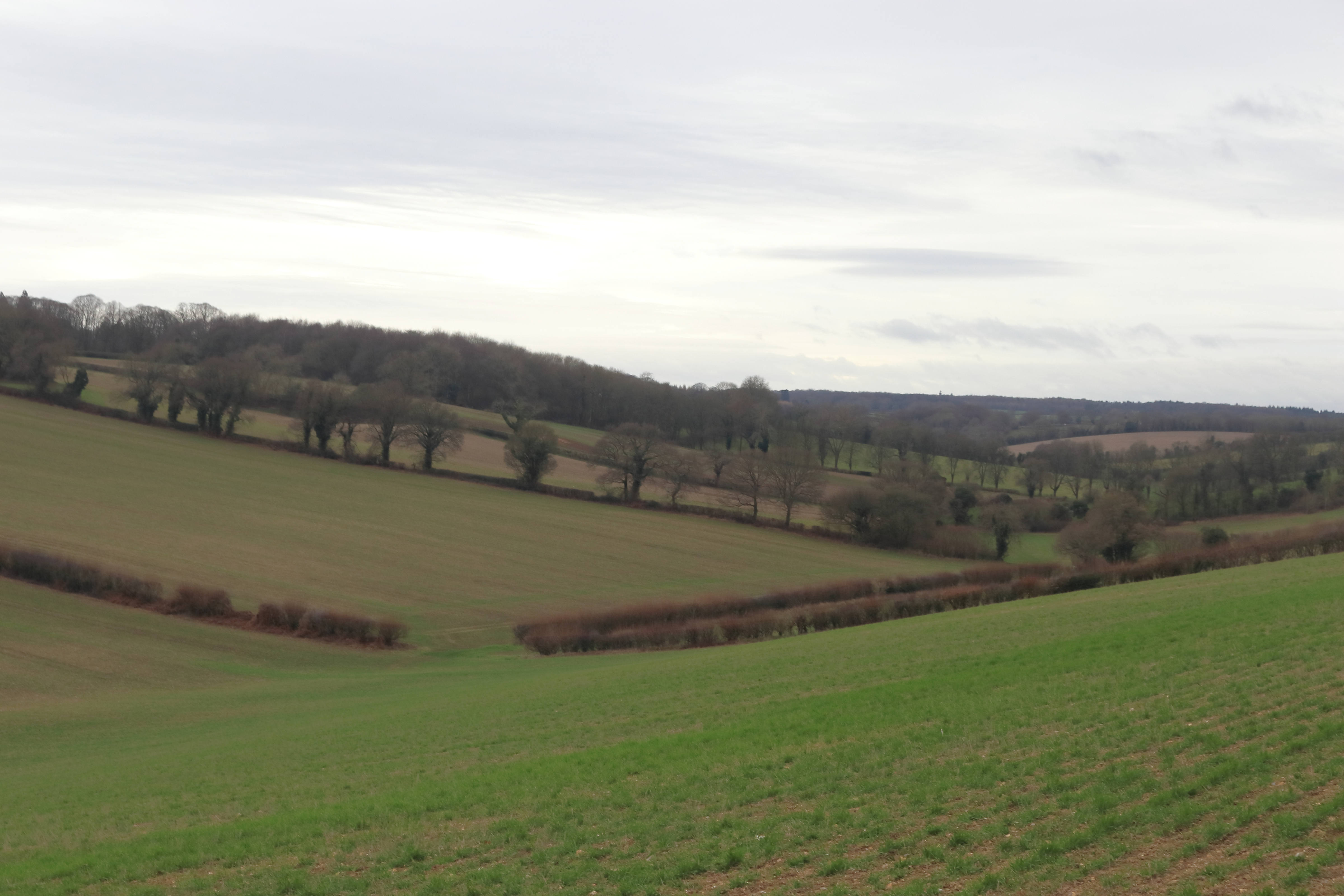
A rather grey gloomy day with odd bits of drizzle, almost mud-free due to the dry winter to date.
Amersham, Chesham and the low hills to the east in the morning with lunch at Ashley Green.
A hillier afternoon with ridges and bottoms via Asheridge and Chartridge and the long valley of Herbert's Hole.
Some loops were requested en route and the leader kindly responded. An enjoyable Chilterns day.
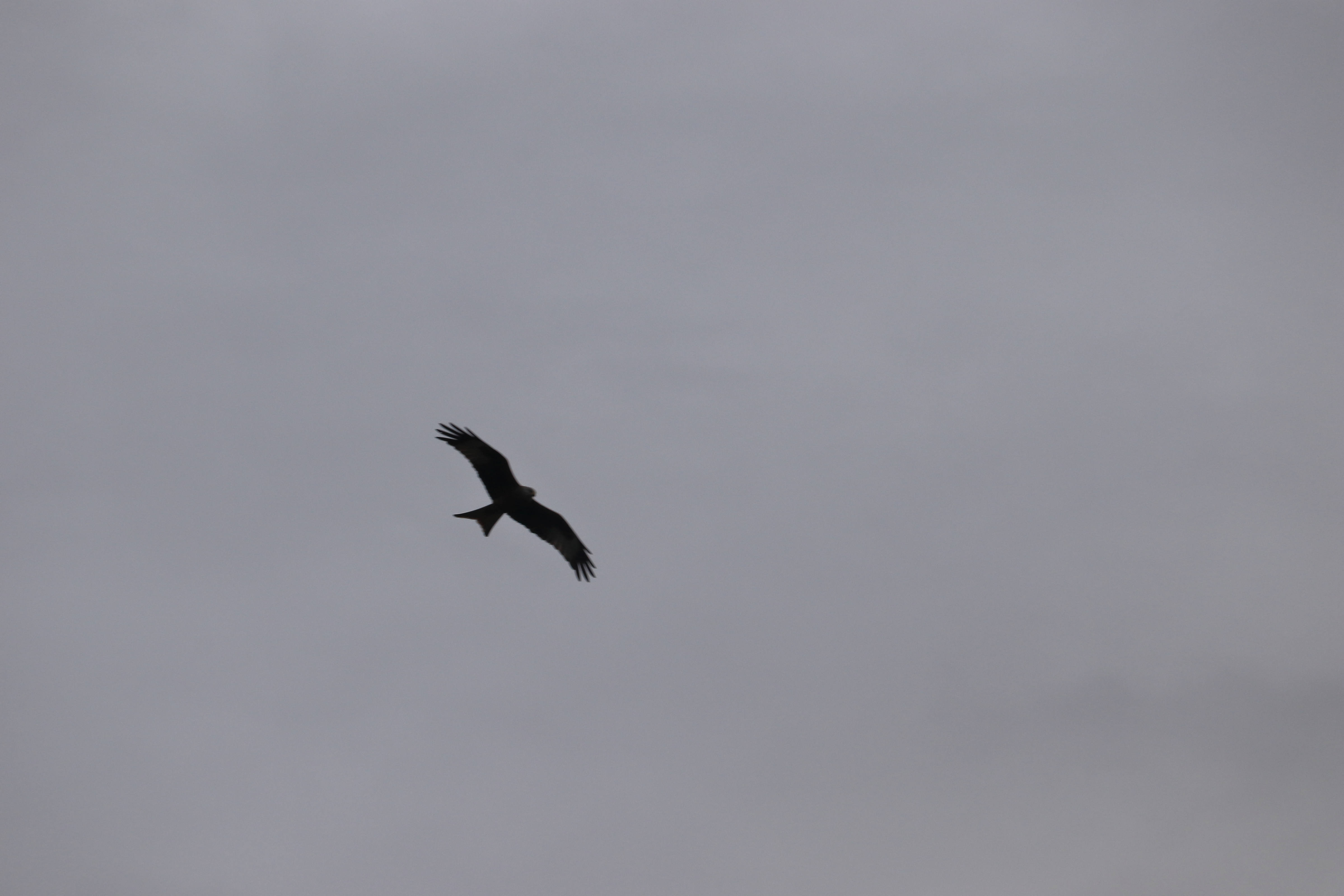
Photographs by Gavin Fuller
Other Files
Download Walk ReportGPX
A GPX file of the above route may be downloaded by clicking the link below.
Note: GPX files of Group Walks are created by LDWA Group members, and may be downloaded only by other LDWA members. They should not be made available outside the LDWA, and are used at members' own risk.
Login to Download (Members Only)You can use the interactive controls to zoom in and out and to move around the map, or click on a path or a marker for more info. (interactive map help)
You can use the interactive controls to zoom in and out and to move around the map, or click on a path or a marker for more info. (interactive map help)
Contains Ordnance Survey data © Crown copyright and database right 2016.
© OpenStreetMap contributors under Open Database Licence
Rights of way data from selected Local Authorities
Large scale digital mapping is provided by John Thorn
At high zoom levels the route is indicative only.
© OpenStreetMap contributors under Open Database Licence
Rights of way data from selected Local Authorities
Large scale digital mapping is provided by John Thorn
At high zoom levels the route is indicative only.
Gallery

Maps:
You can use the interactive controls to zoom in and out and to move around the map, or click on a marker for more info. (interactive map help)
Contains Ordnance Survey data © Crown copyright and database right 2016.
© OpenStreetMap contributors under Open Database Licence.
Rights of way data from selected Local Authorities.
Large scale digital mapping is provided by John Thorn.
© OpenStreetMap contributors under Open Database Licence.
Rights of way data from selected Local Authorities.
Large scale digital mapping is provided by John Thorn.


