


!!!Confirmed: POP UP!!! Midweek Day: Sea, Sun and Sand
Fri 19th Jan 2018
Walk Details:
A chance to top up your suntan as we follow the Thames as it nears its mouth in the North Sea. The invigorating breezes will quickly blow away the winter blues. Beware mud warnings for 5 miles but last 4 on tarmac
Entry Details:
Walk Report
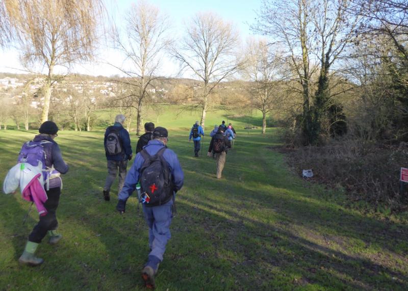
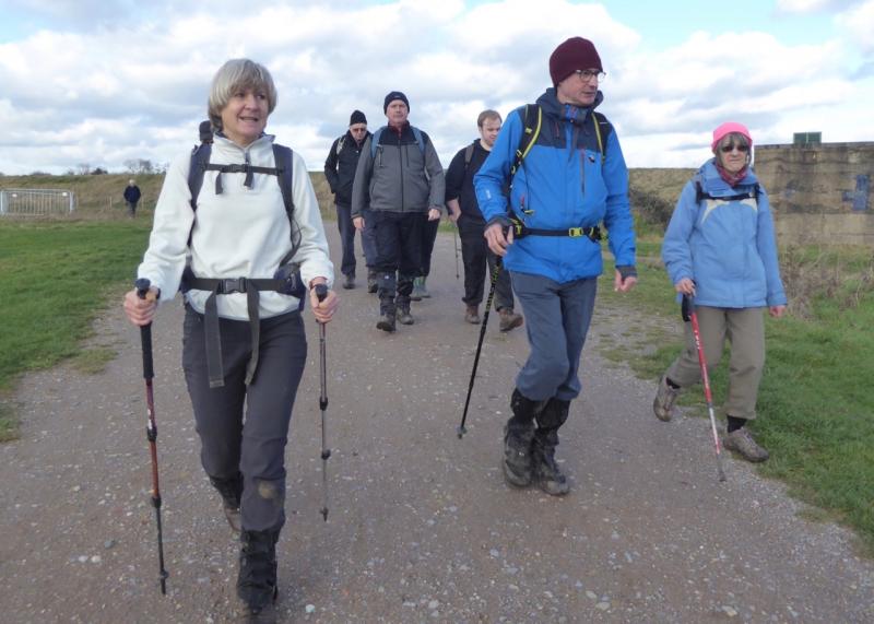
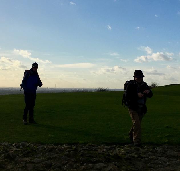
Sea, Sun and Sand, Friday 19th January 201814 walkers, 16 miles for some, 13 for most - leader Ron Williamson
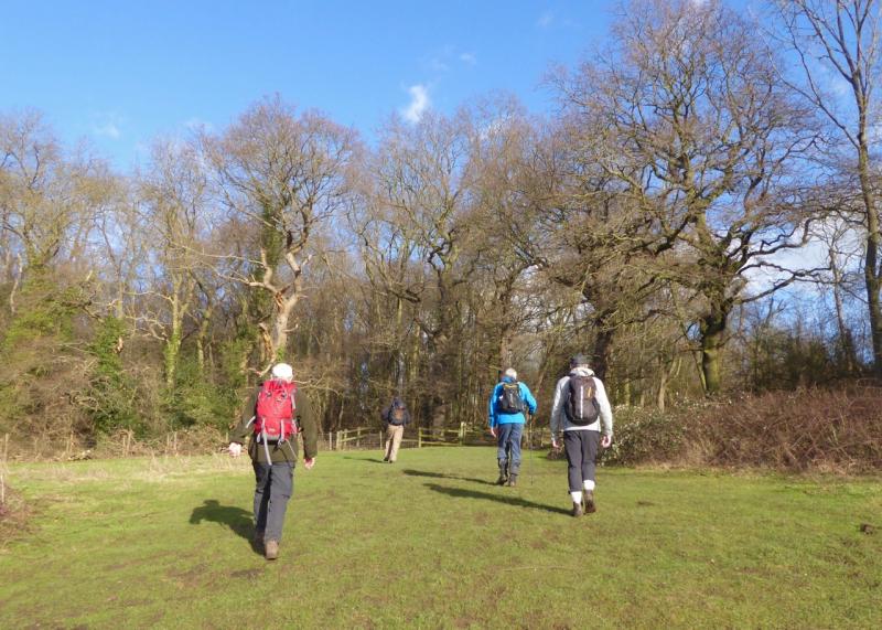
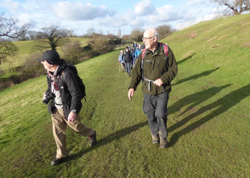
Once again the pop-uppers were blessed with glorious weather as we returned to the sunshine capital of the U.K. Our route from Pitsea station negotiated the former marshland of Pitsea and Benfleet before climbing steadily towards the heights of Thundersley from whence a roller coaster route returned us to the outskirts of Benfleet before crossing farm land, and into Hadleigh Country Park.
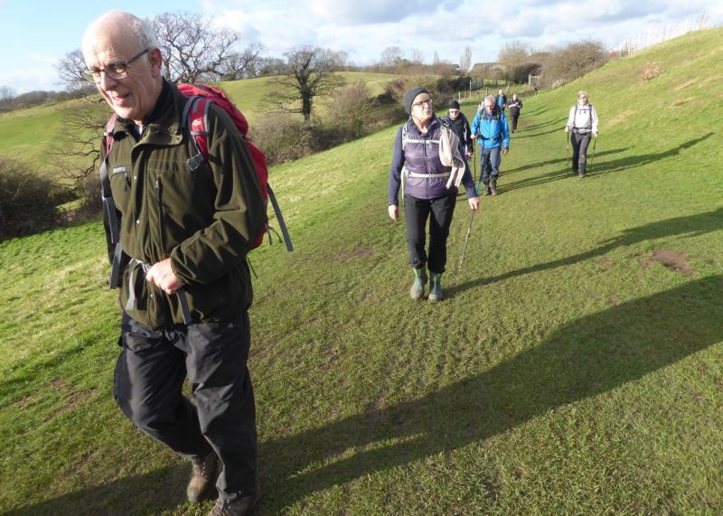
An ideal spot for lunch at the Salvation Army Cafe, adjacent to the Olympic mountain bike course, encouraged the leader to modify the planned route and add one or two extra hills.
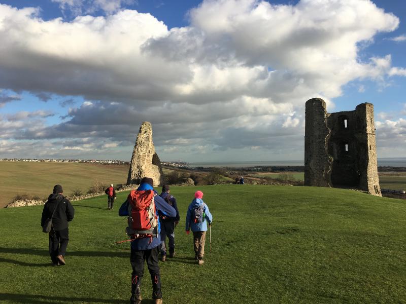
After lunch, therefore, our thighs continued to burn as we descended steeply to the Thames flood plain only to climb again to Hadleigh Castle: an exercise to be repeated three further times at Leigh, Westcliff and finally Southend itself.
This invigorating warm up stimulated our female contingent to request a walk extension of 2.66 miles to the pier head and back. Who could refuse such a request? Well the majority did having sensed the close proximity of the local Wetherspoons. So it was only 4 members who had the privilege to watch the sun dip into the sea at the end of a perfect day.
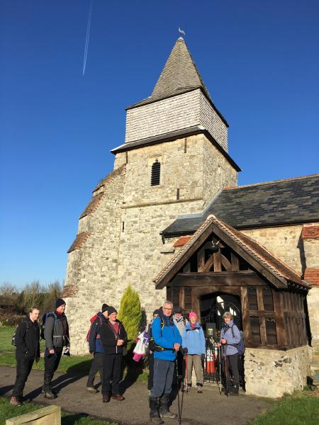
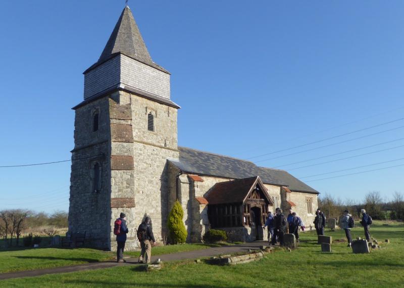
Footnote - St. Margaret's Church - Bowers Gifford (see photograph)
There has probably been a church on the grounds since Saxon times and the original would have been made of wood.
A stone church was built by Sir John Giffard in the early fourteenth century and traces of this building still remain in the South wall (circa 1320) and West doorway. The church was a gift of the Lords of the manor, the Giffards, who eventually gave their name to the small village of Bowers Gifford. Sir John fought in the battle Crecy and there is an incomplete brass of him in full armour in the Sanctuary.
The church is built mainly of Kentish ragstone with a tower and wooden spire which was added in Tudor times. In the bell tower, which is reached by twenty-five steeply winding steps, three bells are housed, all of which are original fourteenth century. The bells are amongst the oldest in the County and are still rung regularly. There is also a fifteenth century Piscina (free standing basin for washing sacred vessels) and a sixteenth century wooden Font cover. The glorious East window made by Lavers, Barraud, Westlake won a Gold Medal at the Paris Exhibition of 1870 and was installed at the church in 1871. Footnote added by Keith Lane
Photographs by Keith Lane and Godfrey O'Callaghan; more by Gavin Fuller on the group Facebook page
Other Files
Download Walk ReportGPX
A GPX file of the above route may be downloaded by clicking the link below.
Note: GPX files of Group Walks are created by LDWA Group members, and may be downloaded only by other LDWA members. They should not be made available outside the LDWA, and are used at members' own risk.
Login to Download (Members Only)You can use the interactive controls to zoom in and out and to move around the map, or click on a path or a marker for more info. (interactive map help)
You can use the interactive controls to zoom in and out and to move around the map, or click on a path or a marker for more info. (interactive map help)
© OpenStreetMap contributors under Open Database Licence
Rights of way data from selected Local Authorities
Large scale digital mapping is provided by John Thorn
At high zoom levels the route is indicative only.
Gallery


Maps:
You can use the interactive controls to zoom in and out and to move around the map, or click on a marker for more info. (interactive map help)
© OpenStreetMap contributors under Open Database Licence.
Rights of way data from selected Local Authorities.
Large scale digital mapping is provided by John Thorn.


