


An extended Wetherspoons Odyessey
Sun 2nd Dec 2018
Walk Details:
An 18 mile stroll crossing Walthamstow Marshes & then taking in the delights of East London & onto Liverpool Street. We then follow the Wetherspoons trail passing no less than 16! with lunch TBA. After lunch we follow the river to Putney
Entry Details:
Walk Report
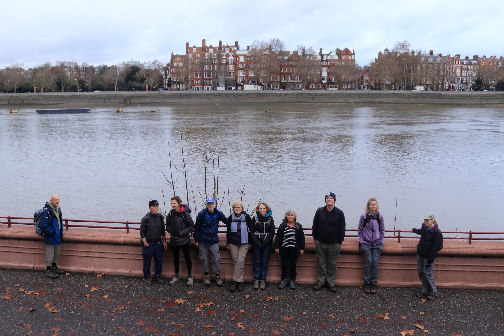
An Extended Wetherspoons Odyssey (Hamilton Hall, Liverpool Street Station to The Rocket, Putney), Sunday 2nd December 201825 walkers, 17 miles - leader Dave Williams
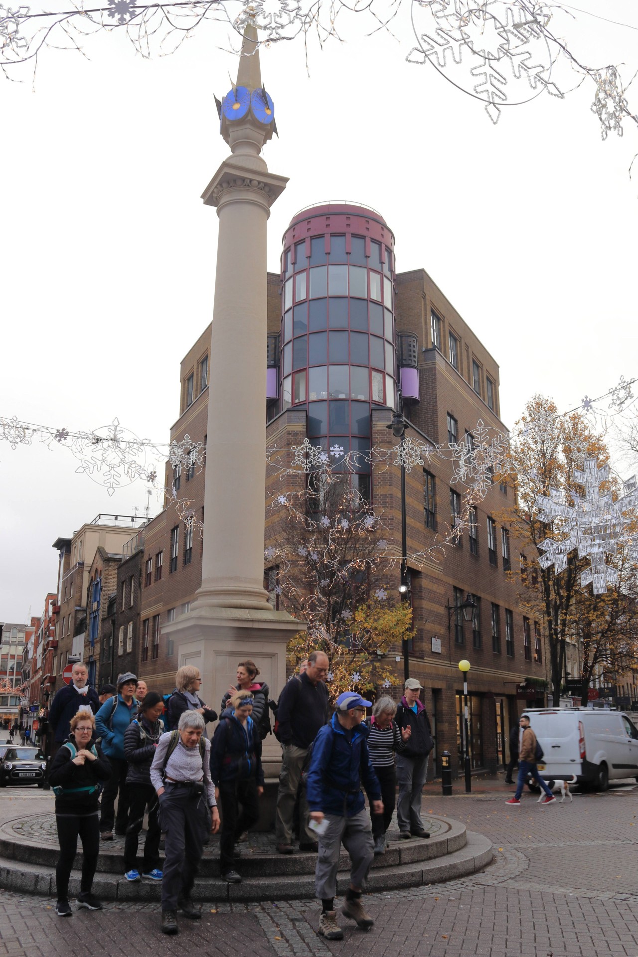
25 including some 'old faces' and one notable Slinker turned up for my Wetherspoons Odyssey.
Every Wetherspoons we passed offered a possible loo stop which we took full advantage of!
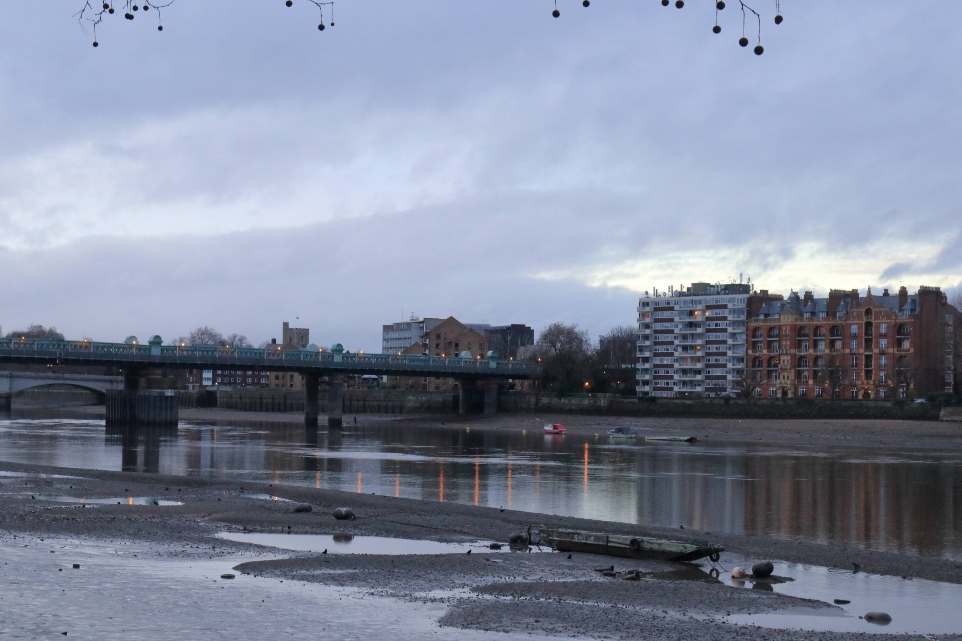
Fortunately there were no disasters to report apart from a couple of Slopers & we reached our 16th & final Wetherspoons The Rocket at Putney just before 4pm where some of us enjoyed a celebratory pint or two and a meal.
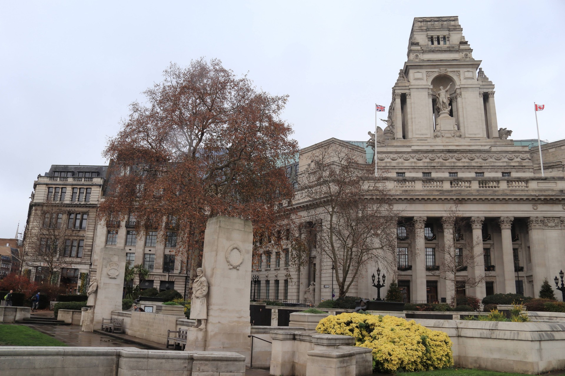
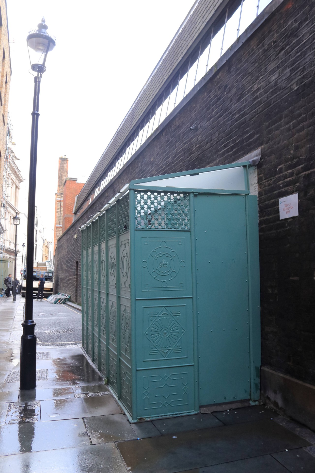
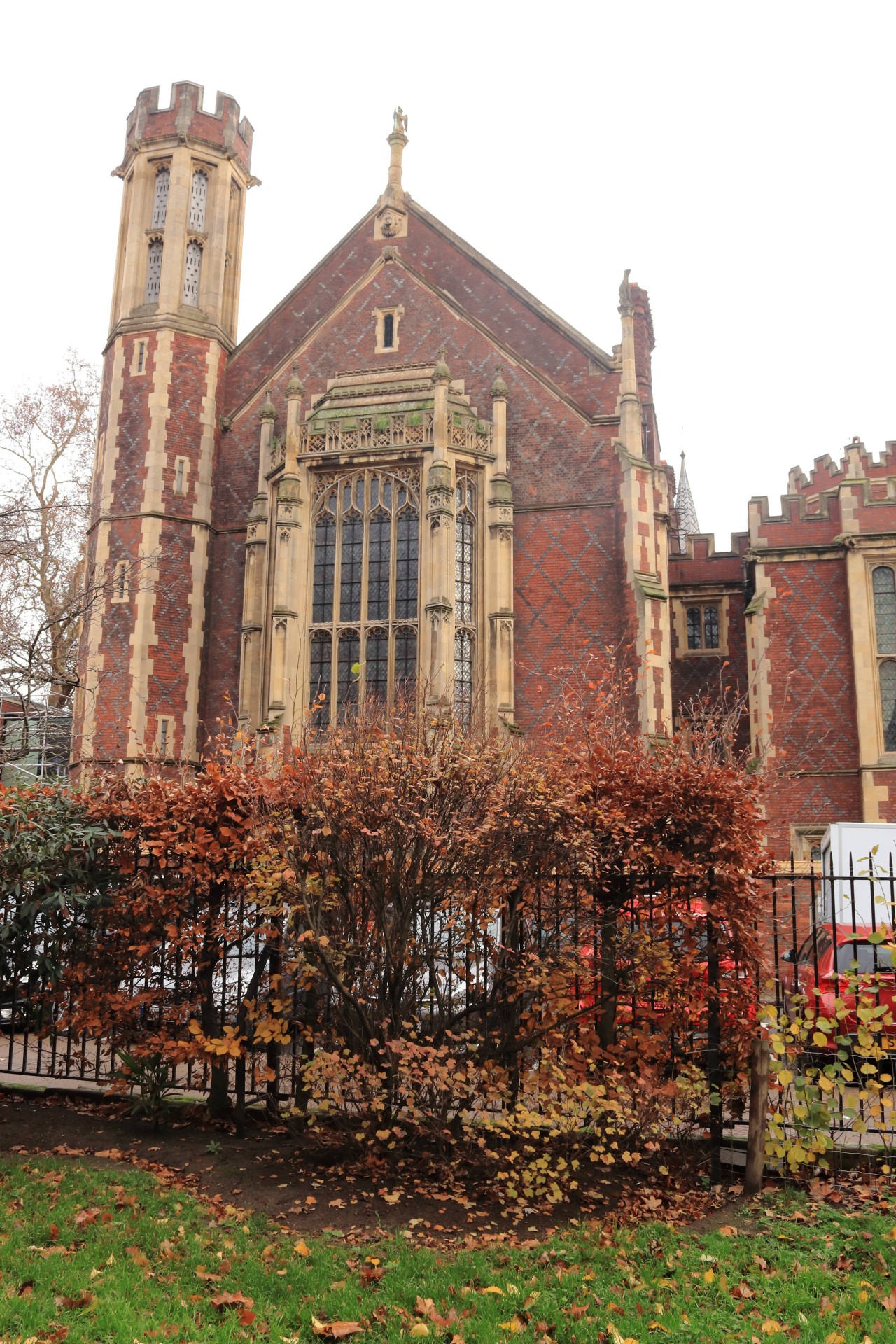
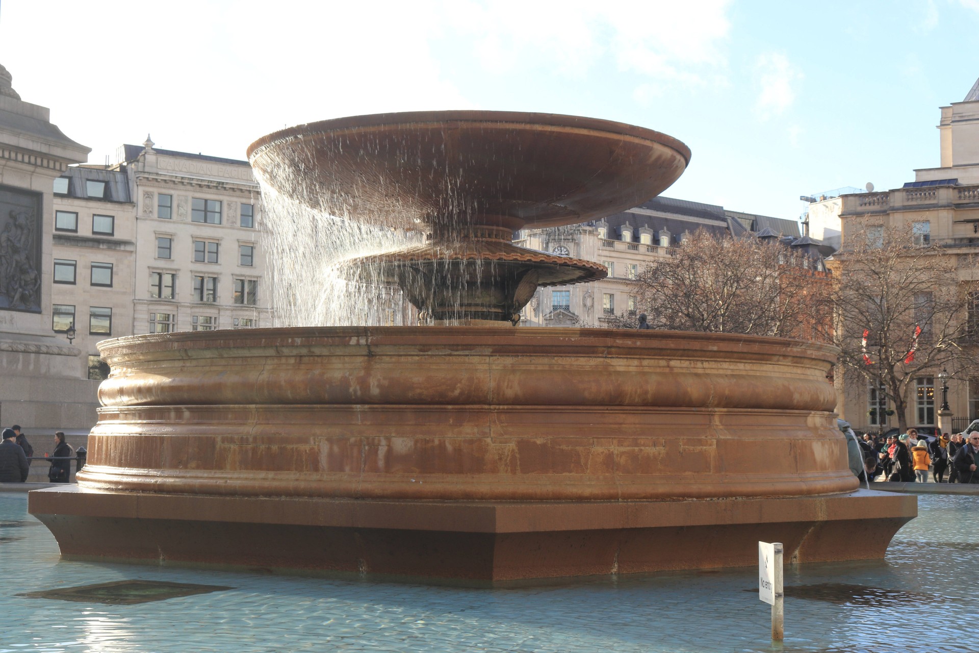
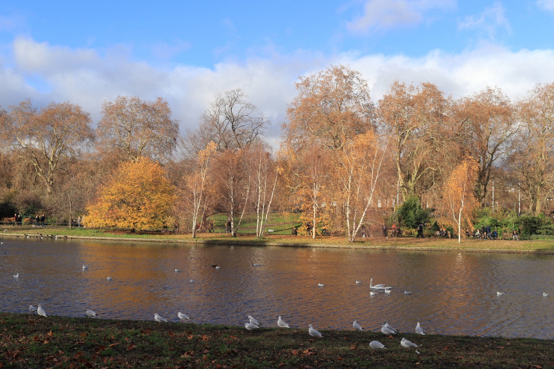
Photographs by Gavin Fuller; more by Ian Fairweather and Julie Welch on the group Facebook page
Other Files
Download Walk ReportGPX
A GPX file of the above route may be downloaded by clicking the link below.
Note: GPX files of Group Walks are created by LDWA Group members, and may be downloaded only by other LDWA members. They should not be made available outside the LDWA, and are used at members' own risk.
Login to Download (Members Only)You can use the interactive controls to zoom in and out and to move around the map, or click on a path or a marker for more info. (interactive map help)
You can use the interactive controls to zoom in and out and to move around the map, or click on a path or a marker for more info. (interactive map help)
© OpenStreetMap contributors under Open Database Licence
Rights of way data from selected Local Authorities
Large scale digital mapping is provided by John Thorn
At high zoom levels the route is indicative only.
Gallery


Maps:
You can use the interactive controls to zoom in and out and to move around the map, or click on a marker for more info. (interactive map help)
© OpenStreetMap contributors under Open Database Licence.
Rights of way data from selected Local Authorities.
Large scale digital mapping is provided by John Thorn.


