


West Dulwich to Ladywell
Wed 18th Jul 2018
Walk Details:
Event Type
Group Walk
Region
Southern England
Local Group
London
Distance
7ml.
Start Time
18.15
Route
Meet West Dulwich station. Finish Ladywell station
A summertime exploration of Southern London's leafy suburbs and uplands
General Notes
Refreshment details TBA
Web Site
Start
Finish
Entry Details:
Cost
Walk Report
West Dulwich to Ladywell, Wednesday 18th July 201813 walkers, 7 miles - leader Aysen Bekir
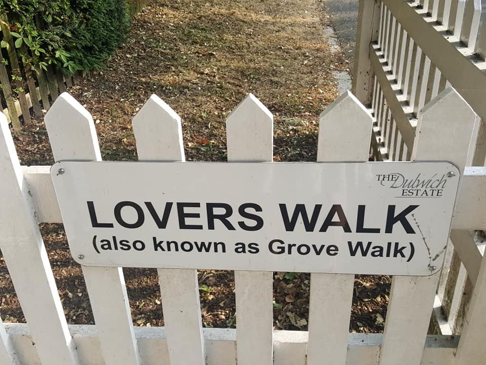
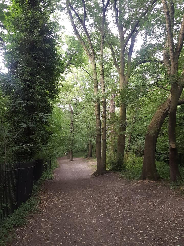
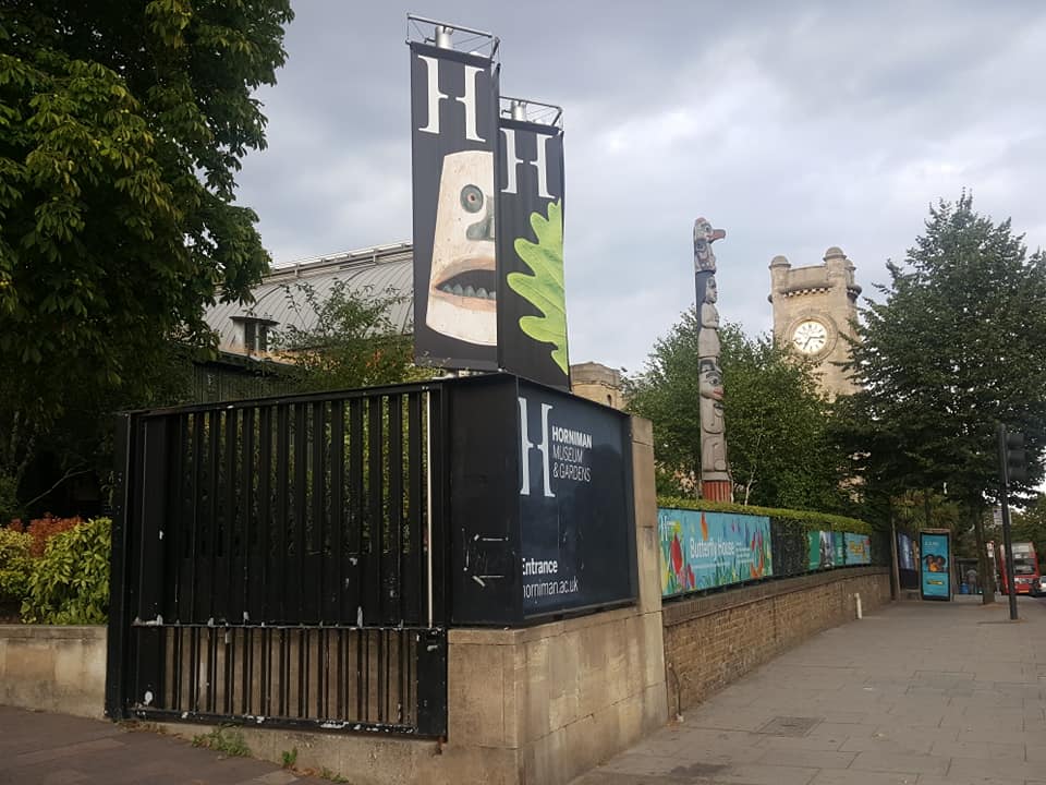
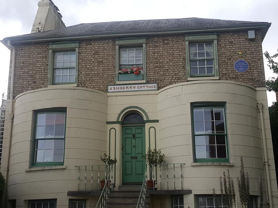
There were 13 of us, it was a 7 mile walk through Belair Park, onto Dulwich Park out and up through Cox's Walk, past the bridge where Pissarro did his painting of Lordship Lane Station, through Sydenham Hill Woods, along to Horniman's where we had a brief stop for loo and view, out and past Mrs. Jordan's house where she entertained William IV, along and down to Brenchley Gardens, into Honor Oak nature reserve, up One Tree Hill for another view-stop by the Great War gun emplacement, a nod to the Oak of Honour before heading down past Honor Oak station, on up Blythe Hill and then the shortest route down to Ladywell Fields and the Ladywell Tavern. (Beer, sooner rather than later was the preferred option, otherwise we would have done one more hill and gone up Hilly Fields.) Dave wanted to try the Fox and Firkin, but everyone else wanted the nearest pub, so we headed to the Ladywell Tavern and sat outside, enjoying a cold beer on a warm evening.
I gather my pace was a bit Blackheathy, but this is the first LDWA evening walk I've been on, so I need to adjust to a different culture. Anyway, everyone was lovely, and warmly appreciative. There were transport problems that evening - signalling failure and cancellations. Some only just made it, so possibly some were unable to get there on time.
Photographs by Corinne Thompson; more by Corinne on the group Facebook page
Other Files
Download Walk ReportGallery
Maps:
You can use the interactive controls to zoom in and out and to move around the map, or click on a marker for more info. (interactive map help)
Contains Ordnance Survey data © Crown copyright and database right 2016.
© OpenStreetMap contributors under Open Database Licence.
Rights of way data from selected Local Authorities.
Large scale digital mapping is provided by John Thorn.
© OpenStreetMap contributors under Open Database Licence.
Rights of way data from selected Local Authorities.
Large scale digital mapping is provided by John Thorn.


