


South Downs Stroll
Sat 28th Jul 2018
Walk Details:
This varied linear walk will visit four South Downs villages before joining the South Downs Way and roller coasting along the Seven Sisters into Eastbourne. You might want to bring your cozzie for a refreshing dip in the sea at the end of the walk.
Entry Details:
Walk Report
South Downs Stroll, Saturday 28th July 201812 walkers, 26 miles - leader Susanne Waldschmidt
12 people started this walk. Luckily the weather was cooler than it had been of late but very strong winds developed in the afternoon. This proved to be quite challenging especially as this was a longer walk than usual. 3 people dropped out.
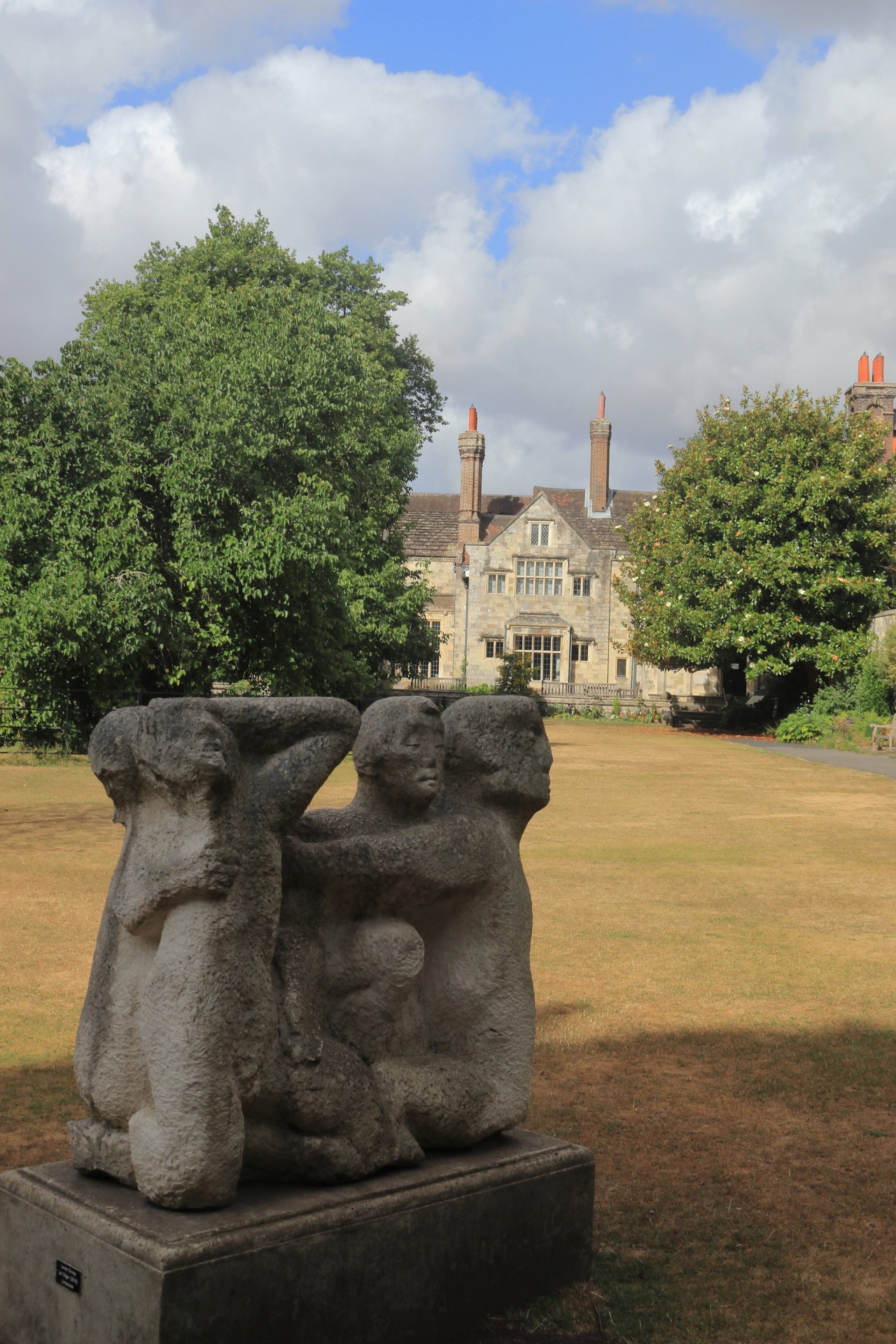
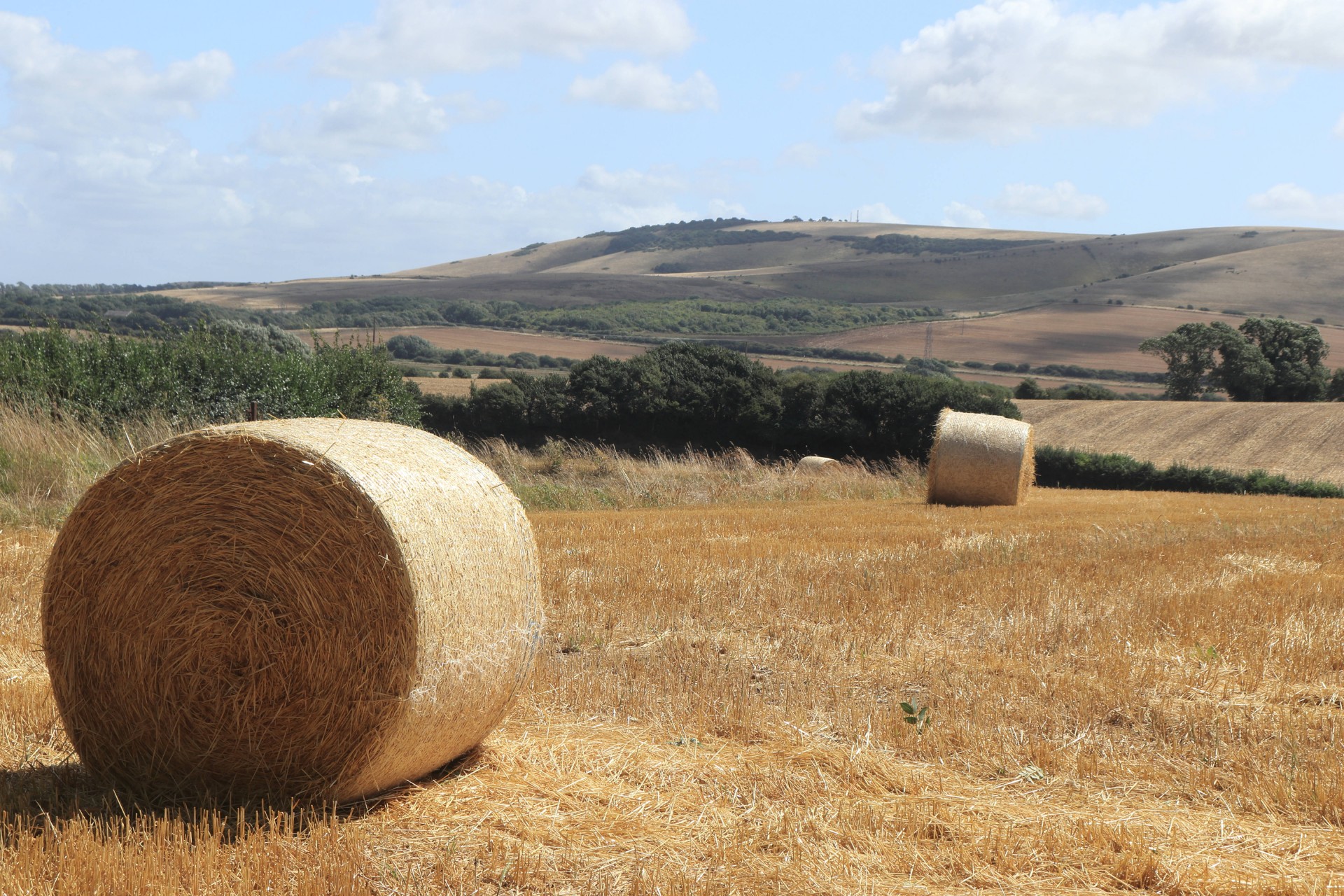
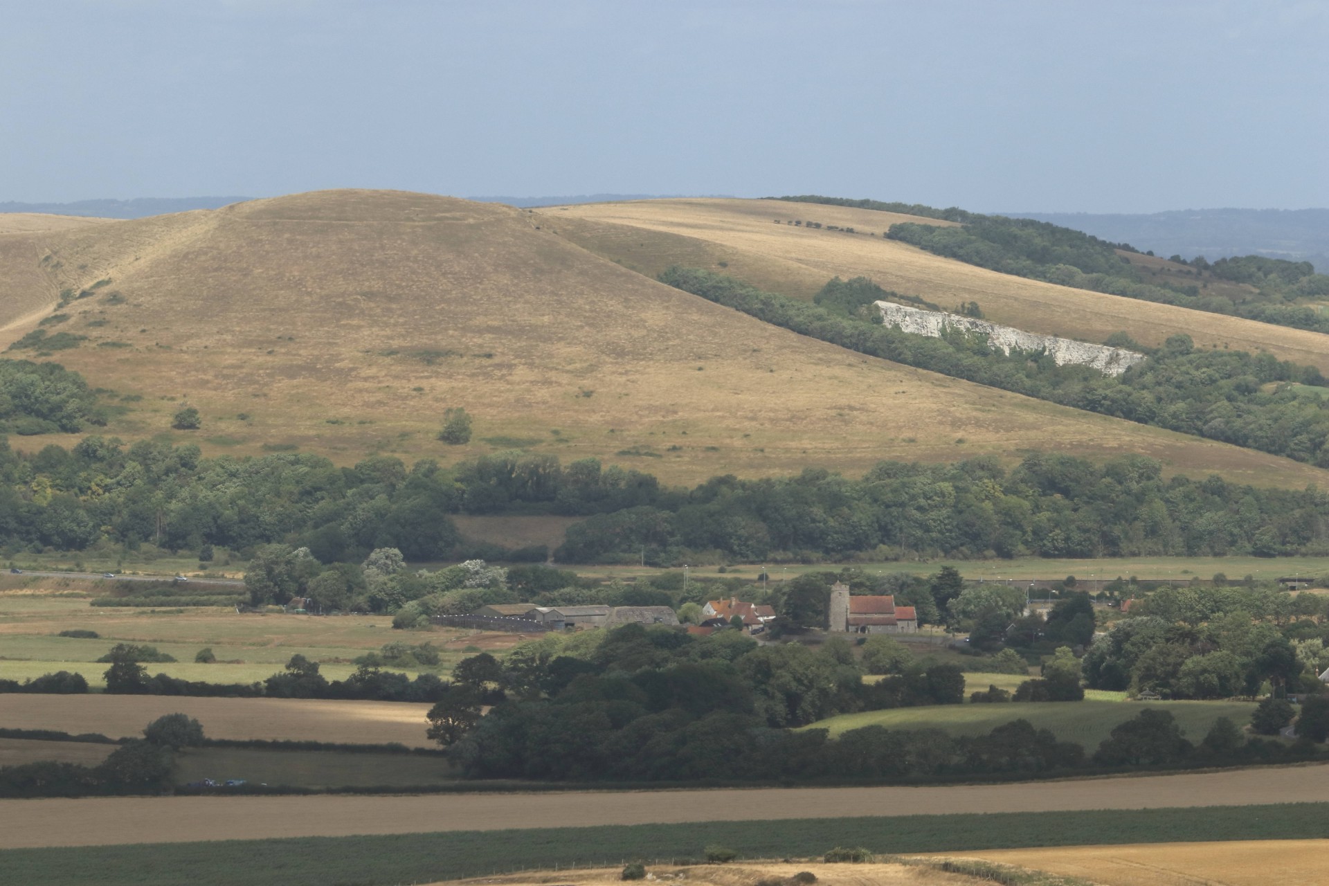
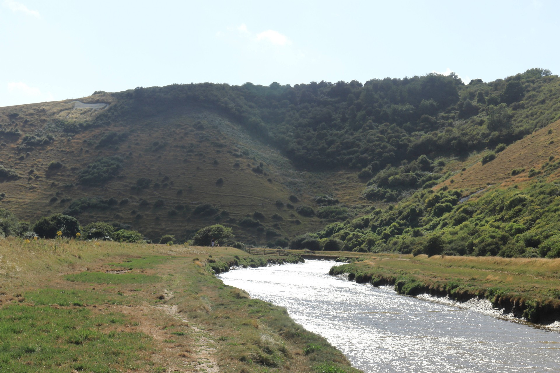
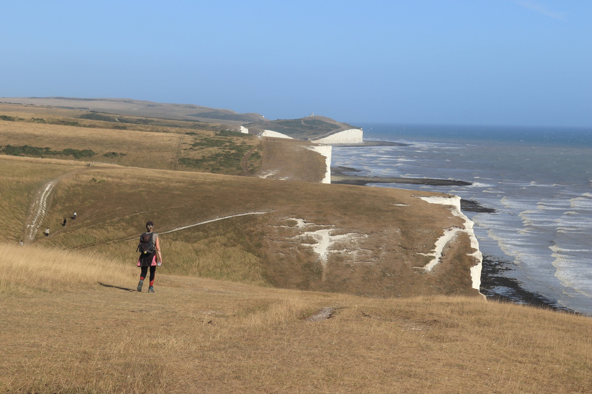
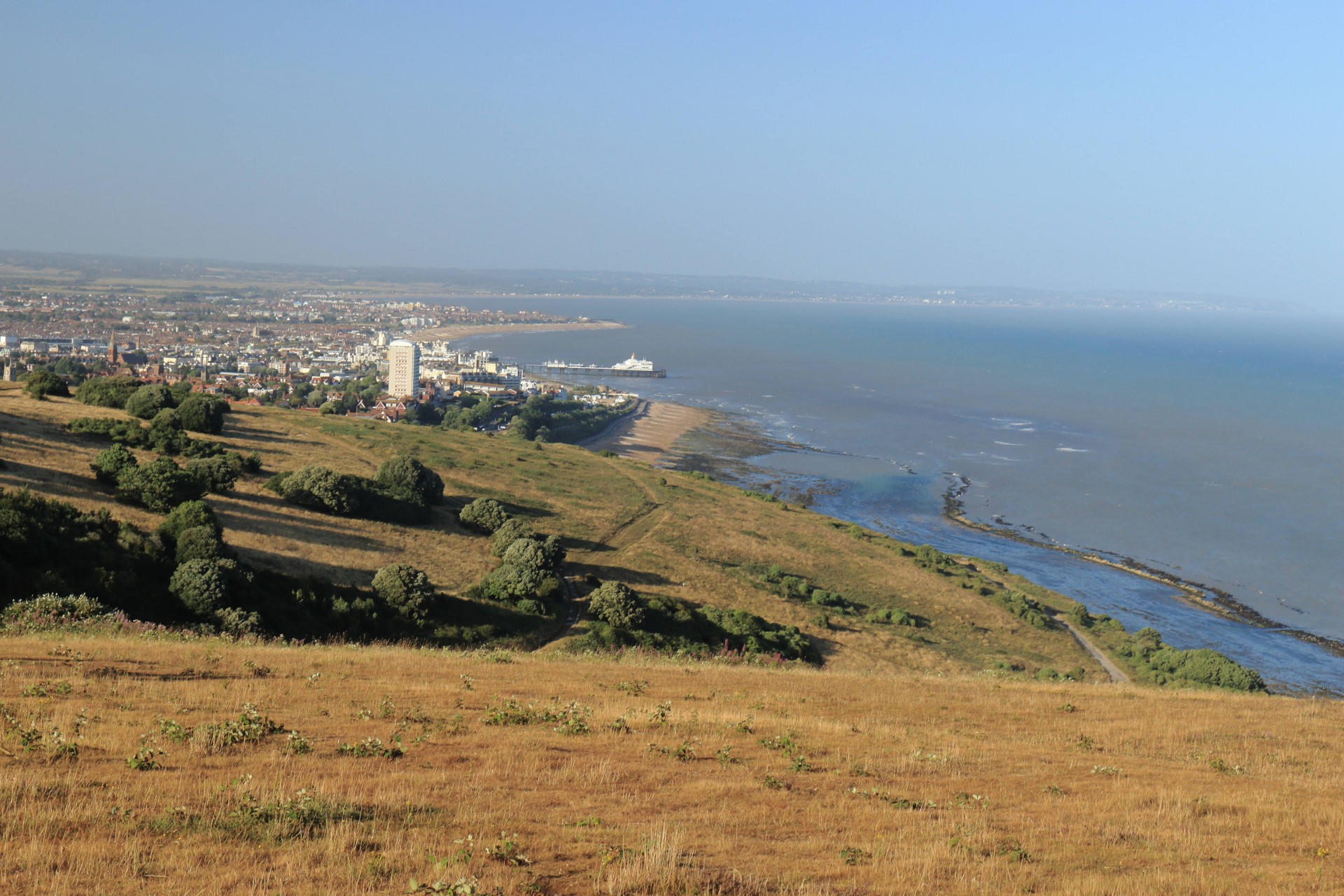
We started by going through the pretty villages of Rodmell, Southease and Alfriston where we stopped for lunch. We then followed the Cuckmere River to Seven Sisters. Then the final challenge.
The Seven Sisters (or is it eight?). More energetic walkers decided to go on. We finally arrived in Eastbourne. A swim would have been nice but it was low tide! However it was getting late and we arrived at Eastbourne station just after 8. The walk was probably closer to 26 miles. An exhausting but satisfying and varied walk.
Photographs by Gavin Fuller; more by Gavin on the group Facebook page.
Other Files
Download Walk ReportGPX
A GPX file of the above route may be downloaded by clicking the link below.
Note: GPX files of Group Walks are created by LDWA Group members, and may be downloaded only by other LDWA members. They should not be made available outside the LDWA, and are used at members' own risk.
Login to Download (Members Only)You can use the interactive controls to zoom in and out and to move around the map, or click on a path or a marker for more info. (interactive map help)
You can use the interactive controls to zoom in and out and to move around the map, or click on a path or a marker for more info. (interactive map help)
© OpenStreetMap contributors under Open Database Licence
Rights of way data from selected Local Authorities
Large scale digital mapping is provided by John Thorn
At high zoom levels the route is indicative only.
Gallery


Maps:
You can use the interactive controls to zoom in and out and to move around the map, or click on a marker for more info. (interactive map help)
© OpenStreetMap contributors under Open Database Licence.
Rights of way data from selected Local Authorities.
Large scale digital mapping is provided by John Thorn.


