


London to Brighton Part 1
Sat 19th May 2018
Walk Details:
Event Type
Group Walk
Region
Southern England
Local Group
London
Distance
21ml.
Start Time
08.45
Route
Start: East Croydon Station, Finish: Redhill
The first walk in the London to Brighton series, using parts of the Vanguard Way, London Loop, Downsland Circular, North Downs Way and Greensland Way
Web Site
Start
Finish
Entry Details:
Cost
Walk Report
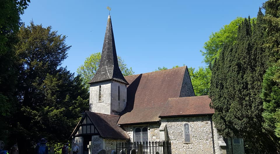
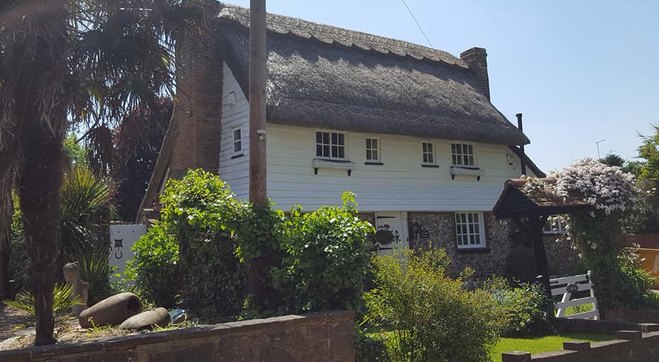
London to Brighton Part 1, Saturday 19th May 201816 walkers, 22 miles - leader Jerome Ripp
A fine May day brought out a select group who were not seduced by the alternative attractions of Windsor and Wembley. With hard baked surfaces, it was difficult to believe that only a few weeks ago we were wading though mud. Barely a trace of it now. Colin Saunders' excellent route description of the Vanguard way took us from East Croydon to the end of Selsdon Wood and then it was the London Loop and variations. A spectacular view of Upper Warlingham lead to the WW2 aerodrome at Kenley where restoration work is going on. Lunch on the common or the pub on Old Lodge Lane and then Coulsdon Common, over Dean Hill and Chaldon church where Pillbox persuaded us to have a cultural break and view the spectacular description of hell hanging on the wall. It all seemed rather jolly. A short stretch on the North Downs Way and then a rather loopy descent to Bletchingley for a much-needed refreshment stop with ice cream for some. A final section on the Greensand Way and an impressive eerie tunnel under the M23 took us to Redhill for 5.30 as promised. Part 2 from Redhill to Balcombe to follow in July and special prizes to those who do all 4 sections.
Photographs by Bola Baruwa; more by Bola on the group Facebook page
Other Files
Download Walk ReportGallery


Maps:
You can use the interactive controls to zoom in and out and to move around the map, or click on a marker for more info. (interactive map help)
Contains Ordnance Survey data © Crown copyright and database right 2016.
© OpenStreetMap contributors under Open Database Licence.
Rights of way data from selected Local Authorities.
Large scale digital mapping is provided by John Thorn.
© OpenStreetMap contributors under Open Database Licence.
Rights of way data from selected Local Authorities.
Large scale digital mapping is provided by John Thorn.


