


Surrey Circular
Sat 26th May 2018
Walk Details:
A circular route taking in the Wey South Path, Chinthurst Hill, Catteshall, Winkworth Arboretum, Hydon's Ball, Hascombe (pub), Greensand Way, Chilworth
Entry Details:
Walk Report
Guildford Circular, Saturday 26th May 201813 walkers, 22 miles - leader Nigel Heys
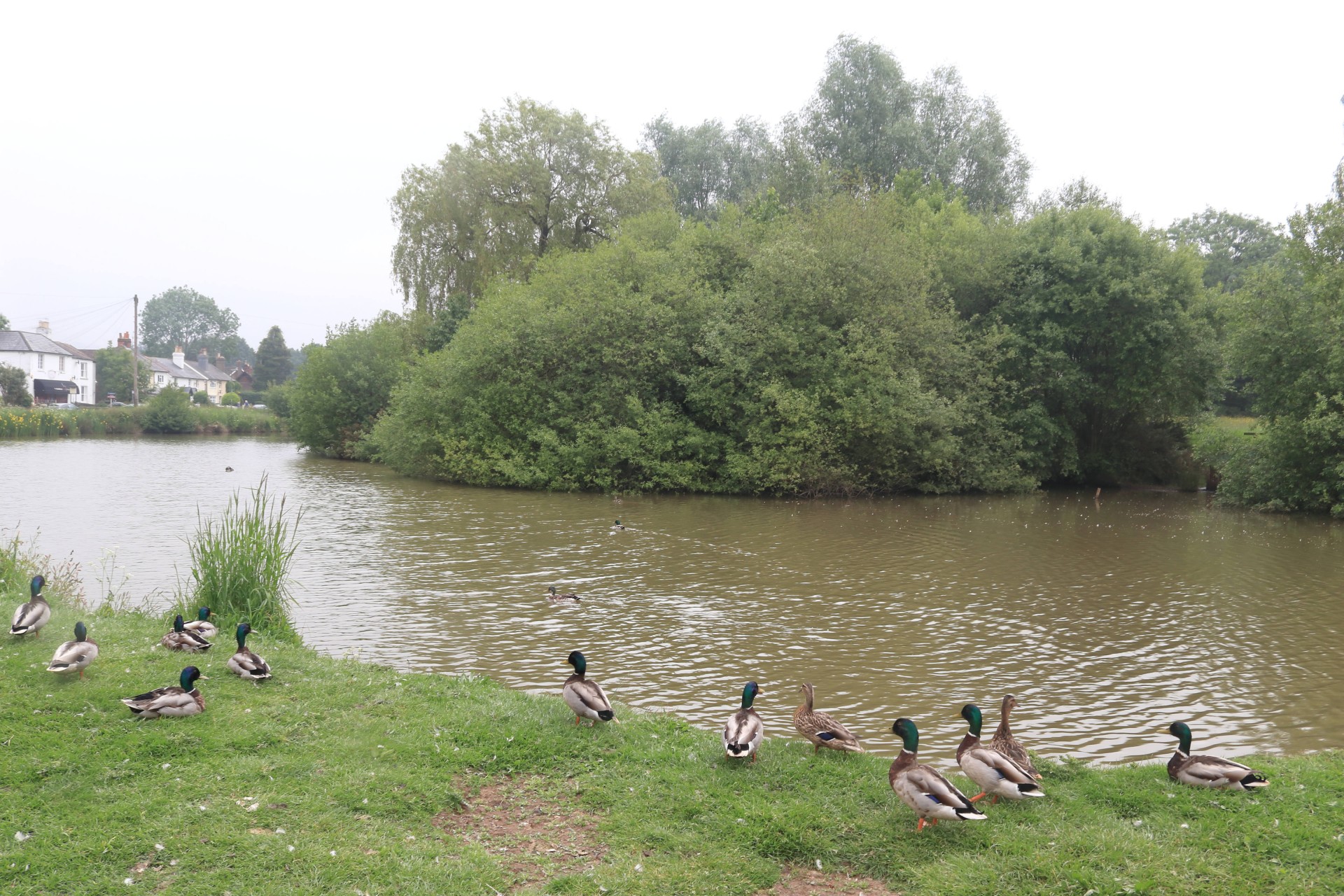
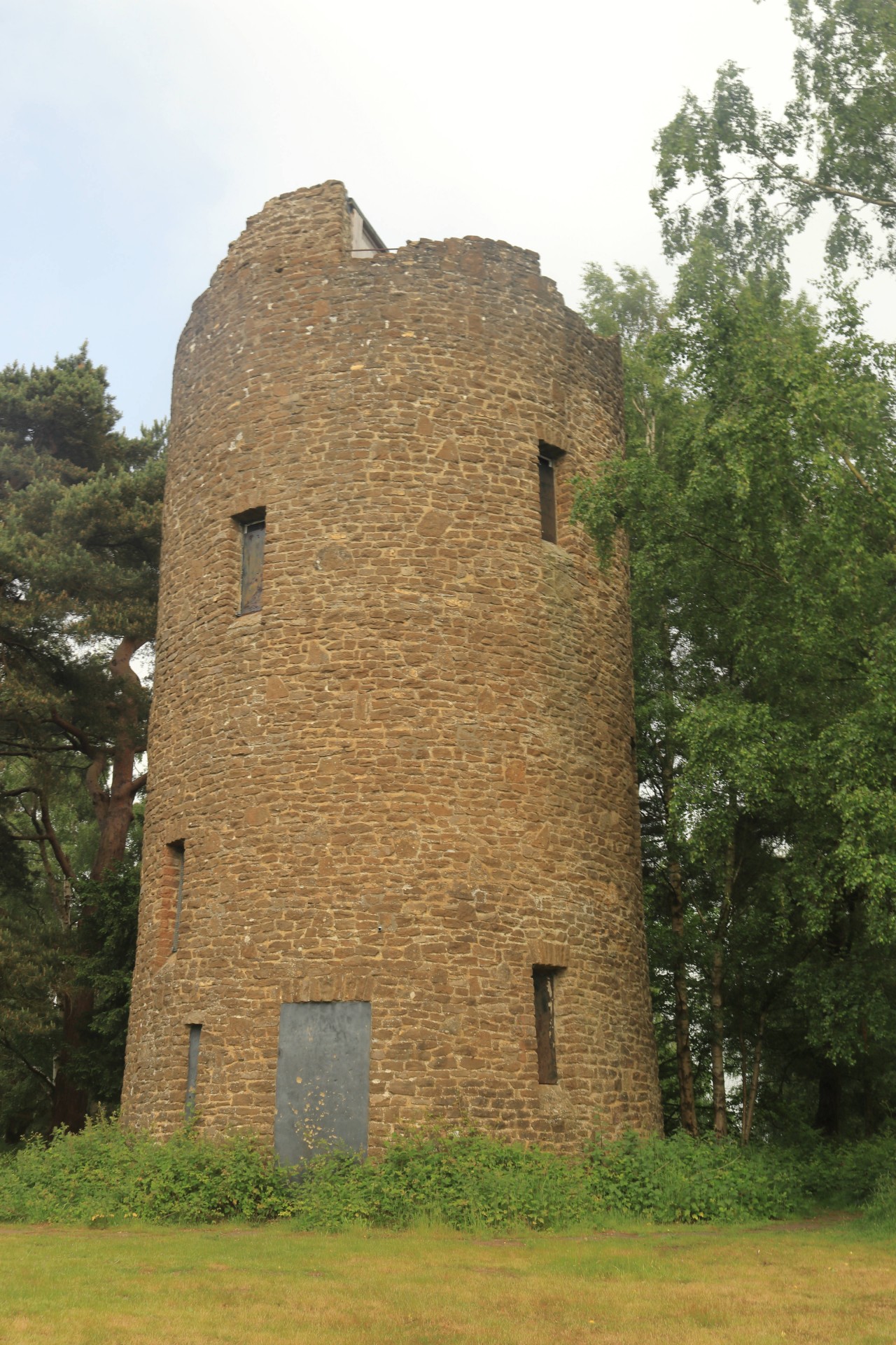
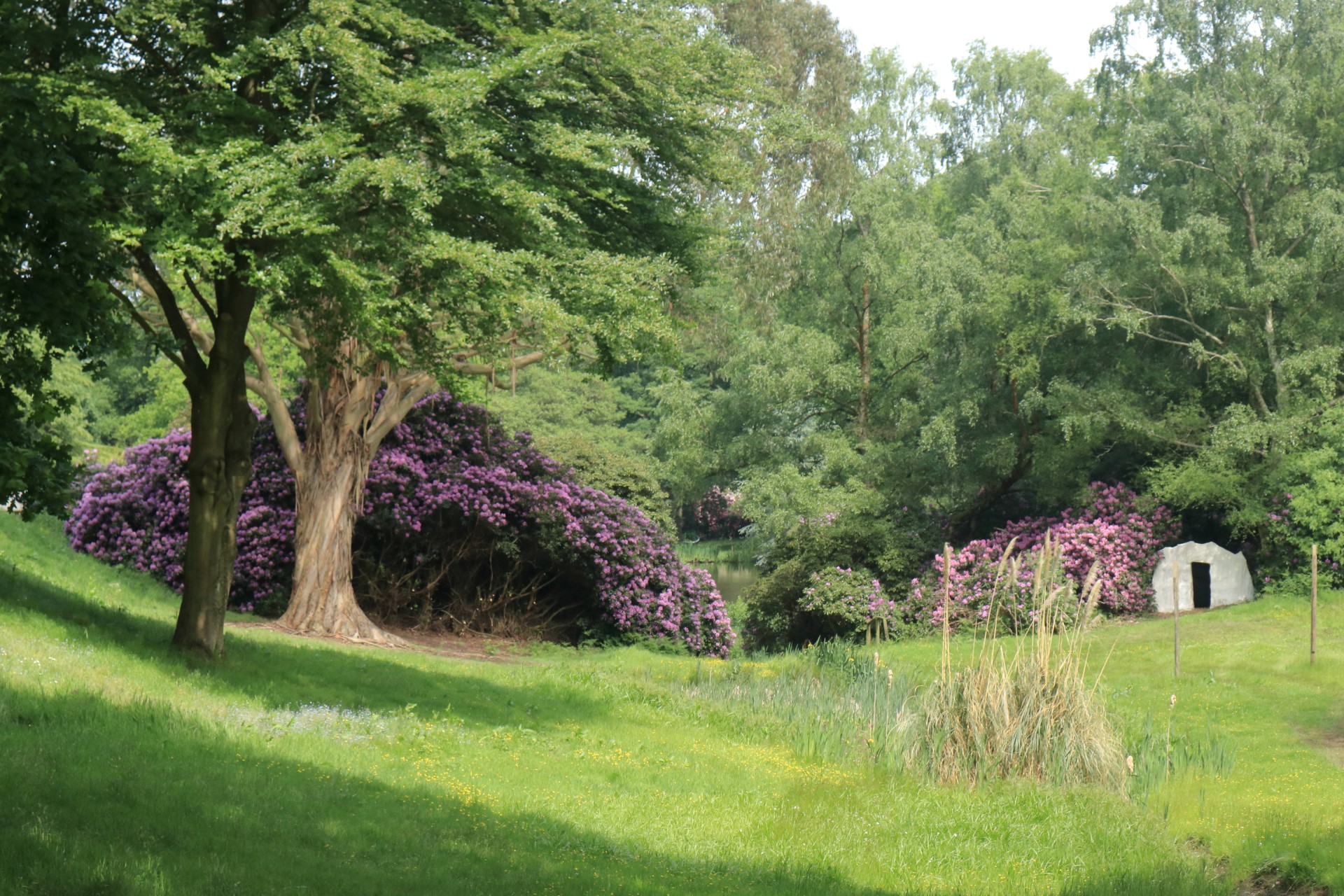
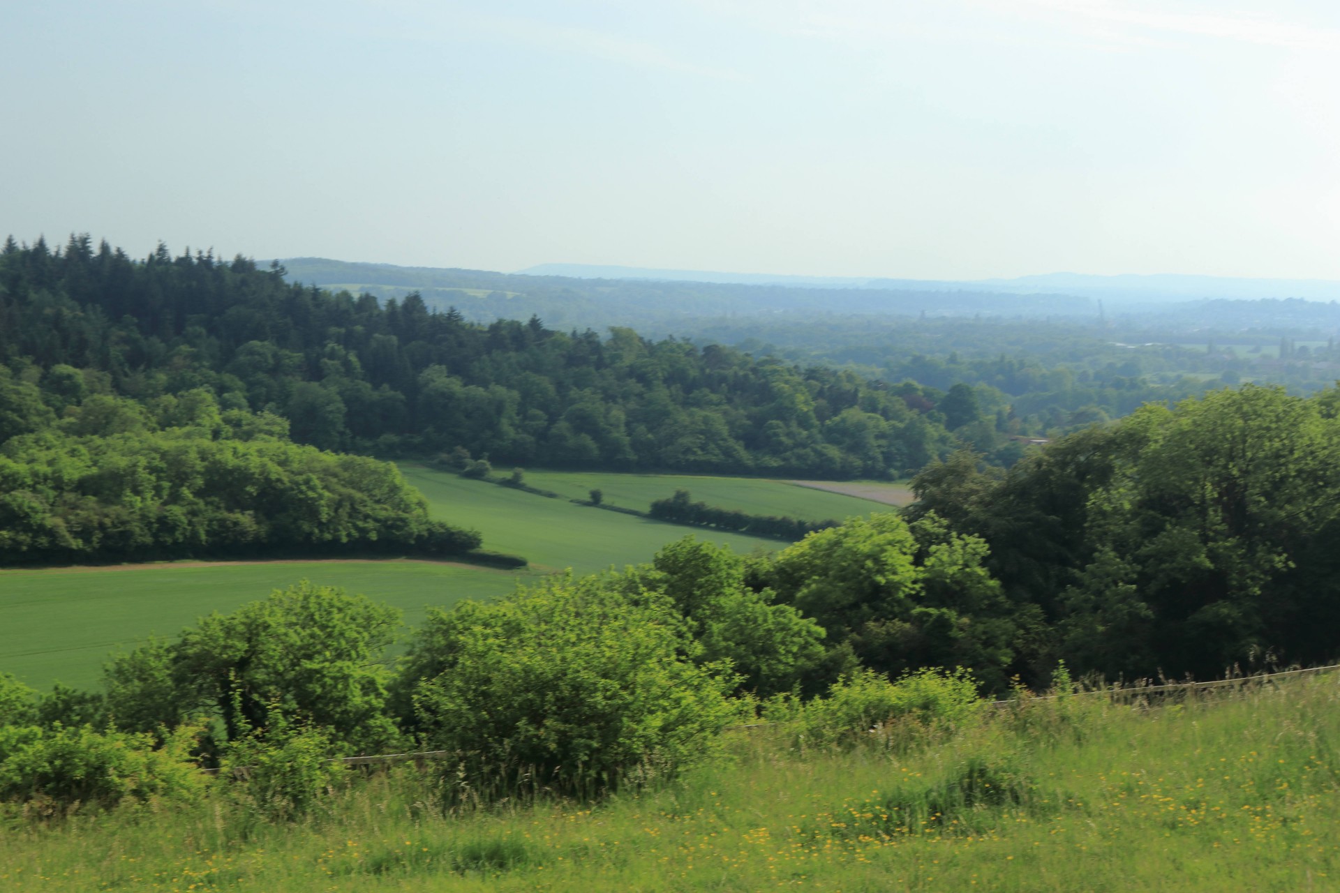
Thirteen people resisted the attractions of the Cinque Ports 100 and the beach on a Bank Holiday weekend to assemble at Guildford Station for a 22 mile walk in the Surrey Hills. We set out along the Wey before going through Shalford and climbing Chinthurst Hill. We continued through Bramley to climb up through Winkworth Arboretum with the azaleas in full bloom. Next we went across the slopes of Hydon's Ball to a welcome late lunch stop in the White Horse at Hascombe and/or a picnic by the pond. The sun shone all afternoon as we followed the Greensand Way for a time, then passed the Gunpowder Mills near Chilworth before climbing Pewley Down and returning to Guildford Station.
Photographs by Gavin Fuller; more by Gavin on the group Facebook site
Other Files
Download Walk ReportGPX
A GPX file of the above route may be downloaded by clicking the link below.
Note: GPX files of Group Walks are created by LDWA Group members, and may be downloaded only by other LDWA members. They should not be made available outside the LDWA, and are used at members' own risk.
Login to Download (Members Only)You can use the interactive controls to zoom in and out and to move around the map, or click on a path or a marker for more info. (interactive map help)
You can use the interactive controls to zoom in and out and to move around the map, or click on a path or a marker for more info. (interactive map help)
© OpenStreetMap contributors under Open Database Licence
Rights of way data from selected Local Authorities
Large scale digital mapping is provided by John Thorn
At high zoom levels the route is indicative only.
Gallery


Maps:
You can use the interactive controls to zoom in and out and to move around the map, or click on a marker for more info. (interactive map help)
© OpenStreetMap contributors under Open Database Licence.
Rights of way data from selected Local Authorities.
Large scale digital mapping is provided by John Thorn.


