
The Lyde Wake Walk
Sun 29th Apr 2018
Walk Details:
Event Type
Group Walk
Region
Southern England
Local Group
Thames Valley
Distance
c21ml.
Start Time
09.00
Route
Cadmore End
General Notes
A long loop to Bledlow (Old Eng. Bledda's Resting Place) hopefully with lunch stop at the Lyde Garden. Out via Studley Green and Radnage and back past Saunderton and West Wycombe
Web Site
Start and Finish
Entry Details:
Cost
Walk Report
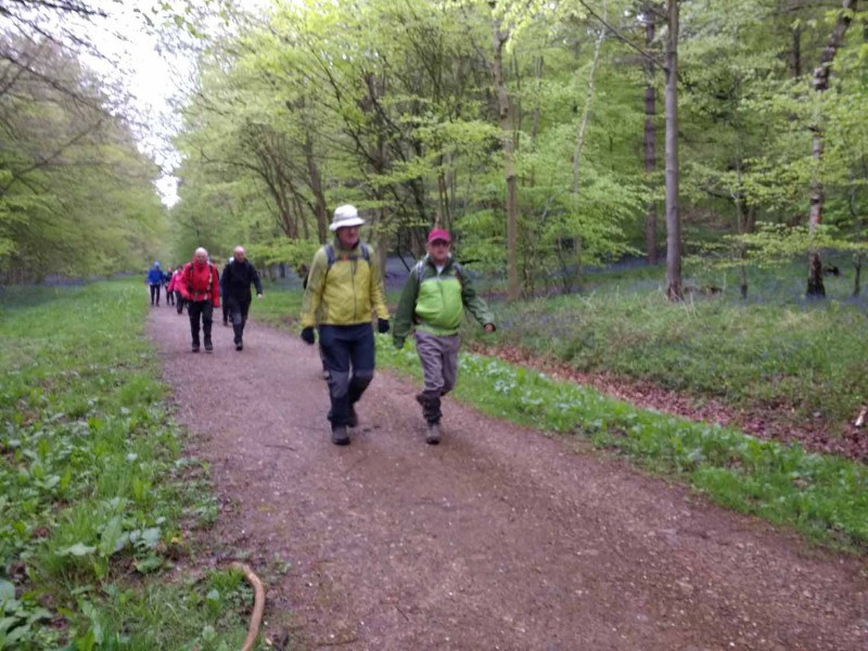
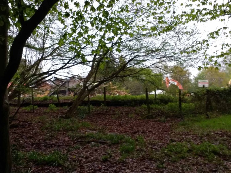
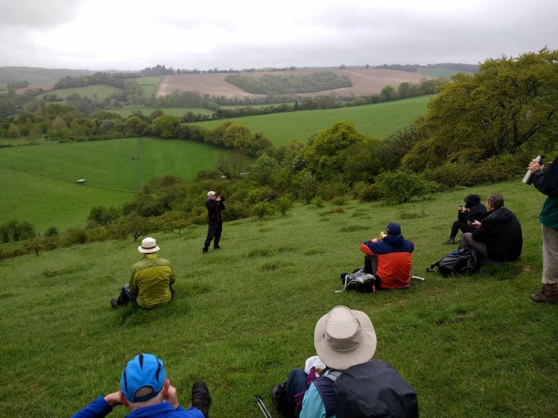
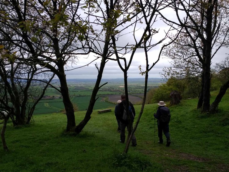
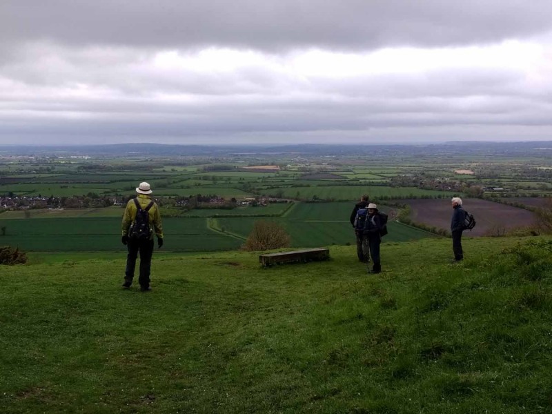
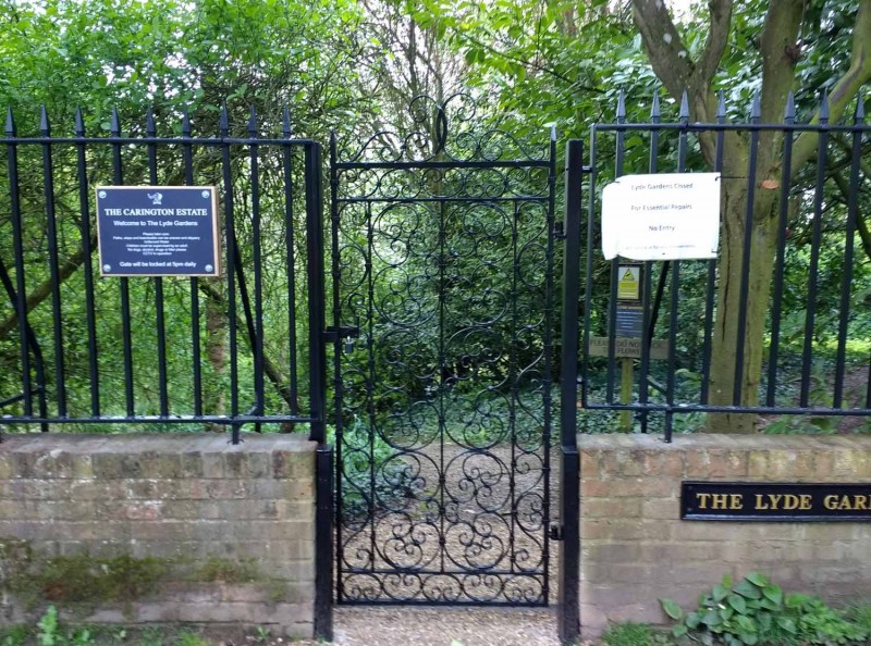
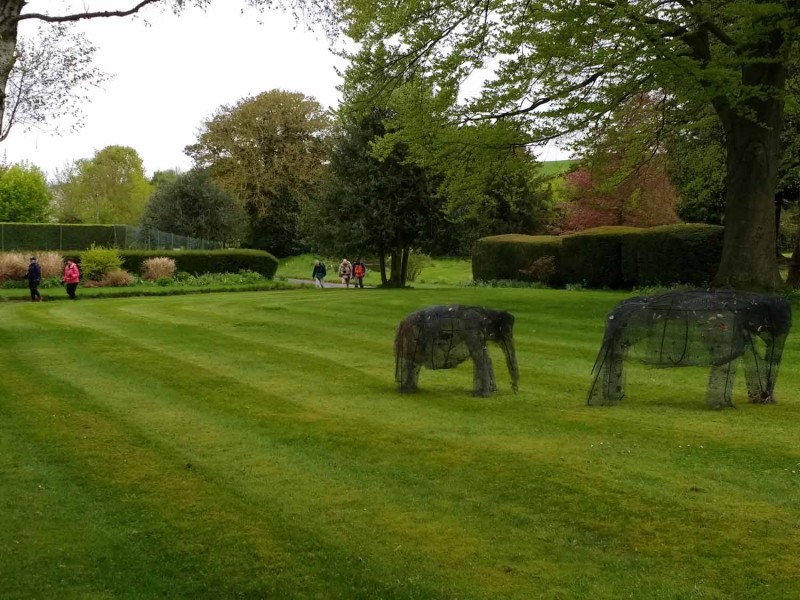
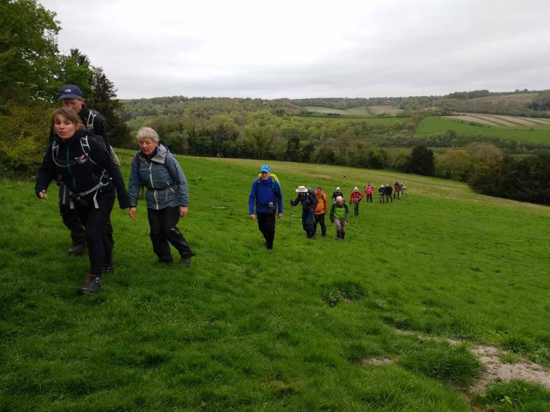
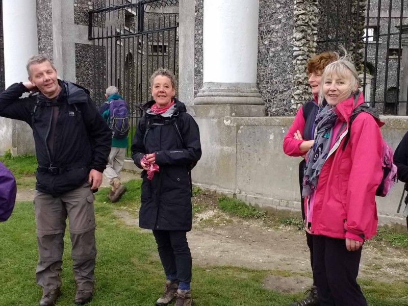
Named rather contrivedly after the Lyde Garden, Bledlow, and the final resting place of Bledda, the village's Anglo-Saxon origin, this walk was an elongated loop from Cadmore End to Bledlow and back. It went out via Horsley's Green and the Yoesden Nature Reserve to Bledlow Great Wood and Chinnor Hill to a lunch stop at the garden (not "in", as it was still shut for long-term restoration after damage!). The return route featured a long ridge walk above Saunderton, Bradenham Woods and an optional climb to the mausoleum at West Wycombe: even at this late stage in a relatively long and hilly social walk the option was accepted. The walk also went past both the old Wycliffe Centre, being demolished, and the new one, temporary as it has turned out, at Saunderton. Despite unpromising weather It was another keen turn-out of 26 people including from other local groups.Photos and text by Helen Abbott.
Other Files
GPX
A GPX file of the above route may be downloaded by clicking the link below.
Note: GPX files of Group Walks are created by LDWA Group members, and may be downloaded only by other LDWA members. They should not be made available outside the LDWA, and are used at members' own risk.
Login to Download (Members Only)You can use the interactive controls to zoom in and out and to move around the map, or click on a path or a marker for more info. (interactive map help)
You can use the interactive controls to zoom in and out and to move around the map, or click on a path or a marker for more info. (interactive map help)
Contains Ordnance Survey data © Crown copyright and database right 2016.
© OpenStreetMap contributors under Open Database Licence
Rights of way data from selected Local Authorities
Large scale digital mapping is provided by John Thorn
At high zoom levels the route is indicative only.
© OpenStreetMap contributors under Open Database Licence
Rights of way data from selected Local Authorities
Large scale digital mapping is provided by John Thorn
At high zoom levels the route is indicative only.
Gallery
Maps:
You can use the interactive controls to zoom in and out and to move around the map, or click on a marker for more info. (interactive map help)
Contains Ordnance Survey data © Crown copyright and database right 2016.
© OpenStreetMap contributors under Open Database Licence.
Rights of way data from selected Local Authorities.
Large scale digital mapping is provided by John Thorn.
© OpenStreetMap contributors under Open Database Licence.
Rights of way data from selected Local Authorities.
Large scale digital mapping is provided by John Thorn.


