
West Berks Knobs
Wed 7th Mar 2018
Walk Details:
Event Type
Group Walk
Region
Southern England
Local Group
Thames Valley
Distance
c16ml.
Start Time
09.30
Route
Recreation ground CP, Boham's Road, Blewbury
General Notes
West Ilsley, Catmore, Chilton
Web Site
Start and Finish
Entry Details:
Cost
Walk Report
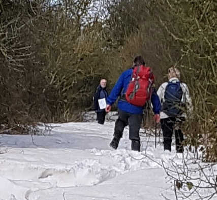
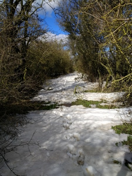
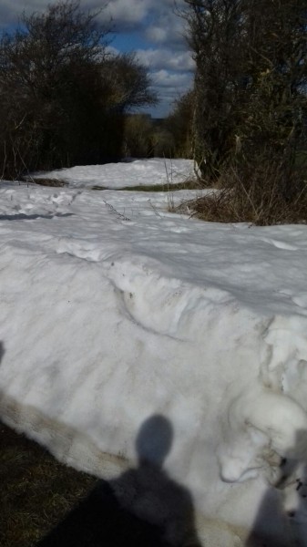
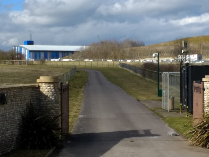
With the fond belief that the snow of the previous week had melted in our area, 11 walkers set off on a bright Wednesday morning from Blewbury. After a long incline, we could see Churn Knob on our left at the end of a permitted path announced by a sign bearing a coat of arms and the motto "numquam tendere cessa"; none of us could remember our Latin lessons from the last century, but the Internet provided a translation: "I never cease to strive". Once over a dismantled railway and a large field system, we crossed the A34 to descend to West Ilsley for a break in the sun.A long path through woods led to Catmore and then north over a track with the first signs that snow survived in this area. On what should have been a relaxing saunter down a restricted byway to Land's End we struggled for a stretch through knee-deep snow before walking in the adjacent field. (A wise decision since the snow later became waist-deep.)
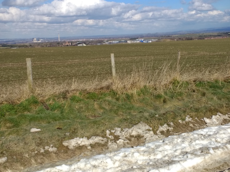
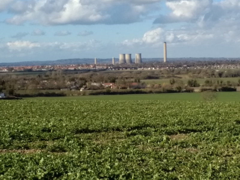
After lunch (sunny but with a cold wind) we made the long trek up to Scutchamer Knob. A brief excursion along the Ridgeway gave a view of both Didcot and part of the Harwell Campus before descending past what looked like a back entrance to the Rutherford Appleton Laboratory, into Chilton, where we had a brief drink stop.
From there it was open fields, with a final view of Didcot, all the way back to the cars.
Photos by Chris Lloyd, Christine Harvey, Graham Croucher.
Other Files
GPX
A GPX file of the above route may be downloaded by clicking the link below.
Note: GPX files of Group Walks are created by LDWA Group members, and may be downloaded only by other LDWA members. They should not be made available outside the LDWA, and are used at members' own risk.
Login to Download (Members Only)You can use the interactive controls to zoom in and out and to move around the map, or click on a path or a marker for more info. (interactive map help)
You can use the interactive controls to zoom in and out and to move around the map, or click on a path or a marker for more info. (interactive map help)
Contains Ordnance Survey data © Crown copyright and database right 2016.
© OpenStreetMap contributors under Open Database Licence
Rights of way data from selected Local Authorities
Large scale digital mapping is provided by John Thorn
At high zoom levels the route is indicative only.
© OpenStreetMap contributors under Open Database Licence
Rights of way data from selected Local Authorities
Large scale digital mapping is provided by John Thorn
At high zoom levels the route is indicative only.
Gallery
Maps:
You can use the interactive controls to zoom in and out and to move around the map, or click on a marker for more info. (interactive map help)
Contains Ordnance Survey data © Crown copyright and database right 2016.
© OpenStreetMap contributors under Open Database Licence.
Rights of way data from selected Local Authorities.
Large scale digital mapping is provided by John Thorn.
© OpenStreetMap contributors under Open Database Licence.
Rights of way data from selected Local Authorities.
Large scale digital mapping is provided by John Thorn.


