


Midsummer 'Challenge': Sunrise to Sunset along Thames Path
Sat 23rd Jun 2018
Walk Details:
Follow Thames Path upstream as far as we can get by sunset (21.22) probably Weybridge but earlier drop-outs available near stations
Entry Details:
Walk Report
Midsummer Sunrise to Sunset Challenge Walk, Saturday 24th June 20176 walkers, 41 miles - leader Colin Saunders
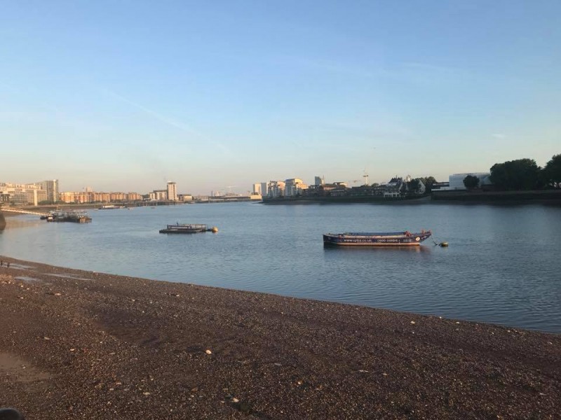
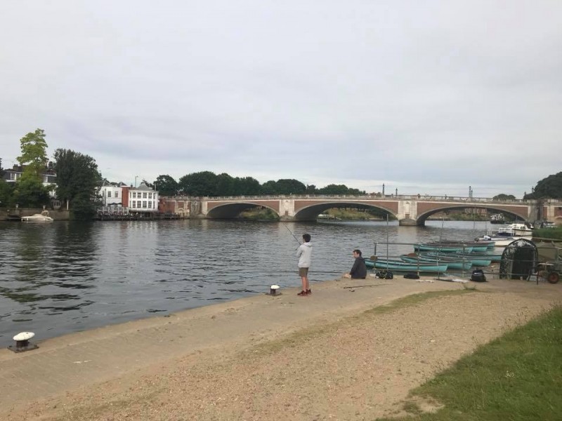
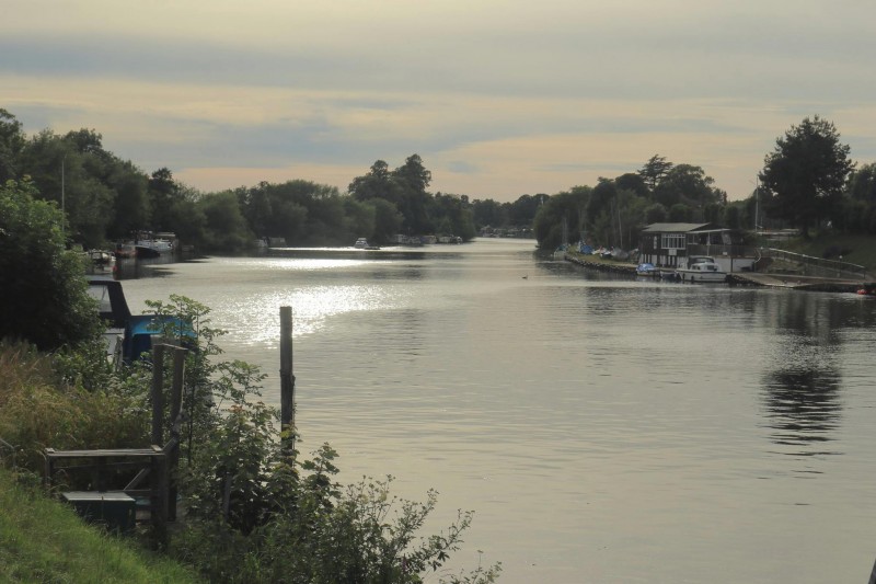
On Saturday 24 June (Midsummer Day), six people joined me at sunrise (04.44) at North Greenwich station, which for me counted as a resounding success - I didn't think anyone else would be mad enough and had been fully prepared to walk alone. The others were Gavin Adlington, Maria Cascella, Linda Pan, Francis Thomason and Julie Welch, and we collected Ron Williamson at Tower Bridge. It turned out to be a sort of luxury version of a challenge walk, with quite lengthy stops for breakfast at the Lord Moon of the Mall in Whitehall and morning coffee at the Rocket by Putney Bridge (both Wetherspoons), the Greyhound near Kew Bridge for a pub lunch and a kiosk in Canbury Gardens, Kingston, for afternoon tea and cake. However, a good pace was kept up in between. There was some excitement at Richmond where an abnormally high tide had flooded the riverside - some of us adventurously waded through in bare feet while the others made a diversion. Unfortunately Ron had to retire unwell there, then Maria at Hampton Court with a bad ankle. The rest of us made it by sunset (21.22) to a pub on the outskirts of Weybridge at 41 miles, for taxi to the station, while Francis had pushed on ahead to reach Weybridge station itself at 42 miles. Everyone agreed that it had been a remarkable experience and should become an annual event.
Photographs by Julie Welch
Other Files
Download Walk ReportGPX
A GPX file of the above route may be downloaded by clicking the link below.
Note: GPX files of Group Walks are created by LDWA Group members, and may be downloaded only by other LDWA members. They should not be made available outside the LDWA, and are used at members' own risk.
Login to Download (Members Only)You can use the interactive controls to zoom in and out and to move around the map, or click on a path or a marker for more info. (interactive map help)
You can use the interactive controls to zoom in and out and to move around the map, or click on a path or a marker for more info. (interactive map help)
© OpenStreetMap contributors under Open Database Licence
Rights of way data from selected Local Authorities
Large scale digital mapping is provided by John Thorn
At high zoom levels the route is indicative only.
Gallery
Maps:
You can use the interactive controls to zoom in and out and to move around the map, or click on a marker for more info. (interactive map help)
© OpenStreetMap contributors under Open Database Licence.
Rights of way data from selected Local Authorities.
Large scale digital mapping is provided by John Thorn.


