


Chilterns & Bedfordshire Countryside
Sat 5th May 2018
Walk Details:
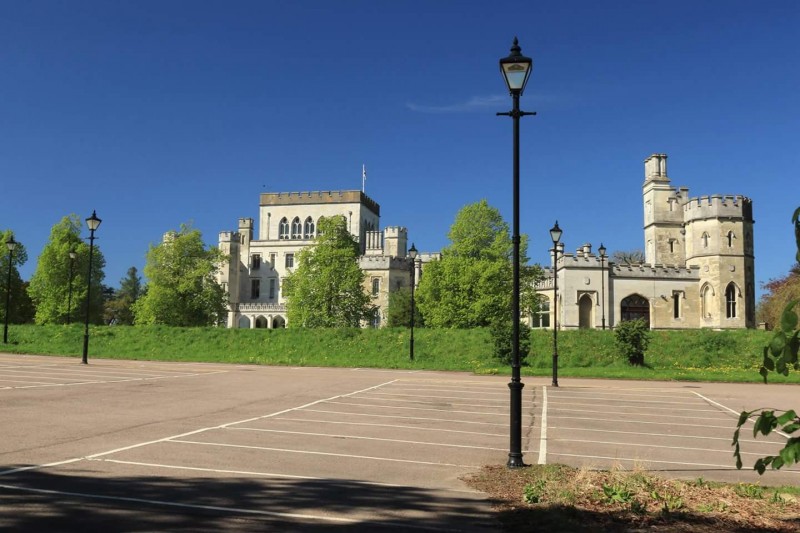
Hike visits Berkhamsted Castle & Common, Whipsnade Zoo, Tree Cathedral, Ivinghoe Beacon, Aldbury Common, Ashridge Hult business school & Bridgewater Monument
Entry Details:
Walk Report
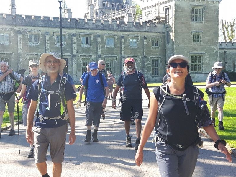
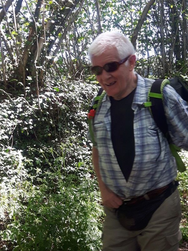
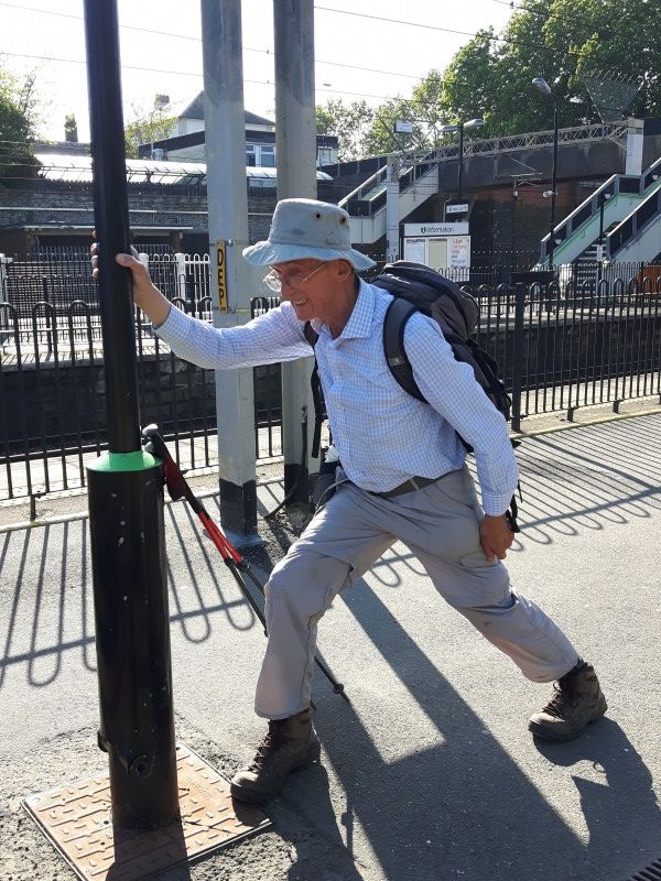
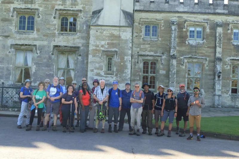
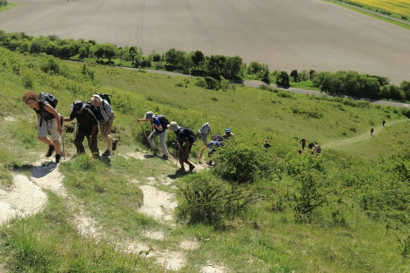
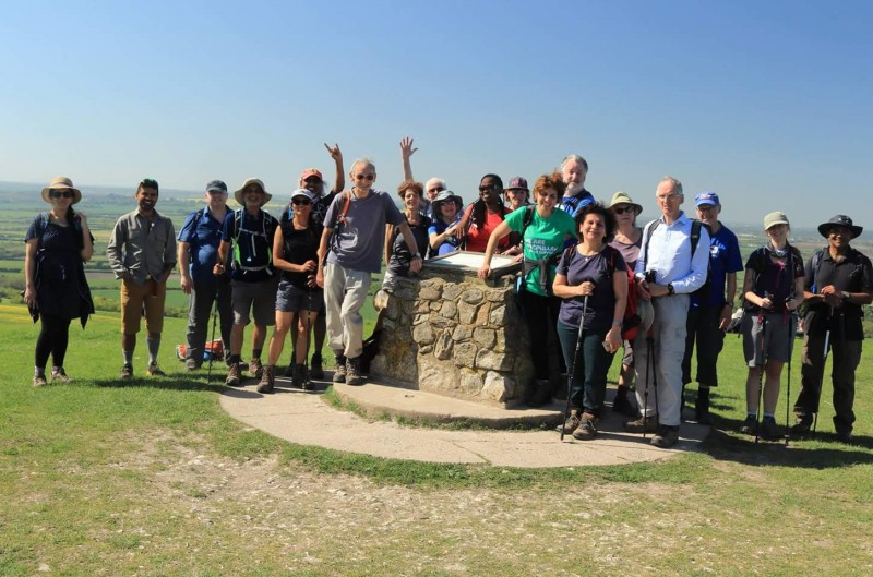
Chilterns and Bedfordshire Countryside, Saturday 5th May 201824 walkers, 20 miles - leader Bola Baruwa
Here we go....... 24 of us - we came, we walked and went homeÃÆÃâÃâðÃÆââ¬Â¦ÃâøÃÆââ¬Â¹Ãâ¦Ã¢â¬ÅÃÆââ¬Â '
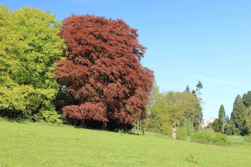
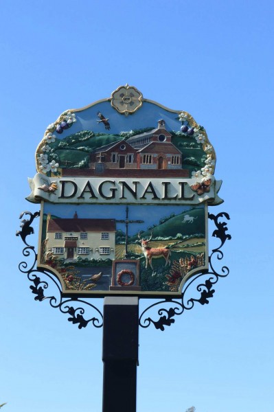
24 of participants including me, enjoyed a pleasant social walk. The 20 miles started from Berkhamsted station and finished in Tring stn. We walked through Berkhamsted common, Ashridge Estate, Gadsden and Ivinghoe.
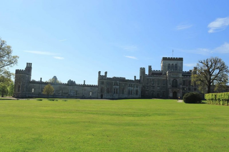
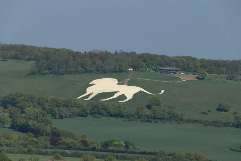
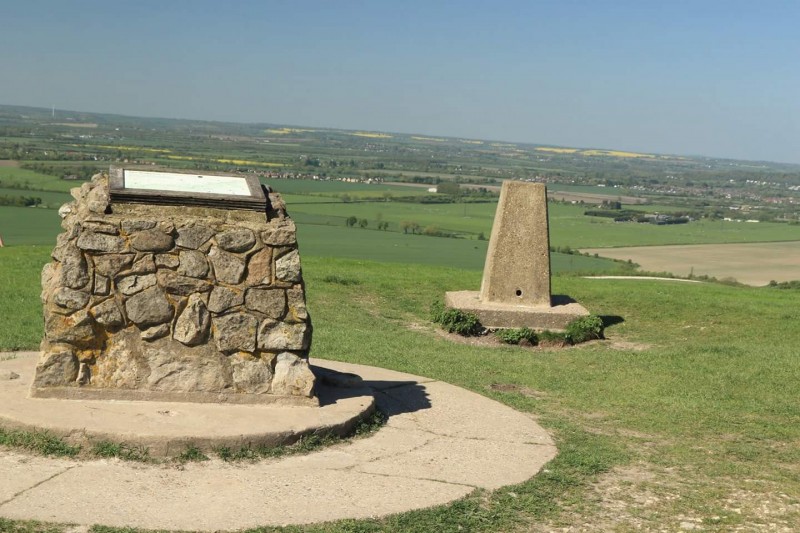
Points of interest were remnant of Berkhamsted Castle, Hult Ashridge International Business school, little Gadsden church, Whipsnade Zoo, Ivinghoe Beacon & Bridgewater monument.
Photographs by Bola Baruwa and Gavin Fuller; more by Bola and Gavin on the group Facebook page
Other Files
Download Walk ReportGPX
A GPX file of the above route may be downloaded by clicking the link below.
Note: GPX files of Group Walks are created by LDWA Group members, and may be downloaded only by other LDWA members. They should not be made available outside the LDWA, and are used at members' own risk.
Login to Download (Members Only)You can use the interactive controls to zoom in and out and to move around the map, or click on a path or a marker for more info. (interactive map help)
You can use the interactive controls to zoom in and out and to move around the map, or click on a path or a marker for more info. (interactive map help)
© OpenStreetMap contributors under Open Database Licence
Rights of way data from selected Local Authorities
Large scale digital mapping is provided by John Thorn
At high zoom levels the route is indicative only.
Gallery
Maps:
You can use the interactive controls to zoom in and out and to move around the map, or click on a marker for more info. (interactive map help)
© OpenStreetMap contributors under Open Database Licence.
Rights of way data from selected Local Authorities.
Large scale digital mapping is provided by John Thorn.


