


Guildford circular
Sat 28th Apr 2018
Walk Details:
A walk taking in the delights of the Surrey Hills area. * UPDATE: River Wey navigation to Send, then cross country to West Horsley for lunch (over half way, about 4 hrs). Afternoon is south to North Downs Way and back to Guildford via St Martha's.
Entry Details:
Walk Report
Guildford Circular, Saturday 28th April 201810 walkers, 23 miles - leader Andy Shoesmith
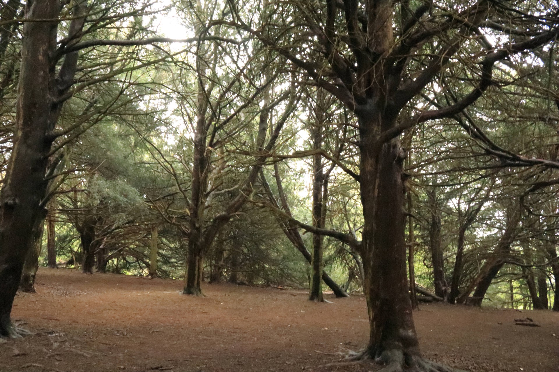
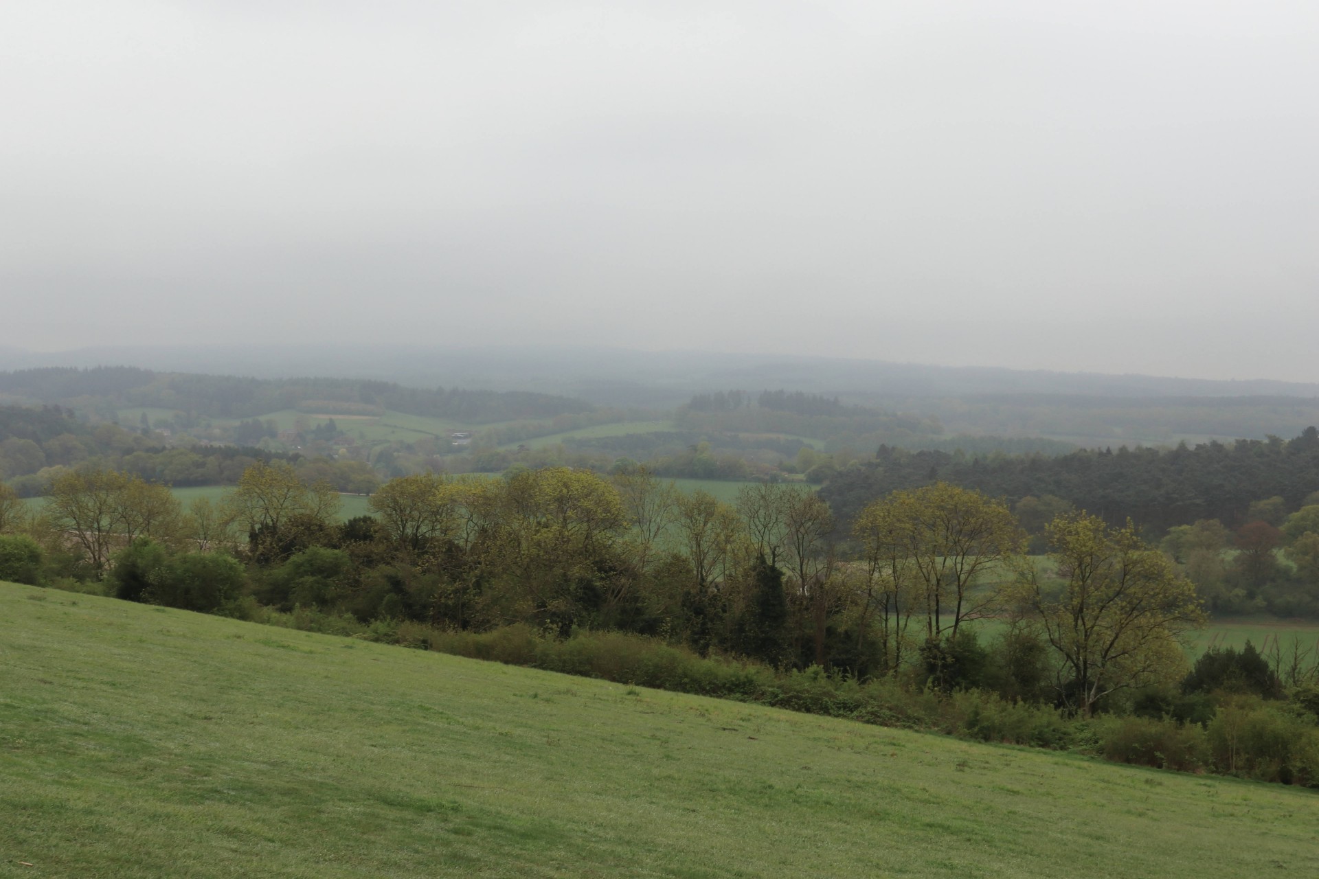
We had 10 walkers, who all made it round. Turned out to be about 23 miles. Grey day, but no rain, but plenty of mud in sections. Also lots of bluebells!
Photographs by Gavin Fuller; more by Gavin on the Group Facebook page
Other Files
Download Walk ReportGPX
A GPX file of the above route may be downloaded by clicking the link below.
Note: GPX files of Group Walks are created by LDWA Group members, and may be downloaded only by other LDWA members. They should not be made available outside the LDWA, and are used at members' own risk.
Login to Download (Members Only)You can use the interactive controls to zoom in and out and to move around the map, or click on a path or a marker for more info. (interactive map help)
You can use the interactive controls to zoom in and out and to move around the map, or click on a path or a marker for more info. (interactive map help)
© OpenStreetMap contributors under Open Database Licence
Rights of way data from selected Local Authorities
Large scale digital mapping is provided by John Thorn
At high zoom levels the route is indicative only.
Gallery


Maps:
You can use the interactive controls to zoom in and out and to move around the map, or click on a marker for more info. (interactive map help)
© OpenStreetMap contributors under Open Database Licence.
Rights of way data from selected Local Authorities.
Large scale digital mapping is provided by John Thorn.


