


Haywards Heath to Three Bridges
Sat 21st Apr 2018
Walk Details:
Linear walk from Haywards Heath to Three Bridges
Entry Details:
Walk Report
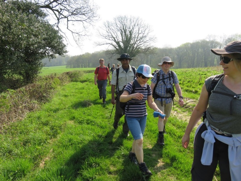
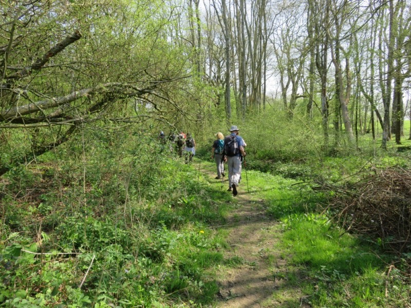
Haywards Heath to Three Bridges, Saturday 21st April 201810 walkers, 20 miles - leader Peter Buchwald
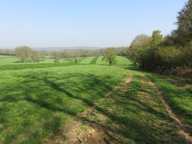
A gallimaufry of ancient woodland
Interspersed with grass meadows
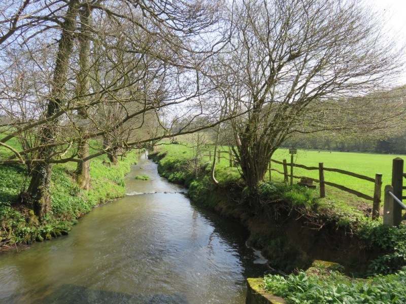
Rivers ruining red with oxide of iron
Viridiaian grass on the brown earth.
Bluebells and primroses in flower
Gave colour to the forest floor
Old hammer ponds shimmered
Between the trunks of ancient trees.
Forges once used the wood and water
Fashioning guns and ploughshares
From the locally produced iron ore
These forests now stand silently
In memory of an ancient industry
Once common among these forest groves.
Photographs by Peter Buchwald; more by Gavin Fuller on the group Facebook page
Other Files
Download Walk ReportGPX
A GPX file of the above route may be downloaded by clicking the link below.
Note: GPX files of Group Walks are created by LDWA Group members, and may be downloaded only by other LDWA members. They should not be made available outside the LDWA, and are used at members' own risk.
Login to Download (Members Only)You can use the interactive controls to zoom in and out and to move around the map, or click on a path or a marker for more info. (interactive map help)
You can use the interactive controls to zoom in and out and to move around the map, or click on a path or a marker for more info. (interactive map help)
© OpenStreetMap contributors under Open Database Licence
Rights of way data from selected Local Authorities
Large scale digital mapping is provided by John Thorn
At high zoom levels the route is indicative only.
Gallery
Maps:
You can use the interactive controls to zoom in and out and to move around the map, or click on a marker for more info. (interactive map help)
© OpenStreetMap contributors under Open Database Licence.
Rights of way data from selected Local Authorities.
Large scale digital mapping is provided by John Thorn.


