


!!! WALK COMPLETELY REARRANGED!!! Sevenoaks REPLACES Inkpen
Sat 24th Mar 2018
Walk Details:
Event Details Updated
Update 10/1
The "Inkpen" route advertised in "Strider" has had to be completely rearranged because of travel and pub problems on the original walk. The walk details shown here are for the NEW WALK AND COMPLETELY REPLACE those shown in "Strider"
Event Type
Group Walk
Region
Southern England
Local Group
London
Distance
20ml.
Start Time
08.49
Route
Start and finish Sevenoaks station (London Bridge 8.22)
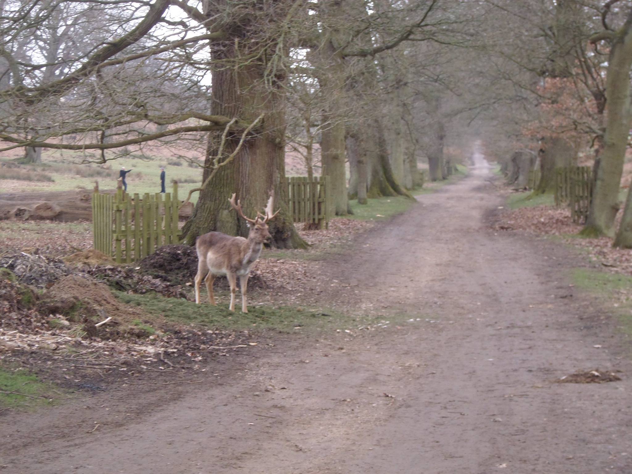
Circular 20 mile walk from Sevenoaks station, exploring Darent valley and wooded hillsides around the North Downs
General Notes
Lunch at the Crown Inn Shoreham or picnic by the river
Web Site
Start and Finish
Entry Details:
Cost
Walk Report
Sevenoaks Circular, Saturday 24th March 20189 walkers, 21 miles - leader Jerome Ripp
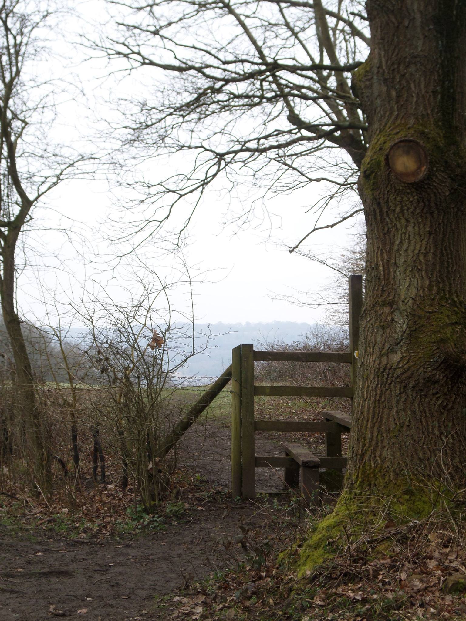
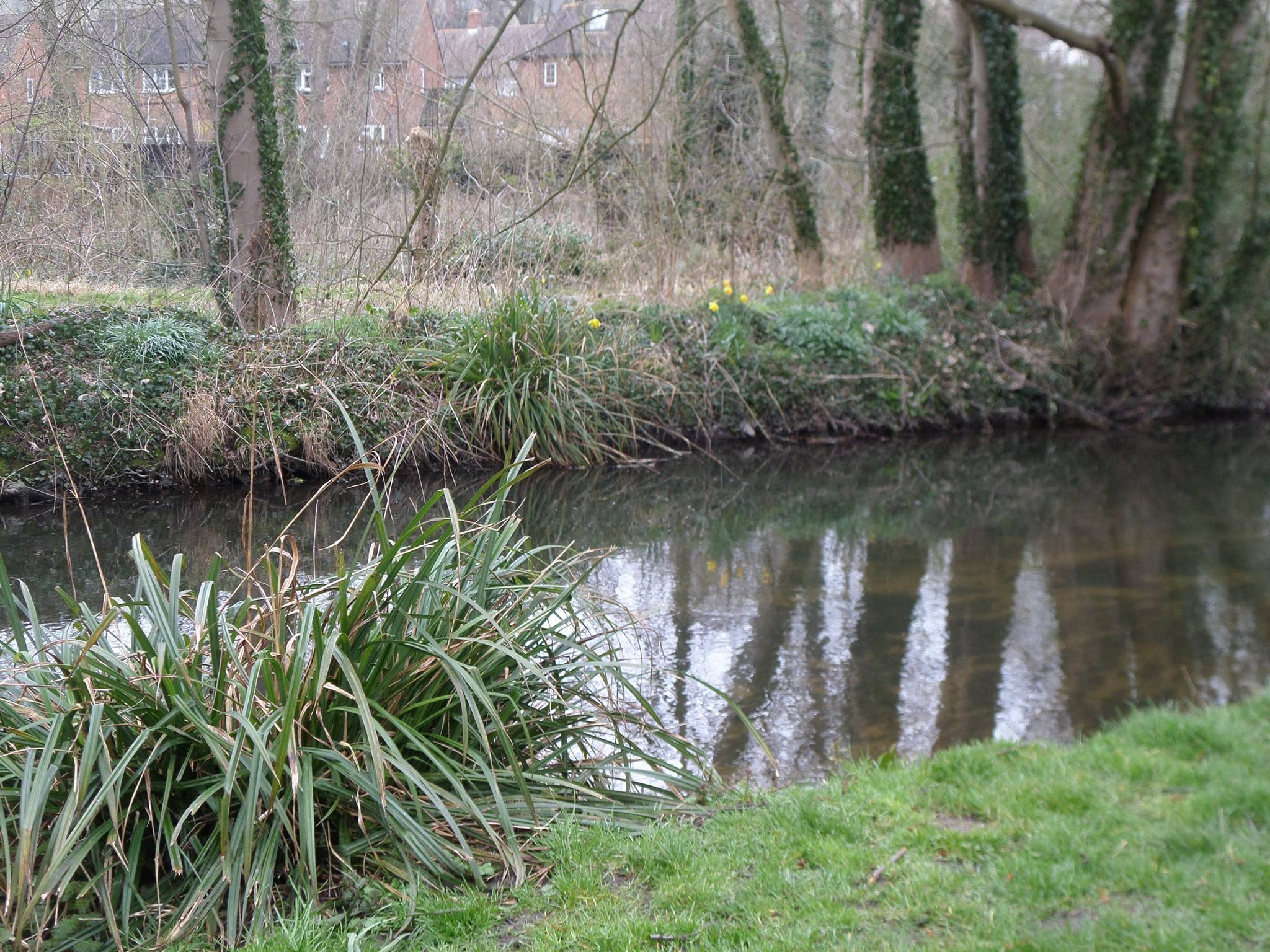
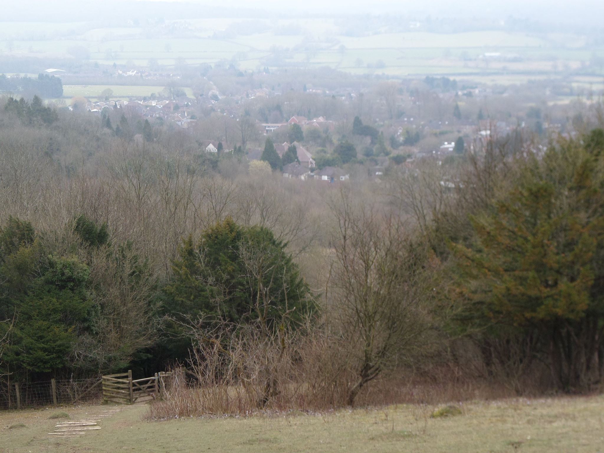
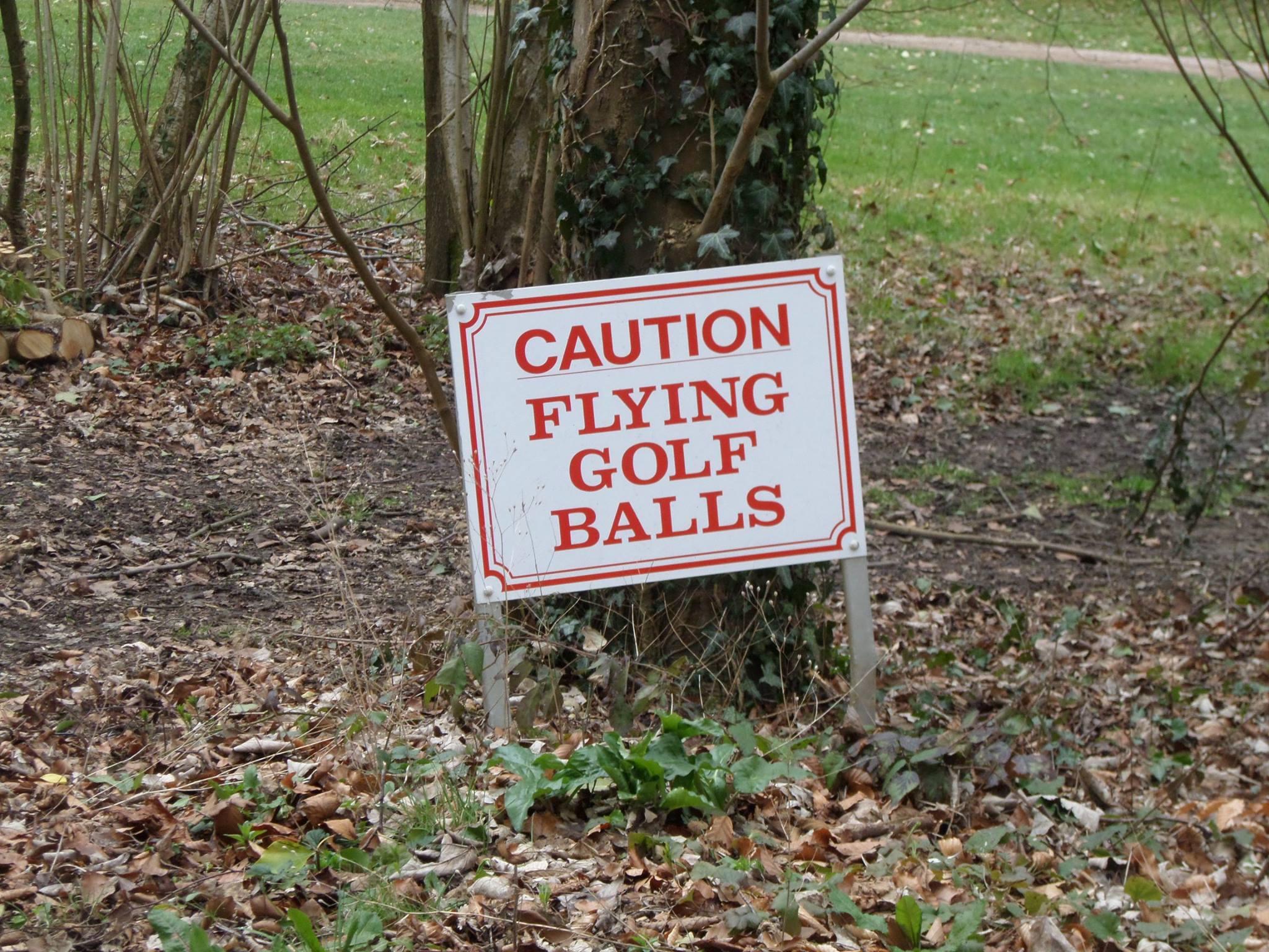
A mild if cloudy spring day for a hilly (800 metres ascent) route, mainly to north of town; Darent valley path lead to North Downs and a break at Knockholt. The long wooded ridges above the Darent took us into Shoreham for a picnic lunch by the river and one of the group departed north which saved the leader the trouble of losing the required 10%. East into the remote area of an abandoned golf course with a loop around the appropriately named Round Hill to the promised pub at Romney Street. Despite being on the new map, it had bitten the dust some 2 years ago so for liquid refreshment we pressed on through more hilly woods to the North Downs way and the glorious view above Kemsing. The Bell Inn was still alive and open for much needed refreshment and then down to Seal and a final section in the lovely Knole park before arriving back at Sevenoaks station which was fortunately in the same place as we had left it in the morning, just in time for a train. All well planned as usual by the leader!!
Photographs by Melissa Butcher; more by Melissa on the group Facebook site
Other Files
Download Walk ReportGallery
Maps:
You can use the interactive controls to zoom in and out and to move around the map, or click on a marker for more info. (interactive map help)
Contains Ordnance Survey data © Crown copyright and database right 2016.
© OpenStreetMap contributors under Open Database Licence.
Rights of way data from selected Local Authorities.
Large scale digital mapping is provided by John Thorn.
© OpenStreetMap contributors under Open Database Licence.
Rights of way data from selected Local Authorities.
Large scale digital mapping is provided by John Thorn.


