


!!!POP UP WALK: The Tring Ring
Sat 24th Jun 2017
Walk Details:
Event Details Updated
UPDATE 11/6
This is one of two pop-up walks on 24 June which replace the "Vikings and UFOs" walk which was to be held on this date, but which has had to be cancelled.
UPDATE 17/6
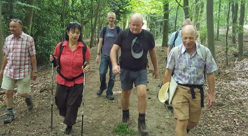
About half the walk is in shady woodlands which will be most welcome if this hot weather continues. 15 miles are in the hills, the last 5 miles are flat canal, reservoir walking. Wendover has 2 pubs, coffee bars and a chocolaterie or picnic in the park. Ice cream available in the woods mid afternoon. Probable finish 5-5.30 depending on conditions.
Event Type
Group Walk
Region
Southern England
Local Group
London
Distance
20ml.
Start Time
9.00
Route
Start and finish at Tring Station (take 08.24 from Euston)
A circular walk following the Ridgeway, Icknield way in the hills and woods and Grand Union canal
General Notes
Lunch in Wendover
Web Site
Start and Finish
Entry Details:
Cost
Walk Report
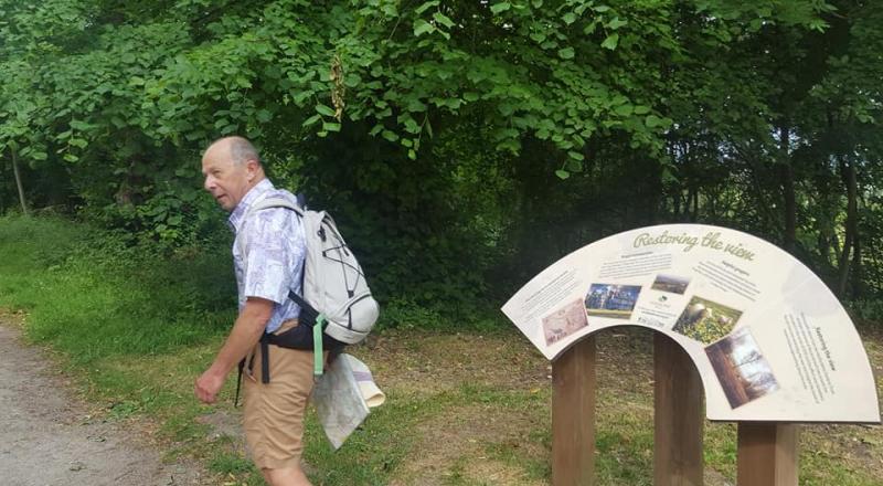
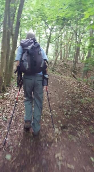
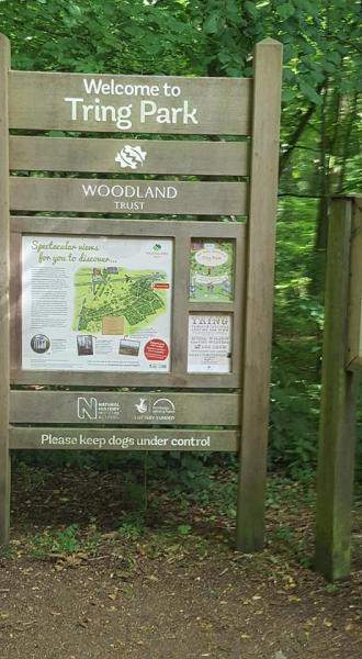
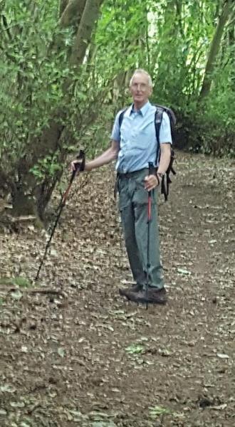
The "Tring Ring", Saturday 24th June 20177 walkers, 21 miles - leader Jerome Ripp
Start 09.00 Finish 17.23; 3 stiles; 900 feet of ascent.
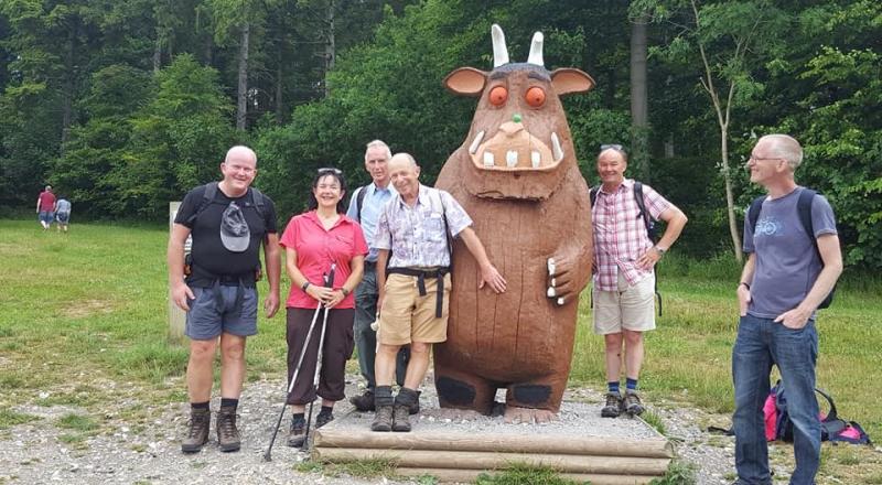
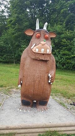
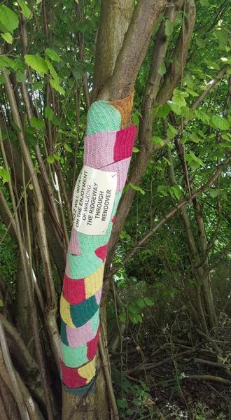
A cooler day after the recent heatwave gave us ideal walking conditions. The morning section followed the Ridgeway / Icknield Way with some glorious views over Tring park and beyond Tring to the northern Chilterns. We passed a few colourful signs warning that HS2 will destroy the idyllic beauty of this area. Lunch in Wendover provided a variety of options including a very good local coffee shop Rumsey's. The longer afternoon section contained several loops in the woods above Wendover leading to a refreshing drink/ice cream stop in the woods just beyond the "Gruffalo". Gradually descending from the hills with a spectacular view to Ivinghoe Beacon and then a final section beside quiet reflective waterways and reservoirs back to Tring station. A well-behaved group with no yo-yo in sight.
Photographs by Bola Baruwa
Other Files
Download Walk ReportGallery

Maps:
You can use the interactive controls to zoom in and out and to move around the map, or click on a marker for more info. (interactive map help)
Contains Ordnance Survey data © Crown copyright and database right 2016.
© OpenStreetMap contributors under Open Database Licence.
Rights of way data from selected Local Authorities.
Large scale digital mapping is provided by John Thorn.
© OpenStreetMap contributors under Open Database Licence.
Rights of way data from selected Local Authorities.
Large scale digital mapping is provided by John Thorn.


