


<<< POP UP! Golders Green to Stoke Newington
Fri 31st Mar 2017
Walk Details:
Event Type
Group Walk
Region
Southern England
Local Group
London
Distance
12ml.
Start Time
11.15
Route
Meet Golders Green Tube Station; finish Stoke Newington Station
Largely following route of the latter stages of Saturday's Capital Challenge.
General Notes
A very late recce or warm up for some of the later stages of the Capital Challenge or just an excuse for a good walk.
Refreshments in Highgate Woods and at Wetherspoons near to finish.
If early meet in Café Nero (Turn right at main road) for pre walk coffee after 10:30.
Web Site
Start
Finish
Entry Details:
Cost
Walk Report
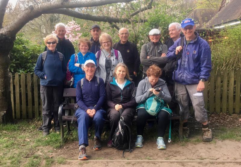
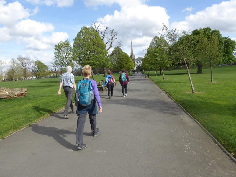
Golders Green to Stoke Newington, Friday 31st March 201714 walkers, 11 miles - leader Ron Williamson
A short notice mid-week pop up walk attracted 14 walkers eager to enjoy the delights of a further section of the Capital Challenge route, unfortunately the leaders mobile could not be found so apologies to those unable to make contact especially to Richard who finally met up with us at the finish.
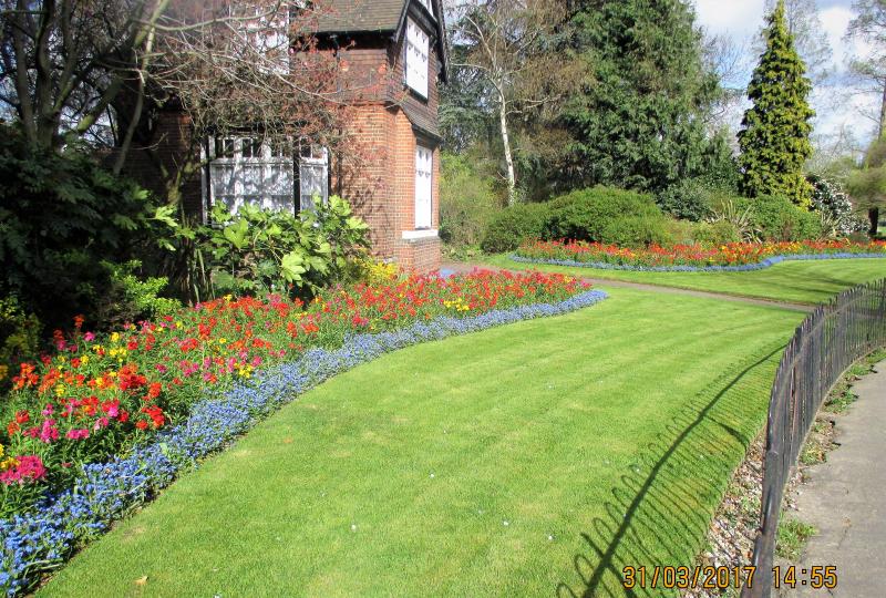
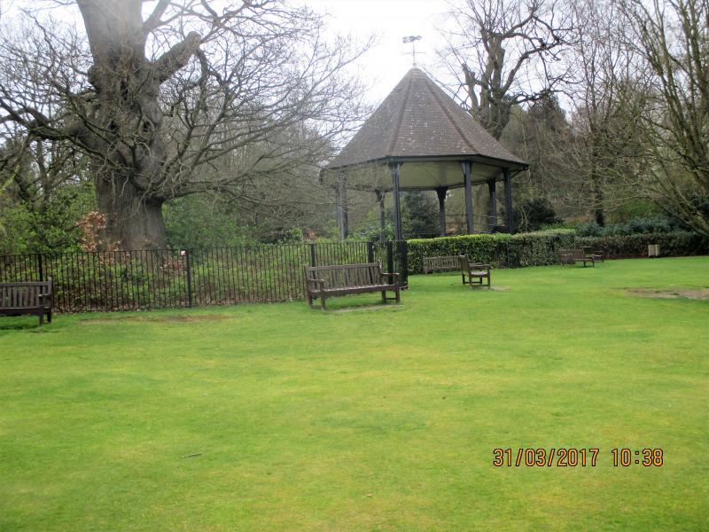
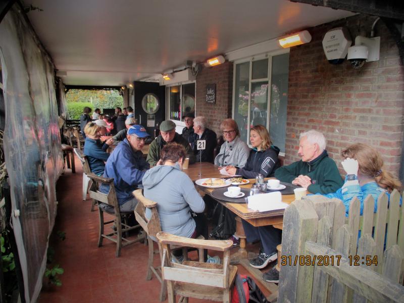
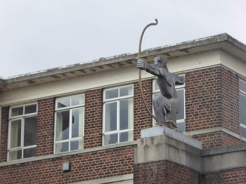
A short climb through the delightful Golders Hill Park enabled us to join the route at The Old Bull & Bush. We soon reached the immaculate Hampstead Garden Suburb and after passing through the not so Big Wood continued along Dollis Brook to reach East Finchley. As promised in the route description "The Archer" pointed the way through Cherry Tree Wood and on into Highgate Wood where the second debacle of the day occurred, a planned 30 minute refreshment break at the Cafe lasting almost one and half hours, surely some of the slowest service ever encountered on a LDWA walk.
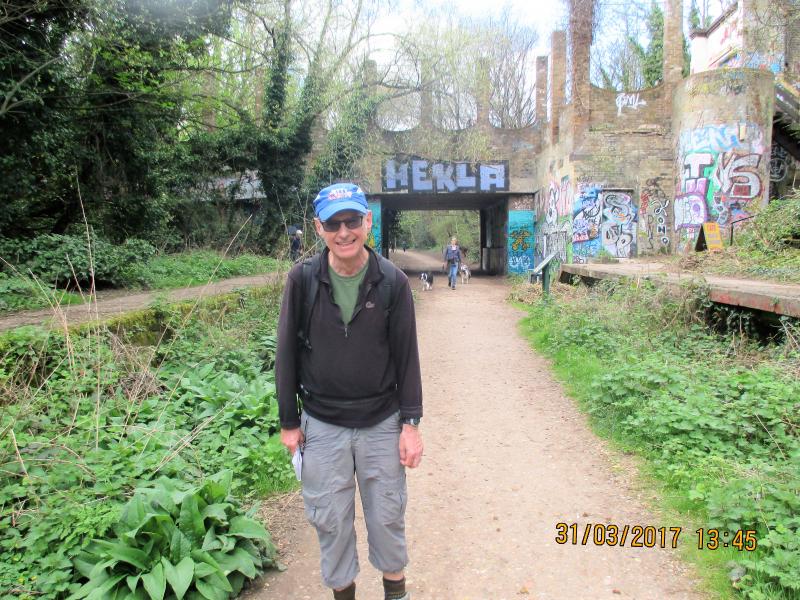
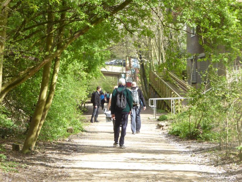
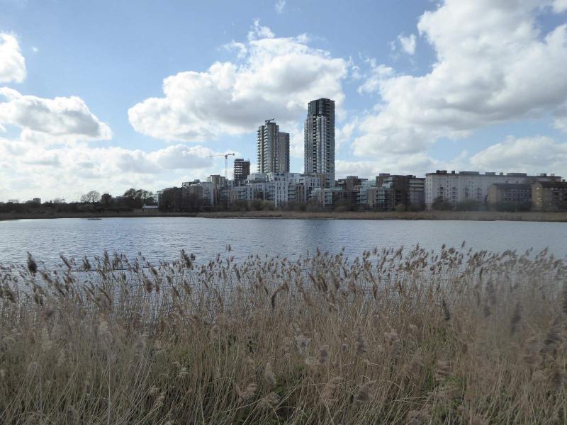
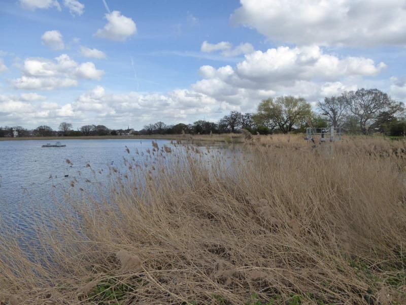
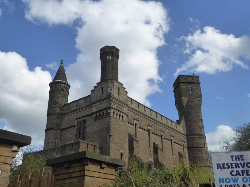
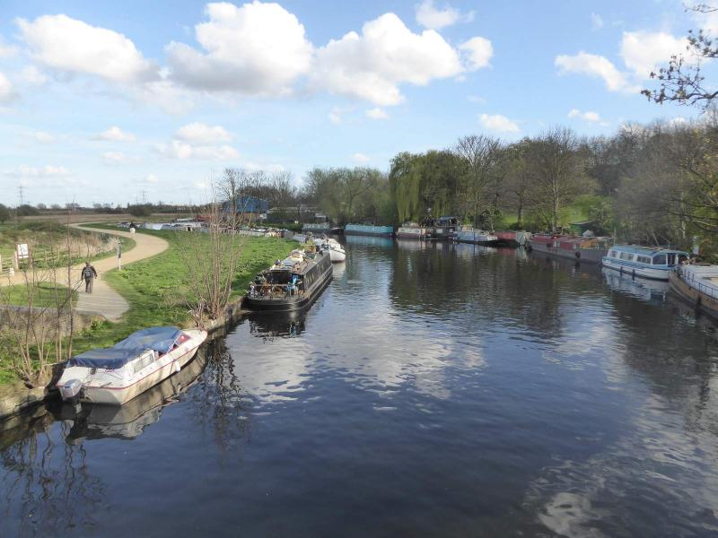
A need therefore to up the pace and where better than the hills climbing to Highgate through Queens Wood and along the straight level abandoned former railway line now London's longest nature reserve. Finchley Park came and went, no chance of a stop here, along the New River, where mercifully the mud of a month ago had dried up and into the wide skies of Woodberry Wetlands.
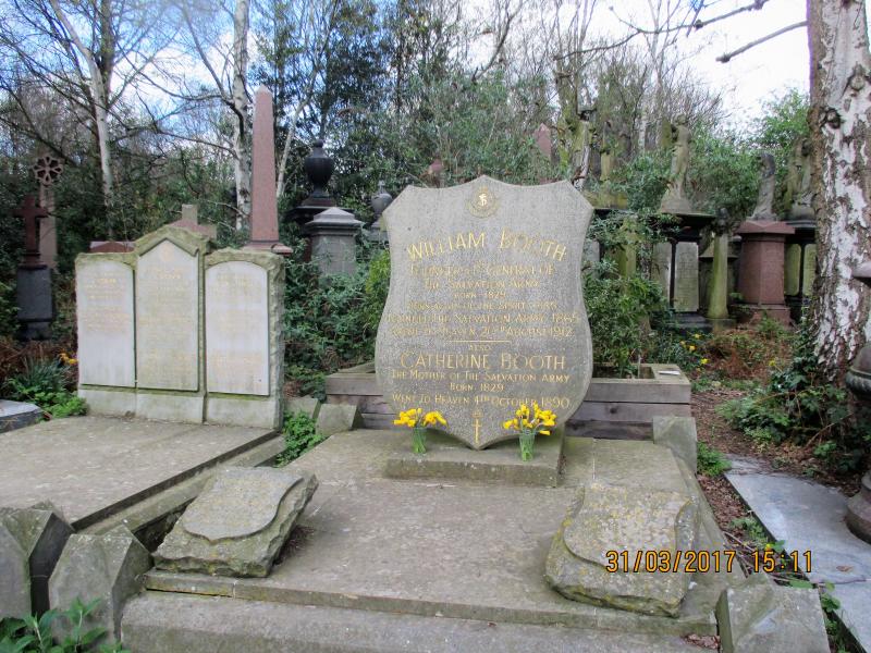
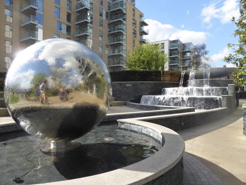
All that now remained was a crossing of the resplendent Clissold Park and a return visit to the atmospheric Abbey Park Cemetery.
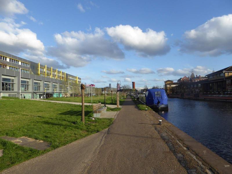
The finish saw some of the party opting to add 5 miles to the route by continuing to Stratford whilst others made their way to the nearby station, leaving two to retire to the local Wetherspoons
Photographs by Ron Williamson and Paul Lawrence
Other Files
Download Walk ReportGallery


Maps:
You can use the interactive controls to zoom in and out and to move around the map, or click on a marker for more info. (interactive map help)
Contains Ordnance Survey data © Crown copyright and database right 2016.
© OpenStreetMap contributors under Open Database Licence.
Rights of way data from selected Local Authorities.
Large scale digital mapping is provided by John Thorn.
© OpenStreetMap contributors under Open Database Licence.
Rights of way data from selected Local Authorities.
Large scale digital mapping is provided by John Thorn.


