


Leith Hill Wander
Sat 25th Nov 2017
Walk Details:
Event Details Updated
UPDATE 18/11
Note train arrives 2 minutes later than advertised, i.e. at 09.13 rather than 09.11
Also note distance is limited to 18 miles max to minimise need to walk in the dark
Possible change in lunch pub to King's Head
Event Type
Group Walk
Region
Southern England
Local Group
London
Distance
18ml.
Start Time
09.11
Route
Dorking Main Station. Catch 08.24 from Waterloo
A circular walk visiting The Nower, Leith Hill, Holmbury St. Mary, Abinger Common, North Downs Way
General Notes
Lunch at Holmbury St. Mary (PROBABLY King's Head rather than Royal Oak pub advertised in "Strider", or picnic)
Web Site
Start and Finish
Entry Details:
Cost
Walk Report
Leith Hill Wander, Saturday 25th November 201717 walkers, 18 miles - leader Nigel Heys
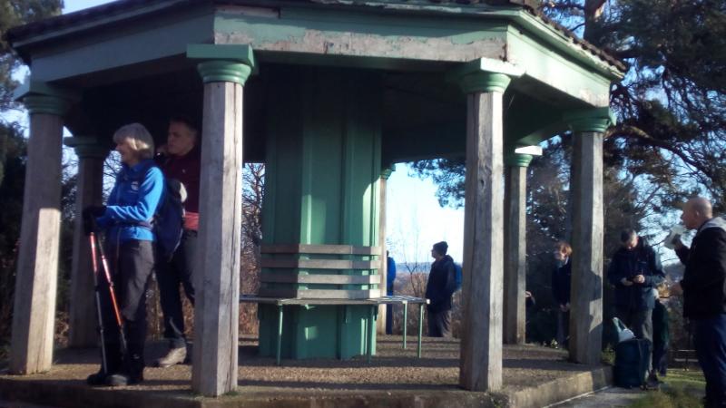
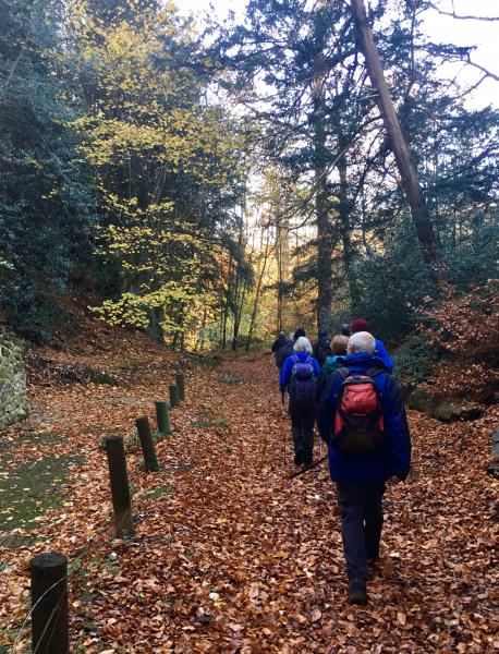
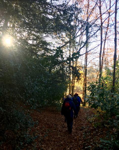
Sixteen walkers braved the frost to reach Dorking Station to explore the back alleys of Dorking on their way to The Nower. The first photo shows us at The Temple there where a seventeenth affected by train cancellations awaited us. From there we headed up to Simons Copse for a drink break with the target Leith Hill visible on the skyline. Suitably refreshed we went down to the valley before starting the long steady climb to Leith Hill.
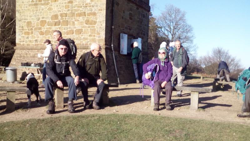
Since it was clear and sunny we admired the view (second photo) before descending along the Greensand Way to Holmbury St. Mary where people either picnicked or used the newly reopened King's Head for lunch (muddy boots welcome).
The afternoon route was through Abinger Common across to Wotton with its isolated church before climbing up to the North Downs Way. We used the Way to Ranmore Common with views of Dorking in the valley below.
The final stretch back to Dorking Station was through Denbies Vineyard, the largest in England, but all the grapes had been harvested.
Photographs by Nigel Heys & Keith Lane; more by Gavin Fuller on the group Facebook page
Other Files
Download Walk ReportGallery

Maps:
You can use the interactive controls to zoom in and out and to move around the map, or click on a marker for more info. (interactive map help)
Contains Ordnance Survey data © Crown copyright and database right 2016.
© OpenStreetMap contributors under Open Database Licence.
Rights of way data from selected Local Authorities.
Large scale digital mapping is provided by John Thorn.
© OpenStreetMap contributors under Open Database Licence.
Rights of way data from selected Local Authorities.
Large scale digital mapping is provided by John Thorn.


