


Otford Circular (joint with Kent)
Sat 18th Nov 2017
Walk Details:
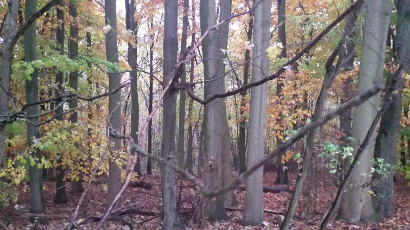
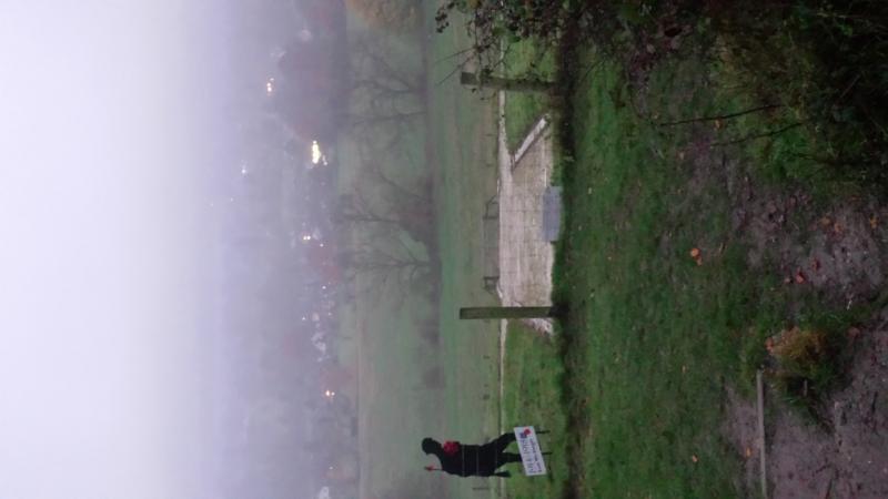
Ascending out of Otford and onto the North Downs Way, then north towards West Kingsdown, with views of London in the distance. Across the old golf course and down towards Shoreham. Loop round Lullingstone Country Park and back to Otford via Shoreham and the Darenth Valley Path
Entry Details:
Walk Report
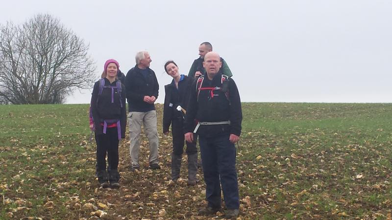
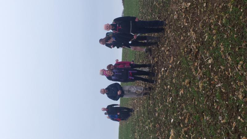
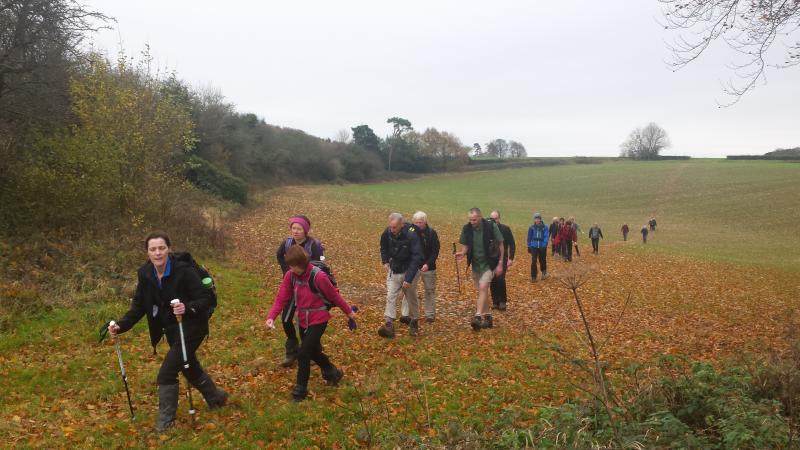
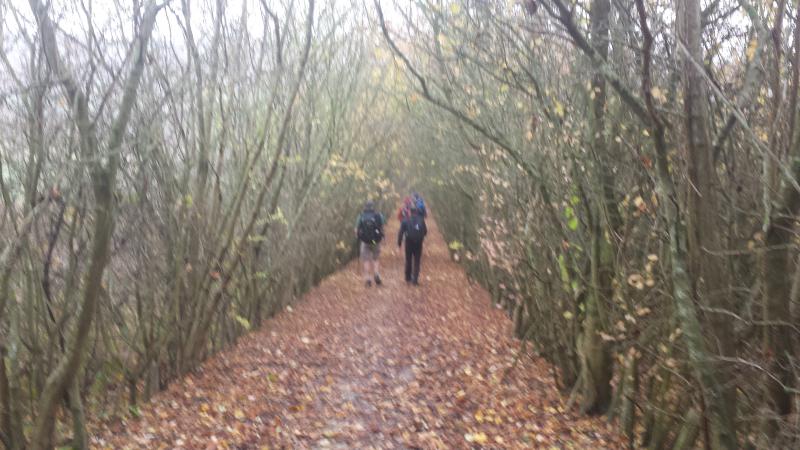
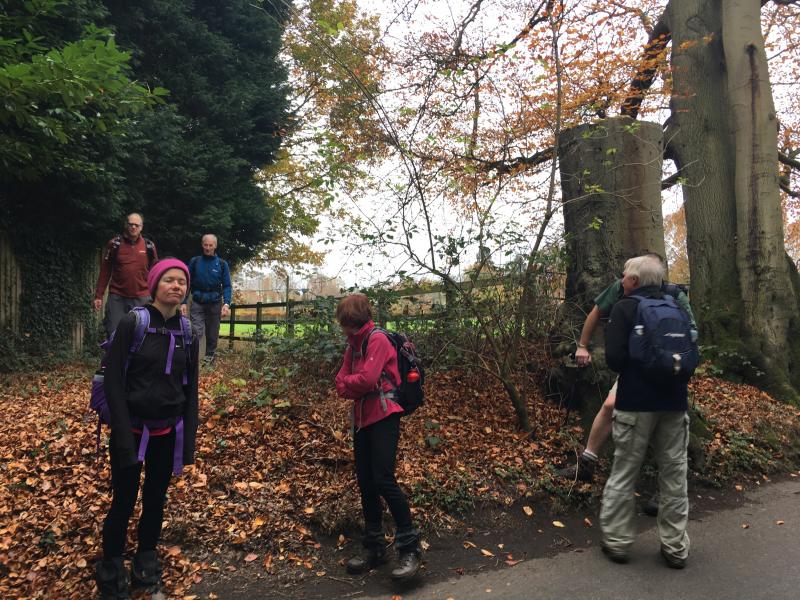
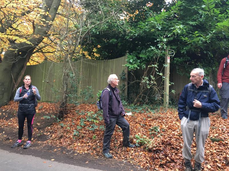
Otford Circular, Saturday 18th November 201720 walkers, 19 miles - leader Helen Franklin
20 walkers left Otford, 2 dropped out (1 literally)
Other Files
Download Walk ReportGPX
A GPX file of the above route may be downloaded by clicking the link below.
Note: GPX files of Group Walks are created by LDWA Group members, and may be downloaded only by other LDWA members. They should not be made available outside the LDWA, and are used at members' own risk.
Login to Download (Members Only)You can use the interactive controls to zoom in and out and to move around the map, or click on a path or a marker for more info. (interactive map help)
You can use the interactive controls to zoom in and out and to move around the map, or click on a path or a marker for more info. (interactive map help)
© OpenStreetMap contributors under Open Database Licence
Rights of way data from selected Local Authorities
Large scale digital mapping is provided by John Thorn
At high zoom levels the route is indicative only.
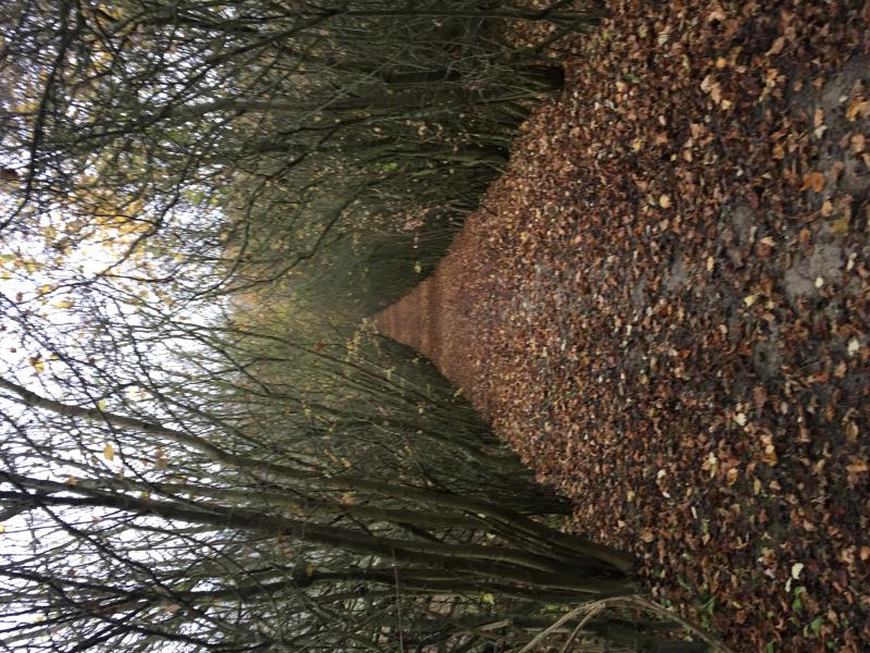
Gallery
Maps:
You can use the interactive controls to zoom in and out and to move around the map, or click on a marker for more info. (interactive map help)
© OpenStreetMap contributors under Open Database Licence.
Rights of way data from selected Local Authorities.
Large scale digital mapping is provided by John Thorn.


