


London Countryway Starter - Gravesend to Borough Green
Sat 6th May 2017
Walk Details:
Event Details Updated
Updated 9/4
Dave Williams replacing Dick Bowman as walk leader
Updated 2/5
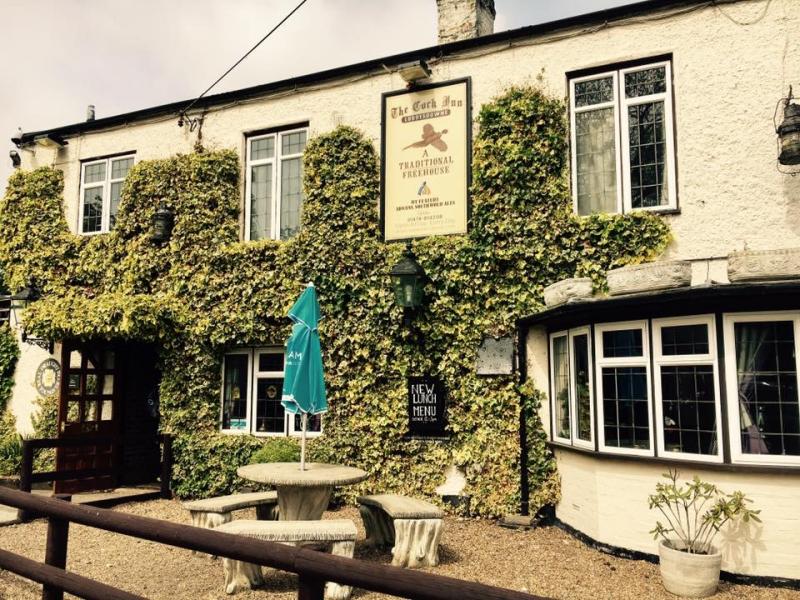
Lunch will be at The Cock Inn at Henley Street, nr. Sole Street.
Also, Dave will be b'fasting in the Gravesend W'spoons, The Robert Pocock in Windmill St. about a 5 min. walk from the station, so anyone is welcome to join him if they wish, it 'll just mean getting down 30 mins. earlier
Event Type
Group Walk
Region
Southern England
Local Group
London
Distance
17.5ml.
Start Time
09.25
Route
Meet at main (Southern) entrance to Gravesend Station (08:31 from London Bridge). Check trains closer to date.
Finish: Borough Green Station (2 trains/hour to London Victoria)
The first stage of a proposed complete circuit of the London Countryway; out through Jeskyns Country Park to Sole Street (joining the Wealdway) via Coldrum Long Barrow; pass near to Harvel, Addington and Wrotham Heath villages. Approximate route described in some detail at http://desdemoor.blogspot.co.uk/p/london-countryway.html (sections 1 and 2)
General Notes
Several pubs and cafes near to the route; probably stopping at the Amazon&Tiger in Harvel - but strongly advised to bring your own food in case of unexpected closure *** SEE UPDATE NOTE FOR DINING ARRANGEMENTS ***
Web Site
Start
Finish
Entry Details:
Cost
Walk Report
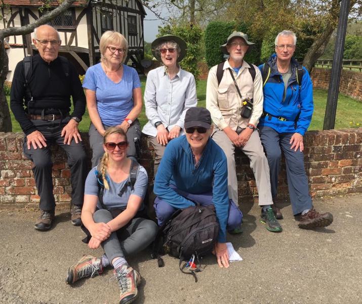
London Countryway Starter - Gravesend to Borough Green, Saturday 6th May 20178 walkers, 18 miles - leader Dave Williams
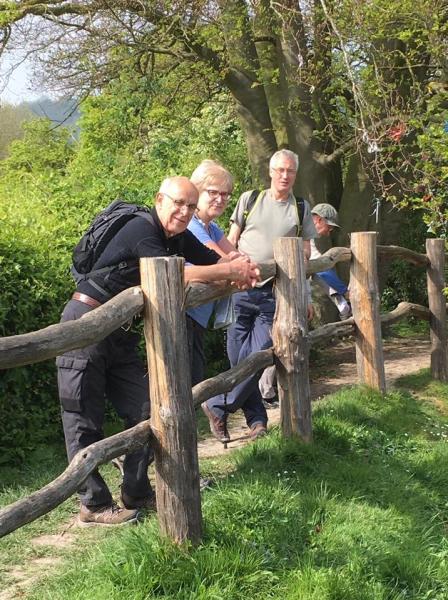
7 merry souls joined the stand-in leader at the very aptly named Gravesend for the first two parts of the London Countryway.
Unfortunately the first hour involved a dreary slog through this rather drab environment.
However salvation was at hand as once we reached Jeskyn's Country Park things greatly improved and after a brief refuelling stop at Cobham church we proceeded across numerous orchards & a short road section to reach our lunch stop, the Cock Inn at Henley Street, where the undoubted highlight (probably of the whole walk) were some rather interesting pictures adorning the gentlemen's toilets!
After a rather prolonged break we plodded on, on the leader's improvised route & eventually reached Harvel for a brief water stop.
Onwards and we then managed to survive the biggest hazard of the day, a golf driving range, albeit more by luck than judgement!
After another detour due to an unauthorised path closure we then managed to survive the perils of another golf course & after reaching the rather delightful village of Platt, we had another stretch of fields to cross before the rather tedious slog along the road to finally reach Borough Green.
Sadly due to yet more incompetence from the leader, we just managed to miss the train but fortunately salvation was at hand at the local Co-op which provided us with ample refreshments.
Total distance covered was 18.7 miles.
Photographs by Sue Kahn
Other Files
Download Walk ReportGallery
Maps:
You can use the interactive controls to zoom in and out and to move around the map, or click on a marker for more info. (interactive map help)
Contains Ordnance Survey data © Crown copyright and database right 2016.
© OpenStreetMap contributors under Open Database Licence.
Rights of way data from selected Local Authorities.
Large scale digital mapping is provided by John Thorn.
© OpenStreetMap contributors under Open Database Licence.
Rights of way data from selected Local Authorities.
Large scale digital mapping is provided by John Thorn.


