


Joyden's Wood and the River Cray
Tue 8th Aug 2017
Walk Details:
Event Details Updated
Update 31/7 with historic background:
In Joyden's Wood we'll see a remnant of the Faesten Dic (sic), a defensive ditch dug to keep Londoners (who had been displaced after the Romans left) out of Saxon Kent - a sort of early anti-gentrification fortification, it would seem.
Event Type
Group Walk
Region
Southern England
Local Group
London
Distance
6ml.
Start Time
18.00
Route
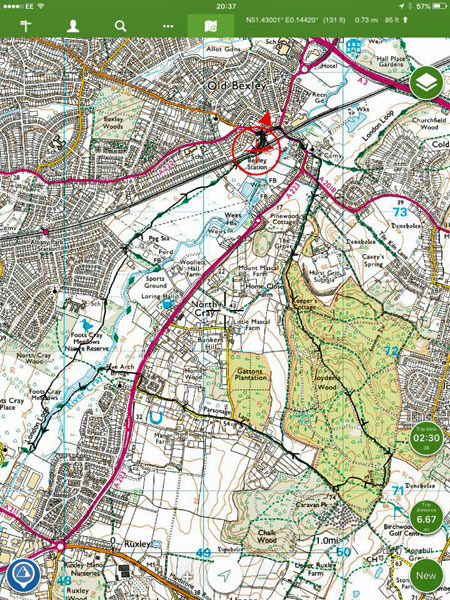
Meet Bexley station (1716 Charing Cross, 1719 Waterloo East, 1725 London Bridge or 1721 Cannon Street)
Through ancient woodland with a surviving Saxon earthwork before heading down to the water-meadows of the River Cray
Web Site
Start and Finish
Entry Details:
Cost
Walk Report
Joydens Wood and the River Cray, Tuesday 8th August 20178 walkers, 6.3 miles - leader Peter Aylmer
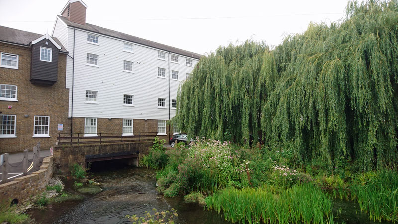
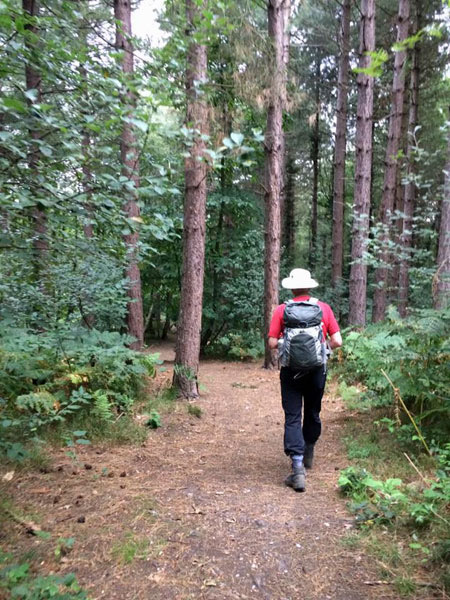
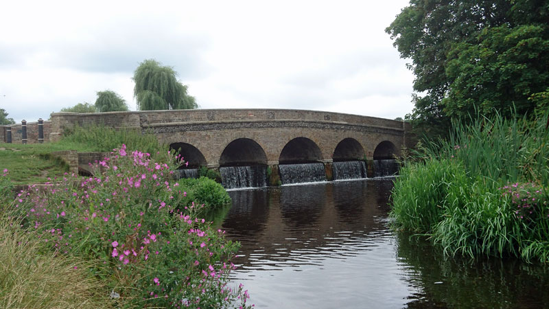
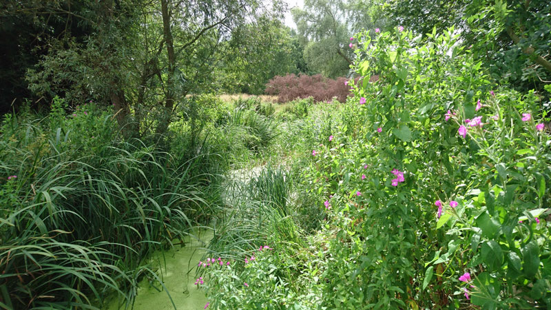
This walk featured two very different habitats, the ancient woodland of Joydens Wood and the water-meadows beside the River Cray. After taking a metalled bridleway past stables we headed up into the woods, encountering the ancient Faesten Dic (love the spelling!), an earthwork that was erected by the Saxons of west Kent around 1400 years ago, to keep the overly-gentrified Romano-Londoners out of their lands following the collapse of the Roman Empire. The woods themselves have both deciduous and coniferous trees, and heather was in bloom in a clearing. On then to the water-meadows, which some of the party knew from the London Loop, but we took a longer route through some very tranquil scenery before meeting a sunflower field on the way home. Alas the sun was mostly hiding - but if we'd been 24 hours later, our waterproofs would have had a severe testing.
Other Files
Download Walk ReportGallery


Maps:
You can use the interactive controls to zoom in and out and to move around the map, or click on a marker for more info. (interactive map help)
Contains Ordnance Survey data © Crown copyright and database right 2016.
© OpenStreetMap contributors under Open Database Licence.
Rights of way data from selected Local Authorities.
Large scale digital mapping is provided by John Thorn.
© OpenStreetMap contributors under Open Database Licence.
Rights of way data from selected Local Authorities.
Large scale digital mapping is provided by John Thorn.


