
Linda's walk
Sun 2nd Apr 2017
Walk Details:
Event Type
Group Walk
Region
Southern England
Local Group
Thames Valley
Distance
c21ml.
Start Time
09.00
Route
Middle Assendon layby
General Notes
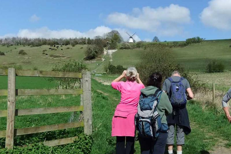
Some hills, including the steep Turville windmill. Lunch at Ibstone
Web Site
Start and Finish
Entry Details:
Cost
Walk Report
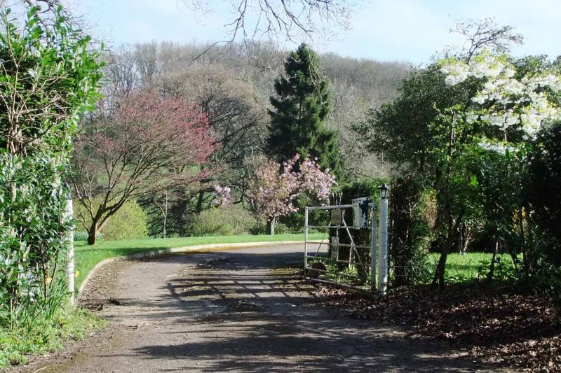
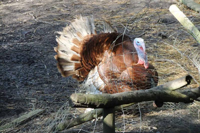
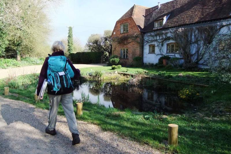
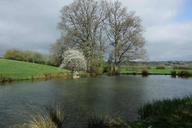
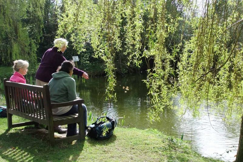
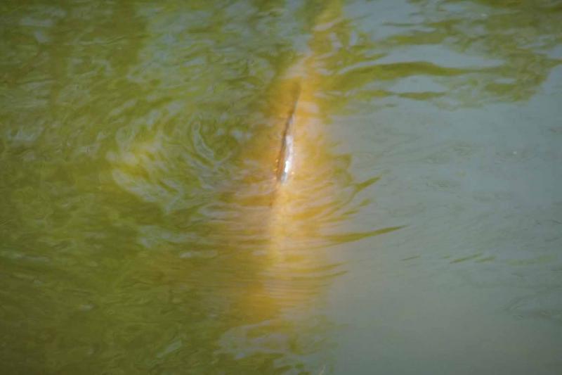
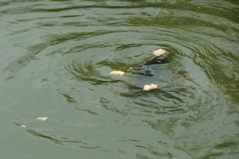
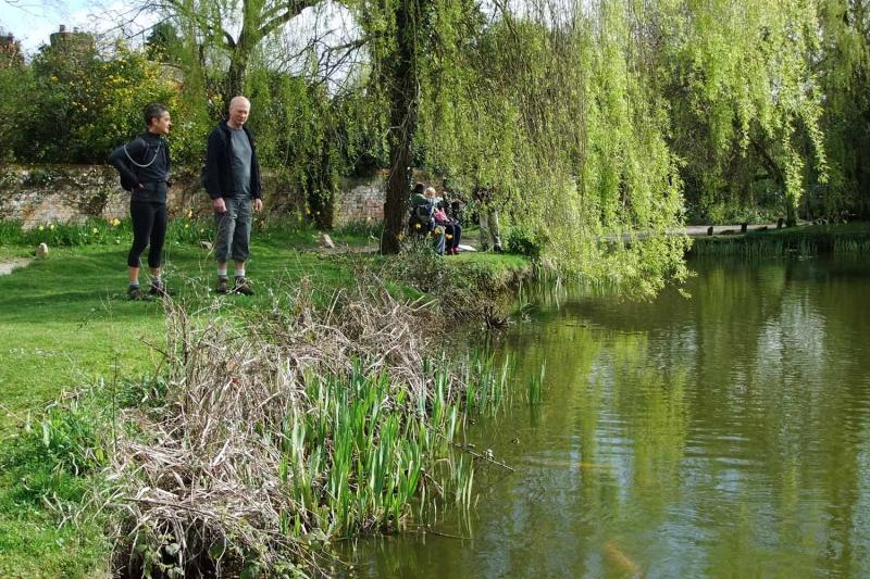
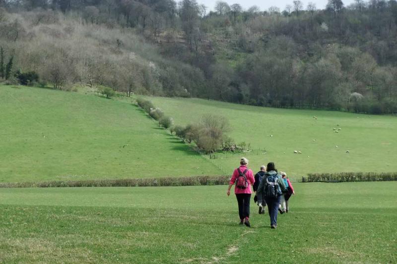
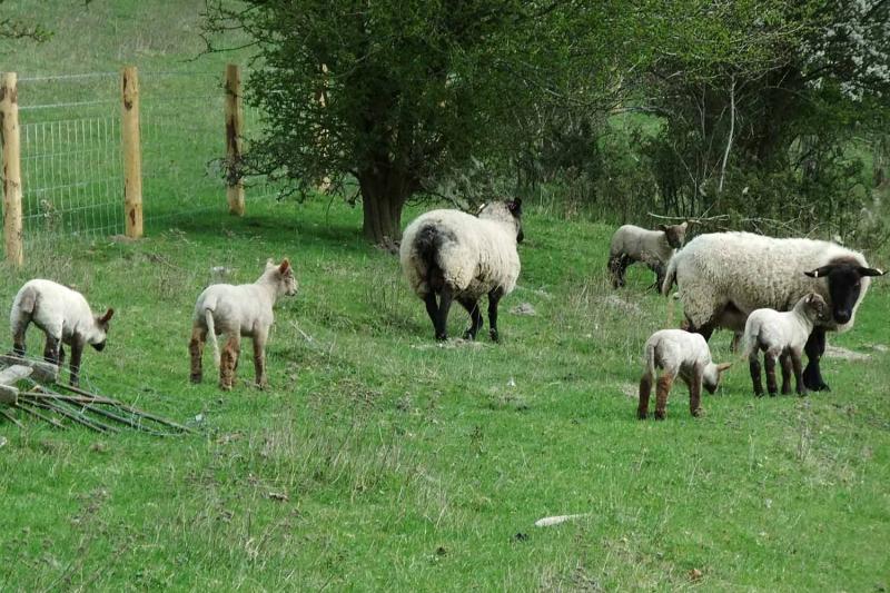
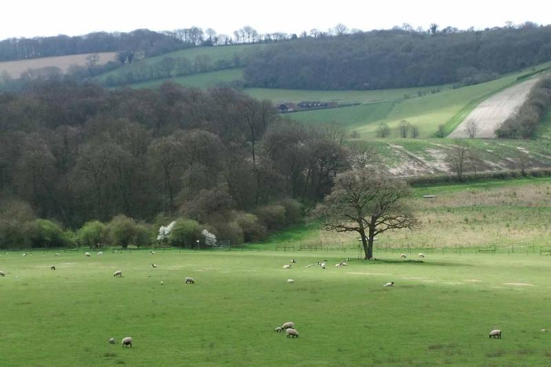
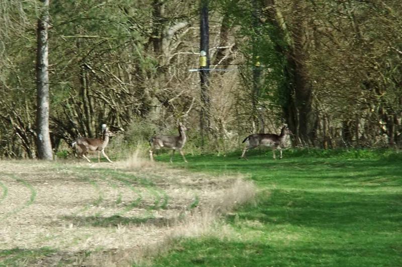
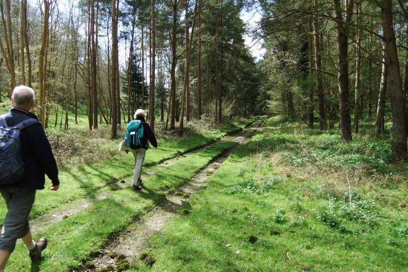
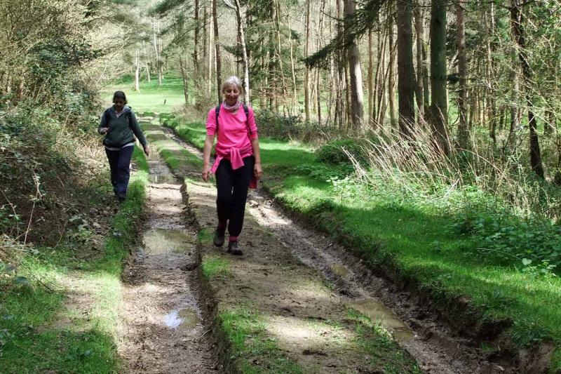
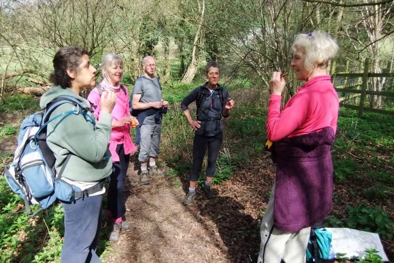
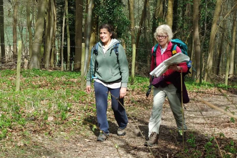
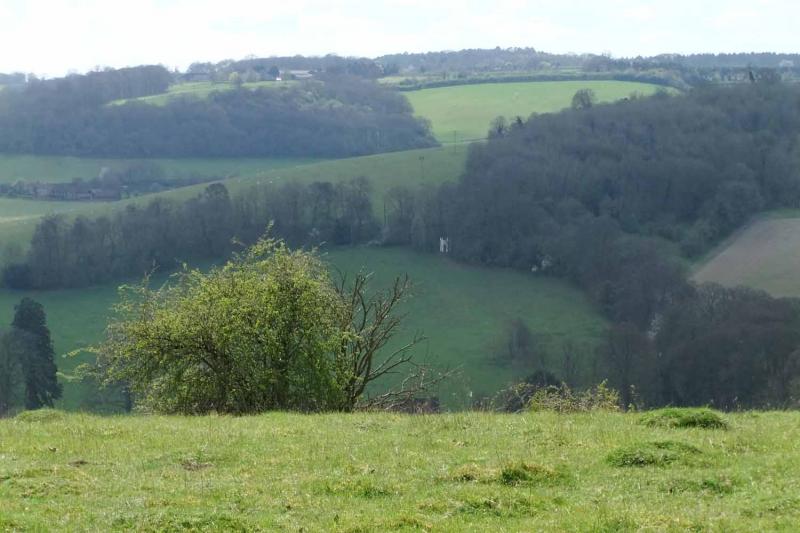
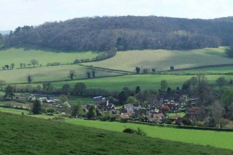
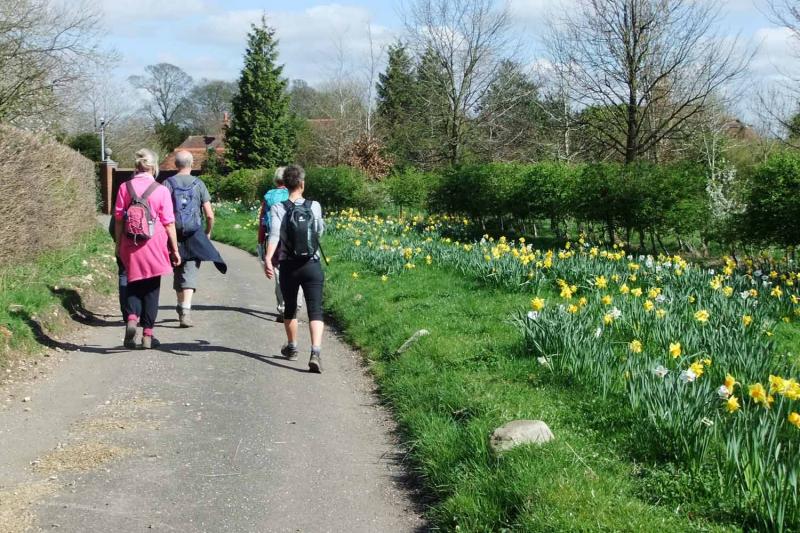
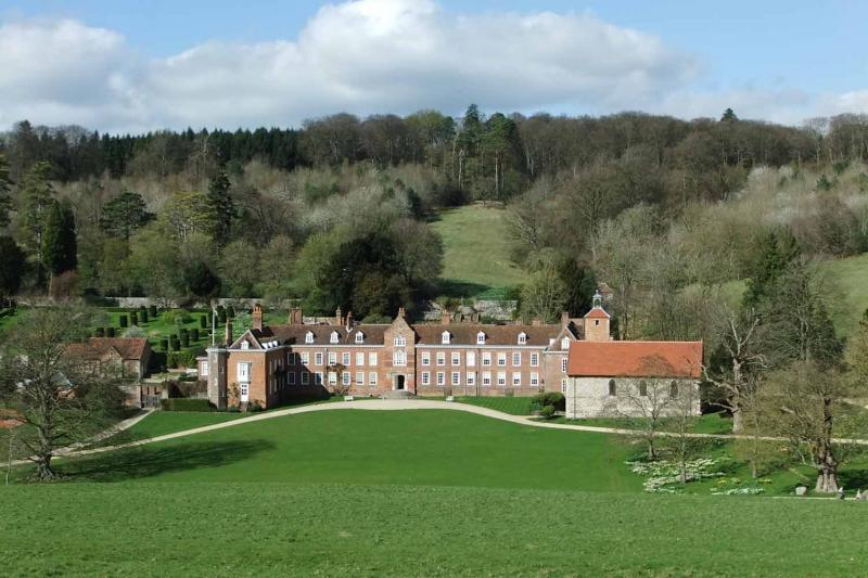
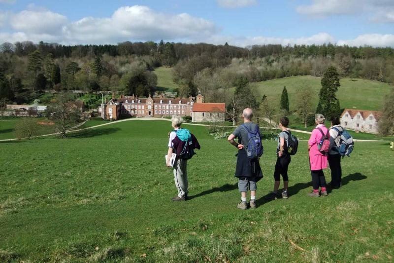
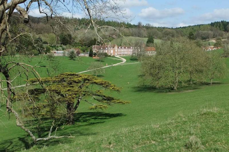
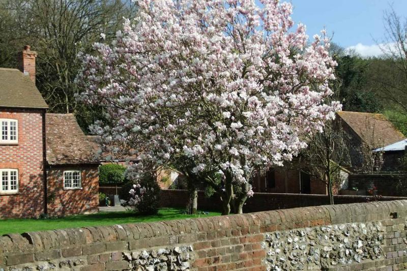
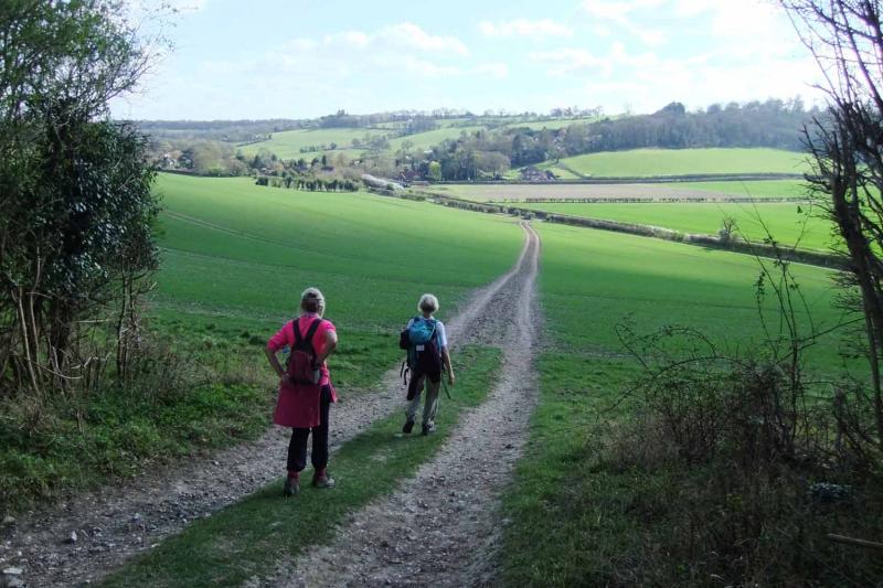
On a bright spring day with almost no mud, a compact group of six tackled the hills correctly noted by Linda in the walk description but also enjoyed the varied flora and fauna on offer. There were even three or possibly four menu items pictured (though probably not for the forthcoming Oxon 40/20).The outward route ascended via Bix and Crocker End with a morning stop to feed the fish at Russell's Water. Heading north towards Hollandridge Farm we soon encountered two other LDWA parties among other groups and eventually after Northend re-ascended to have lunch at Ibstone Common outside the pub. The latter says it is walker-friendly but I did not quite expect this to extend to free takeaway coffee: they had run out of change! The return route included a Jaffa-cake-fuelled ascent to Turville, a mid-afternoon stop in the sun at Southend, joined by a random dog (not pictured), views of Stonor Park and a final ascent of Almshill Wood inspiring a response of "Respect" from some mountain bikers we overtook. A fine ridge walk led back to Middle Assendon: 3300 feet in about 19.5 miles or so I overheard.
Article and photos by Helen Abbott.
Gallery
Maps:
You can use the interactive controls to zoom in and out and to move around the map, or click on a marker for more info. (interactive map help)
Contains Ordnance Survey data © Crown copyright and database right 2016.
© OpenStreetMap contributors under Open Database Licence.
Rights of way data from selected Local Authorities.
Large scale digital mapping is provided by John Thorn.
© OpenStreetMap contributors under Open Database Licence.
Rights of way data from selected Local Authorities.
Large scale digital mapping is provided by John Thorn.


