


Rivers and Parks
Sat 13th May 2017
Walk Details:
A walk along the River Wey Towpath to the Thames Path, through Hampton Court Home Park to lunch at Canbury Gardens. Then continue on the Thames Path to Teddington Lock, through Ham Common to Richmond Park and follow the Tamsin Trail anti-clockwise to Richmond Gate
Entry Details:
Walk Report
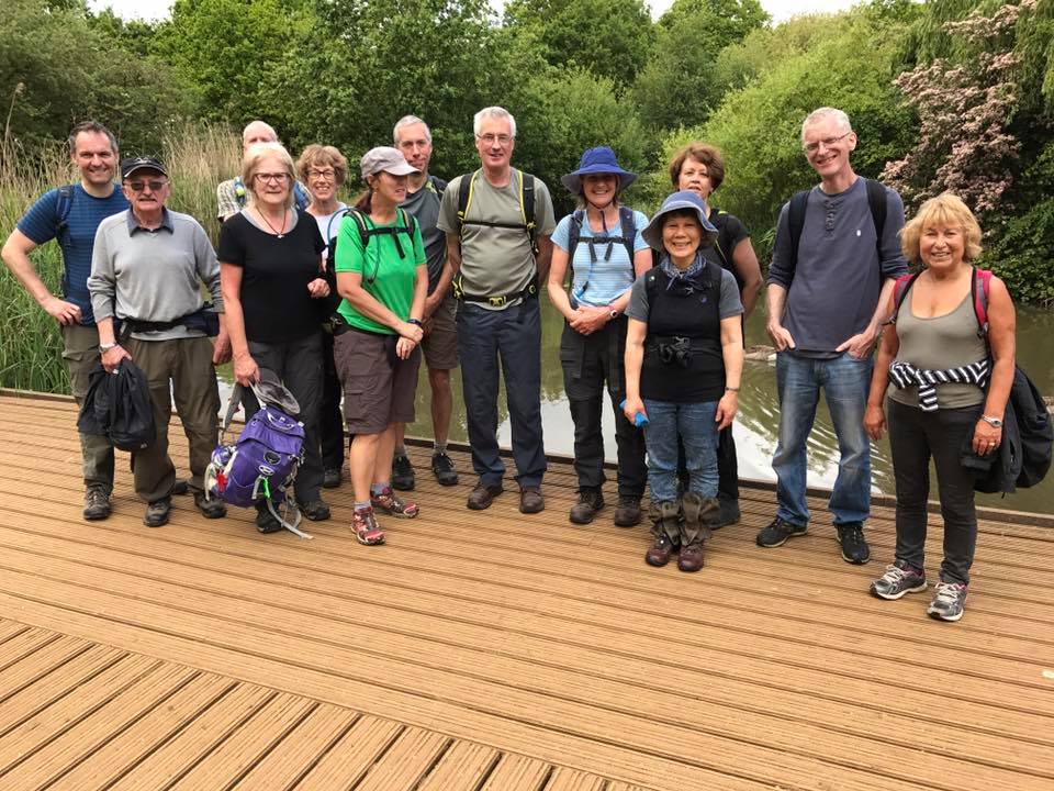
Rivers & Parks, Saturday 13th May 201715 walkers, 21 miles - leader Alan Laycock
Start Time 09:15, Finish Time 16:15
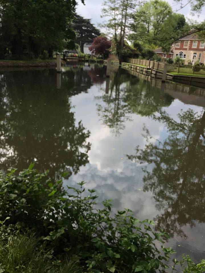
In overcast conditions 15 walkers assembled at Weybridge Station. From the station we joined the River Wey Towpath for about a mile and then the Thames Path, and continually dodging cyclists, headed towards Hampton Court stopping at Elmbridge Leisure Centre 'en route' for a quick drinks break.
We navigated the golf course in Home Park without incident and arrived in Canbury Gardens for lunch in cold and windy conditions.
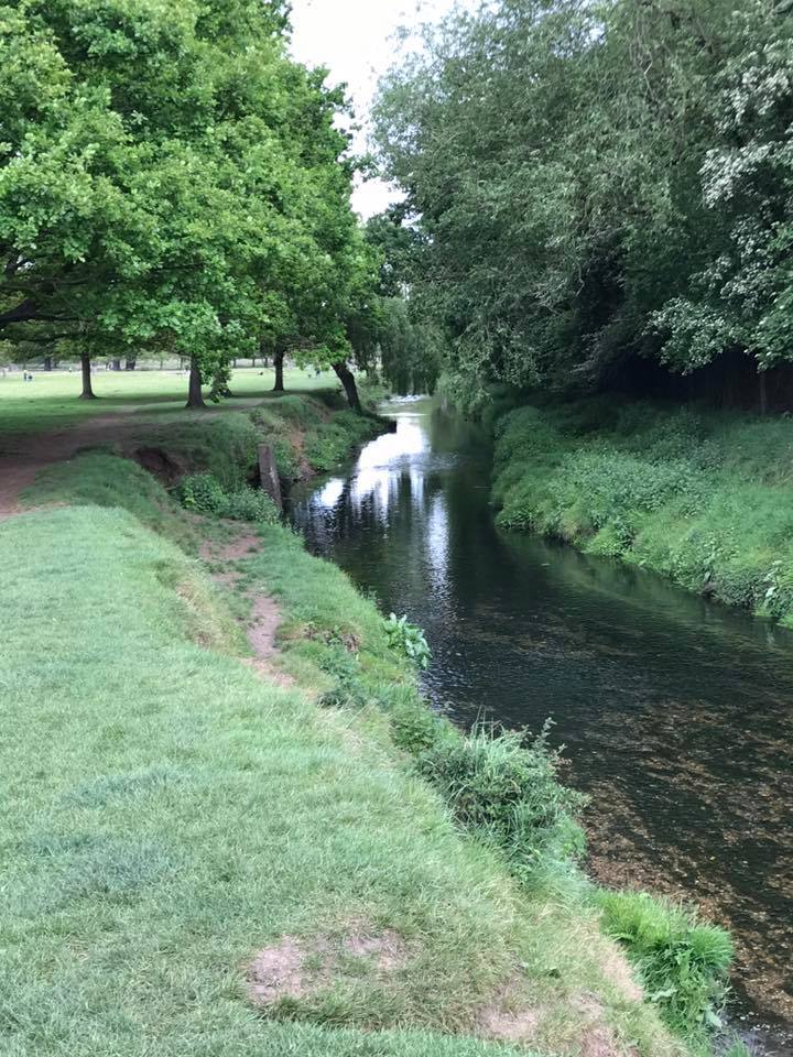
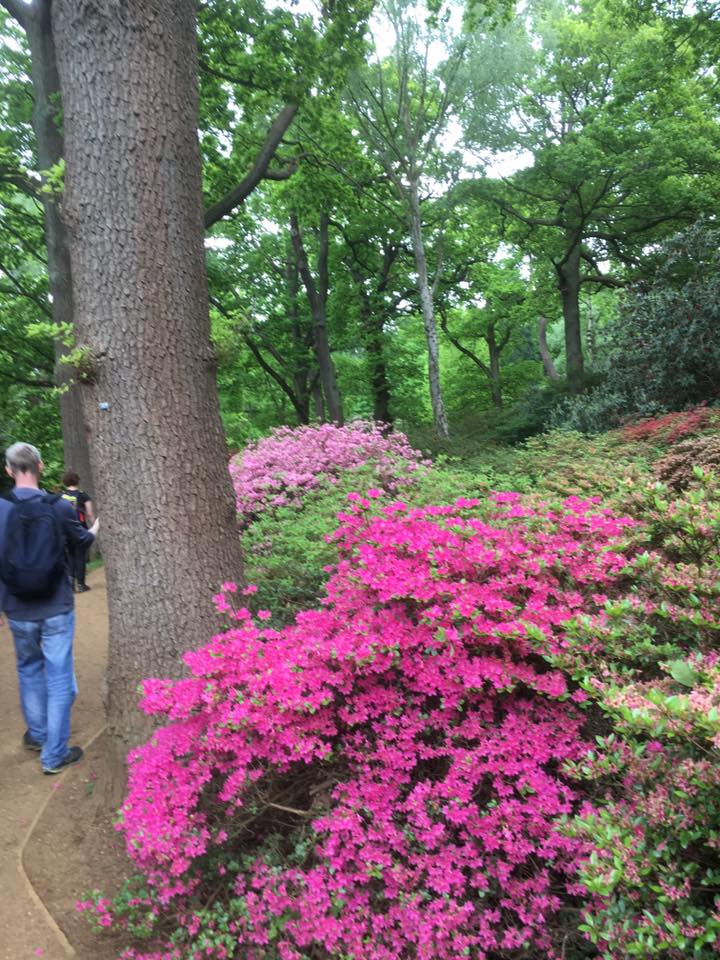
After lunch, and in improving weather conditions, we continued on the Thames Path to Ham and then into Richmond Park where our route took us through the spectacular Isobella Plantation and followed the Beverley Brook until we joined the Tamsin Trail between Roehampton and Sheen Gates.
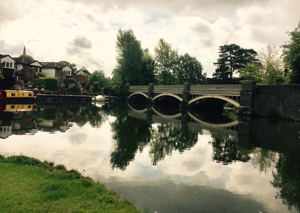
Leaving the Park at Richmond Gate, we continued along the Thames Path to Richmond Green and the Station.
Photographs by Alan Laycock
Other Files
Download Walk ReportGPX
A GPX file of the above route may be downloaded by clicking the link below.
Note: GPX files of Group Walks are created by LDWA Group members, and may be downloaded only by other LDWA members. They should not be made available outside the LDWA, and are used at members' own risk.
Login to Download (Members Only)You can use the interactive controls to zoom in and out and to move around the map, or click on a path or a marker for more info. (interactive map help)
You can use the interactive controls to zoom in and out and to move around the map, or click on a path or a marker for more info. (interactive map help)
© OpenStreetMap contributors under Open Database Licence
Rights of way data from selected Local Authorities
Large scale digital mapping is provided by John Thorn
At high zoom levels the route is indicative only.
Gallery


Maps:
You can use the interactive controls to zoom in and out and to move around the map, or click on a marker for more info. (interactive map help)
© OpenStreetMap contributors under Open Database Licence.
Rights of way data from selected Local Authorities.
Large scale digital mapping is provided by John Thorn.


