


Basildon highlife (DAYTIME MIDWEEK)
Wed 1st Mar 2017
Walk Details:
Event Details Updated
UPDATED 3/1/17:
Catch 9:51 from Fenchurch Street
Event Type
Group Walk
Region
Southern England
Local Group
London
Distance
8ml.
Start Time
10.25
Route
Meet Laindon Station (Catch 9:51 from Fenchurch Street); finish Basildon Station
An exploration of the dizzy heights of South Essex
General Notes
Refreshments at 3 miles and 'The Moon on the Square' not far from finish
Web Site
Start
Finish
Entry Details:
Cost
Walk Report
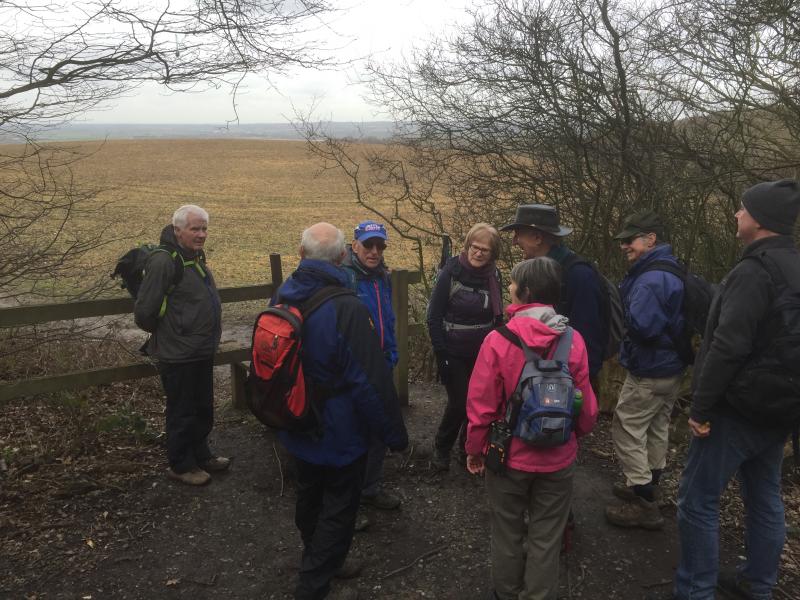
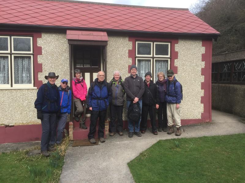
Basildon Highlife, Wednesday 1st March 201710 walkers, 11 miles - leader Ron Williamson
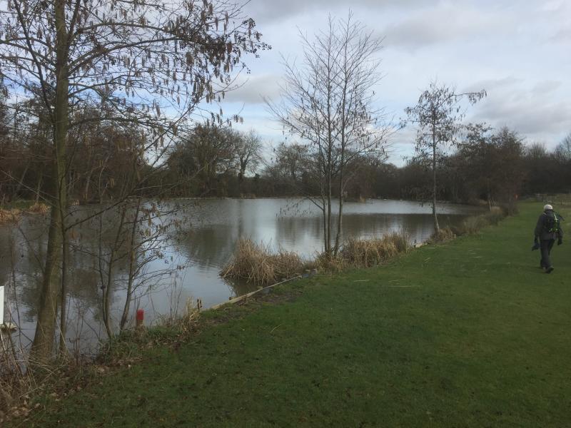
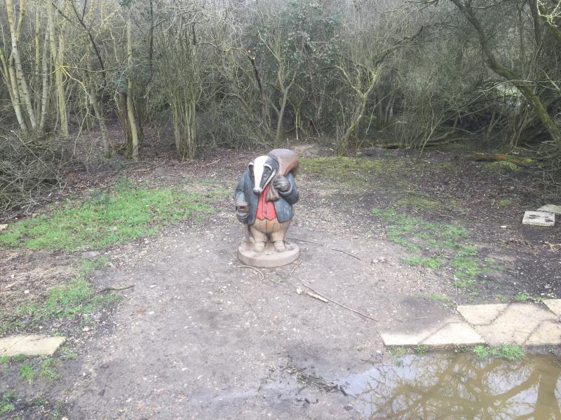
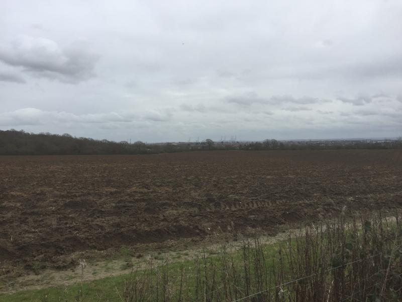
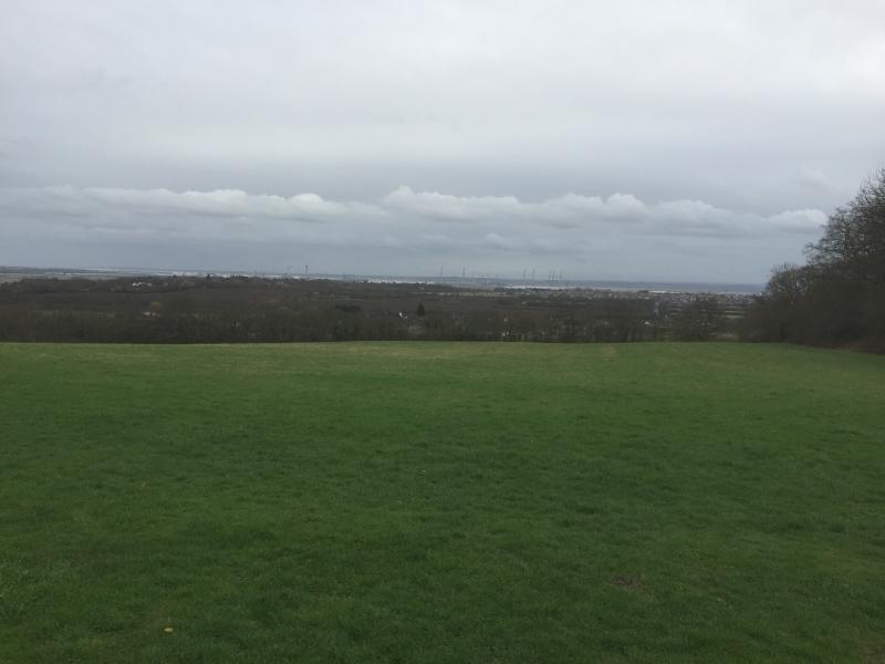
Another dry day greeted the walkers as we set out to explore the heights of Basildon. Entering woodland adjacent to Laindon station the first of many hills was soon defeated and in no time we were enjoying the open space surrounding Westley Heights.
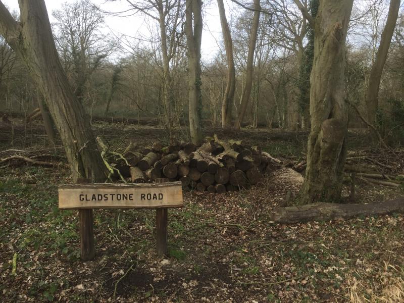
An aborted refreshment stop due to refurbishment of The Crown, only increased the resolve of the expedition party who embarked on a 3 mile diversion to visit Dunton Plotlands. The 'Plotlands' consisted of 183 small plots of land sold at auction in the first half of the 20th century to people who built weekend cottages, holiday bungalows or smallholdings there. Many of the purchasers building weekend cottages came from London and evacuated here during the 2nd World War. The creation of Basildon New Town resulted in their compulsory purchase although the majority of the land was never developed and is now part of a nature reserve where one of the original bungalows has been restored and opened as a museum.
After a break at the visitor centre we reclimbed the hill to near The Crown and continued via. Hall Wood, Coombe Wood and Oakwood to One Tree Hill (all part of Langdon Hills Country Park).
Following our nose we negotiated a way across Basildon Golf course and then headed North through more greenery to finally reach tarmac a few 100yds from our destination Basildon station or the local Wetherspoons.
It is a credit to the Town Planners that we could complete 11 miles all within 3 miles of the Town centre with half a mile on tarmac and only 8 roads to cross.
A worthwhile exploration with not too many hills.
Photographs by Chris Williamson
Other Files
Download Walk ReportGallery


Maps:
You can use the interactive controls to zoom in and out and to move around the map, or click on a marker for more info. (interactive map help)
Contains Ordnance Survey data © Crown copyright and database right 2016.
© OpenStreetMap contributors under Open Database Licence.
Rights of way data from selected Local Authorities.
Large scale digital mapping is provided by John Thorn.
© OpenStreetMap contributors under Open Database Licence.
Rights of way data from selected Local Authorities.
Large scale digital mapping is provided by John Thorn.


