


The sea is on your right or maybe left (MIDWEEK DAYTIME)
Wed 11th Jan 2017
Walk Details:
Event Details Updated
UPDATE 3/1/17:
Start location confirmed as Leigh on Sea Station 10:25
Catch 9:34 from Fenchurch Street
Over 65 with freedom pass; buy rover ticket from Upminster £5
Otherwise buy return to Shoeburyness (50% discount if purchased on line 3 days in advance)
Event Type
Group Walk
Region
Southern England
Local Group
London
Distance
8ml.
Start Time
10.25
Route
Meet Leigh On Sea Station; Finish: Shoeburyness Station ***IMPORTANT NOTE: UPDATED 3 January 2017: Starting point CONFIRMED AS LEIGH-ON-SEA*** (catch 09.34 from Fenchurch St)
All along the prom. with possible extensions, to include the pier and to 'The Parsons Barn', to be agreed on the day '
General Notes
Morning coffee at 'The Cliffs'
Web Site
Start
Finish
Entry Details:
Cost
Walk Report
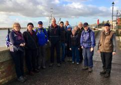
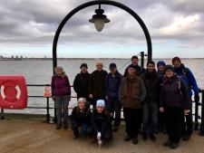
The Sea is on Your Right, Maybe Left, Wednesday 11th January 201713 walkers, 11 miles - leader Ron Williamson
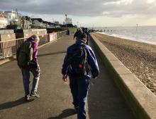
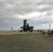
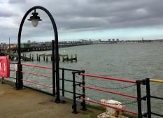
Glorious spring like weather greeted us as the hardy winter walkers promenaded along the 8 miles of Southend's seashore some taking the opportunity to walk on the beach or even eat sandwiches sitting on the sand. The resilience of the party was tested to the core, however, during the optional additional 2.6 miles walk on the pier, the return leg of which was into the teeth of a North-Westerly gale, so some of those holiday calories were burnt off and those who needed a challenging walk were not completely disappointed.
The majority of the party returned home from Shoeburyness, but four were seen to be running off to the nearest Wetherspoons, well as far as the bus stop.
For the second time in succession the pier was not conquered as this time we were thwarted by health and safety regulations which due to high winds excluded us from the final 60 metres, however, another attempt to reach the summit of our Everest is scheduled for next October.
Photographs by Keith Lane
Other Files
Download Walk ReportGallery


Maps:
You can use the interactive controls to zoom in and out and to move around the map, or click on a marker for more info. (interactive map help)
Contains Ordnance Survey data © Crown copyright and database right 2016.
© OpenStreetMap contributors under Open Database Licence.
Rights of way data from selected Local Authorities.
Large scale digital mapping is provided by John Thorn.
© OpenStreetMap contributors under Open Database Licence.
Rights of way data from selected Local Authorities.
Large scale digital mapping is provided by John Thorn.


