


URGENT UPDATE RE TRAVEL: Going Loopy Pt 3 (linear)
Sat 25th Mar 2017
Walk Details:
Event Details Updated
Updated 19/3 with lunch details
Lunch will be in Kingston, choice of pub or cafes, shortly after halfway
Updated 20/3 with travel amendment:
*** Engineering works to Banstead all on Saturday so rail replacement service must be used:
Depart Victoria 0833 to West Croydon arrive 0906, change there for rail replacement bus depart 0916, arrive Banstead 0954. ***
Event Type
Group Walk
Region
Southern England
Local Group
London
Distance
21ml.
Start Time
09.54 NOT 09.20
Route
Meet Banstead station
*** New travel arrangements because of rail engineering works: Depart Victoria 0833 to West Croydon arrive 0906, change there for rail replacement bus depart 0916, arrive Banstead 0954 ***
Finish Hatton Cross tube. If using a Travelcard, zone 6 is needed for Banstead
Stages 7 to 9 of the London Loop, following the Hogsmill River down to the Thames at Kingston before picking up the River Crane. Bushy Park and Hounslow Heath too
General Notes
Lunch details: Kingston, choice of pub or cafes, shortly after halfway
Web Site
Start
Finish
Entry Details:
Cost
Walk Report
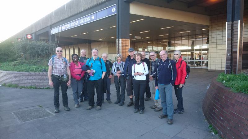
Going Loopy Part 3: Banstead to Hatton Cross, Saturday 25th March 201713 walkers, 21 miles - leader Peter Aylmer
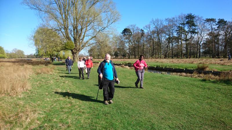
Seven of us braved the rail replacement bus from West Croydon to Banstead on a sunny but breezy morning, and immediately set off across Banstead Common. Unfortunately, the bus didn't go to Banstead station itself, where six more were waiting ... All resolved thankfully thanks to the use of mobile phone technology.
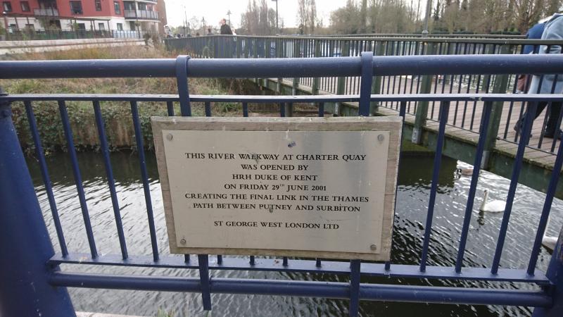
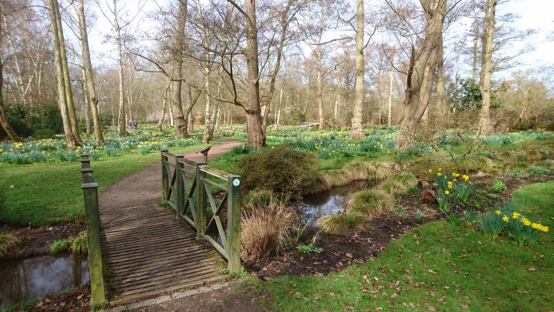
This stage of the Loop starts high, gets low and then stays there - in elevation terms, not loveliness quotient. After a mile and a bit of (mostly well-heeled) housing we came to the welcome open space of Nonsuch Park - one-time hunting grounds for Henry VIII - and not far from there, in Ewell village, we picked up the Hogsmill River at its source, which the Loop follows almost all the way to the Thames at Kingston, our lunch stop.
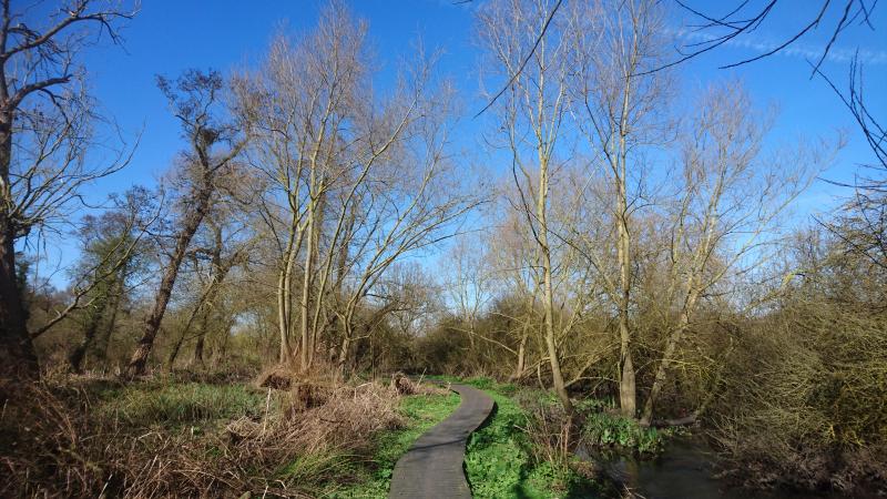
Soon after we were in Bushy Park, one of the great Royal Parks. The Loop traverses it for over two miles, and without doubt it's one of the highlights of the entire trail. Plenty of deer, plenty of daffodils, and plenty of Londoners - us included - simply having a good time. After a lengthy road stretch, we picked up another Thames tributary the Crane. It was beside us most of the way to the finish, apart from a diversion through Hounslow Heath, once a highwayman's haunt and still with a wild feel to it. The last few yards are beside the busy A30, but we were safely under the canopy of Hatton Cross tube a few minutes in advance of the promised 6pm.
Photographs by Peter Aylmer
Other Files
Download Walk ReportGallery


Maps:
You can use the interactive controls to zoom in and out and to move around the map, or click on a marker for more info. (interactive map help)
Contains Ordnance Survey data © Crown copyright and database right 2016.
© OpenStreetMap contributors under Open Database Licence.
Rights of way data from selected Local Authorities.
Large scale digital mapping is provided by John Thorn.
© OpenStreetMap contributors under Open Database Licence.
Rights of way data from selected Local Authorities.
Large scale digital mapping is provided by John Thorn.


