


'Comets and curry' weekend away - CONFIRMED
Sat 19th Nov 2016
Walk Details:
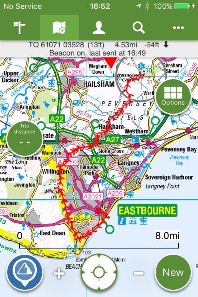
Return walks from / to Eastbourne (15-20 mi) on Sat and Sun
Entry Details:
Walk Report
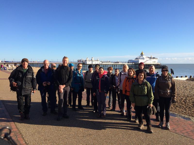
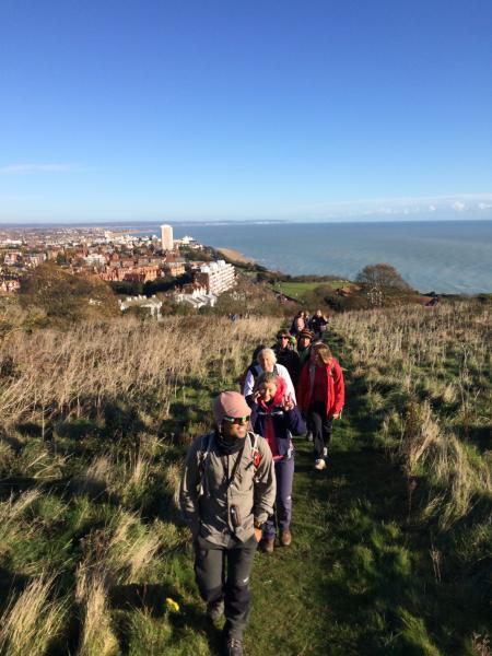
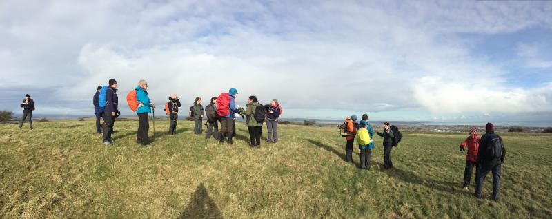
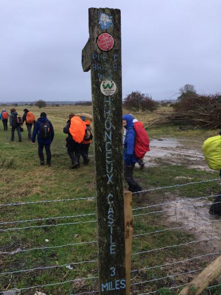
'Comets and Curry' Weekend Away Day 1, Saturday 19th November 201618 walkers, 14.5 miles - leader Adam Dawson
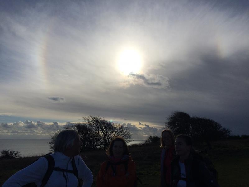
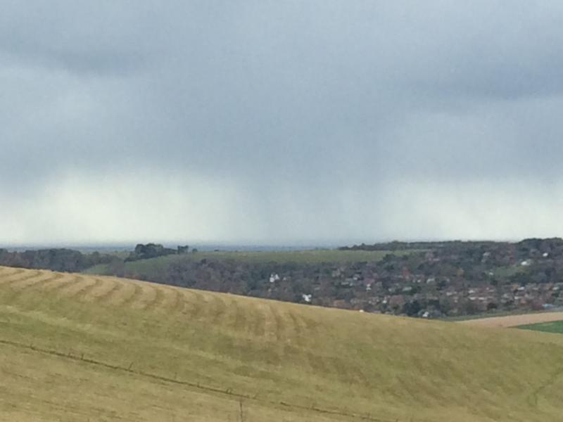
A very promising start to our hike on Saturday from Eastbourne to Herstmonceux. Fantastic views from the South Downs Way at the start, then down across the Pevensey Levels. Sadly the clouds rolled in during the afternoon and by 3pm it was pouring. Staying at the Bader Centre on Saturday, courtesy of Queens University, Canada, then off up to the nearby observatory for the evening. The storm Angus which hit us at about 7pm and lasted all night put an end to hopes of stargazing - still the curry was excellent, the talk on meteorites fascinating, and the tour of the telescopes really interesting.
Thanks to Angus' attentions the viewing conditions at the observatory weren't exactly ideal, but we did learn that every day cosmic dust adds 40 tonnes to the earth's weight, and that an earth tide somewhat improbably causes Herstmonceux to rise and fall by 8 inches every day. And more useful facts about telescopes than it is possible to recall.
Photographs by Adam Dawson
Other Files
Download Walk ReportGPX
A GPX file of the above route may be downloaded by clicking the link below.
Note: GPX files of Group Walks are created by LDWA Group members, and may be downloaded only by other LDWA members. They should not be made available outside the LDWA, and are used at members' own risk.
Login to Download (Members Only)You can use the interactive controls to zoom in and out and to move around the map, or click on a path or a marker for more info. (interactive map help)
You can use the interactive controls to zoom in and out and to move around the map, or click on a path or a marker for more info. (interactive map help)
© OpenStreetMap contributors under Open Database Licence
Rights of way data from selected Local Authorities
Large scale digital mapping is provided by John Thorn
At high zoom levels the route is indicative only.
Gallery

Maps:
You can use the interactive controls to zoom in and out and to move around the map, or click on a marker for more info. (interactive map help)
© OpenStreetMap contributors under Open Database Licence.
Rights of way data from selected Local Authorities.
Large scale digital mapping is provided by John Thorn.


