


London parks by night
Wed 7th Dec 2016
Walk Details:
A circular walk taking in the royal Parks at night and also the Xmas lights
Entry Details:
Walk Report
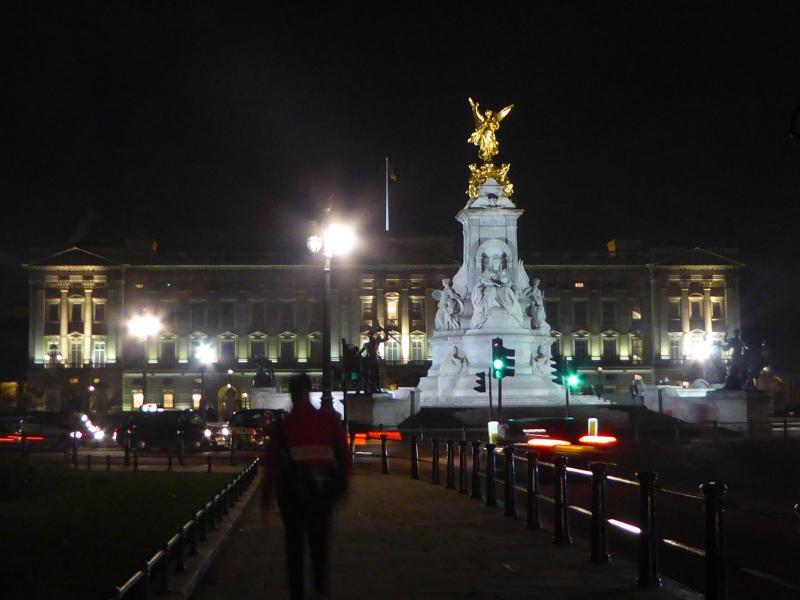
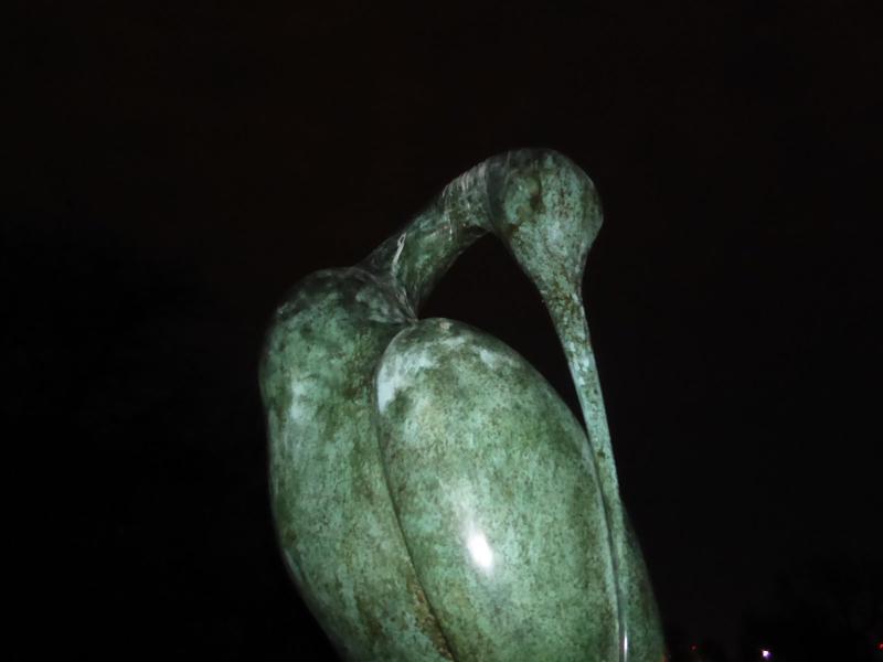
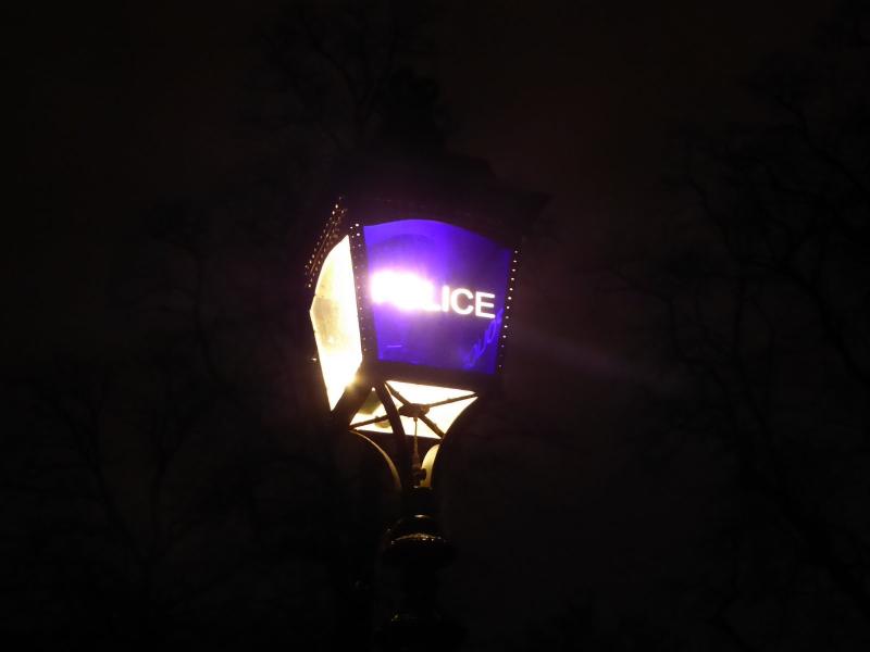
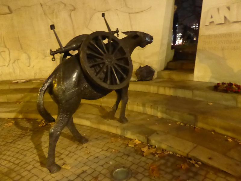
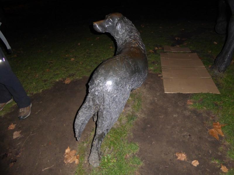
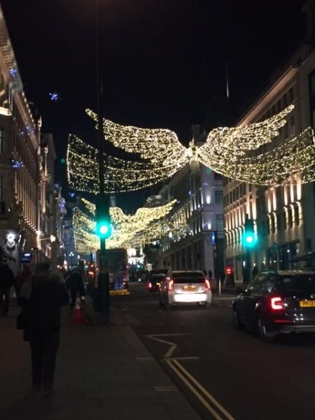
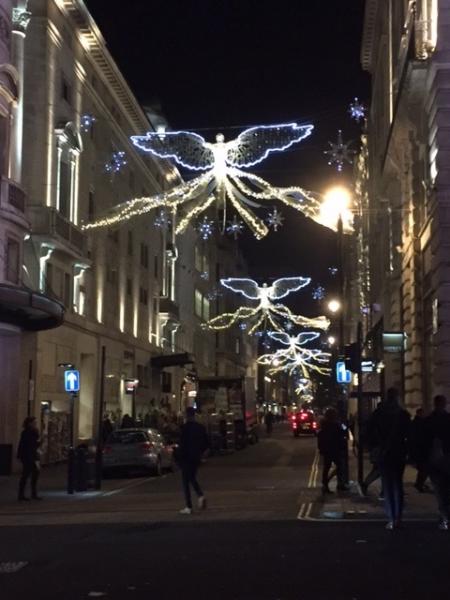
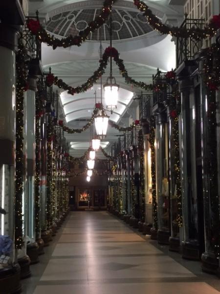
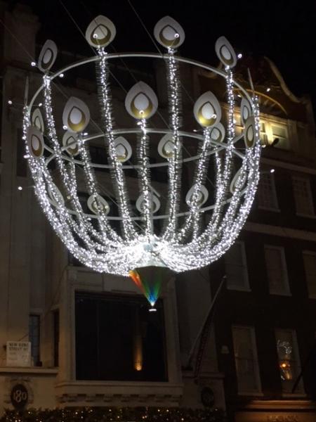
London's Parks by Night and Xmas Lights, Wednesday 7th December 201614 walkers, 7.3 miles - leader Jane Bates
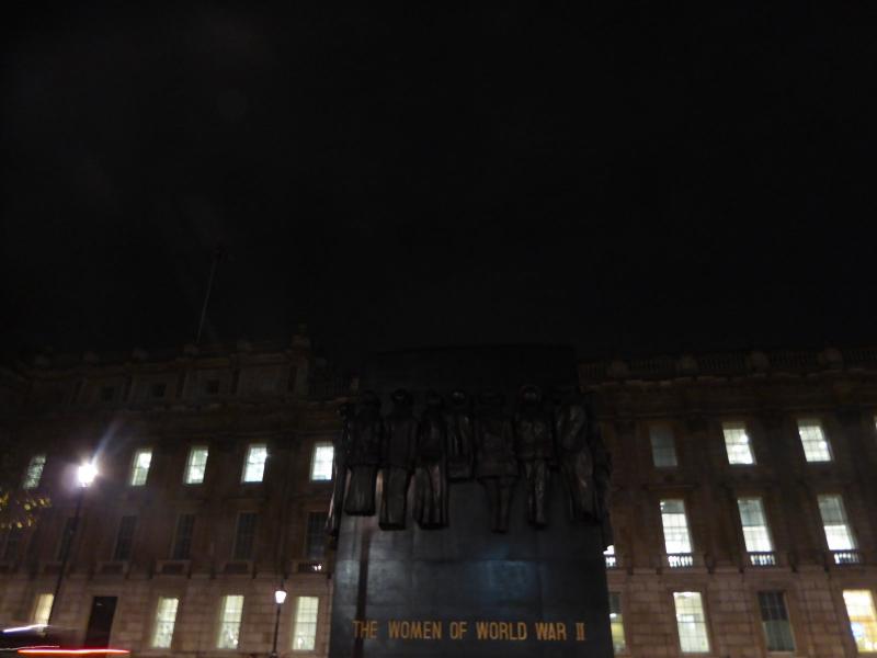
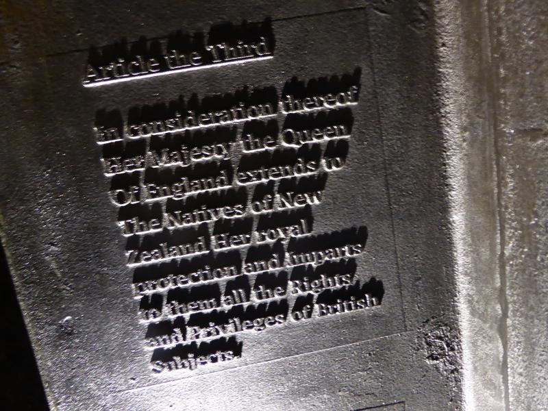
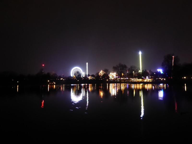
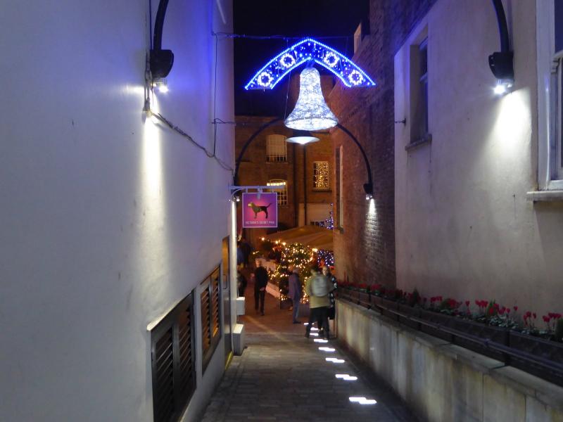
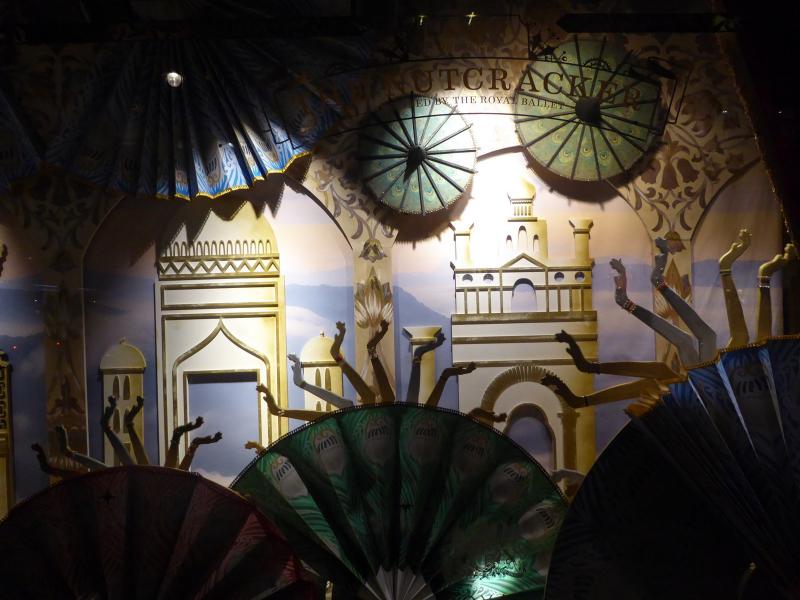
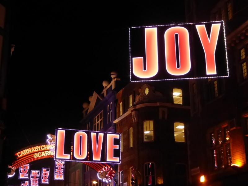
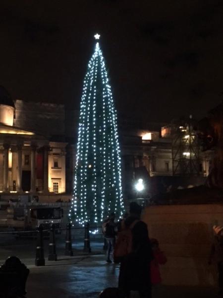
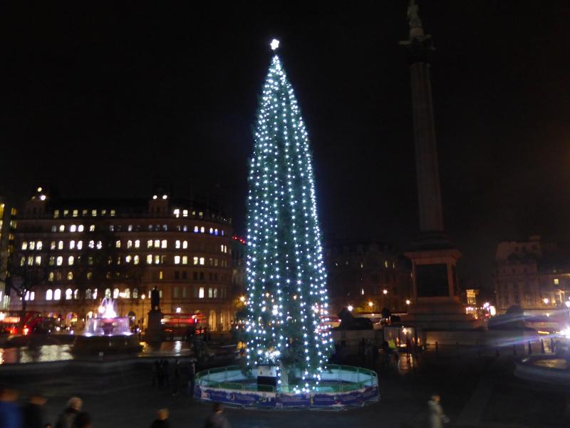
14 of us met at Charing Cross, but I almost lost 2 within 100 yards of start - a record even for me. Once reunited we went down Whitehall past Women in War memorial and Cenotaph, then through St James Park, Green Park and Hyde Park before exiting by the Animals in War memorial at Park Lane. On the way we visited many other war memorials including the Canadian one, the New Zealand one and a Holocaust memorial amongst others. In stark contrast to all the memorials our walk around Hyde Park had the constant backdrop of the Winter Wonderland rather extreme attractions. Once we exited the parks we then visited all the famous and not so famous Xmas lights; Oxford Street, Bond Street, Regent Street as well as Carnaby Street, Burlington Arcade, some Xmas shop window displays and tiny little Xmas light bedecked areas such as Kingsley Court where we had to squeeze between tables. We eventually wandered back to Trafalgar Square where the famous, but not very impressive, Norwegian Xmas tree was placed. Finished just before 9 at Wetherspoons on Whitehall where eventually our booked table appeared and a few beers and usual Wetherspoon fare was partaken. Weather dry and mild for time of year. Miles - just over 7 miles, start 6 pm, finished 8.45pm.
Photographs by Jane Bates and Paul Lawrence
Other Files
Download Walk ReportGPX
A GPX file of the above route may be downloaded by clicking the link below.
Note: GPX files of Group Walks are created by LDWA Group members, and may be downloaded only by other LDWA members. They should not be made available outside the LDWA, and are used at members' own risk.
Login to Download (Members Only)You can use the interactive controls to zoom in and out and to move around the map, or click on a path or a marker for more info. (interactive map help)
You can use the interactive controls to zoom in and out and to move around the map, or click on a path or a marker for more info. (interactive map help)
© OpenStreetMap contributors under Open Database Licence
Rights of way data from selected Local Authorities
Large scale digital mapping is provided by John Thorn
At high zoom levels the route is indicative only.
Gallery


Maps:
You can use the interactive controls to zoom in and out and to move around the map, or click on a marker for more info. (interactive map help)
© OpenStreetMap contributors under Open Database Licence.
Rights of way data from selected Local Authorities.
Large scale digital mapping is provided by John Thorn.


