


Richmond Circular
Wed 18th May 2016
Walk Details:
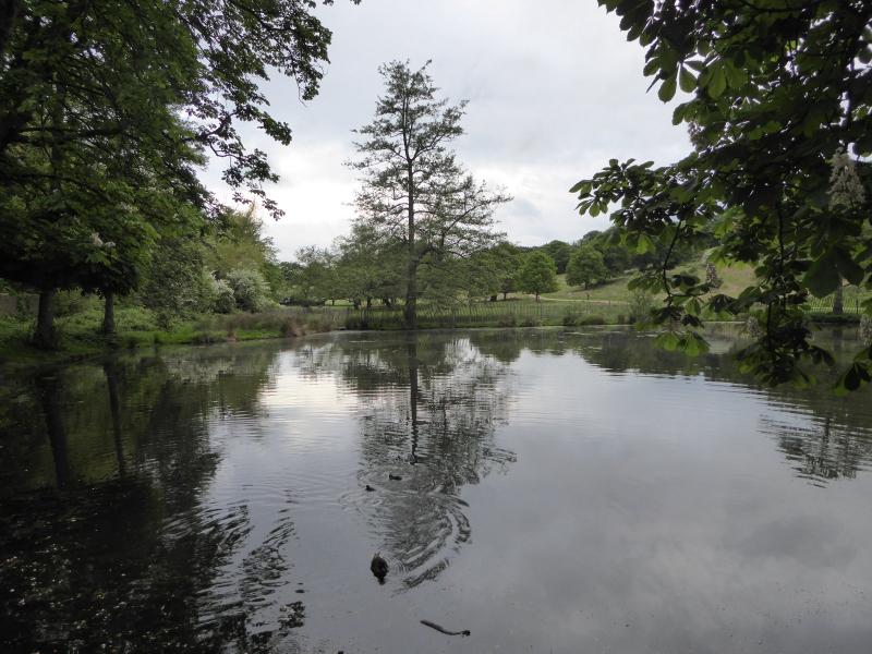
Towpath to Petersham then the park's wilder southern slopes and stream to Ham Gate Pond . Woodland back to Ham Common and House then towpath
Entry Details:
Walk Report
Richmond Circular, Wednesday 18th May 201611 walkers, 7 miles - leader Peter Russell
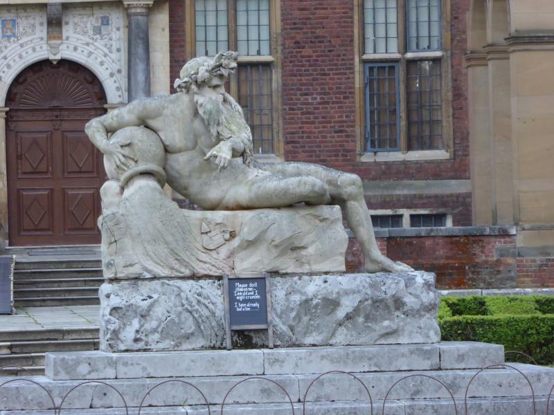
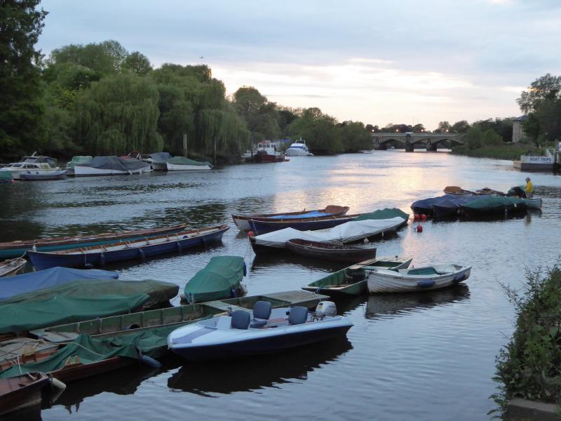
I checked out the walk earlier on in the day when the dog and I were rained on. The evening walk was dry and dog-free. At the Buccleuch riverside gardens we stepped through the grotto arches to see the statue of Father Thames. I set a quiz to identify 2 differences compared to the same statue at Ham House.
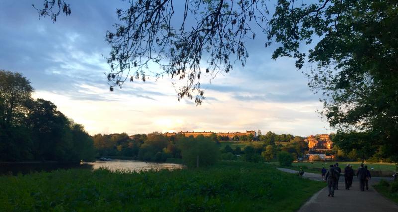
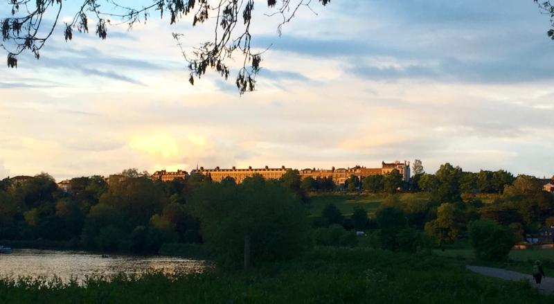
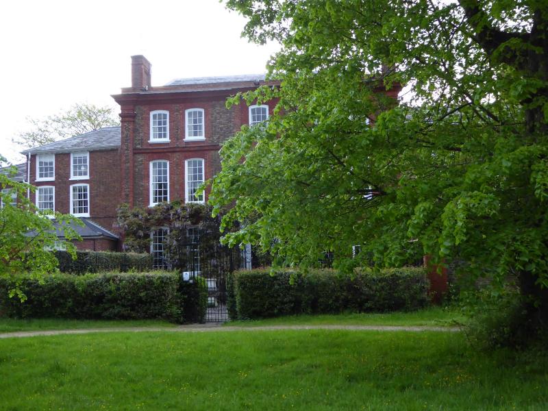
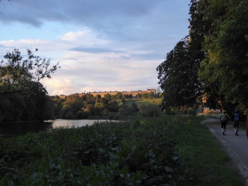
Richmond Park had a smattering of late bluebells under the ancient trees and many May trees were in full bloom. The Ham Woods and the Ham Avenues were fresh green compared to two weeks ago.
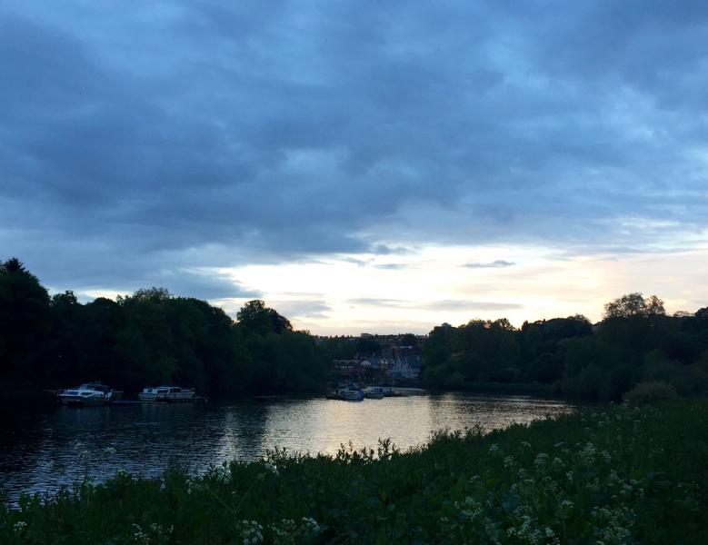
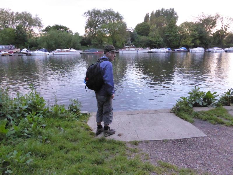
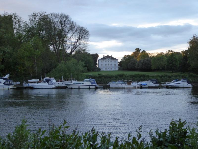
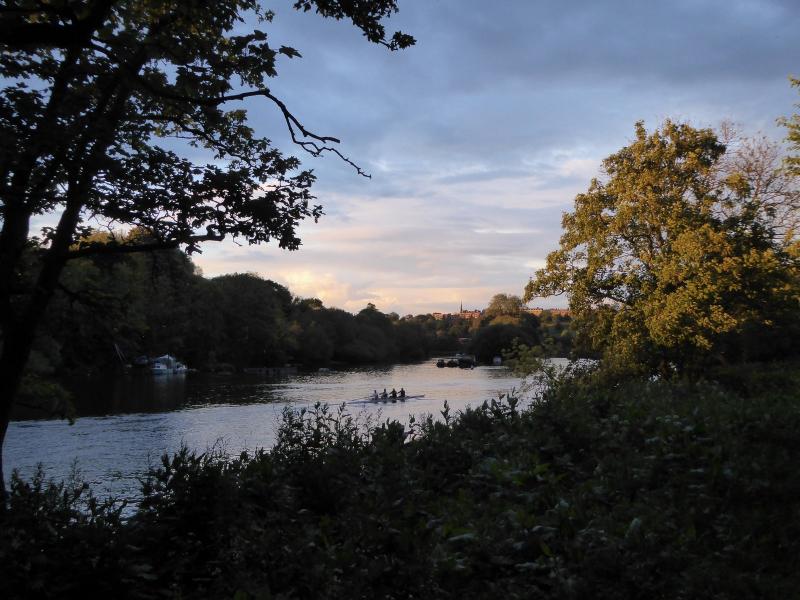
On our return leg some photographs of the Thames in late sunshine were taken.
We obtained the long table in the Waterman's Arms in good time to watch the 3 anti-Liverpool goals, eat Thai food and drink some perfect Young's bitter.
P.S. Paul Lawrence, annoyingly, got the 2 differences between the 2 Father Thames statues correct. The Ham one is intact whereas the Richmond cast has lost his left hand and big toe. Paul won no prize as the quiz master had a made a false assumption (missing right foot at Ham).
Photographs by Keith Lane and Paul Lawrence
Other Files
Download Walk ReportGPX
A GPX file of the above route may be downloaded by clicking the link below.
Note: GPX files of Group Walks are created by LDWA Group members, and may be downloaded only by other LDWA members. They should not be made available outside the LDWA, and are used at members' own risk.
Login to Download (Members Only)You can use the interactive controls to zoom in and out and to move around the map, or click on a path or a marker for more info. (interactive map help)
You can use the interactive controls to zoom in and out and to move around the map, or click on a path or a marker for more info. (interactive map help)
© OpenStreetMap contributors under Open Database Licence
Rights of way data from selected Local Authorities
Large scale digital mapping is provided by John Thorn
At high zoom levels the route is indicative only.
Gallery


Maps:
You can use the interactive controls to zoom in and out and to move around the map, or click on a marker for more info. (interactive map help)
© OpenStreetMap contributors under Open Database Licence.
Rights of way data from selected Local Authorities.
Large scale digital mapping is provided by John Thorn.


