


Evening walk commemorating Kathy LoRaso (Linear)
Wed 8th Jun 2016
Walk Details:
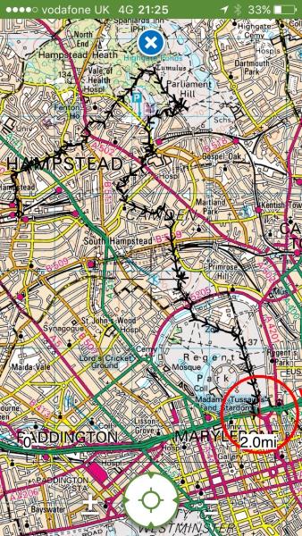
A linear walk visiting a few places that Kathy liked to roam around - Hampstead Village, Hampstead Heath, Primrose Hill, Regents Park
Entry Details:
Walk Report
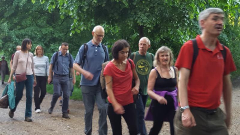
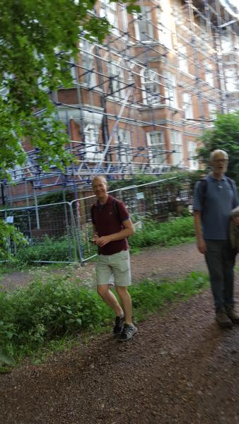
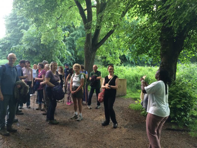
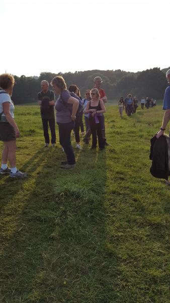
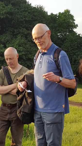
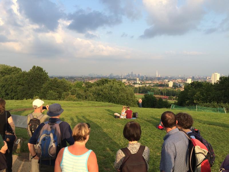
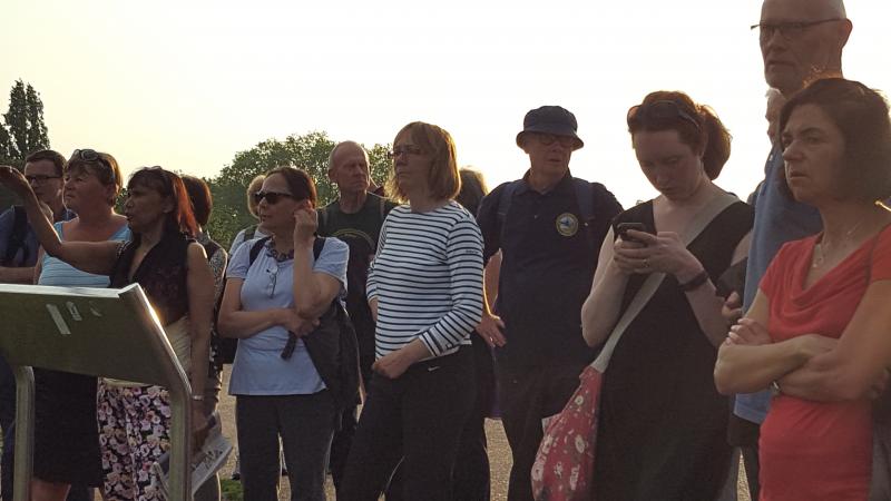
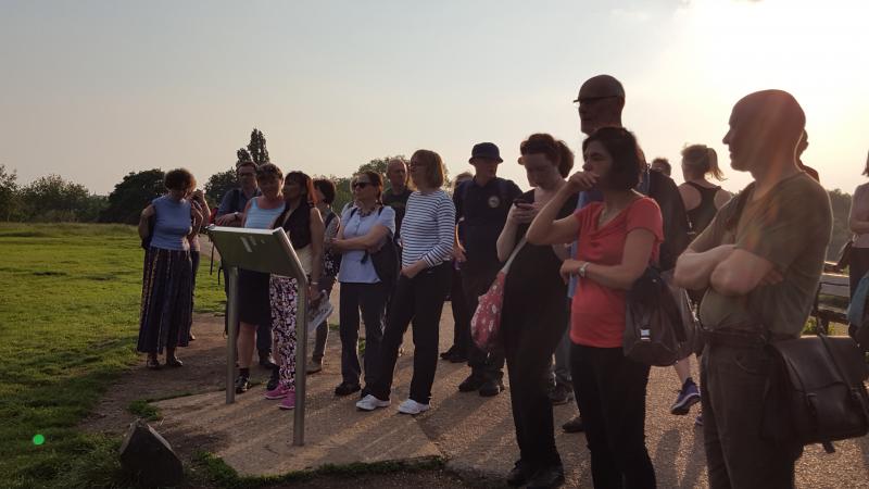
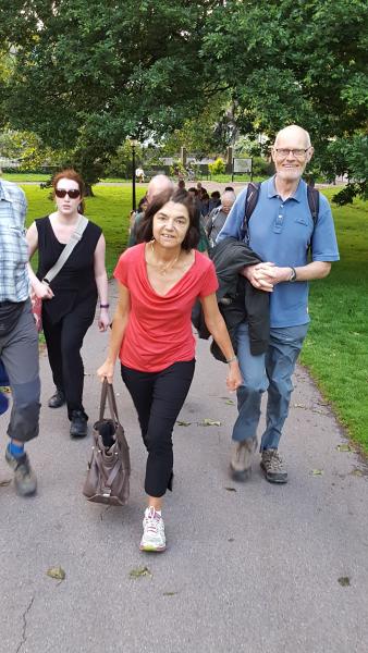
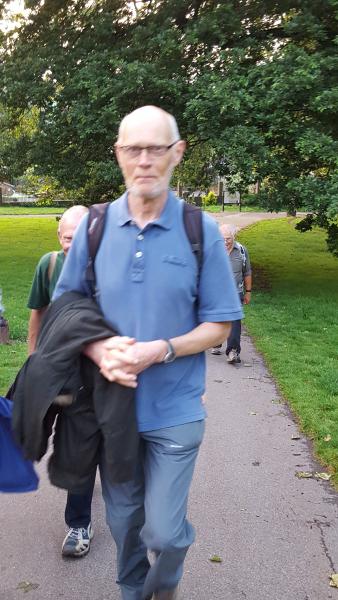
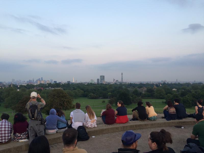
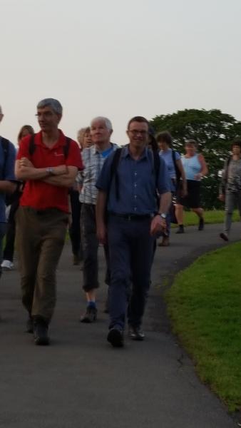
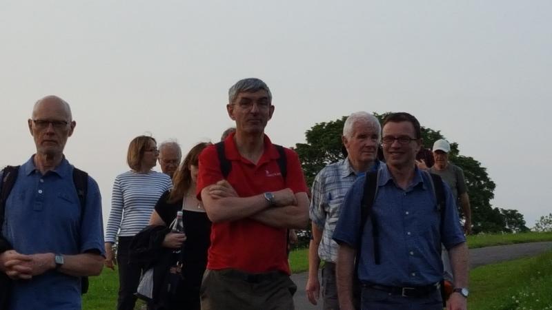
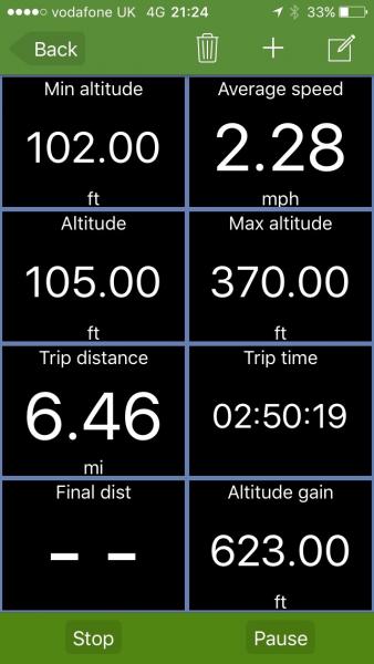
Evening Walk Commemorating Kathy LoRaso, Wednesday 8th June 201624 walkers, 6.5 miles - leader Godfrey O'Callaghan
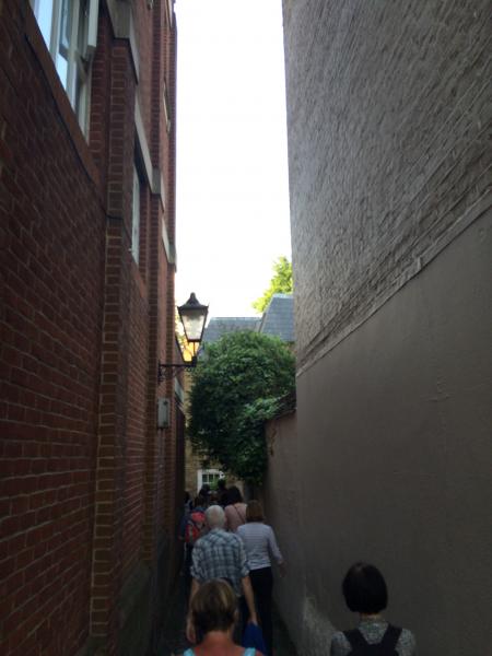
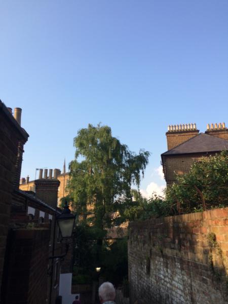
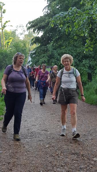
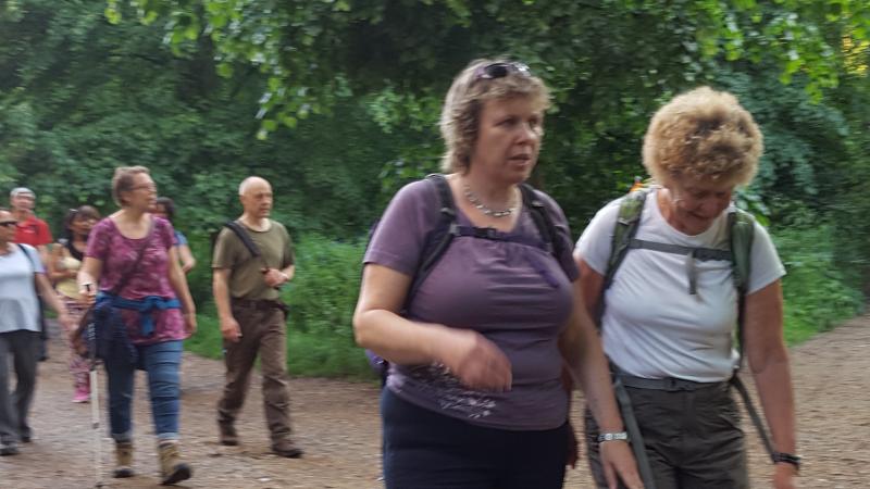
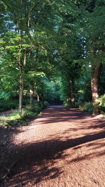
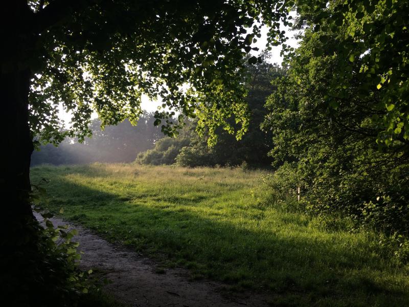
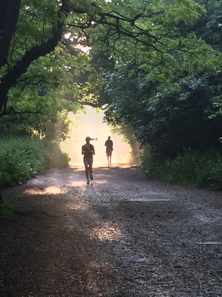
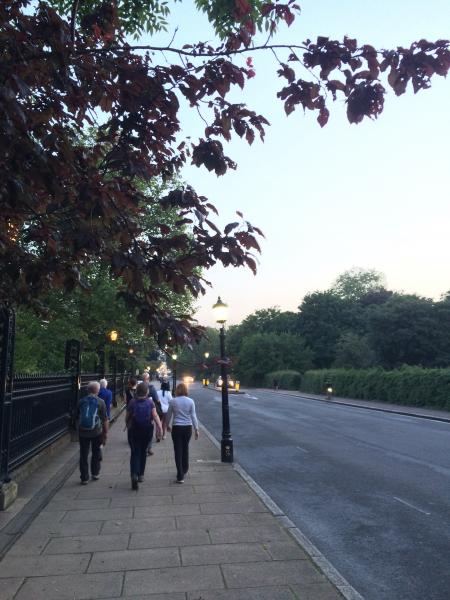
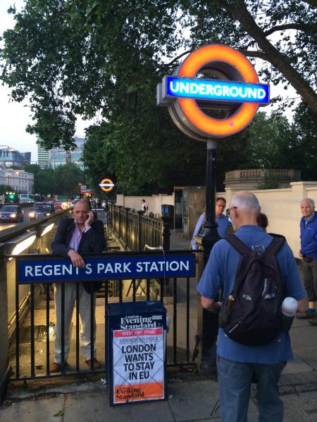
Some 24 walkers from both London Group and Central London Outdoor Group (CLOG) turned out for this evening walk of 6.5 miles in memory of Kathy. After an earlier heavy downpour the air cleared and the evening turned out to be quite wonderful for walking. The route took in many of her favourite paths and roads around Hampstead, Hampstead Heath, Primrose Hill and Regents Park. At a spot close to the Parliament Hill view point we stopped to reflect on the contribution Kathy had made to the two walking groups and for people to offer any personal memories of Kathy. We were not in a hurry, the walk being more of a meander, and therefore finished a later than normal, but all the better for it. The very last part through the lower gardens of Regents Park, in the deepening dusk light, heavy with evening fragrance. A time of day Kathy loved.
Photographs by Adam Dawson and Bola Baruwa
Other Files
Download Walk ReportGPX
A GPX file of the above route may be downloaded by clicking the link below.
Note: GPX files of Group Walks are created by LDWA Group members, and may be downloaded only by other LDWA members. They should not be made available outside the LDWA, and are used at members' own risk.
Login to Download (Members Only)You can use the interactive controls to zoom in and out and to move around the map, or click on a path or a marker for more info. (interactive map help)
You can use the interactive controls to zoom in and out and to move around the map, or click on a path or a marker for more info. (interactive map help)
© OpenStreetMap contributors under Open Database Licence
Rights of way data from selected Local Authorities
Large scale digital mapping is provided by John Thorn
At high zoom levels the route is indicative only.
Gallery


Maps:
You can use the interactive controls to zoom in and out and to move around the map, or click on a marker for more info. (interactive map help)
© OpenStreetMap contributors under Open Database Licence.
Rights of way data from selected Local Authorities.
Large scale digital mapping is provided by John Thorn.


