


AMENDED Afternoon walk: The City at Work (2016 edition)
Tue 24th May 2016
Walk Details:
Event Details Updated
Note:
* Amended (temporary) phone number 0740 1530 698
* Monument may be closed for temporary repairs so no longer included in itinerary
* Route extended to 9 miles
Event Type
Group Walk
Region
Southern England
Local Group
London
Distance
6ml.
Start Time
13.00
Route
Tower Hill Stn (Tower Of London Exit)
More lanes, byways and hidden passages of "The City" and beyond
General Notes
350 years since The Great Fire of London, an emphasis on visiting sites associated with the inferno, includes optional climb of The Monument (charges apply, 2015: £4 adult £2.70 conc.). Afternoon tea en-route.
Finish at 17.00 to allow time in "The Liberty Bounds", before Tower Hill - Stratford evening walk (see separate entry for details)
Web Site
Start
Finish
Entry Details:
Cost
Walk Report
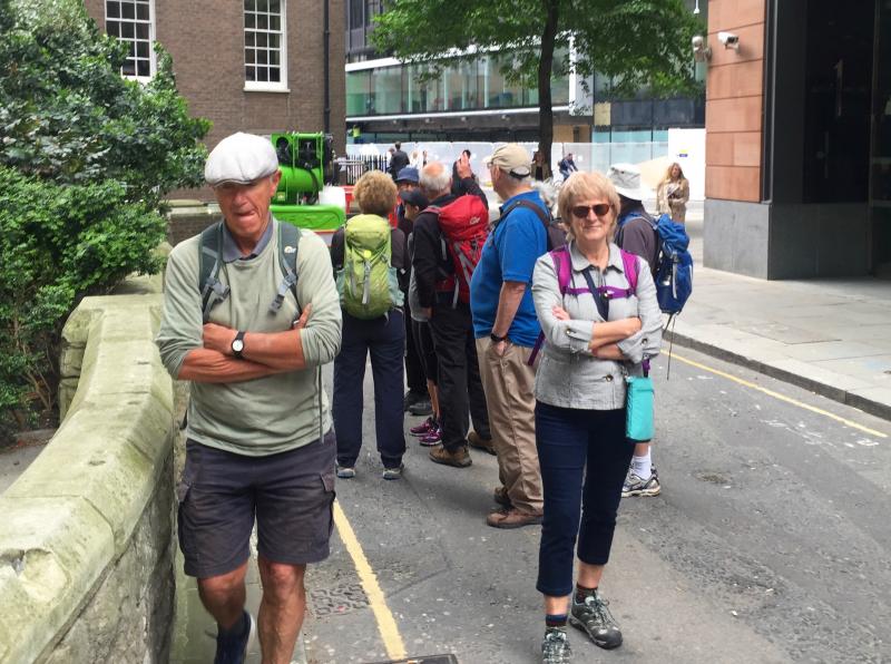
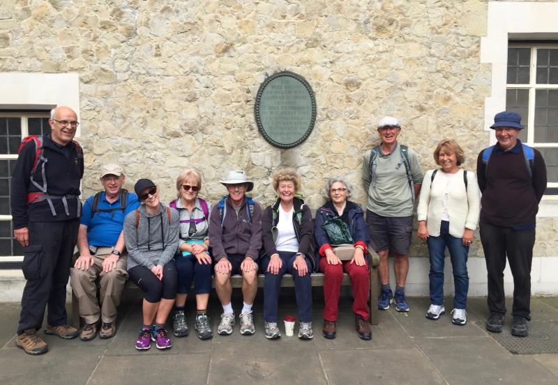
The City at Work (2016 edition), Tuesday 24th May 201611 walkers, 9 miles - leader Ron Williamson
In the afternoon, Ron led another incredibly detailed and thorough walk though London. This one traced the evidence of the Great Fire of London.
The 350th anniversary of the fire is on the 2nd September this year and you may think, as did the author, that there is very little evidence left of the event but as Ron showed us there are 18 surviving buildings and 18 memorials.
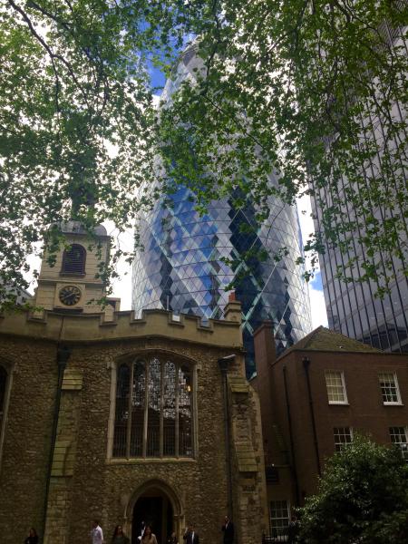
Ron also took us to the Wren churches built after the fire probably the most notable are St Mary Abchurch but restored) and St Stephen Walbrook which both have domes which preceded the great dome of St Paul's. The dome of St Mary Abchurch was rebuilt after the war following bomb damage. It shows a simpler dome than St Stephen's which is smaller but closer to the great of St Paul's Cathedral - a clear progression.
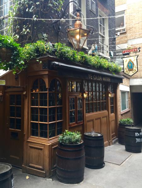
We also traced the history of synagogues, hard to find pubs and, of course the modern buildings littering the City.
In all Ron the walk consisted of 190 turns, 175 thoroughfares (but not one Road) - and 22 tired feet.
Report and photographs by Keith Lane
Other Files
Download Walk ReportGallery

Maps:
You can use the interactive controls to zoom in and out and to move around the map, or click on a marker for more info. (interactive map help)
Contains Ordnance Survey data © Crown copyright and database right 2016.
© OpenStreetMap contributors under Open Database Licence.
Rights of way data from selected Local Authorities.
Large scale digital mapping is provided by John Thorn.
© OpenStreetMap contributors under Open Database Licence.
Rights of way data from selected Local Authorities.
Large scale digital mapping is provided by John Thorn.


