


Springtime in London
Tue 12th Apr 2016
Walk Details:
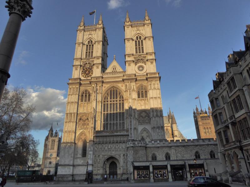
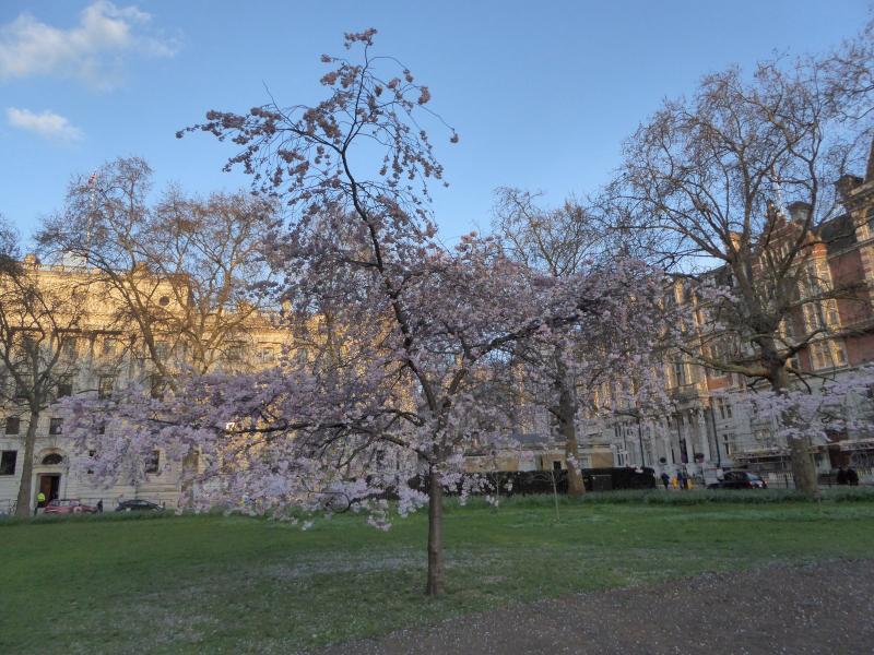
Along the Thames Path across the river to pass The Palace of Westminster, a medieval Abbey and include the royal parks with hopefully an abundance of spring flowers, finishing at Trafalgar Square
Entry Details:
Walk Report
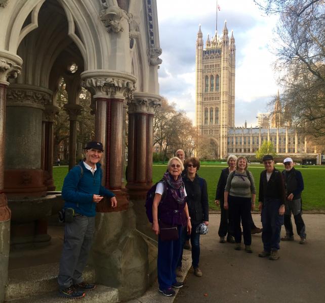
Springtime in London, Tuesday 12th April 201612 walkers, 6 miles - leader Susan Cannell
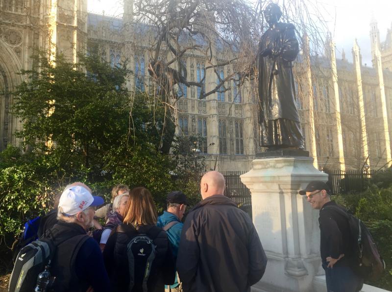
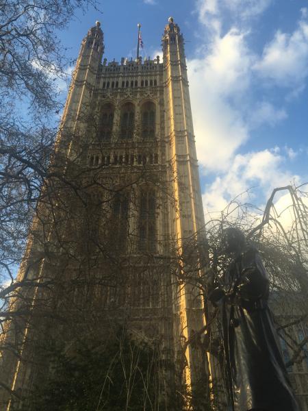
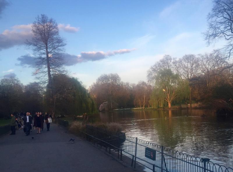
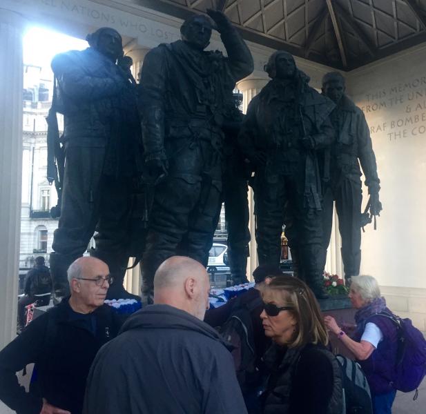
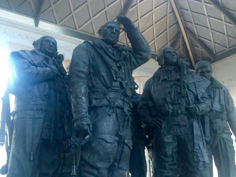
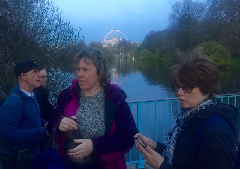
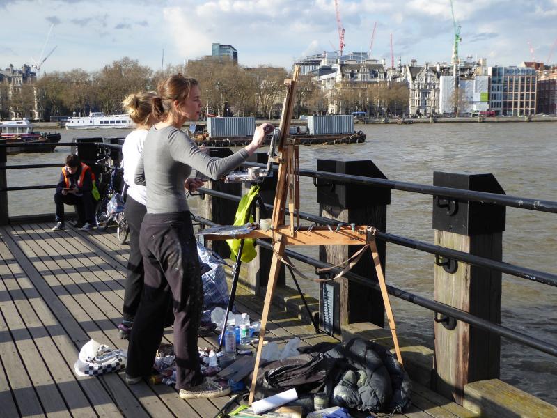
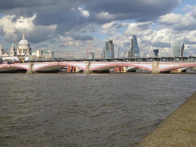
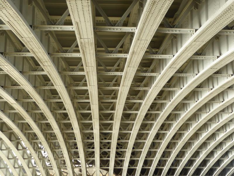
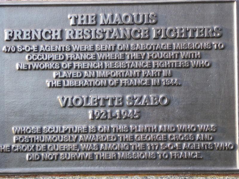
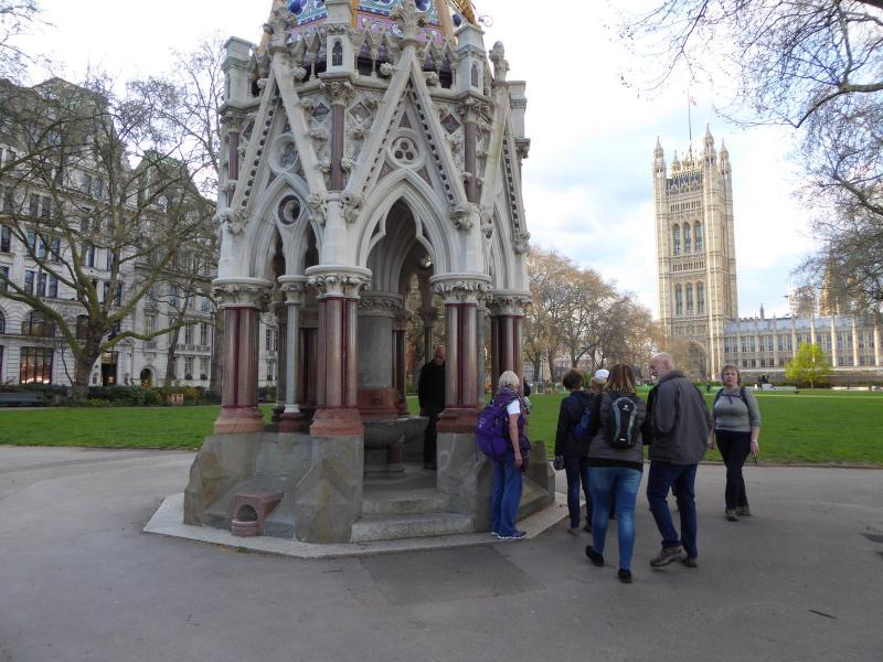
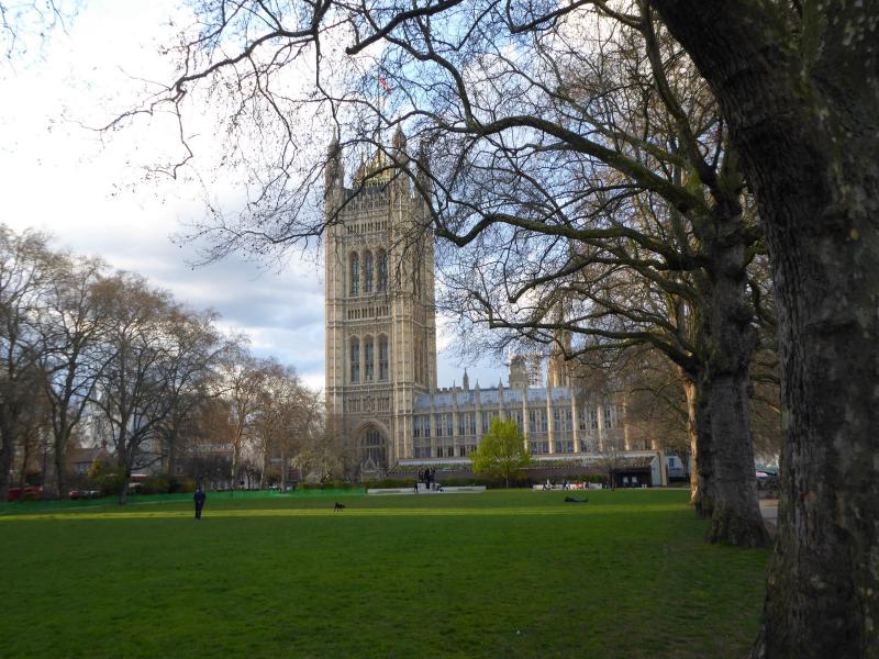
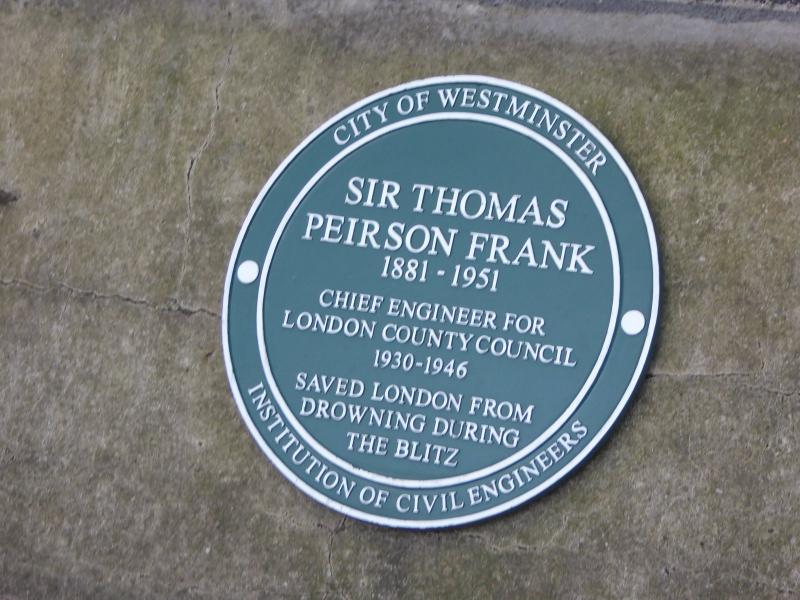
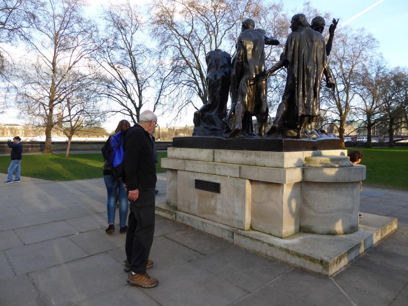
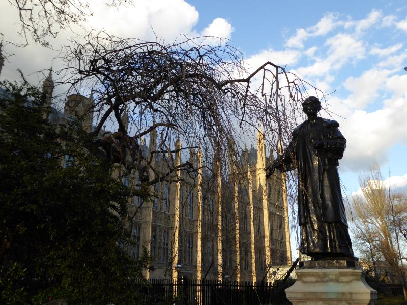
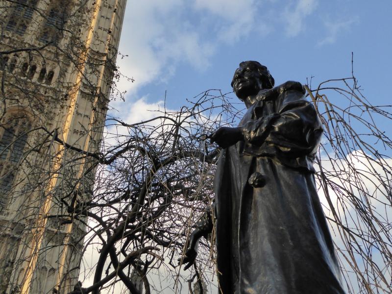
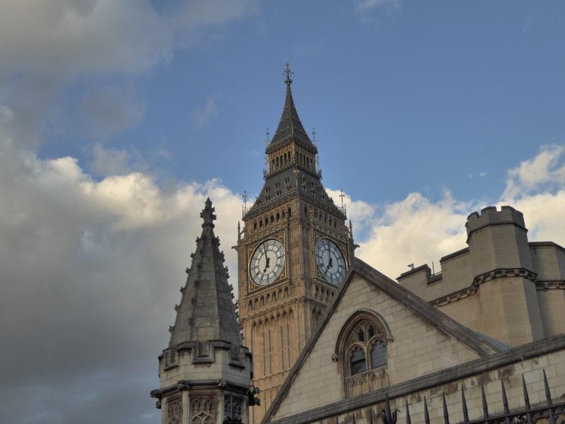
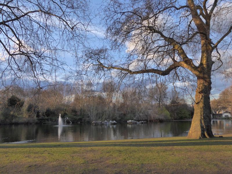
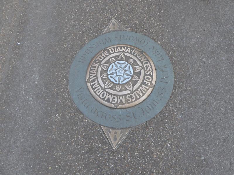
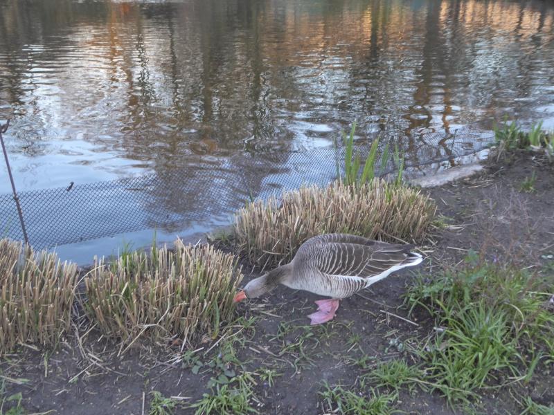
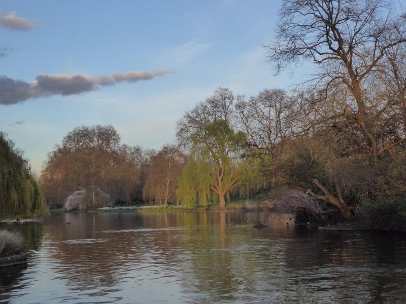
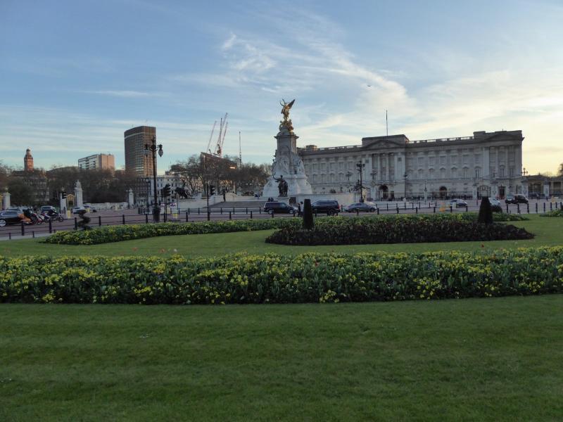
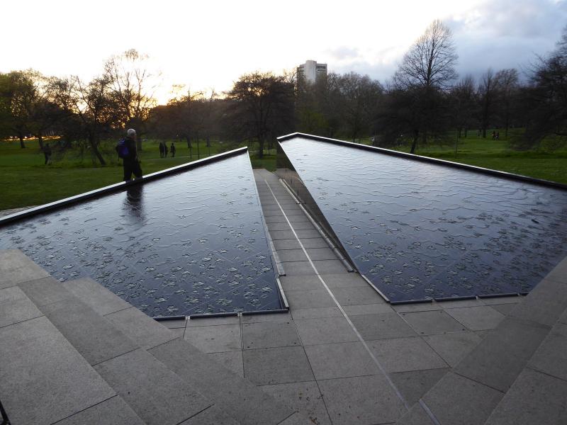
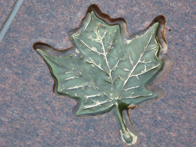
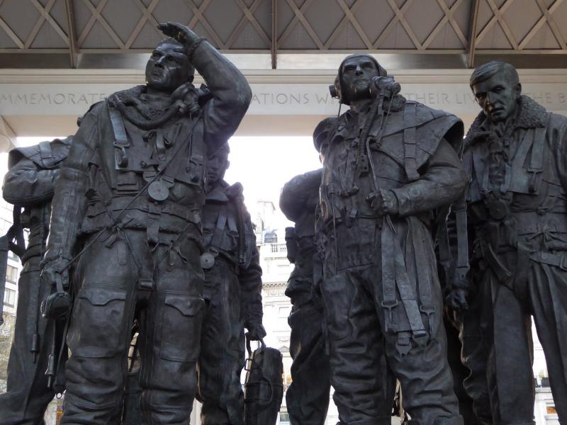
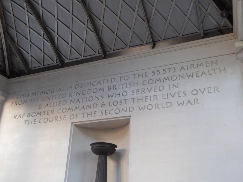
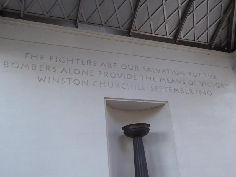
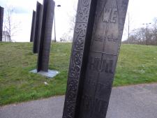
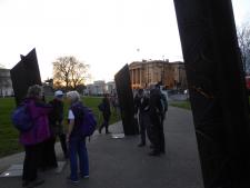
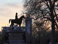
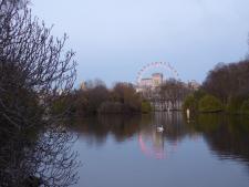
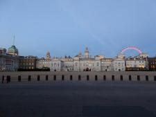
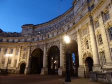
A total of 12 like-minded walkers set off along the Thames Path (south side) in a westerly direction to Lambeth Bridge. Crossing to north side making our way to the Houses of Parliament we stopped briefly to look at some of the significant memorials and a statue of Emmeline Pankhurst. Circling both St James' and Green Park we were treated to the natural beauty of spring such as trees in blossom, wild and cultivated flowers enjoying the mild weather together with a variety of very beautiful and moving monuments. Sadly time did not allow us to enjoy Hyde Park In its springtime glory. Finishing about 8.30 in Trafalgar Square we adjourned to a nearby hostelry to enjoy a well-earned drink, food and time to catch up with friends. Thanks to everyone who came.
Photographs by Keith Lane and Paul Lawrence
Other Files
Download Walk ReportGPX
A GPX file of the above route may be downloaded by clicking the link below.
Note: GPX files of Group Walks are created by LDWA Group members, and may be downloaded only by other LDWA members. They should not be made available outside the LDWA, and are used at members' own risk.
Login to Download (Members Only)You can use the interactive controls to zoom in and out and to move around the map, or click on a path or a marker for more info. (interactive map help)
You can use the interactive controls to zoom in and out and to move around the map, or click on a path or a marker for more info. (interactive map help)
© OpenStreetMap contributors under Open Database Licence
Rights of way data from selected Local Authorities
Large scale digital mapping is provided by John Thorn
At high zoom levels the route is indicative only.
Gallery


Maps:
You can use the interactive controls to zoom in and out and to move around the map, or click on a marker for more info. (interactive map help)
© OpenStreetMap contributors under Open Database Licence.
Rights of way data from selected Local Authorities.
Large scale digital mapping is provided by John Thorn.


