


Walk in memory of Kathy LoRaso. 2 distances.
Sat 30th Apr 2016
Walk Details:
Based on Founders Challenge short walk. 10ml walk will finish at Gomshall
Entry Details:
Walk Report
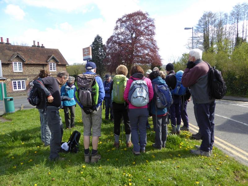
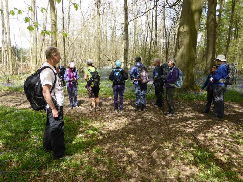
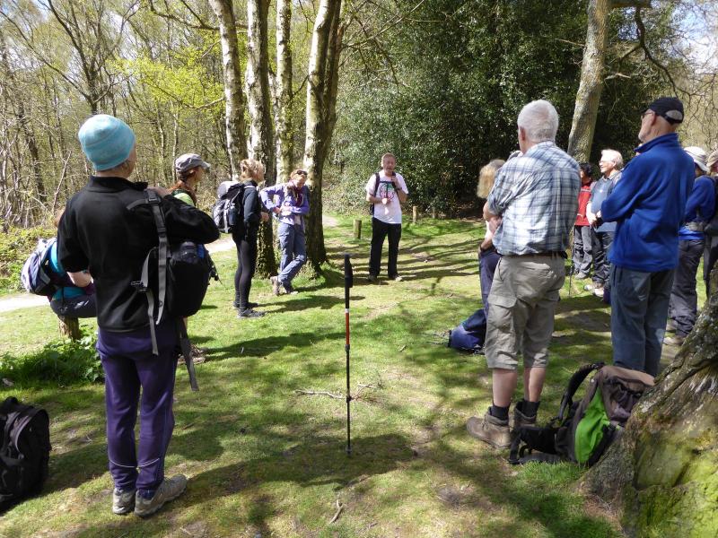
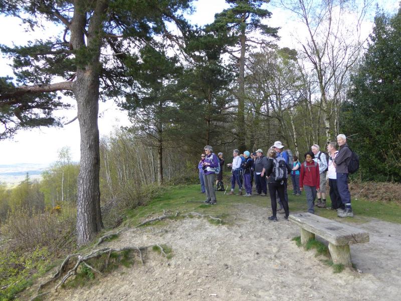
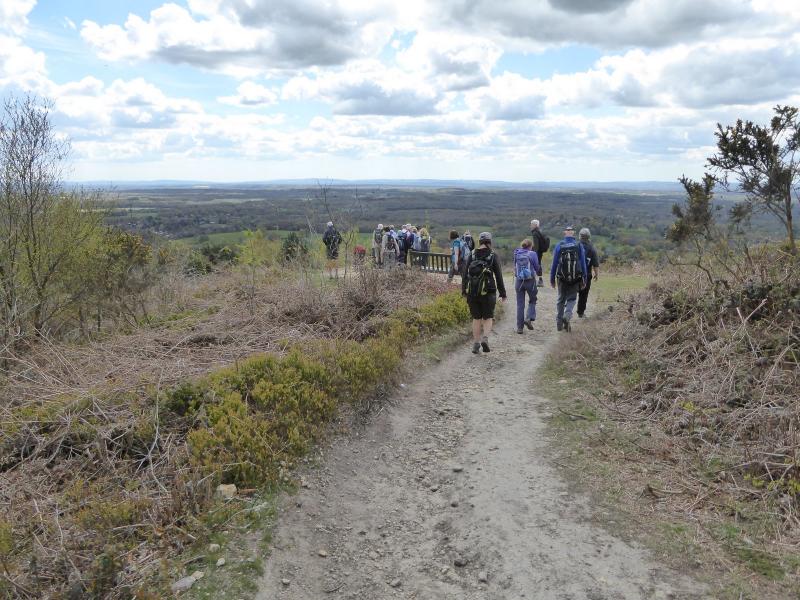
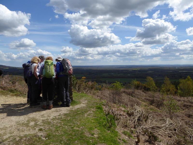
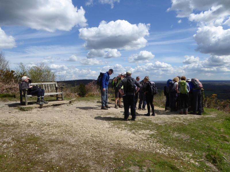
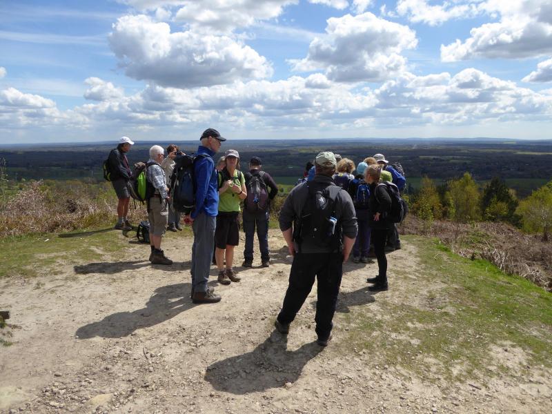
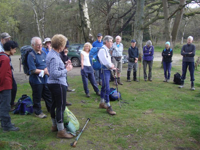
Kathy LoRaso Memorial Walk, Saturday 30th April 201625 walkers, 9-18 miles - leader Don Newman
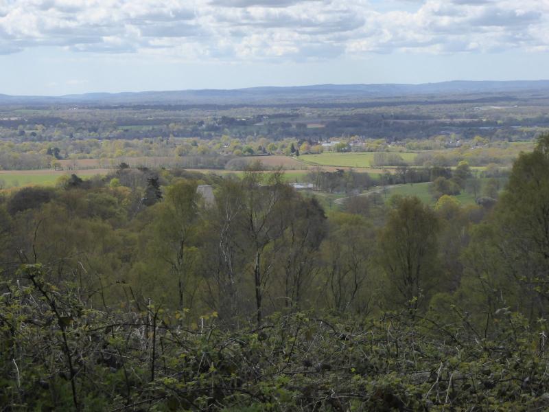
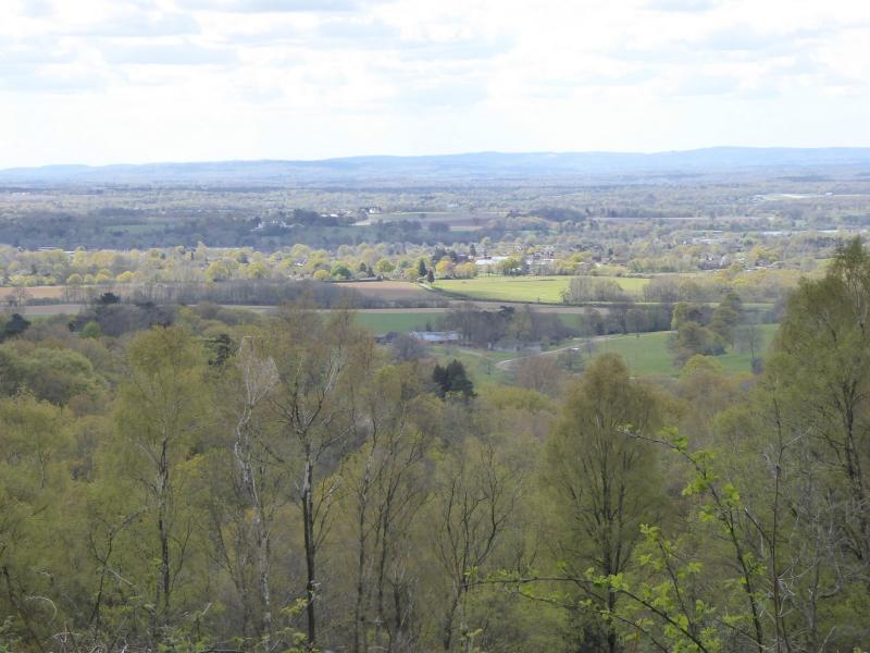
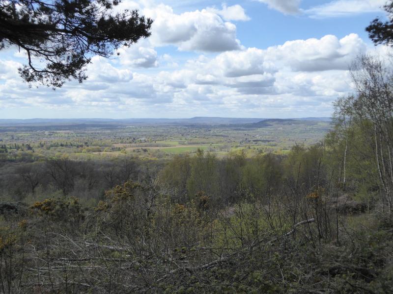
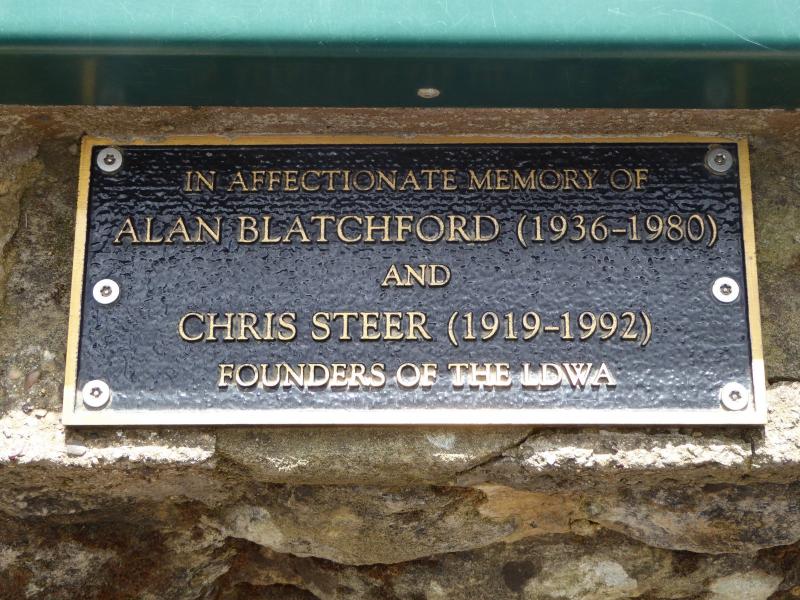
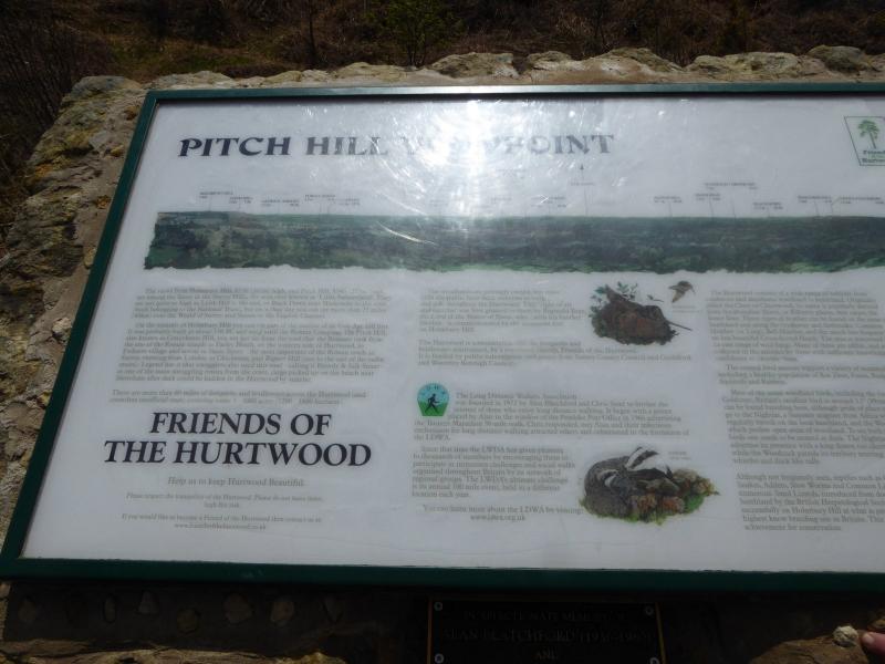
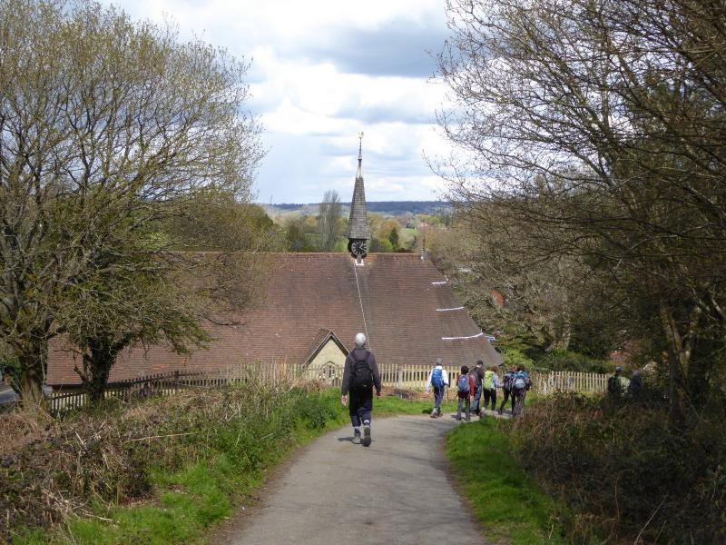
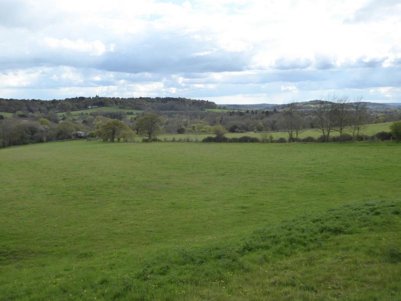
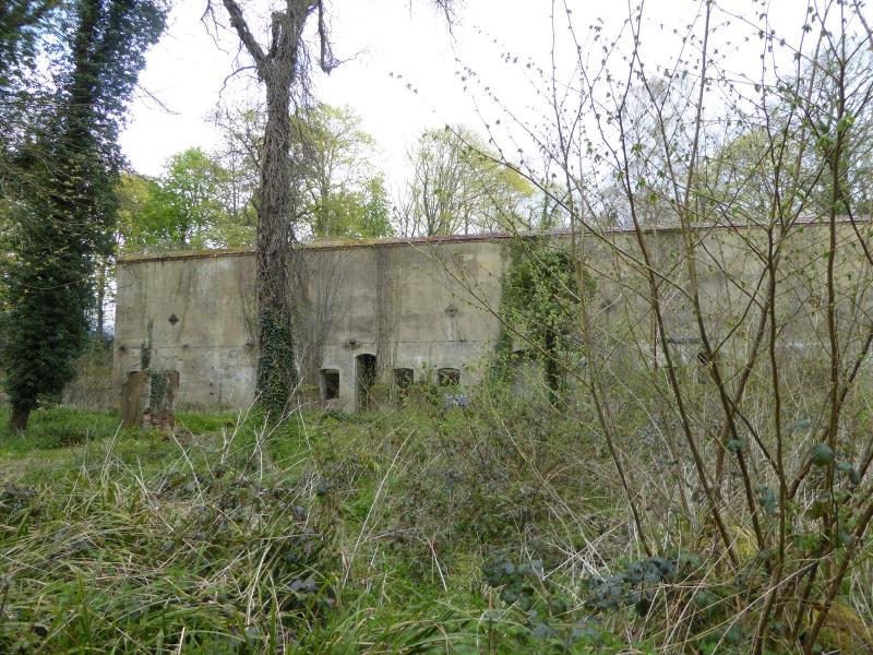
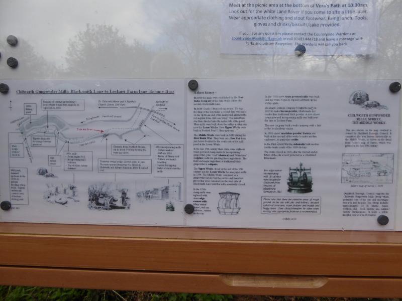
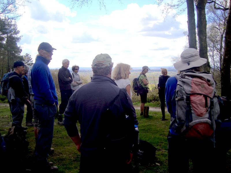
A joint walk with CLOG (Central London Outdoor Group) to remember Kathy LoRaso, a member of both groups, who passed away in 2015. There was a shorter circular version, and a longer linear option that most took back to Guildford. The walk remembered and celebrated the contribution Kathy LoRaso made on the group committee and for her catering and other duties at the Founders Challenge and the National Hundred. A little on the cool side, the weather otherwise delivered a perfect spring day. It combined with the fresh spring colours in this most beautiful part of Surrey for a very memorable occasion and one which Kathy herself would have been very enthusiastic about. The walk was based on the Founders Challenge short route with lunch at the Hurtwood Inn. During the walk the group gathered at a viewpoint on Winterfold Hill and, led by Don, recalled some personal and very individual memories of Kathy.
Report by Godfrey O'Callaghan
Photographs by Paul Lawrence and Don Newman
Other Files
Download Walk ReportGPX
A GPX file of the above route may be downloaded by clicking the link below.
Note: GPX files of Group Walks are created by LDWA Group members, and may be downloaded only by other LDWA members. They should not be made available outside the LDWA, and are used at members' own risk.
Login to Download (Members Only)You can use the interactive controls to zoom in and out and to move around the map, or click on a path or a marker for more info. (interactive map help)
You can use the interactive controls to zoom in and out and to move around the map, or click on a path or a marker for more info. (interactive map help)
© OpenStreetMap contributors under Open Database Licence
Rights of way data from selected Local Authorities
Large scale digital mapping is provided by John Thorn
At high zoom levels the route is indicative only.
Gallery


Maps:
You can use the interactive controls to zoom in and out and to move around the map, or click on a marker for more info. (interactive map help)
© OpenStreetMap contributors under Open Database Licence.
Rights of way data from selected Local Authorities.
Large scale digital mapping is provided by John Thorn.


