


Tilehurst to Twyford
Sat 13th Feb 2016
Walk Details:
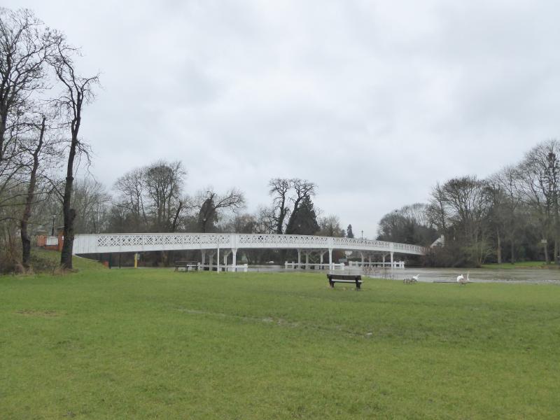
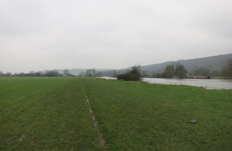
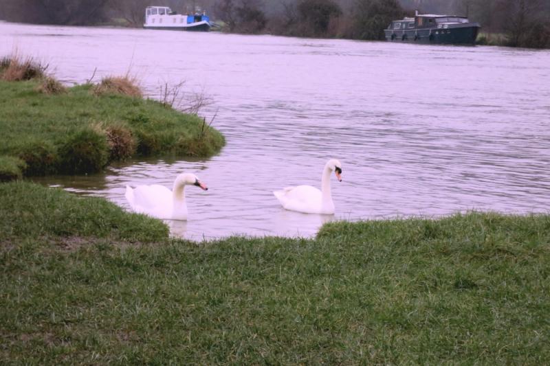
A walk around the Thames and the Chilterns passing the villages of Panghourne, Whitchurch on Thames, Sonning, Charvil and Twyford. Pub lunch at Gallowstree Common
Entry Details:
Walk Report
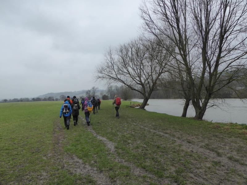
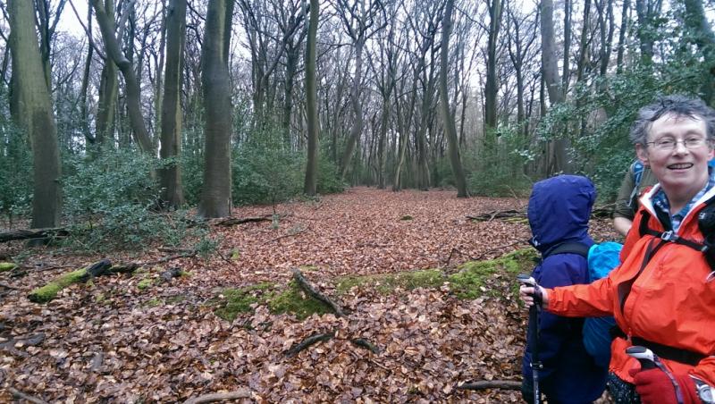
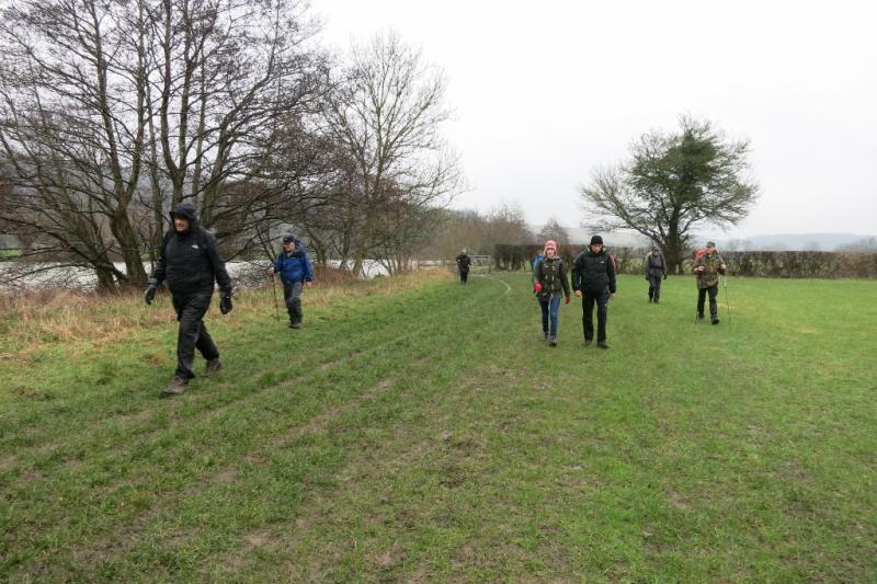
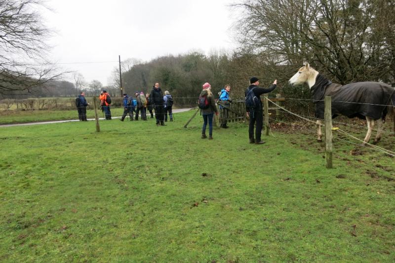
Tilehurst to Twyford, Saturday 13th February 201616 walkers, 18 miles - leader Peter Buchwald
Lissom tree spirits entwined their lithe bodies
While they performed their naked winter dances
In forests with tall trees bereft of leaves
And naiads in the valleys wet their muddy beds.
Lunch at the Reformation in Gallowstree Common
Where we discussed the reign of Henry the Eighth
Eating soup and sandwiches under leadened skies
While steam evaporated from our dampened clothes.
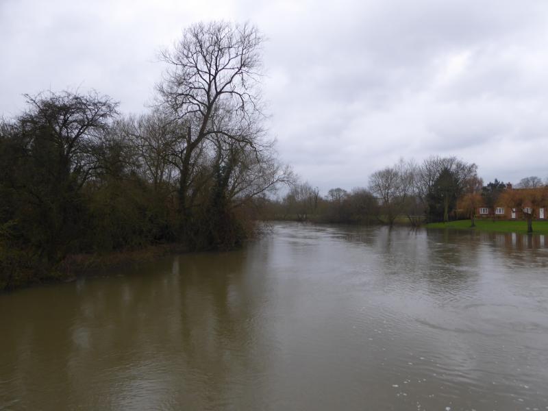
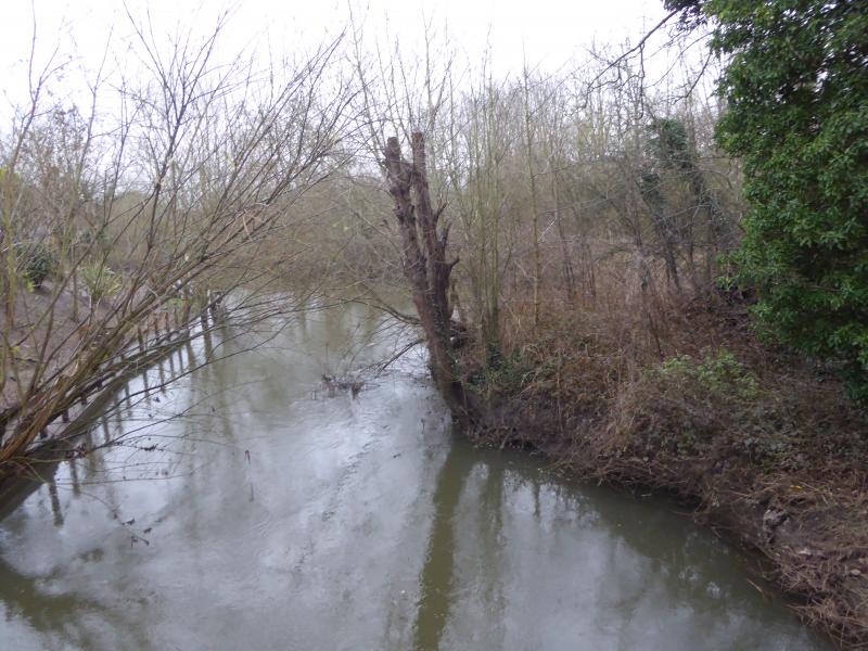
Bare fields had turned to a quaggy slippy morass
And our feet sank ankle deep into the liquid mud
Different kinds of drizzle pattered on our heads
As we walked towards the tattoo parlours of Twyford.
Photographs by Peter Buchwald and Paul Lawrence
Other Files
Download Walk ReportGPX
A GPX file of the above route may be downloaded by clicking the link below.
Note: GPX files of Group Walks are created by LDWA Group members, and may be downloaded only by other LDWA members. They should not be made available outside the LDWA, and are used at members' own risk.
Login to Download (Members Only)You can use the interactive controls to zoom in and out and to move around the map, or click on a path or a marker for more info. (interactive map help)
You can use the interactive controls to zoom in and out and to move around the map, or click on a path or a marker for more info. (interactive map help)
© OpenStreetMap contributors under Open Database Licence
Rights of way data from selected Local Authorities
Large scale digital mapping is provided by John Thorn
At high zoom levels the route is indicative only.
Gallery

Maps:
You can use the interactive controls to zoom in and out and to move around the map, or click on a marker for more info. (interactive map help)
© OpenStreetMap contributors under Open Database Licence.
Rights of way data from selected Local Authorities.
Large scale digital mapping is provided by John Thorn.


