
Lambourn Lollop
Sun 25th Oct 2015
Walk Details:
Event Type
Group Walk
Region
Southern England
Local Group
Thames Valley
Distance
c21ml.
Start Time
09.00
Route
Lambourn c.p
General Notes
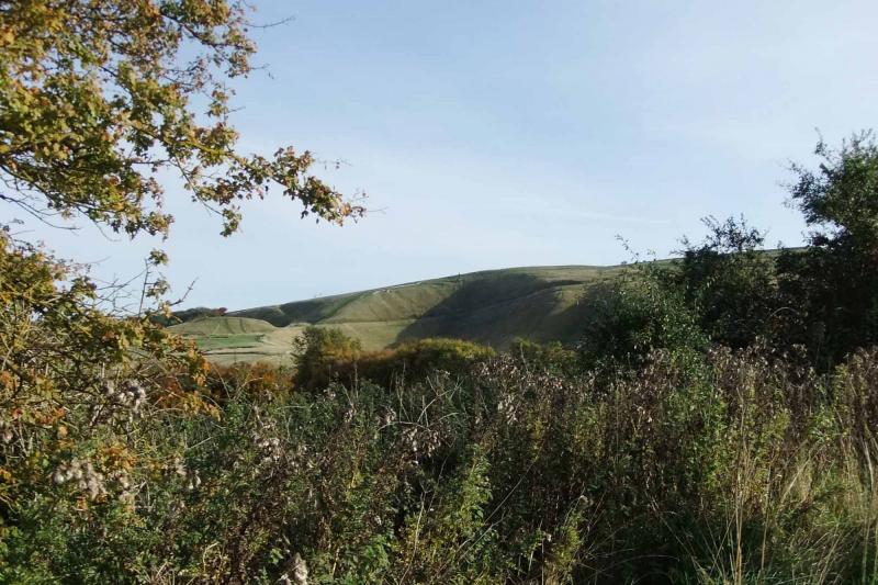
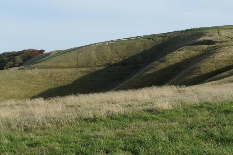
Part of Lambourn Valley Way, downland gallops, Devil's Punchbowl, White Horse. An equine extravaganza with both ancient and modern horses
Web Site
Start and Finish
Entry Details:
Cost
Walk Report
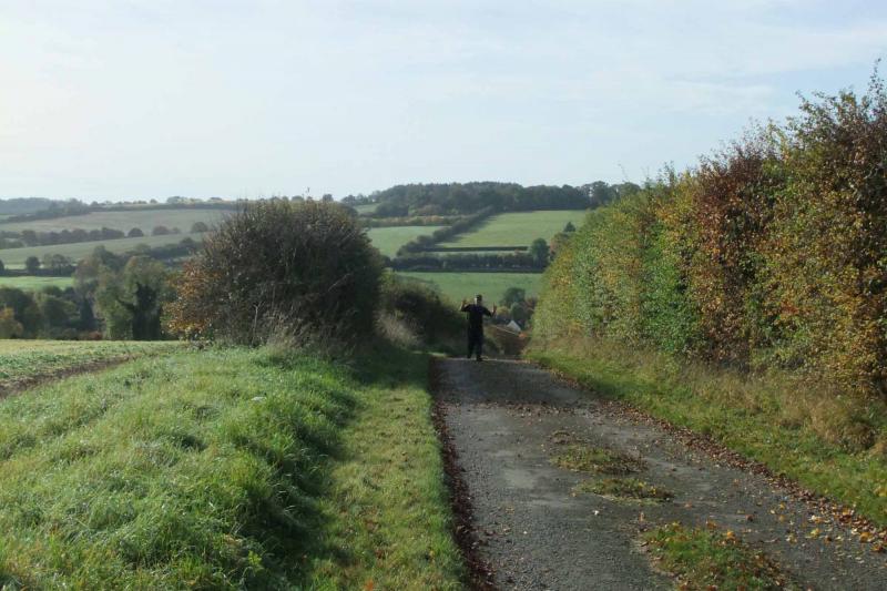
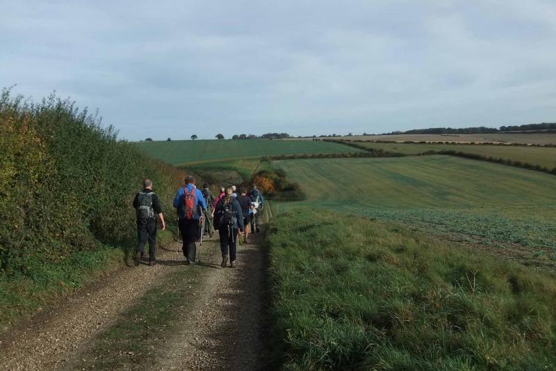
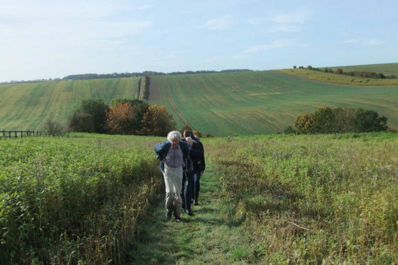
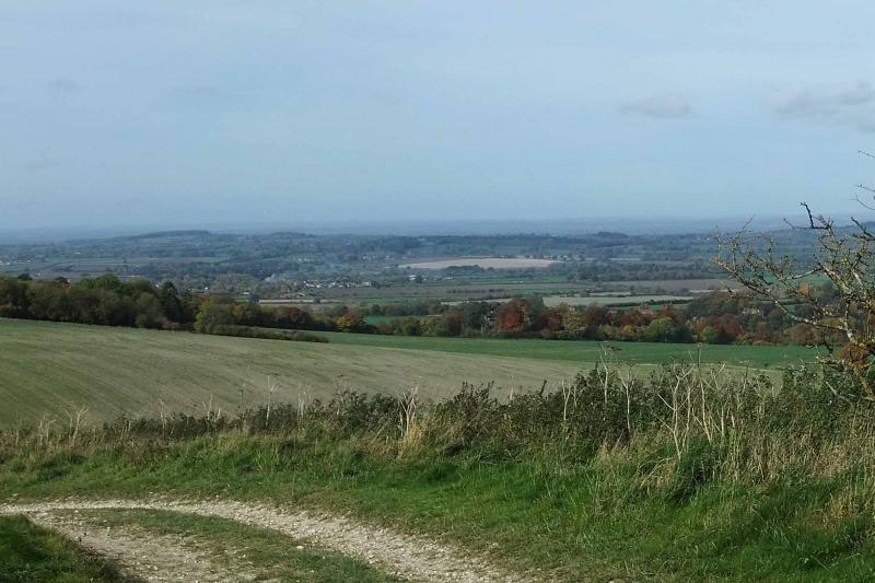
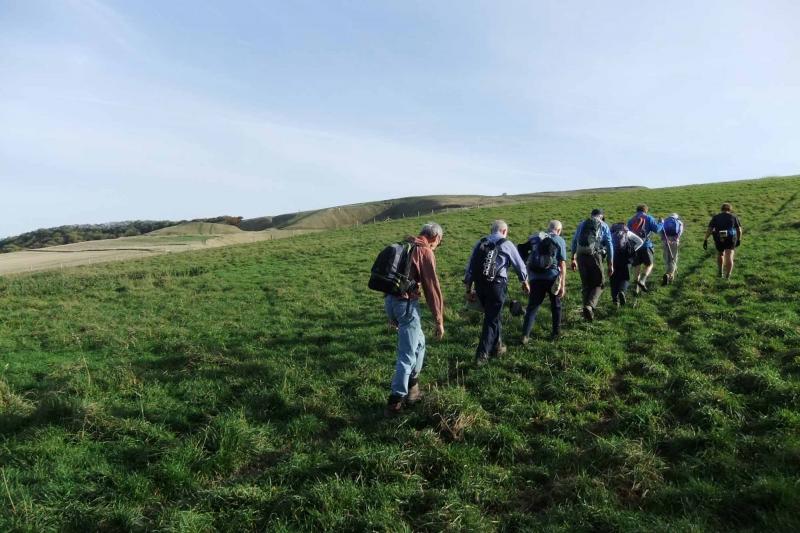
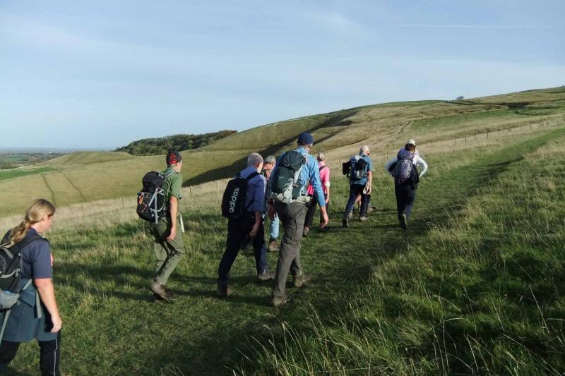
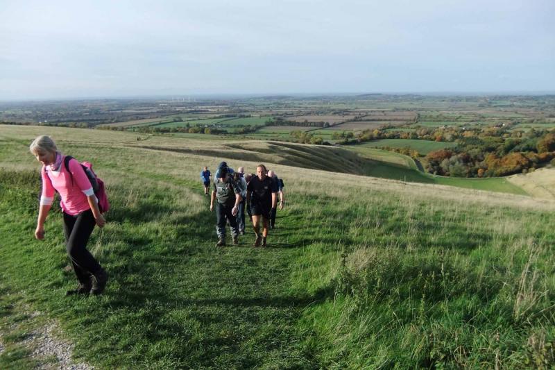
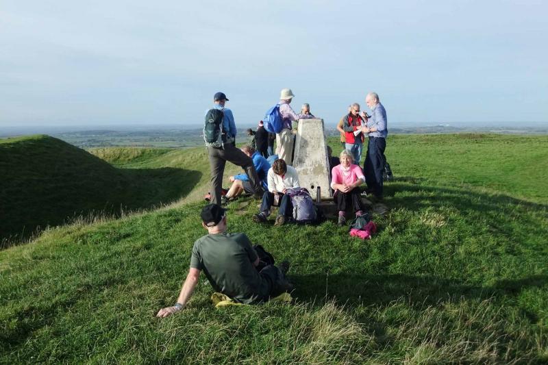
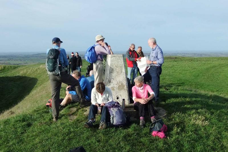
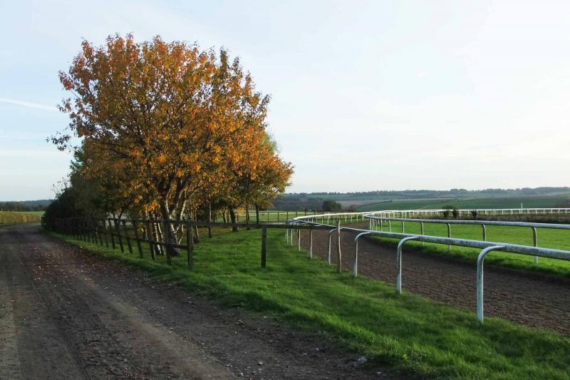
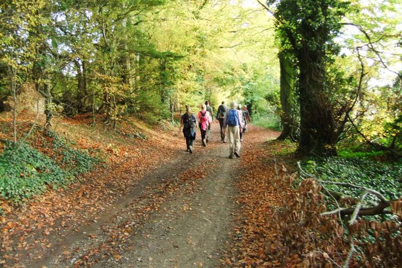
An eclectic group of 14 people from I think as many as 4 local groups came under starter's orders at 9am on Sunday 25th October 2015 and reached the finishing straight around 4.30pm well before dark. The route was upwards of 22 miles, 23 according to the GPS users on the day. In cool but clear conditions we headed south-east along the Lambourn Valley Way to East Garston with a little circuit past the thatched cottages there, then north to the Ridgeway via a morning stop, then west to Sparsholt Firs just after which we descended to the north of the Ridgeway. On the high ground, it was T-shirt weather for many, the weather being the exact inverse of my recce when it was winter Paramo weather on the Ridgeway in a brisk north wind but warm and sunny to the south.Lunch for some, dried seaweed (?) for others was at the village of Sparsholt, then came some navigation on a bearing across freshly ploughed fields and non-re-instated paths and past a couple more pretty villages until we were at the foot of the White Horse Hill. The trig point at Uffington Castle seemed a fitting mid-afternoon stop with clear views. The return to Lambourn followed the Lambourn Valley Way at a fairly brisk pace inspired perhaps by the gallops but also the rapidly cooling conditions. A permissive path through autumnal woods to the north of Lambourn added a final splash of colour. As far as the equestrian experience was concerned we saw a plastic horse, a chalk one, and a smartly turned out twin-horse-drawn trap on the Ridgeway, but the racehorses were of course long gone.
Photos by Helen Abbott.
Other Files
GPX
A GPX file of the above route may be downloaded by clicking the link below.
Note: GPX files of Group Walks are created by LDWA Group members, and may be downloaded only by other LDWA members. They should not be made available outside the LDWA, and are used at members' own risk.
Login to Download (Members Only)You can use the interactive controls to zoom in and out and to move around the map, or click on a path or a marker for more info. (interactive map help)
You can use the interactive controls to zoom in and out and to move around the map, or click on a path or a marker for more info. (interactive map help)
Contains Ordnance Survey data © Crown copyright and database right 2016.
© OpenStreetMap contributors under Open Database Licence
Rights of way data from selected Local Authorities
Large scale digital mapping is provided by John Thorn
At high zoom levels the route is indicative only.
© OpenStreetMap contributors under Open Database Licence
Rights of way data from selected Local Authorities
Large scale digital mapping is provided by John Thorn
At high zoom levels the route is indicative only.
Gallery
Maps:
You can use the interactive controls to zoom in and out and to move around the map, or click on a marker for more info. (interactive map help)
Contains Ordnance Survey data © Crown copyright and database right 2016.
© OpenStreetMap contributors under Open Database Licence.
Rights of way data from selected Local Authorities.
Large scale digital mapping is provided by John Thorn.
© OpenStreetMap contributors under Open Database Licence.
Rights of way data from selected Local Authorities.
Large scale digital mapping is provided by John Thorn.


