


CORRECTED GRID REFERENCE Borough Green
Sun 21st Feb 2016
Walk Details:
Event Details Updated
NOTE: Grid ref changed - it was incorrectly displayed on the website and is wrong in "Strider"
Event Type
Group Walk
Region
Southern England
Local Group
London
Distance
20ml.
Start Time
09.30
Route
Meet Borough Green stn (08.24 from Victoria)
Circular walk from Borough Green
General Notes
Pub lunch near Ivy Hatch
Web Site
Start
Finish
Entry Details:
Cost
Walk Report
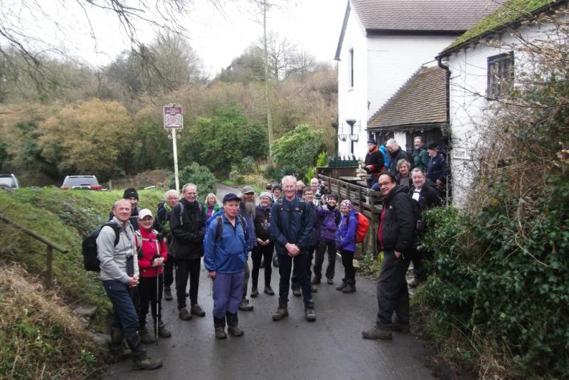
Borough Green, Sunday 21st February 201633 walkers, 20 miles - leader Peter Jull
Wow 33! 60% Kent, 4 Sussex, the rest London.
For once the first muddy fields were not the shape of things to come. In Platt Wood the paths were nice and bouncy but multifarious and unmarked. After a long loop we emerged back where we had entered - oops.
Then ouch, a pavement trip with flat on face landing and we were down to 32. Not the bloodied fat lip but an unrelated tweaked hamstring, herpling back to the station. A detour completed, the wood was re-entered using the Wealdway, expecting it to be better signed. It was and on the other side we were back on track across the golf course, albeit half an hour late.
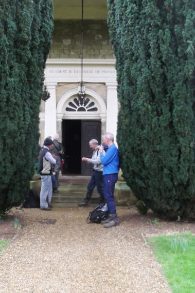
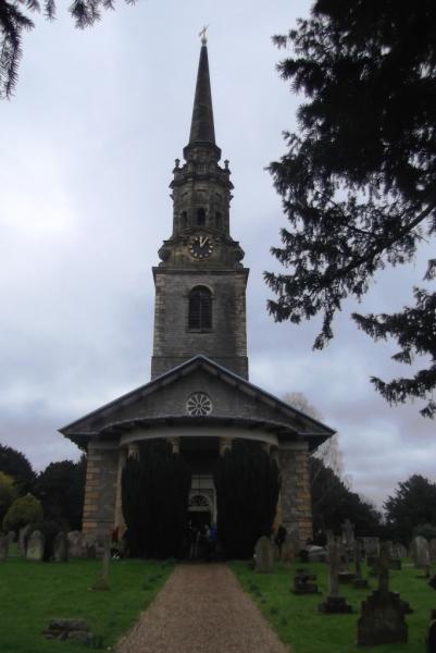
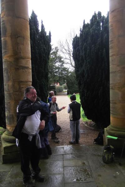
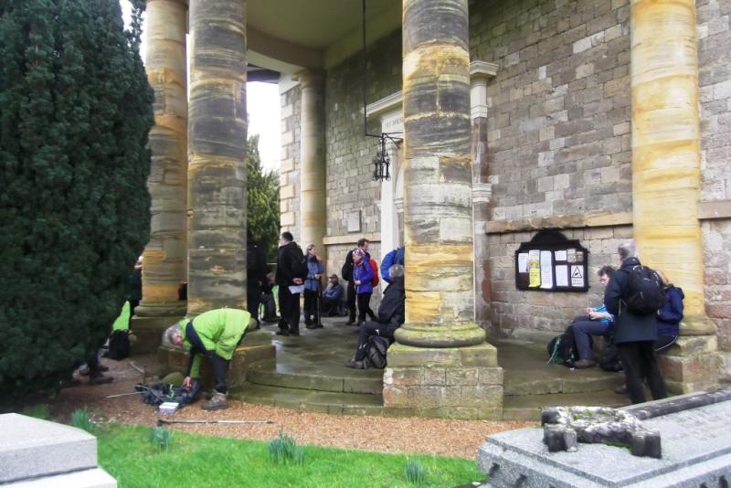
Assorted wees, laces and delayerings spread the field until regrouped at our eastern limit by Offham village green, From there it was straight south but stile congestion spread the field again. We couldn't make Merry in Mereworth as the village pub had recently closed down so we regrouped for refreshments in the churchyard around the church portico - Mereworth church is 18th century Palladian extravagance in style.
A local lady invited inspection of the interior and many took up the opportunity. The church clock had struck 12 on arrival and then marked the quarter as we departed before getting chilled. Despite overcast skies it was dry and mild but a stiff breeze making it feel less so out of shelter. Noses were assailed by the strong odour of boot crushed wild garlic in one wood leading to a deceptively perspirational climb up to the next.
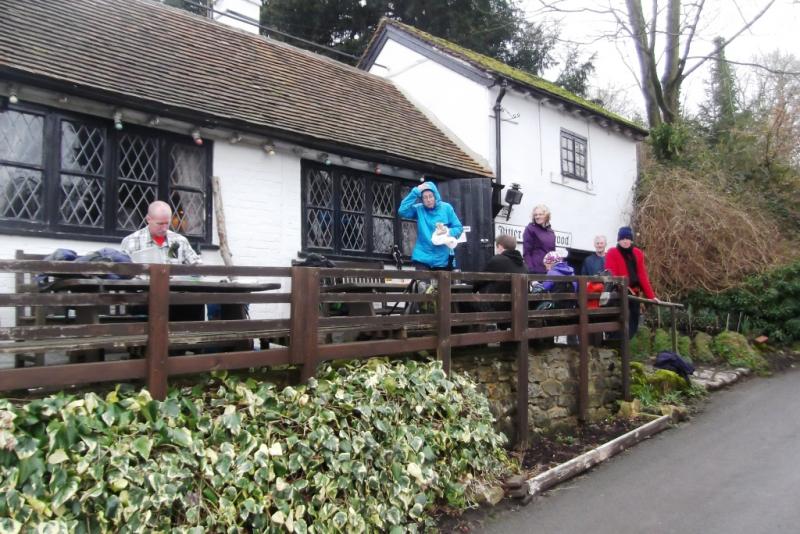
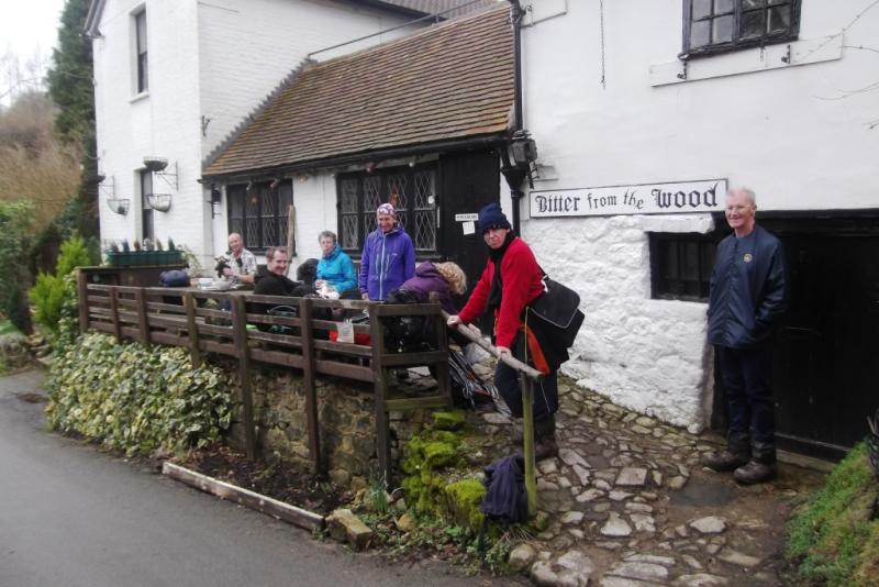
In here forestry work was obscuring the paths and left us crunching and stumbling over and through detritus and undergrowth. The exit track located it was down past Old Soar Manor (NT) and up through orchards to the next available pub, the isolated Golding Hop. At 2, food was finished and the beer queue long with drinkers inside and out.
Rested and recounted, which was only practically accurate when passing a point with so large a group; the size was also slowing the overall pace. Regrouped once more by St. Lawrence church high above Seal, the western extremities of the route were clipped but not the afternoon treat of 600ft high Oldbury Hill, steep steps up and steep gully down.
With expressions of hope for catching the 5.25, the next being an hour later, and stamina variances spreading the field again the long loop return on paths was substituted by shorter country roads and in the end we were home in time for tea, actually only coffee was available in the station Co-op, with 20 train minutes to spare.
Photographs by Peter Jull
Other Files
Download Walk ReportGallery

Maps:
You can use the interactive controls to zoom in and out and to move around the map, or click on a marker for more info. (interactive map help)
Contains Ordnance Survey data © Crown copyright and database right 2016.
© OpenStreetMap contributors under Open Database Licence.
Rights of way data from selected Local Authorities.
Large scale digital mapping is provided by John Thorn.
© OpenStreetMap contributors under Open Database Licence.
Rights of way data from selected Local Authorities.
Large scale digital mapping is provided by John Thorn.


