


19th Founders' Challenge
Sat 3rd Oct 2015
Walk Details:
Event Details Updated
.
Event Type
Challenge Event
Region / Area
Southern England / Surrey Hills
Local Group
London
Distance
26.2 or 16.2ml.
Start Time
Start: 09.15
Route
From Peaslake Memorial Hall, Surrey
Circular route from Peaslake Memorial Hall. Two options are offered - 26.2ml and 16.2ml. Note that significant changes have been made to both routes compared to previous years so see the Founders' website (details below) for up to date information
General Notes
All information relating to this challenge event is on the LDWA London website at:
http://www.ldwa.org.uk/London/W/3637/2015.html
OR:
Click: (LDWA London website) ->Founders Challenge -> 2015
Start
Finish
Entry Details:
Cost
Entry: LDWA £10 in advance, £15 OTD; non-LDWA £15 in advance, £25 OTD (please book in advance if at all possible)
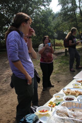
incl hot meal at end and light refreshments at some Cps
Online Entry
Walk Report
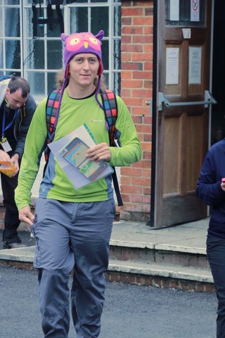
19th Founders Challenge, Saturday 3rd October 2015130 walkers, 16 or 27 miles - organiser Gordon Parker
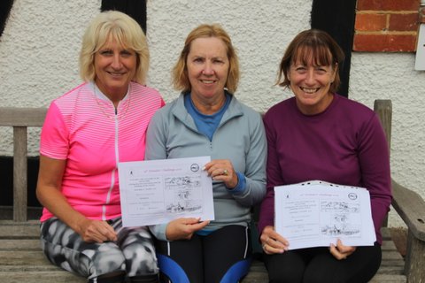
The LDWA London Group held the 19th edition of the Founders Challenge on a Saturday for the first time and three weeks earlier than usual. The event was first held in 1997, when it was called the Founders Jubilee Challenge. Tony Youngs devised a 26 mile route as a commemoration of the founding of the LDWA and the role of Alan Blatchford and Chris Steer in this. The route links various places connected to the origins of the LDWA in 1972: Blatchford Down, Steers Field, Tanners Hatch youth hostel, Pitch Hill and the old Peaslake Post Office, where the notice leading to the founding of the LDWA was placed. Tony was an excellent artist and his line drawings decorate the Founders' Challenge certificate.
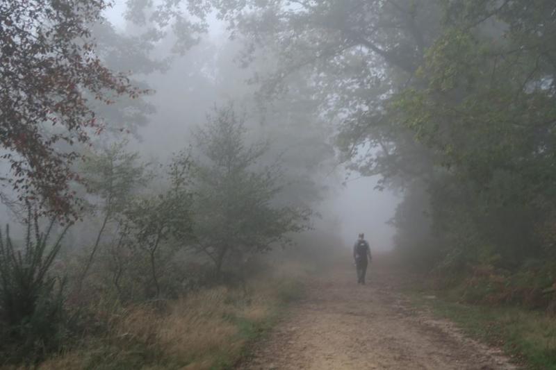
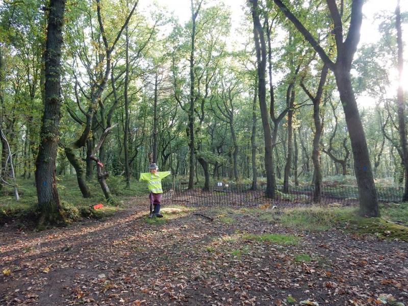
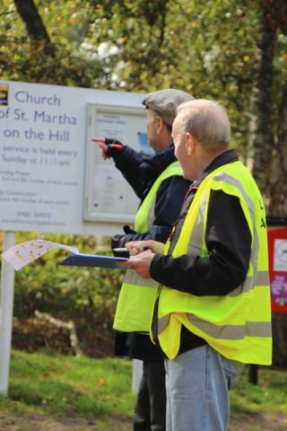
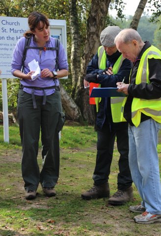
Two routes are now offered; both provide a mixture of woodland, open downland and some fabulous views in an Area of Outstanding Natural Beauty. On a dry but misty morning there were 130 starters: at 9 o'clock 55 walkers set out from Peaslake War Memorial Hall on the 27-mile route and 34 on the 16-mile route; an hour later 41 runners followed on the long route. Both routes were the same for the first section to the foot of St Martha's Hill; this included some changes from previous years between Reynards Hill and Blackheath Village. The route description caused difficulties for some participants, who have commented about its lack of clarity, and so it will be reviewed for 2016.
The 16-mile route takes the easier (and one-fifth of a mile shorter) ascent round the shoulder of St Martha's Hill before going on to the first checkpoint at Guildford Lane car park, which is common to both routes. This route is designed to be both shorter and less challenging making it more accessible for walkers of different abilities. After Guildford Lane it descends to Shere where participants were encouraged to visit the church, pubs and other places of interest. It is then only 4 miles south and then east back to Peaslake.
Meanwhile the people on the longer route are directed up the very steep slope of St Martha's - reputedly the steepest path in Surrey! But rumour has it that some ignore this direction and also take the easier option.... From Guildford Lane this route also descends to Shere but skirts the village and then climbs back up to the North Downs Way which it follows for some way, via Blatchford Down, before branching north on to Ranmore Common and the second checkpoint, positioned at Tanners Hatch Youth Hostel, where there is a memorial seat to Alan Blatchford. It then heads south across the Common and via Steers Field back to the North Downs Way before descending near Wotton and continuing to the final checkpoint at Friday Street, from where it passes south of Sutton Abinger and back to Peaslake.
The day was dry but the early morning mist took a very long time to clear. Marshals directing traffic and organising parking for the early arrivals found it extremely cold and this may have contributed to the two retirements at Checkpoint 1; two others never made it that far - they "got lost" and made their own way back to Peaslake or home. There were two more retirements, one on each route.
However, the weather was ideal for most walkers and runners and the ground perfect after a prolonged dry spell. The quickest runner returned to Peaslake in 4 hours 46 minutes, the first walker on the 27 mile route in 6 hours 20 minutes and on the 16 mile route in 4 hours 48 minutes. Everybody was back at Peaslake by 6:40 p.m.
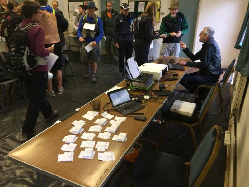
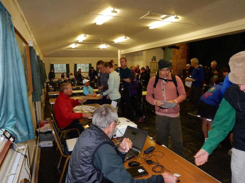
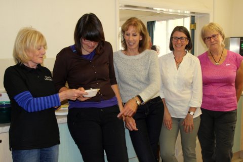
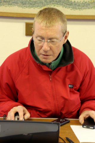
A major innovation was the use of electronic timing for the start and finish. Much time and effort had been put into this by Adam Dawson with support and advice from Tony Cartwright and equipment generously loaned by the Surrey Group. On the day everything went very smoothly and results were published within half an hour of the last people returning to Peaslake! Next year perhaps we can use the system at checkpoints too, if the poor mobile signals available in the forest improve. The registration team was completed by Mary Dumble and Aase Christensen.
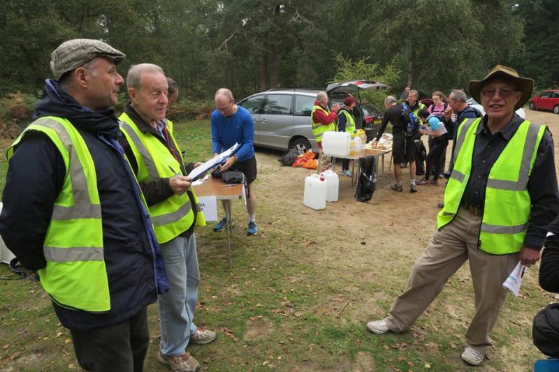
Our sincere thanks go to the Friends of the Hurtwood, the Albury and the Wotton Estates and Surrey Wildlife Trust for use of their car parks and paths; to Tanners Hatch YHA for hosting a checkpoint and the National Trust for allowing access to it for our cars; and to the Hurtwood Inn for providing the essential emergency phone number. Donations, as a token of our appreciation, will be made to the Surrey Wildlife Trust, the Friends of the Hurtwood, Abinger PCC (at the request of the Wotton Estate) and Tanners Hatch Youth Hostel.
Numbers were down slightly - 152 entries (18 on the day) and 130 starters compared with 178 entries and 150 starters in 2014 and 192 entries and 151 starters in 2013. The London Group Committee will be considering the impact on numbers of the change of day and earlier date but have decided to maintain this change for 2016 and make every effort to publicise the event and its pleasures.
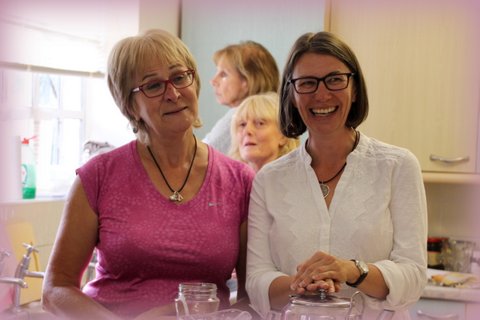
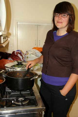
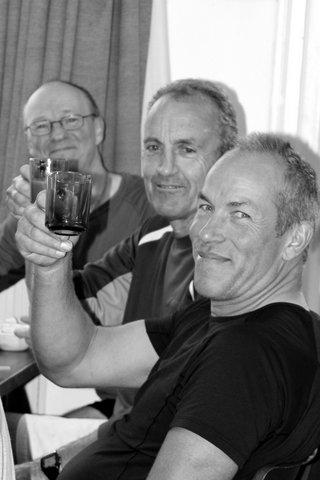
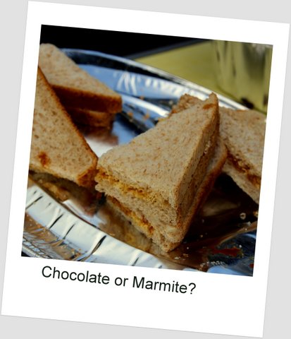
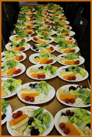
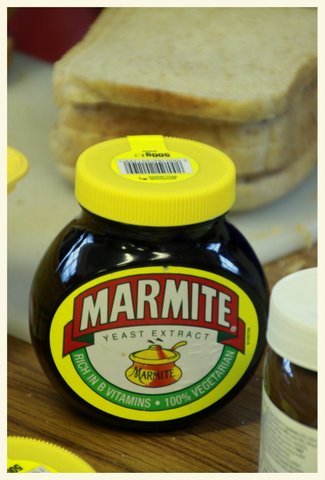
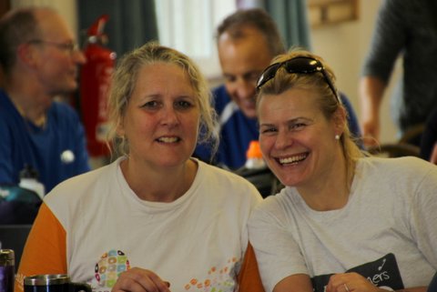
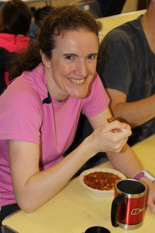
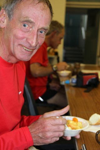
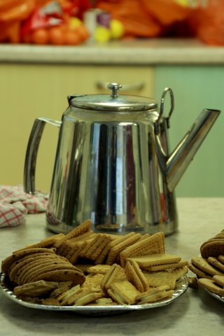
Sincere thanks go also to all the marshals - 31 in total - and especially to those from groups other than London. The participants travel on their stomachs of course and snacks at the checkpoints and a meal - soup, a ploughman's (described by one walker as "very upmarket"!) and fresh fruit salad - were again a vital component of the day. We were also remembering Kathy Loraso who as well as serving as Treasurer and Chair of the Group also ran the Founders kitchen and established its reputation for good food, but sadly died in August. 50 pounds was collected and sent to Macmillan Cancer Support.
This year the catering team was more than capably led by Christine Ketteringham and Catherine Fox. They were assisted by Paula Buckton, Joanna Brackenbury, Julie Dale, Joelle Gerin, Blandine Mathey, Lynne McKenzie and Mafe Sukhia with some others helping to make sandwiches before heading off to other duties.
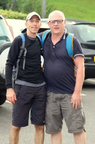
The parking team mentioned earlier as chilling in the morning mist was Nigel Barraclough, Don Newman (who went on to complete the 27 mile route), Alan Painter, John Pennifold, Hazel Stokes and Lonica Vanclay. Ed Berman and Peter Capel as well as several of the participants, helped marshals and other entrants by giving them lifts to Peaslake: their help was greatly appreciated. Ed and Peter went on to appear at various times and locations during the day!
Checkpoint Marshals were:
At CP1 Ed Berman, Don Bolton, Peter Capel, Julie Dale, Laurence Foe and Hazel Stokes.
At CP2 were Ken Fancett, Paul Lawrence, Blandine Mathey, John Pennifold, Peter Russell, Dorothy Shepherd and Dave Williams.
At CP3 were Nigel Barraclough, Peter Capel, Marie Doke, Fabrice Leistner, Hazel Stokes, Lonica Vanclay and Tara Williams
Photographs by Gordon Parker, Olaf Storbeck, Adam Dawson and Julie Dale
Other Files
Download Walk ReportGallery


Maps:
You can use the interactive controls to zoom in and out and to move around the map, or click on a marker for more info. (interactive map help)
Contains Ordnance Survey data © Crown copyright and database right 2016.
© OpenStreetMap contributors under Open Database Licence.
Rights of way data from selected Local Authorities.
Large scale digital mapping is provided by John Thorn.
© OpenStreetMap contributors under Open Database Licence.
Rights of way data from selected Local Authorities.
Large scale digital mapping is provided by John Thorn.


