


DAY CHANGED TO SATURDAY! Another Wetherspoons Odyssey
Sat 28th Nov 2015
Walk Details:
Event Details Updated
NOTE: For operational reasons, it has become necessary to change the day of this walk from Sun. 29th. Nov. to the day before, Sat. 28th. Nov
Event Type
Group Walk
Region
Southern England
Local Group
London
Distance
18ml.
Start Time
09.30
Route
***NOTE WALK HAS BEEN CHANGED TO SATURDAY from Sunday as advertised in "Strider""*** Meet at Bromley South stn (frequent trains from Victoria)
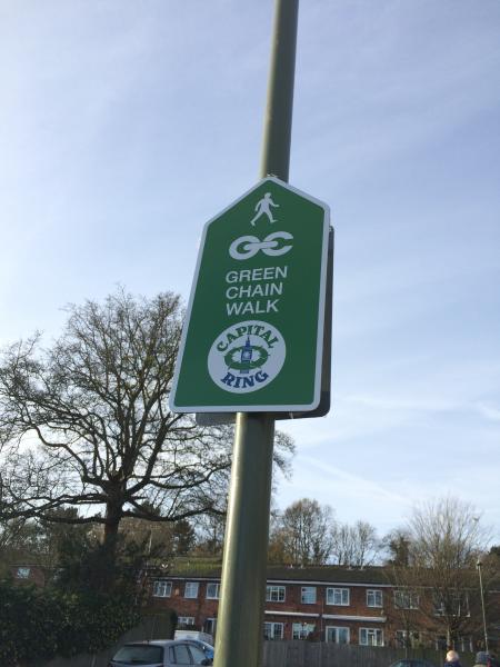
Linear finishing at Tower Hill W'spoons ( Liberty Bounds ) with lunch at The Gatehouse ( W'spoons Greenwich ). The morning follows Capital Ring & river paths then across Blackheath & through Greenwich Park & after lunch will follow the London '100 ' route in reverse to Canary Wharf & along the river to finish
General Notes
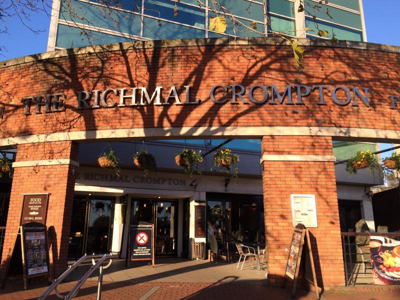
If you want b'fast, meet in The Richmal Crompton W'spoons opp. Bromley S. Stat. at 09.00
Web Site
Start
Finish
Entry Details:
Cost
Walk Report
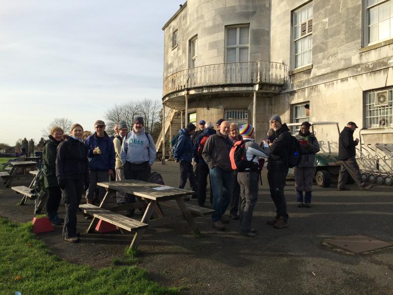
Another Wetherspoons Odyssey, Saturday 28th November 201521 walkers, 17 miles - leader Dave Williams
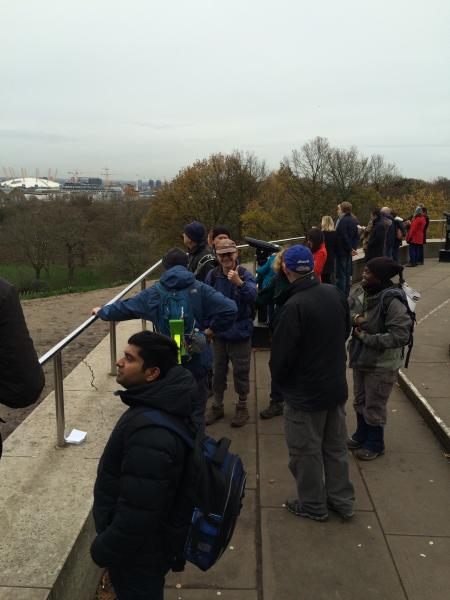
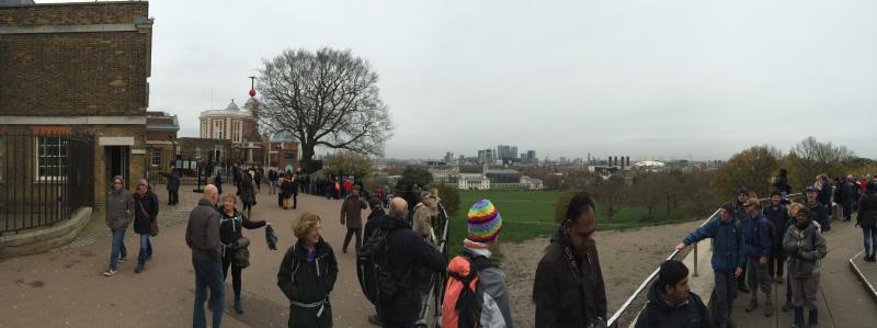
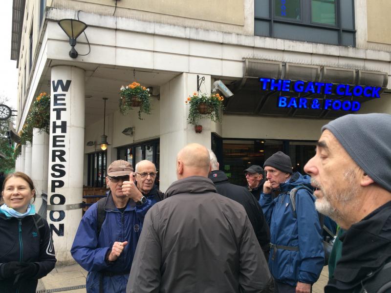
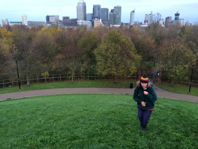
A large and enthusiastic group joined Dave for this 17-mile hike through southern London. The walk started with breakfast in the Richmal Crompton Wetherspoons in Bromley, then followed parts of the Capital Ring and Green Chain Walk through Beckenham Place to Greenwich. After pausing to admire the magnificent panorama from Greenwich observatory, the group dropped down into Greenwich proper, for lunch at the surprisingly un-crowded Gate Clock Wetherspoons.
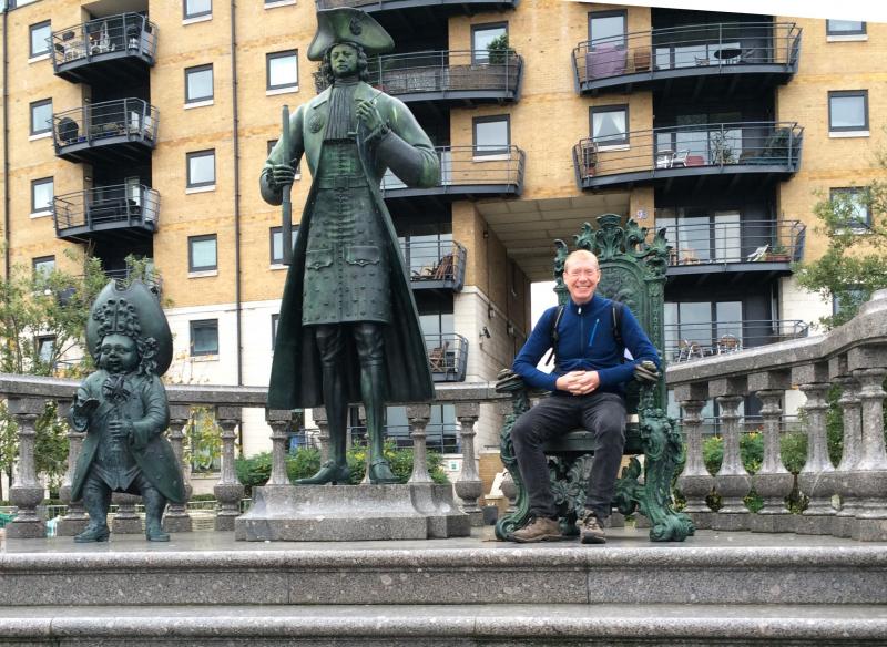
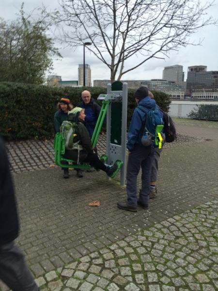
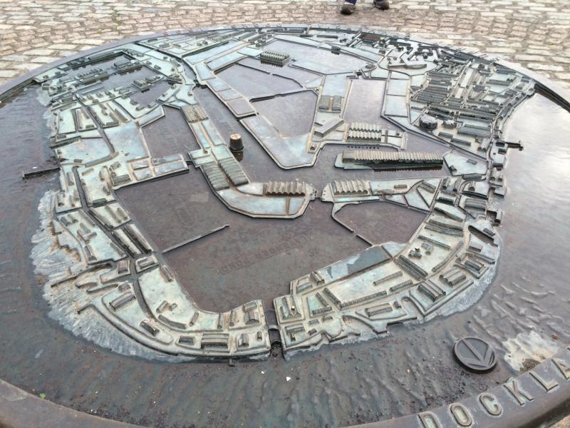
Suitably refreshed, the walk progressed along the southern Thames, through Surrey Quays, taking in excellent views of the skyscrapers of Canary Wharf dominating the right-hand skyline. En route, a curiously elongated Peter the Great was inspected, and the "adults' playground" at Rotherhithe was thoroughly tested.
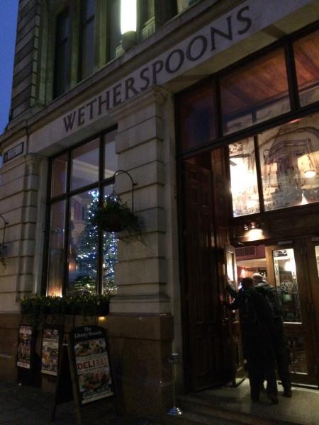
The walked finished at the Liberty Bounds Wetherspoons in Tower Hill, completing a great walk and excellent day out.
Photographs by Adam Dawson
Other Files
Download Walk ReportGallery


Maps:
You can use the interactive controls to zoom in and out and to move around the map, or click on a marker for more info. (interactive map help)
Contains Ordnance Survey data © Crown copyright and database right 2016.
© OpenStreetMap contributors under Open Database Licence.
Rights of way data from selected Local Authorities.
Large scale digital mapping is provided by John Thorn.
© OpenStreetMap contributors under Open Database Licence.
Rights of way data from selected Local Authorities.
Large scale digital mapping is provided by John Thorn.


