


Oxford Semi-Circus
Sat 14th Nov 2015
Walk Details:
Event Details Updated
Note: train appears to leave Paddington 0821 not 0819 as advertised in "Strider"
Event Type
Group Walk
Region
Southern England
Local Group
London
Distance
20ml.
Start Time
09.19
Route
Meet Oxford stn (08.21 from Paddington)
Circular from Oxford stn meeting the Thames, Shakespeare and alma mater
General Notes
Dogs by invitation only
Web Site
Start and Finish
Entry Details:
Cost
Walk Report
Oxford Semi-Circus, Saturday 14th November 201512 walkers, 19 miles - leader Jerome Ripp
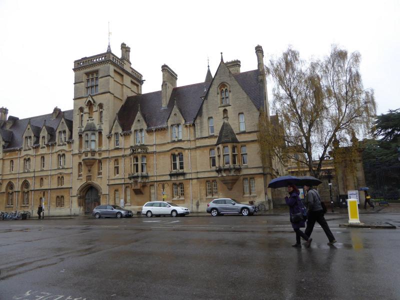
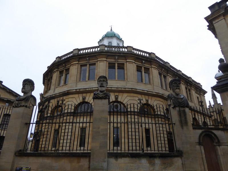
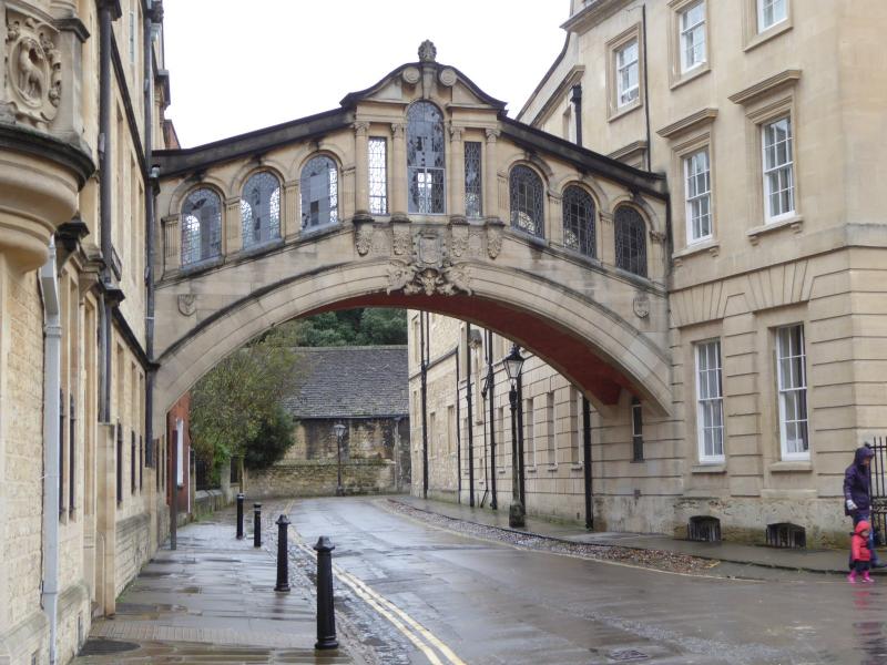
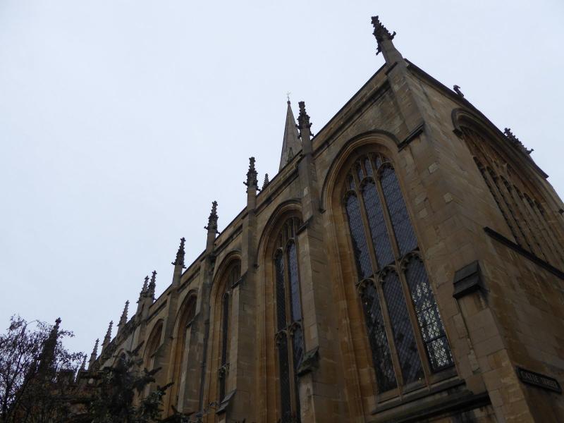
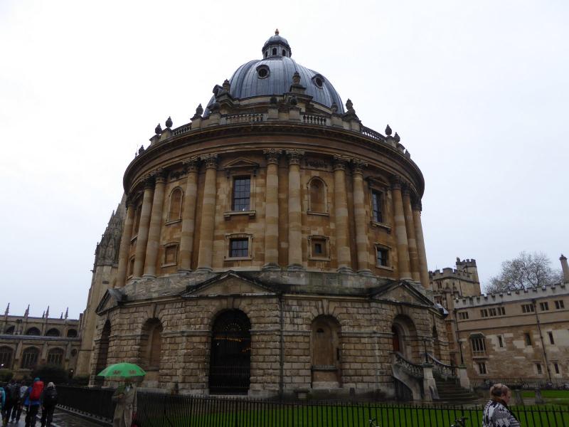
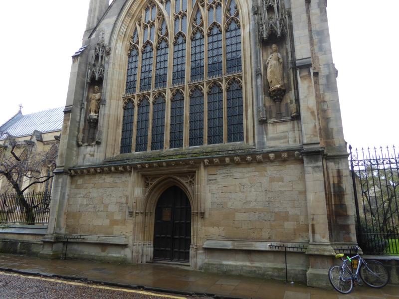
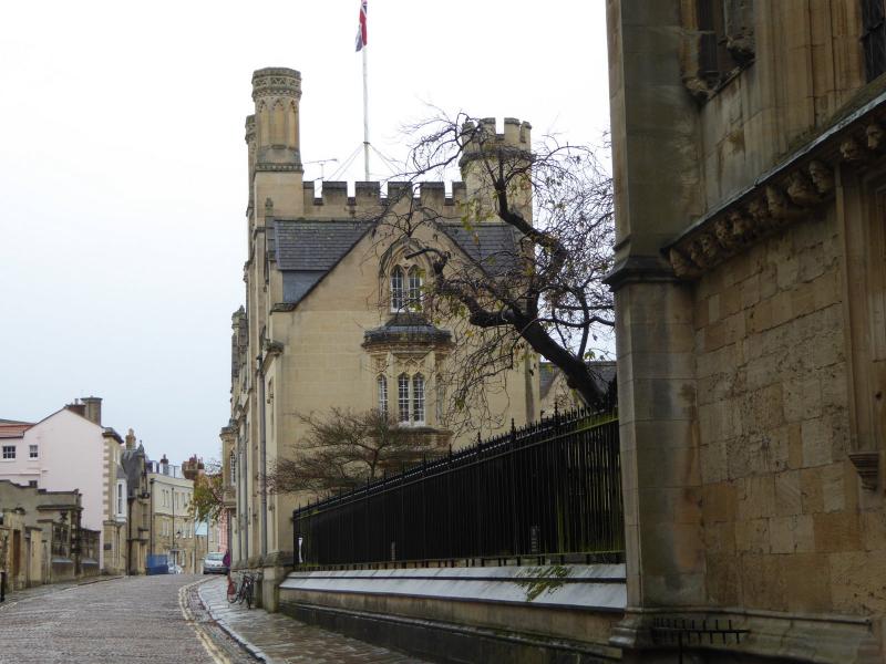
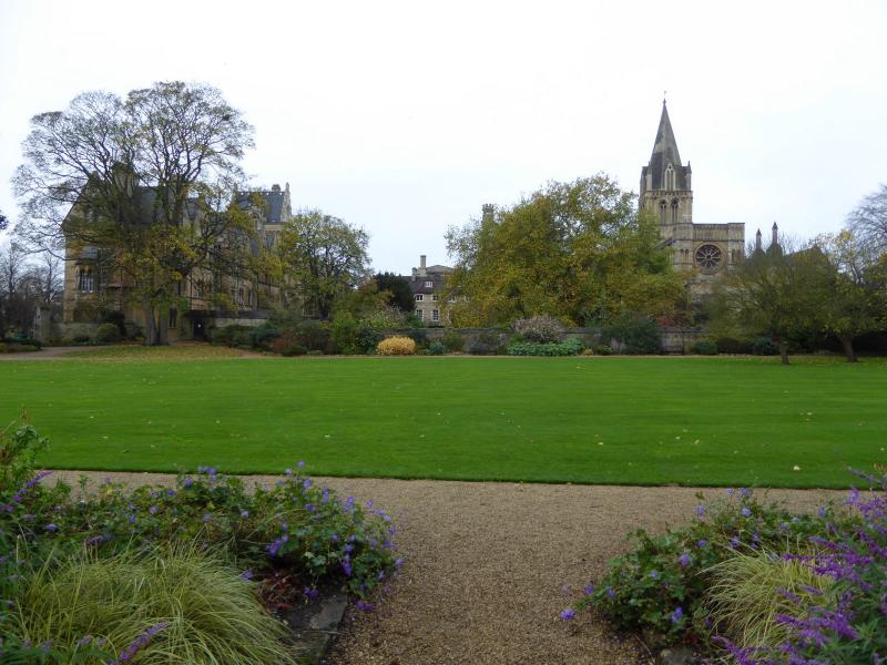
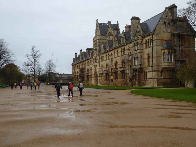
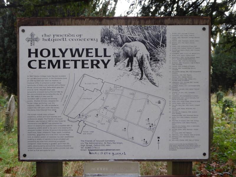
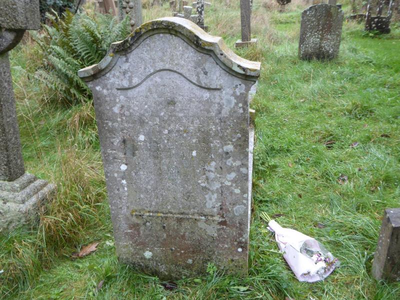
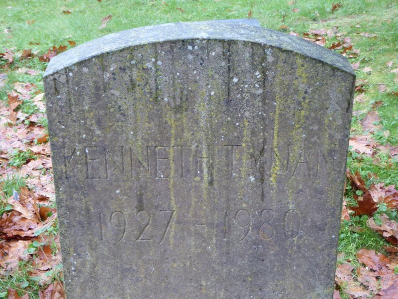
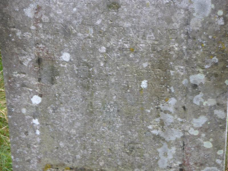
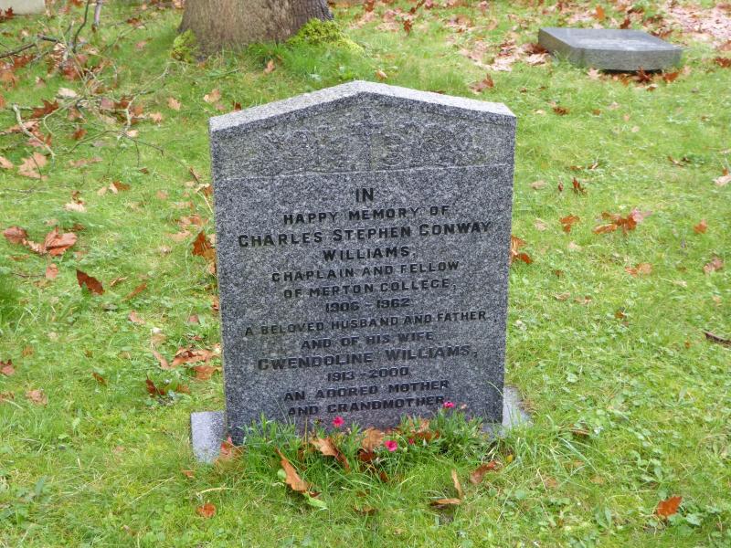
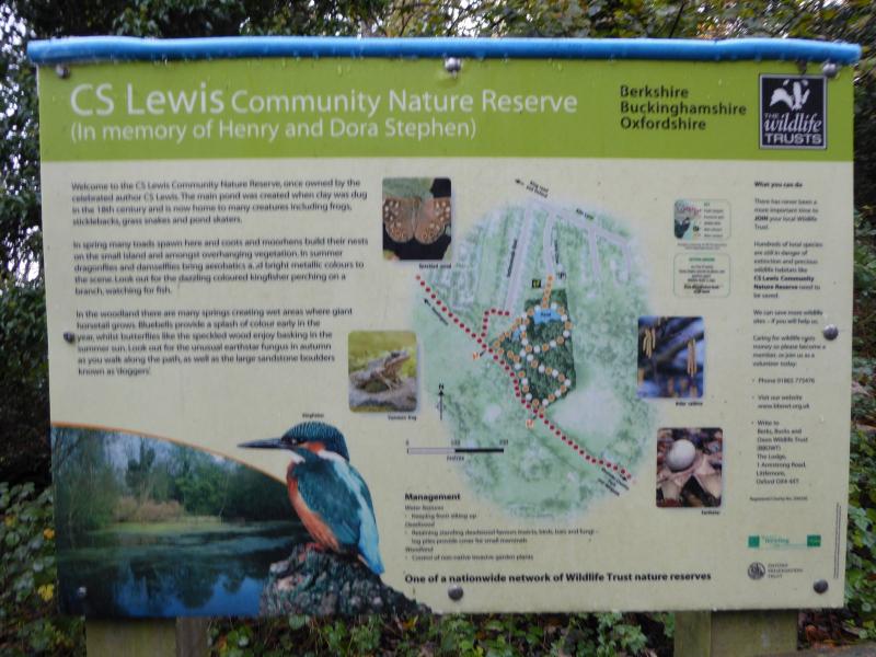
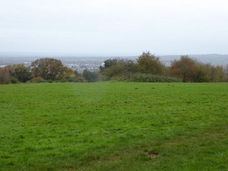
12 determined walkers undeterred by forecast of very bad weather met at Oxford station for a very enjoyable 19-mile semi-circular walk. There was drizzle in the air for part of the day and a heavy shower after lunch but overall the weather was quite OK for walking. We began with a tour of the town to see some of the colleges and famous buildings, including the leader's own alma mater college of Merton and the walk around Christchurch Meadows. A brief stop at Holywell cemetery (Kenneth Grahame and Kenneth Tynan are both buried here), then we headed onto the Mesopotamia path between two branches of the Cherwell river and steadily moved out of the town passing the vast Radcliffe Hospital and reached Headington. Passing close to the remains of Headington Quarry which had provided the stone for many college buildings, and through the CS Lewis nature reserve to Shotover Plain with views of the Cowley car works. Down through some delightful woodland to Garsington where the leader managed to find two closed pubs before finding an open one.
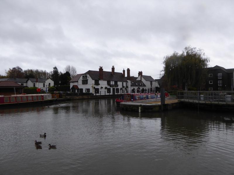
Suitably refreshed, even though it was instant coffee, we headed west towards the flood plains of the Thames and joined up with the Shakespeare Way to Sandford and the river. From here it was a pleasant towpath walk accompanied by many rowing groups and their trainers following the Thames to Osney Mead and back to the station.
Photographs by Paul Lawrence
Other Files
Download Walk ReportGallery


Maps:
You can use the interactive controls to zoom in and out and to move around the map, or click on a marker for more info. (interactive map help)
Contains Ordnance Survey data © Crown copyright and database right 2016.
© OpenStreetMap contributors under Open Database Licence.
Rights of way data from selected Local Authorities.
Large scale digital mapping is provided by John Thorn.
© OpenStreetMap contributors under Open Database Licence.
Rights of way data from selected Local Authorities.
Large scale digital mapping is provided by John Thorn.


