
Crossing Contours in Reverse
Sun 10th May 2015
Walk Details:
A tough, hilly walk for strong walkers, approx 4,000' asc
Entry Details:
Walk Report
Crossing Contours in Reverse."A tough hilly walk" from Great Kingshill.
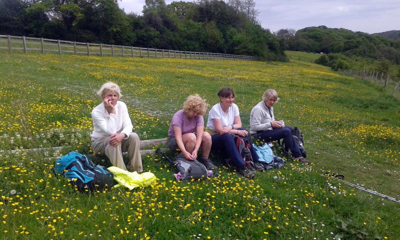
The picture was taken mid-afternoon at the top of a short steep slope between Flowers Bottom and Turnip End. The walk itself lived up to its billing, being about 22.5 miles and 3700 feet of ascent (according to Memory-Map) and Martin chose his lunch point to give us splendid views from the top of Loxboro Hill. The route took us through Towerage, Piddington, Lacey Green, Bryant's Bottom and Stony Green as well. The climbing tended to be up long, steady slopes rather than short, precipitous ones; this is in contrast, apparently, to the first time the walk was done (in the opposite direction).
Words by Graham Croucher, photo by Chris Lloyd.
Other Files
GPX
A GPX file of the above route may be downloaded by clicking the link below.
Note: GPX files of Group Walks are created by LDWA Group members, and may be downloaded only by other LDWA members. They should not be made available outside the LDWA, and are used at members' own risk.
Login to Download (Members Only)You can use the interactive controls to zoom in and out and to move around the map, or click on a path or a marker for more info. (interactive map help)
You can use the interactive controls to zoom in and out and to move around the map, or click on a path or a marker for more info. (interactive map help)
© OpenStreetMap contributors under Open Database Licence
Rights of way data from selected Local Authorities
Large scale digital mapping is provided by John Thorn
At high zoom levels the route is indicative only.
Gallery
Maps:
You can use the interactive controls to zoom in and out and to move around the map, or click on a marker for more info. (interactive map help)
© OpenStreetMap contributors under Open Database Licence.
Rights of way data from selected Local Authorities.
Large scale digital mapping is provided by John Thorn.


