


Hills and Views
Wed 16th Sep 2015
Walk Details:
To end by 20.50 at Alexandra Palace for trains south to Finsbury Park, Moorgate, Kings Cross, and north to Welwyn Garden City etc.
Hilly route via Regent Street (north), Portland Place, Park Crescent and into Regents Park to Primrose Hill; on to Parliament Hill, Highgate Wood, Muswell Hill, Alexandra Palace. Free toilets at The Hub after 2 miles. Pub stop at end is The Starting Gate for food and drinks including Meantime beers. Torches advised for the Wood;
Entry Details:
Walk Report
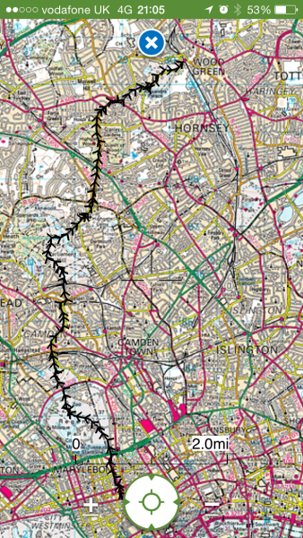
Hills and Views, Wednesday 16th September 201511 walkers, 8 miles - leader Roderick Smith
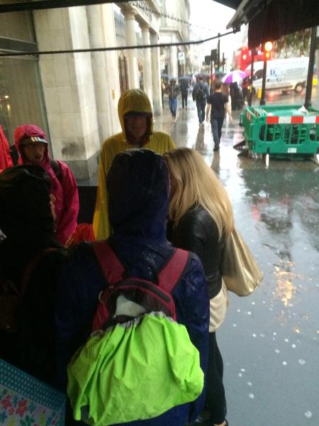
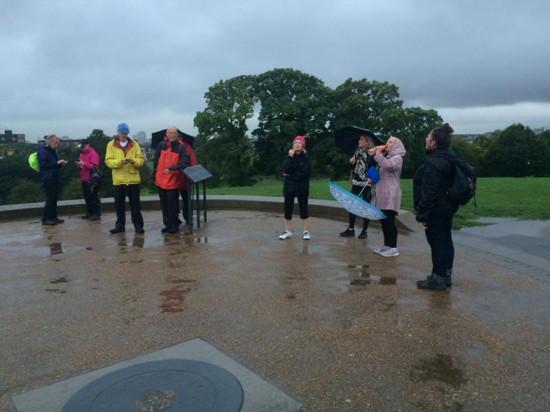
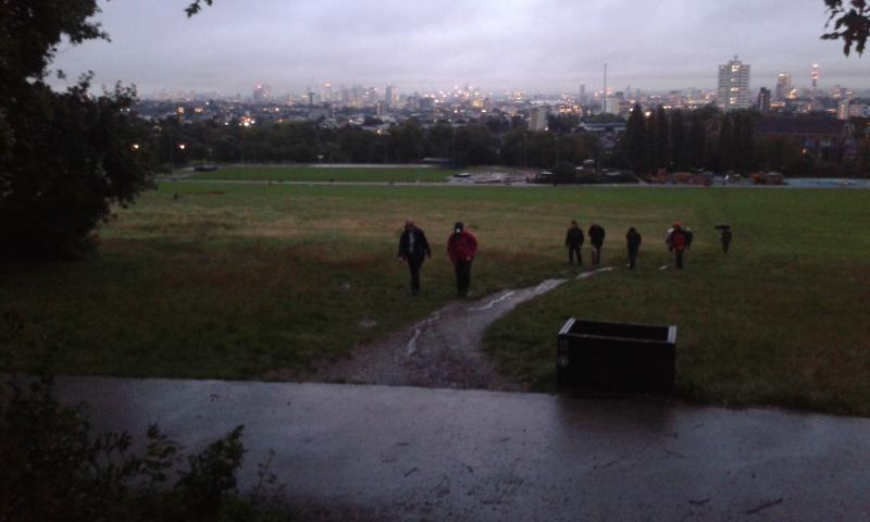
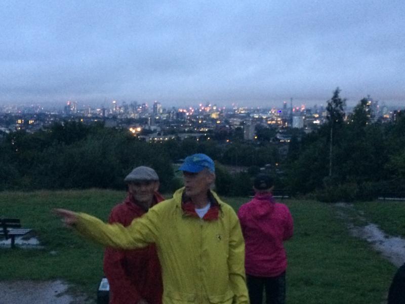
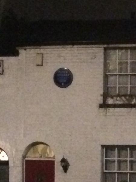
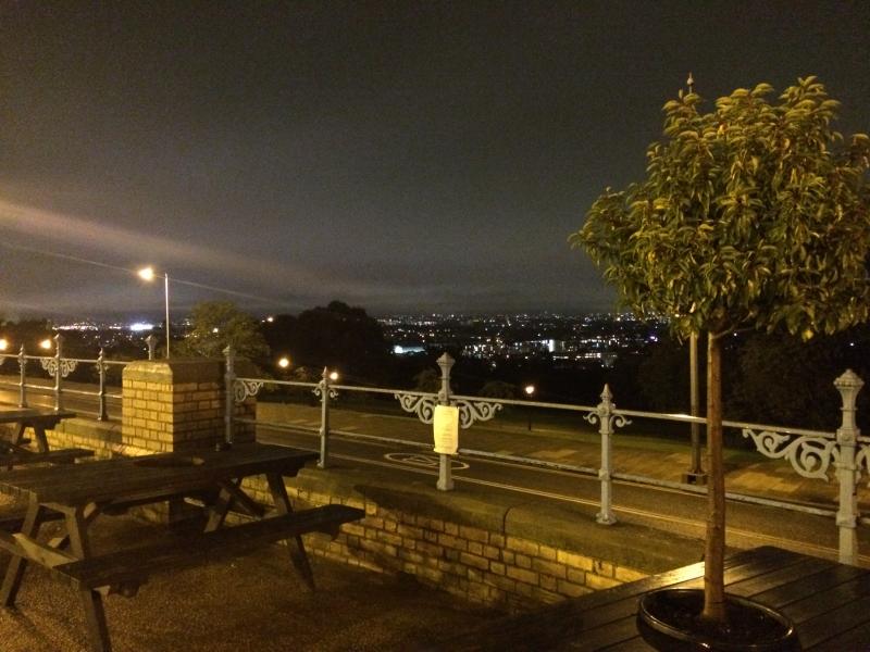
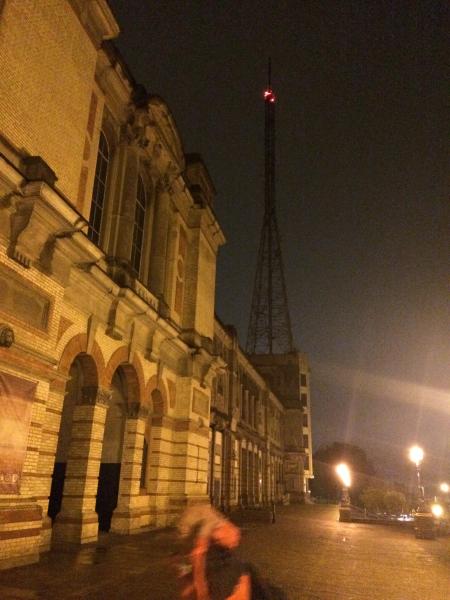
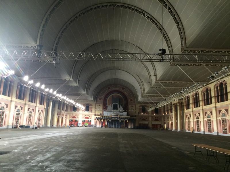
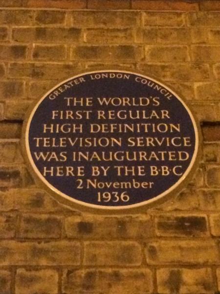
Eleven of us met at Oxford Circus for an evening walk to Alexandra Palace. Heavy showers were forecast and we had scarcely left Oxford Circus before the heavy rain arrived. On to the "world pavement" artwork by Mark Pimlott in front of the BBC, and via The Hub to the top of Primrose Hill. Low cloud covered the tops of the tallest buildings in the City and Canary Wharf. Thence via Englands Lane and Roderick Road to the top of Parliament Hill, followed by the climb to Highgate Hill. Three caught a bus to Kings Cross. Highgate Wood was locked shut for the night so eight of us continued along the road to Muswell Hill and Alexandra Palace. Excellent view of London from AP. Two returned home, while six went to The Starting Gate pub for supper before trains and tube back to Moorgate, Kings Cross and Vauxhall. 8 miles in 3 wet hours. My thanks to all who braved the weather for an enjoyable walk.
Photographs by Roderick Smith and Adam Dawson
Other Files
Download Walk ReportGPX
A GPX file of the above route may be downloaded by clicking the link below.
Note: GPX files of Group Walks are created by LDWA Group members, and may be downloaded only by other LDWA members. They should not be made available outside the LDWA, and are used at members' own risk.
Login to Download (Members Only)You can use the interactive controls to zoom in and out and to move around the map, or click on a path or a marker for more info. (interactive map help)
You can use the interactive controls to zoom in and out and to move around the map, or click on a path or a marker for more info. (interactive map help)
© OpenStreetMap contributors under Open Database Licence
Rights of way data from selected Local Authorities
Large scale digital mapping is provided by John Thorn
At high zoom levels the route is indicative only.
Gallery


Maps:
You can use the interactive controls to zoom in and out and to move around the map, or click on a marker for more info. (interactive map help)
© OpenStreetMap contributors under Open Database Licence.
Rights of way data from selected Local Authorities.
Large scale digital mapping is provided by John Thorn.


