


London Parks Way (1 of 3); Kingston Stn to Hammersmith Stn
Sat 10th Oct 2015
Walk Details:
Event Details Updated
Note the walk details have been updated slightly compared to "Strider", with corrected train times (08.27 rather than 08.30), breakfast option, and information for car drivers.
Event Type
Group Walk
Region
Southern England
Local Group
London
Distance
22ml.
Start Time
09.00
Route
Start Kingston Stn. Dep Waterloo 08.27 or 07.57 for option of Wetherspoons breakfast in Kings Tun opposite station
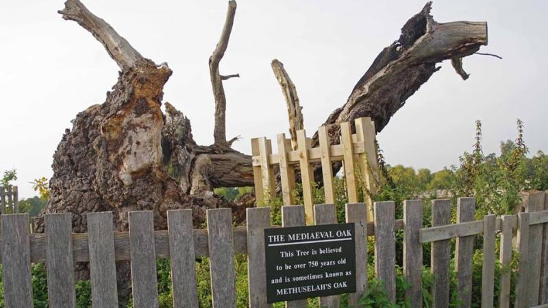
First part of walk through London Parks. Highlights include Home Park, Hampton Court Formal Gardens, Bushy Park and Richmond Park
General Notes
Lunch Kingston Riverfront pub or picnic. Walk finishes at Hammersmith Station via Barnes Bridge 19 mil. Car drivers may leave walk early to catch train from Barnes Bridge back to Kingston
Web Site
Start and Finish
Entry Details:
Cost
Walk Report
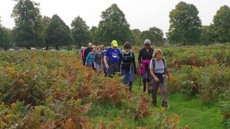
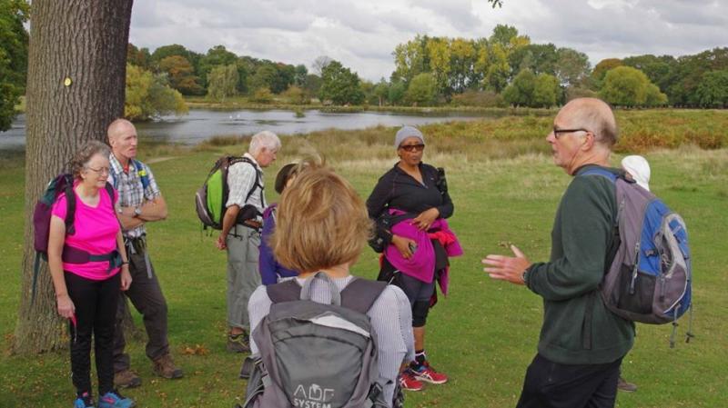
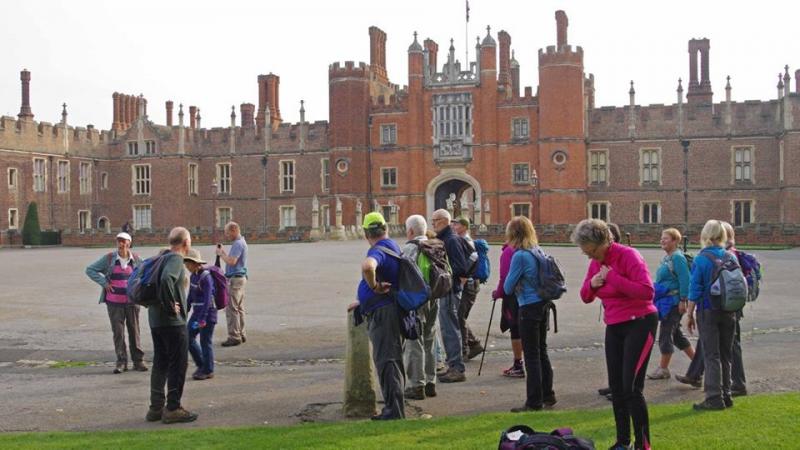
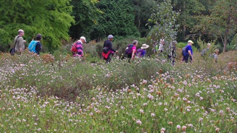
London Parks Way Part 1 - Kingston to Hammersmith, Saturday 10th October 201522 walkers, 22 miles - leader Rob Myers
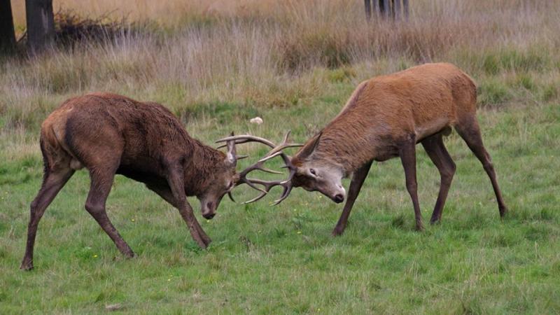
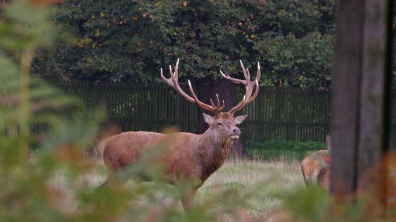
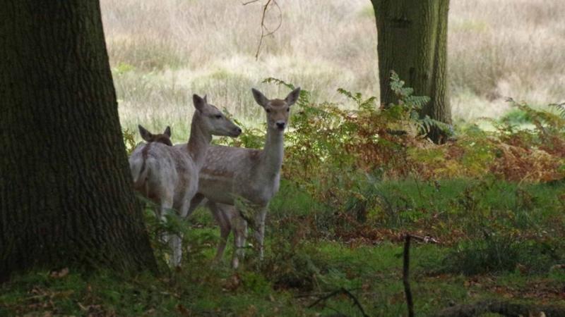
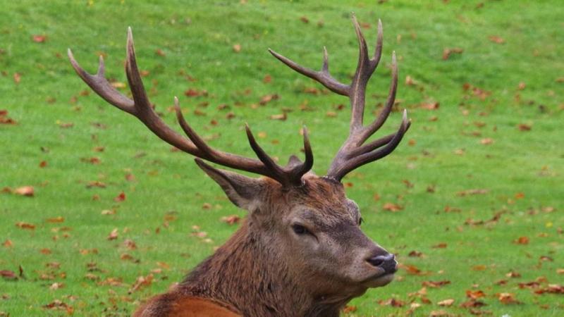
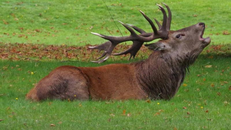
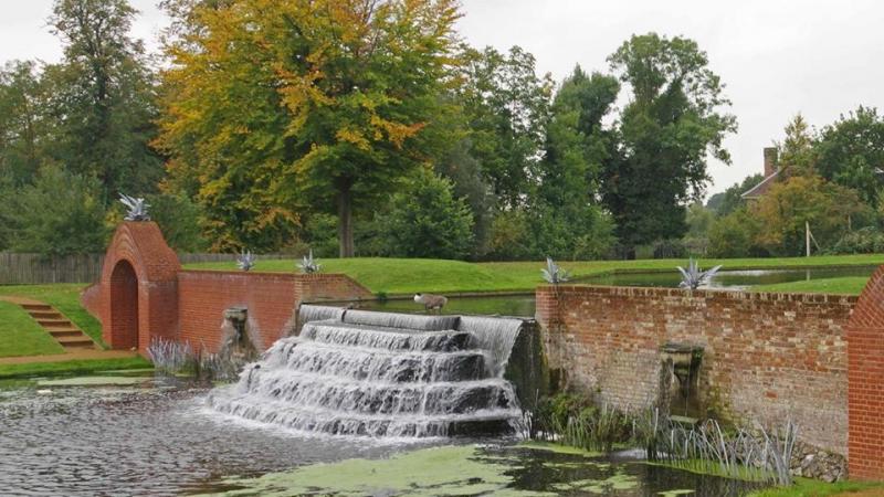
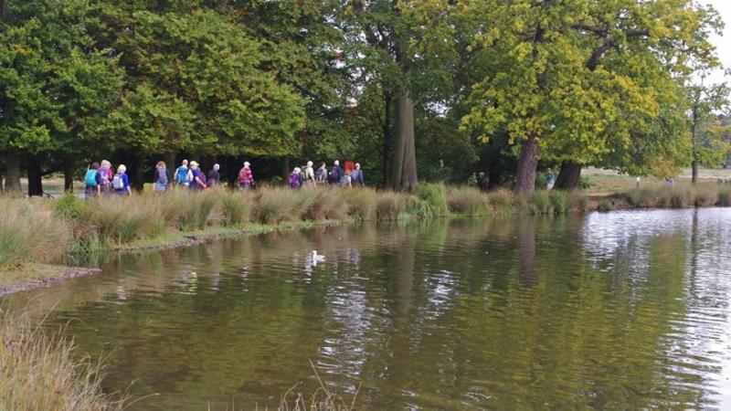
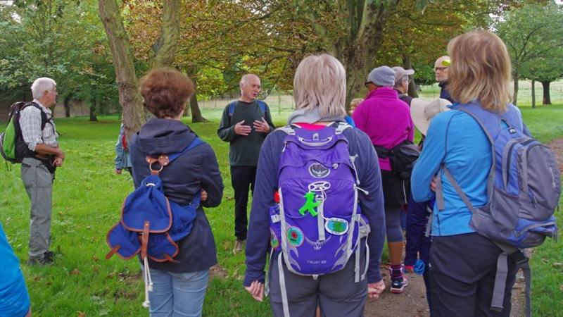
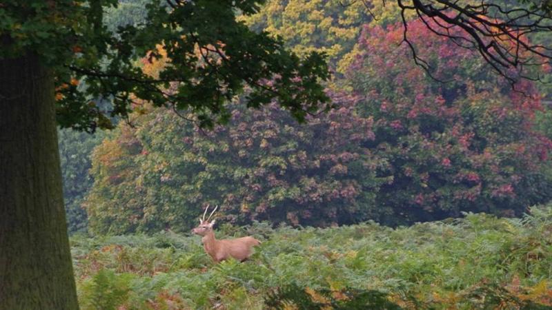
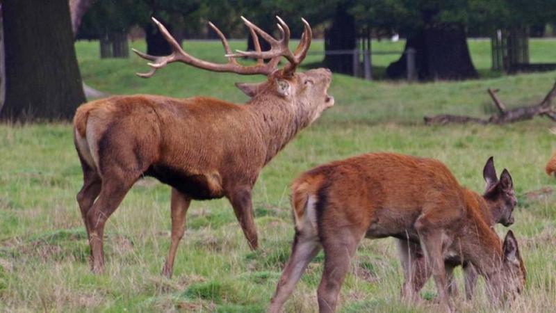
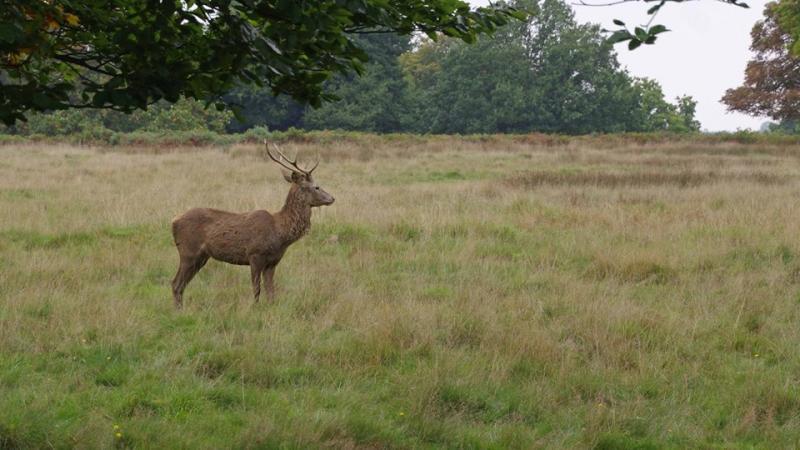
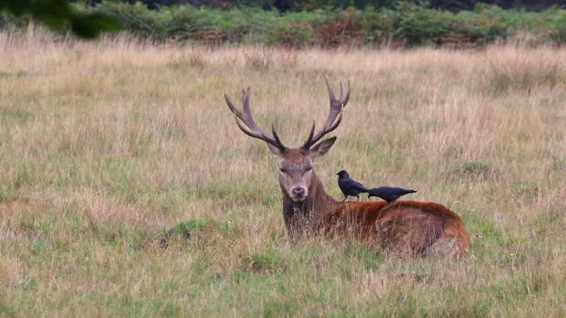
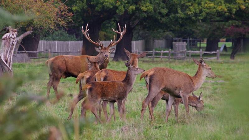
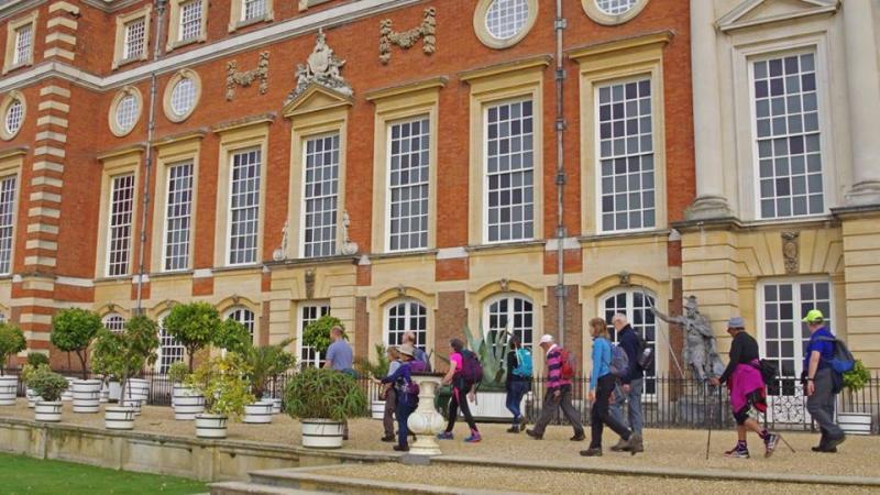
The final part of Rob's London Parks Way walk was between Kingston and Hammersmith. This attracted 22 people on a pleasant Autumn day. It was good to see a lot a lot of people who had done other parts of the walk. The walk began in Hampton Court Park and then proceeded to Hampton Court Palace where we visited the formal gardens (free of charge after Sept 30th). We then did a tour of Bushy Park and we all enjoyed watching the red deer antics during rutting season.
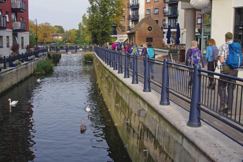
After a lunch break along Kingston riverfront we spent most of the afternoon exploring Richmond Park. Again the red deer were the main attraction. Early October is a really magical time to visit the park! We had a close encounter with 2 young male stags who had their horns interlocked and were practicing the rut. After Richmond Park we crossed Barnes Bridge and finished with a pleasant walk along the Thames back to Hammersmith. Congratulations to Dave, Neil and Joelle who completed all 3 parts of the 67-mile route.
Photographs by Paul Cutmore
Other Files
Download Walk ReportGallery


Maps:
You can use the interactive controls to zoom in and out and to move around the map, or click on a marker for more info. (interactive map help)
Contains Ordnance Survey data © Crown copyright and database right 2016.
© OpenStreetMap contributors under Open Database Licence.
Rights of way data from selected Local Authorities.
Large scale digital mapping is provided by John Thorn.
© OpenStreetMap contributors under Open Database Licence.
Rights of way data from selected Local Authorities.
Large scale digital mapping is provided by John Thorn.


