


Chess, Misbourne and Colne
Sun 24th May 2015
Walk Details:
Event Details Updated
NOTE! The chef at the pub in Chalfont St Giles has broken her leg so only sandwiches will be available if you take the pub lunch option. The usual selection are available (only white bread I'm afraid and only cold fillings including egg mayo, tuna, ham, cheese, bacon, sausage) so please think about what you'd like and let me know on the morning of the walk. I will phone our order through before we arrive, to speed up the process.
Event Type
Group Walk
Region
Southern England
Local Group
London
Distance
19ml.
Start Time
09.34
Route
Meet Rickmansworth stn
(09.12 Chiltern railways from Marylebone or frequent Metropolitan line trains). Explore the Chess, Misbourne and Colne valleys in a circular walk from Rickmansworth stn. Late lunch at Chalfont St Peter (11ml), pub (White Hart), café or sandwiches in nearby park
General Notes
Download GPX file at: http://bit.ly/1CuwFl1 . Dogs on leads only
Web Site
Start and Finish
Entry Details:
Cost
Walk Report
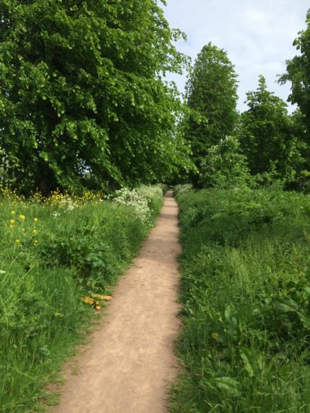
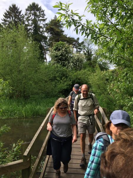
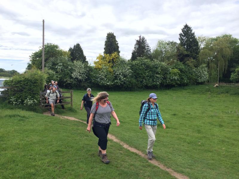
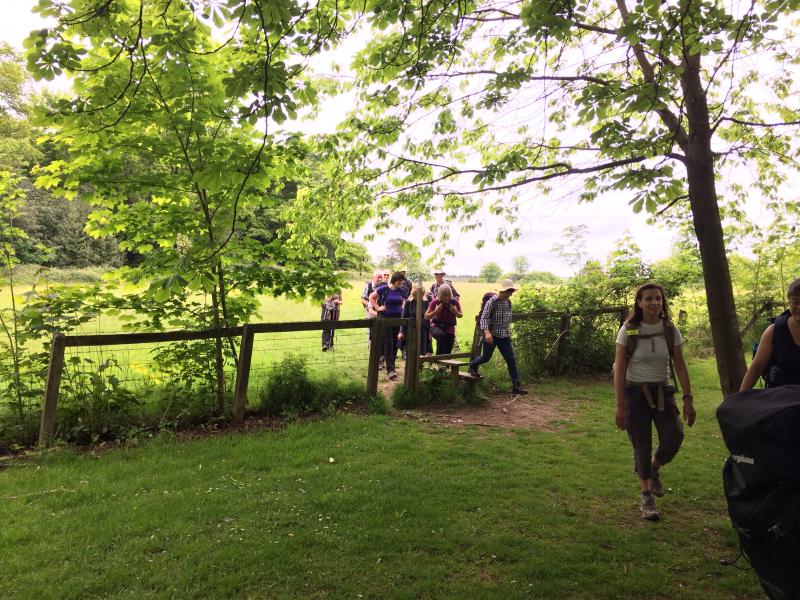
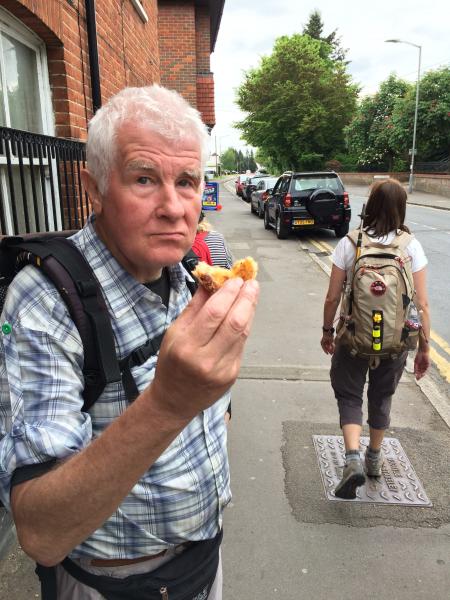
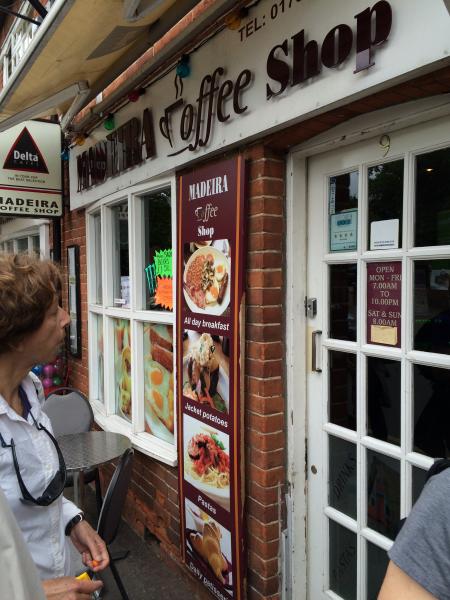
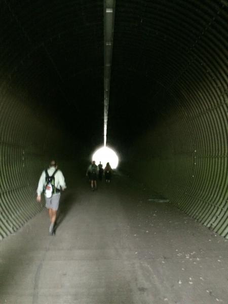
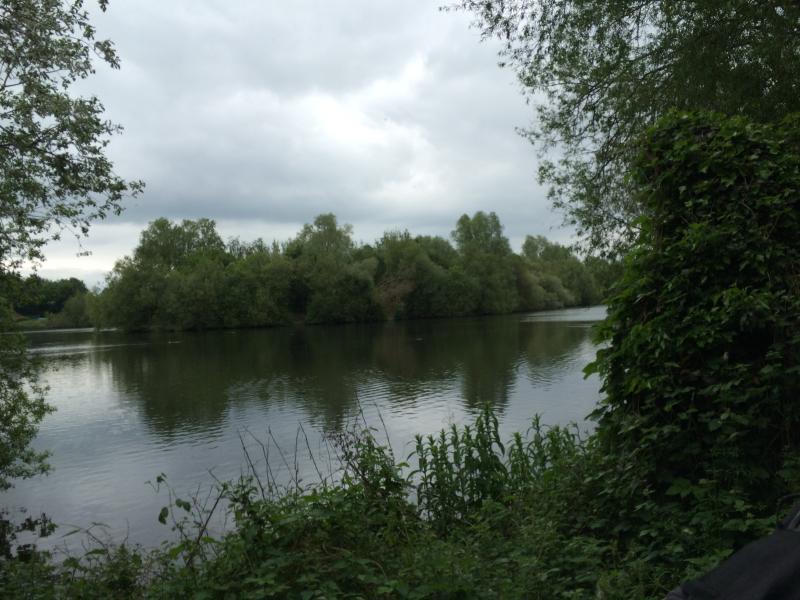
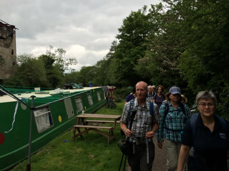
Chess, Misbourne and Colne Valley Explorer, Sunday 24th May 201519 walkers, 20 miles - leader Adam Dawson
An unusually interesting walk which started with an unexpected encounter with Batman at Rickmansworth station (on his way to a Super Heroes convention, apparently) and included a trip to a bit of Portugal hidden away in the Chalfonts - at the famous Madeiran custard tart shop in Chalfont St Peter. On the way, we explored three valleys, dodged the rain, and had a picnic. And the diversion at the end to avoid the sewage works had the additional benefit of leading to a lakeside cafe - a perfect end to a great day out, with Rickmansworth and environs looking their Spring finest.
Photographs by Adam Dawson.
Other Files
Download Walk ReportGallery

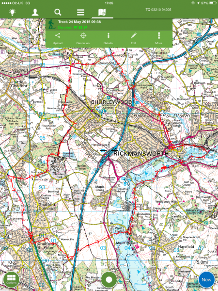
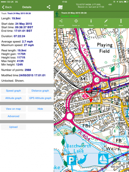
Maps:
You can use the interactive controls to zoom in and out and to move around the map, or click on a marker for more info. (interactive map help)
Contains Ordnance Survey data © Crown copyright and database right 2016.
© OpenStreetMap contributors under Open Database Licence.
Rights of way data from selected Local Authorities.
Large scale digital mapping is provided by John Thorn.
© OpenStreetMap contributors under Open Database Licence.
Rights of way data from selected Local Authorities.
Large scale digital mapping is provided by John Thorn.


