
November in Nuffle-bed
Sun 16th Nov 2014
Walk Details:
Event Type
Group Walk
Region
Southern England
Local Group
Thames Valley
Distance
c20ml.
Start Time
Meet 09.00
Route
Whitchurch High St opp Eastfield Lane
General Notes
Park in High St or in nearby roads
Web Site
Start and Finish
Entry Details:
Cost
Walk Report
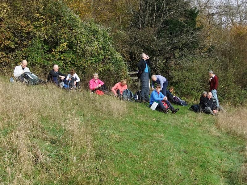
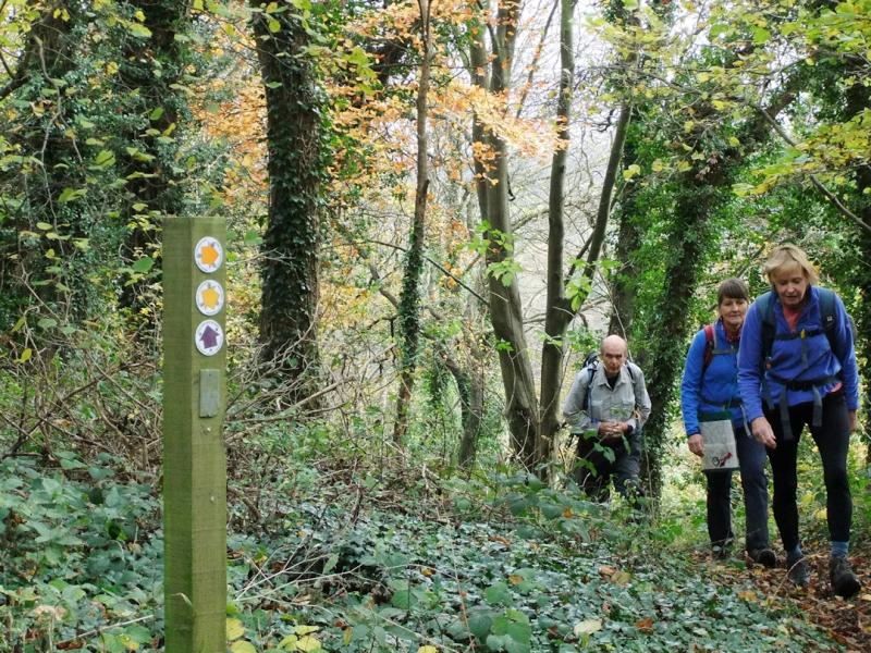
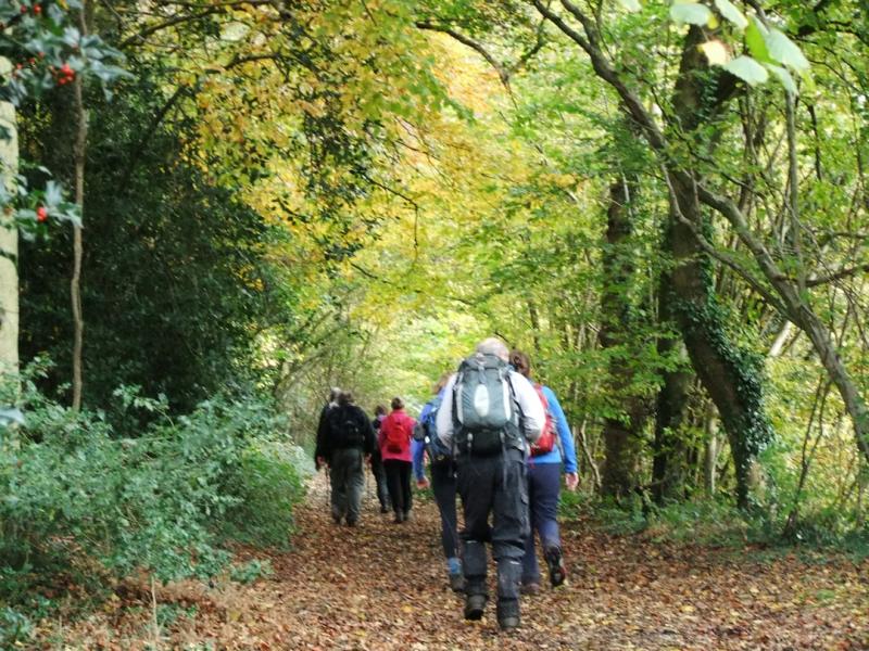
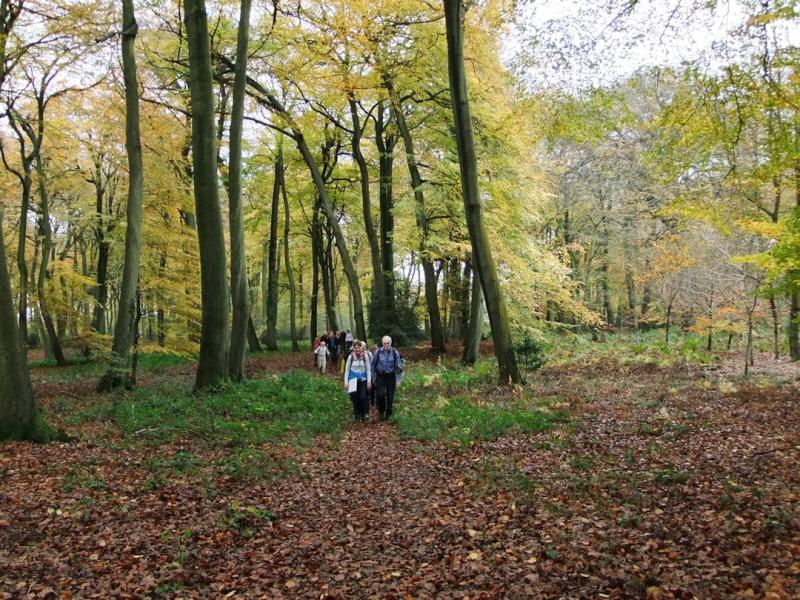
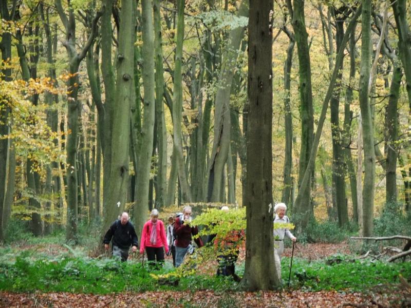
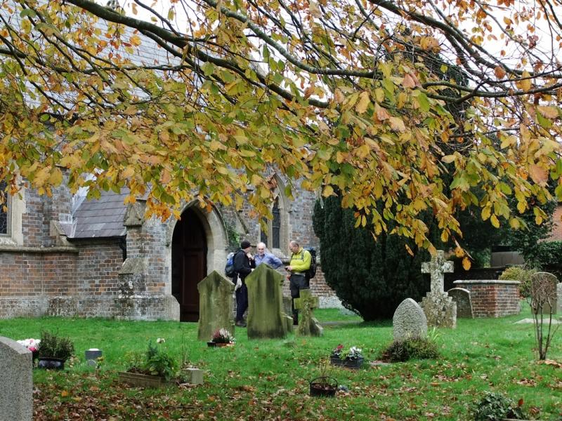
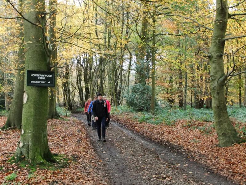
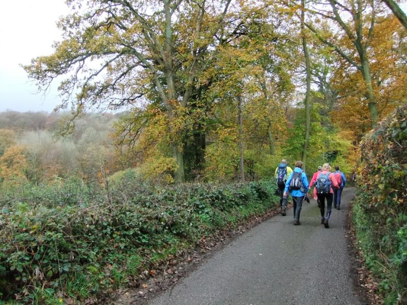
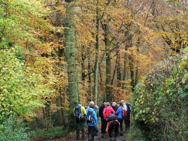
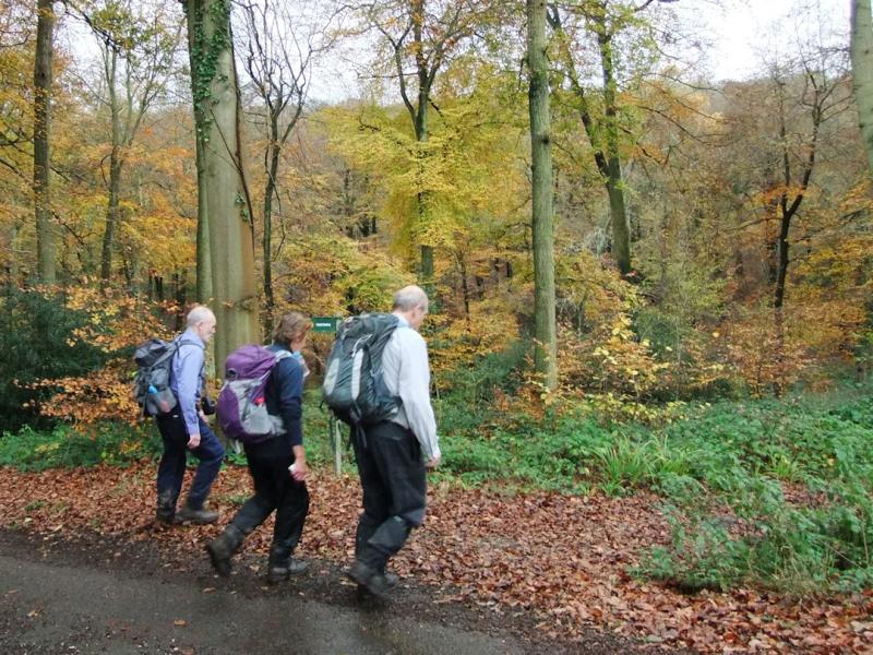
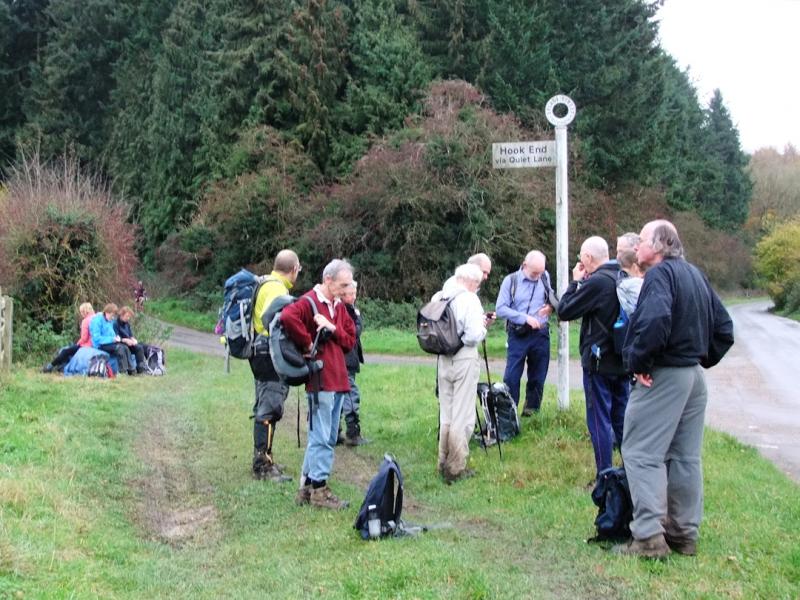
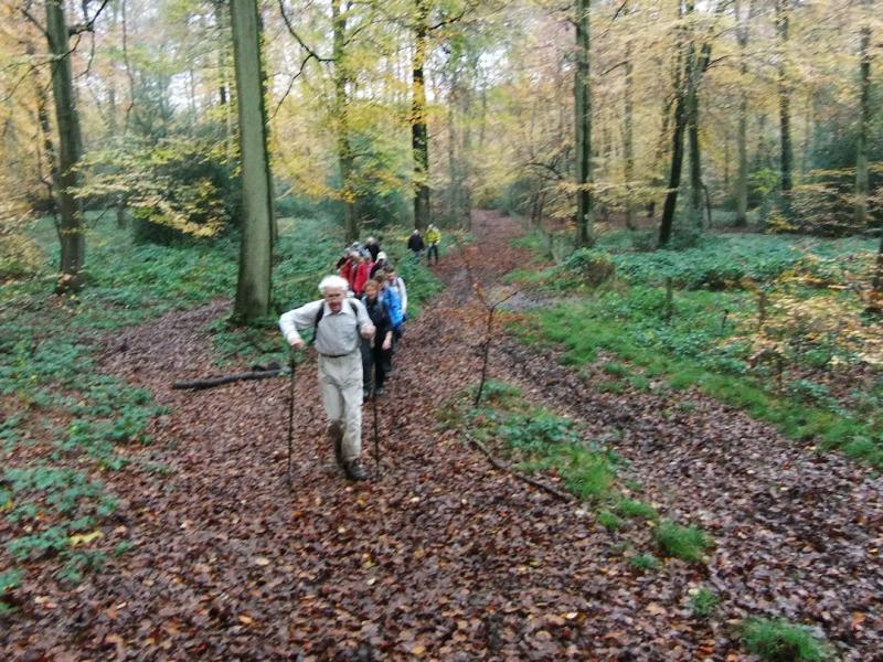
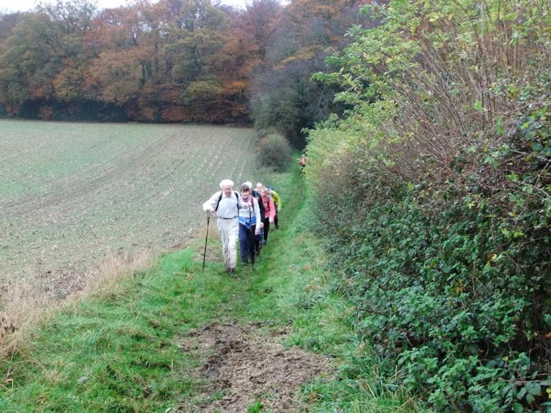
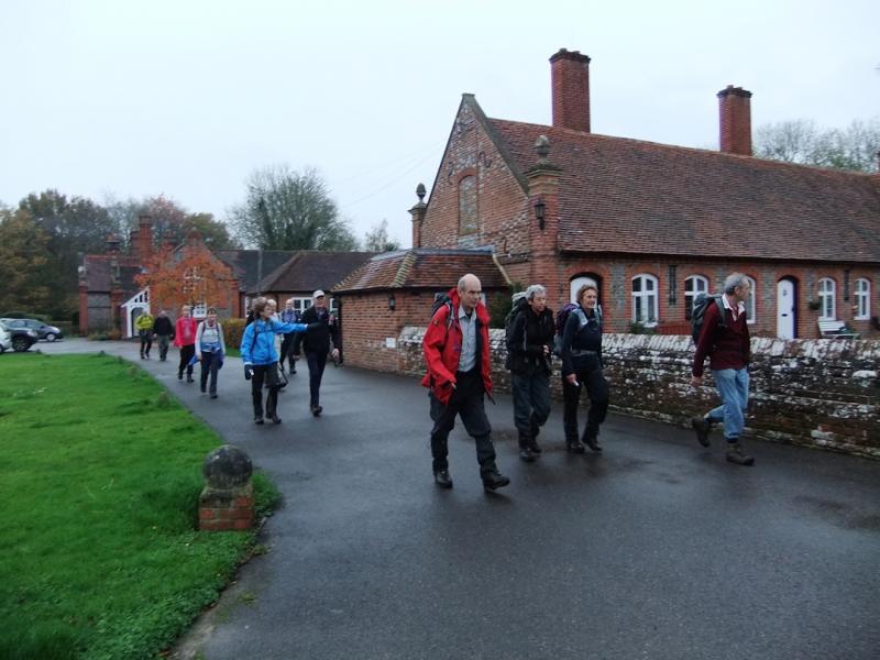
I took some photos on Sunday's walk. It was about the top end of length and difficulty for a social walk at this time of year, at 21 miles with most of the height gain in the first 8. I was prepared to cut across the south of Nettlebed if we didn't make it to Nuffield church with e-Nuff time to get back in daylight, but in the end despite a severe weather warning's worth of rain having been dumped on the route two days before, and a gloomy overcast late afternoon we managed the whole route and enjoyed some lovely views and late autumn beech wood colour.We went out via Cray's Pond through woods to Woodcote then picked up the Chiltern Way Extension to Ipsden then turned off and up to join the Ridgeway just before Nuffield Church. The service was in progress as expected so we could not avail ourselves of the refreshments now on offer - very useful for walks during the week - but there was still the water tap. Then on via Park Wood, skirting Nuffield Place to the lunch stop at Nettlebed, then back via Stoke Row, Checkendon, Exlade Street, the Almshouses at Goring Heath, and the Hardwick Estate.
Helen Abbott (words and pictures).
Other Files
GPX
A GPX file of the above route may be downloaded by clicking the link below.
Note: GPX files of Group Walks are created by LDWA Group members, and may be downloaded only by other LDWA members. They should not be made available outside the LDWA, and are used at members' own risk.
Login to Download (Members Only)You can use the interactive controls to zoom in and out and to move around the map, or click on a path or a marker for more info. (interactive map help)
You can use the interactive controls to zoom in and out and to move around the map, or click on a path or a marker for more info. (interactive map help)
Contains Ordnance Survey data © Crown copyright and database right 2016.
© OpenStreetMap contributors under Open Database Licence
Rights of way data from selected Local Authorities
Large scale digital mapping is provided by John Thorn
At high zoom levels the route is indicative only.
© OpenStreetMap contributors under Open Database Licence
Rights of way data from selected Local Authorities
Large scale digital mapping is provided by John Thorn
At high zoom levels the route is indicative only.
Gallery
Maps:
You can use the interactive controls to zoom in and out and to move around the map, or click on a marker for more info. (interactive map help)
Contains Ordnance Survey data © Crown copyright and database right 2016.
© OpenStreetMap contributors under Open Database Licence.
Rights of way data from selected Local Authorities.
Large scale digital mapping is provided by John Thorn.
© OpenStreetMap contributors under Open Database Licence.
Rights of way data from selected Local Authorities.
Large scale digital mapping is provided by John Thorn.


